5 Outstanding Late Winter Hikes in the Mourne Mountains

Would you like to sponsor this article?

Have you climbed Eagle Mountain and Slieve Moughanmore?
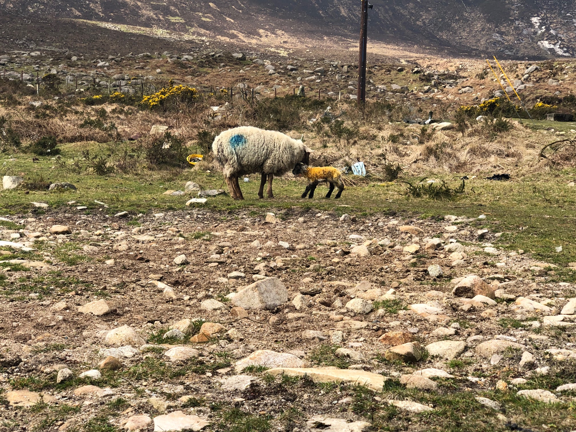
After stopping off at the shop in Attical to top up on my lunch, I drove on down towards the Sandy Brae. It’s about 1/2 mile outside Attical – just as you see the GAA ground, it’s the lane on the right just before it. Heading up Sandy Brae you will drive for about another 1/2 mile or so before you reach a farmyard where you can park on the left hand side of the yard. This is what greeted me in the field beside the farmyard.
READ: Slieve Bearnagh via Hare’s Gap
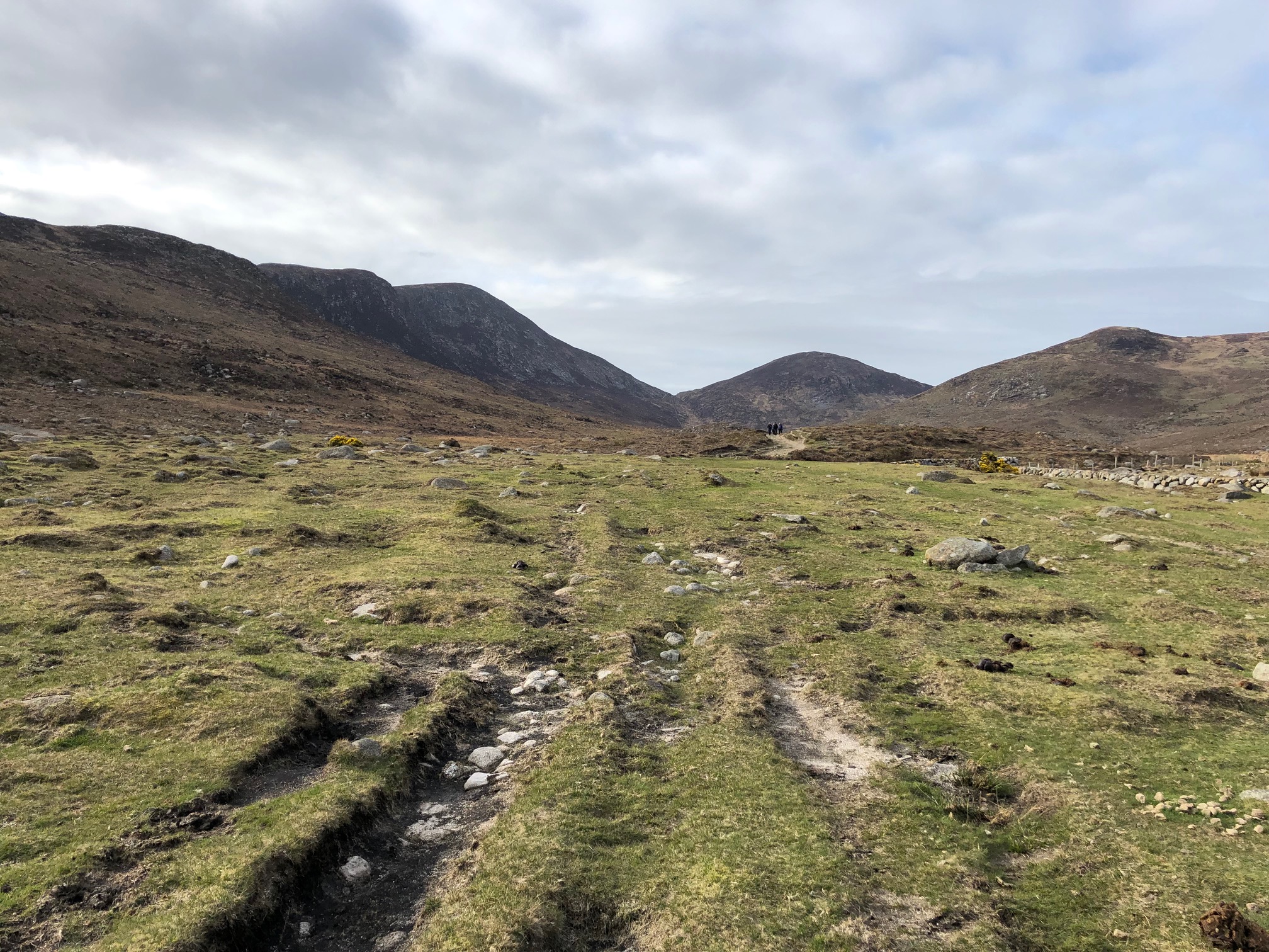
After checking I had everything I needed in my backpack, I headed on out the Sandy Brae, crossing the river just after the farm yard and following the track until I came to the kissing gate (that’s you out on to the open heathland at this point – you are following a quarry track which will take you up to the bottom of Slieve Moughanmore).
After about 1/2 a mile or so, you will notice a track on your right – this is the start of the ascent up Eagle. The path winds up the side of Eagle for about another 1/2 mile or so before you make it up onto the ridge which will take you to the top of Eagle. Take care walking up this as on your right hand side is a cliff face the whole way to the summit.
After another 10 minutes or so you will reach the Great Gulley, Eagle’s very own Devil’s Coachroad. It’s a great place to stop for a cuppa and a bite to eat. On a good day the views out on to the High Mournes are spectacular, especially onto Binnian.
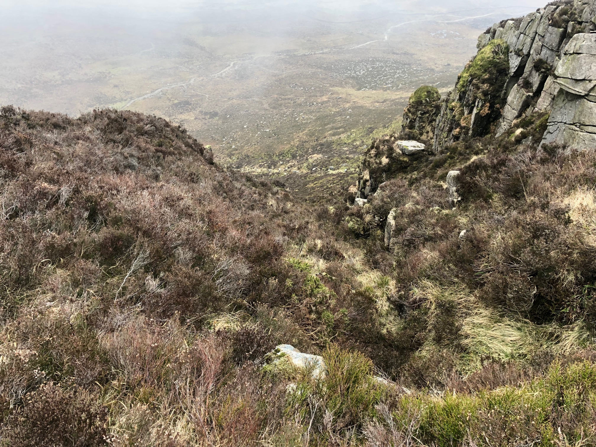
From here the trail becomes more of a sheep track, and it meanders for about a mile or so to the summit of Eagle. On a better day the views a amazing – you can see into the High Mournes, Belfast Hills, and the Cooleys and Carlingford Lough. Unfortunately, today the clouds was really low so there wasn’t much to see.
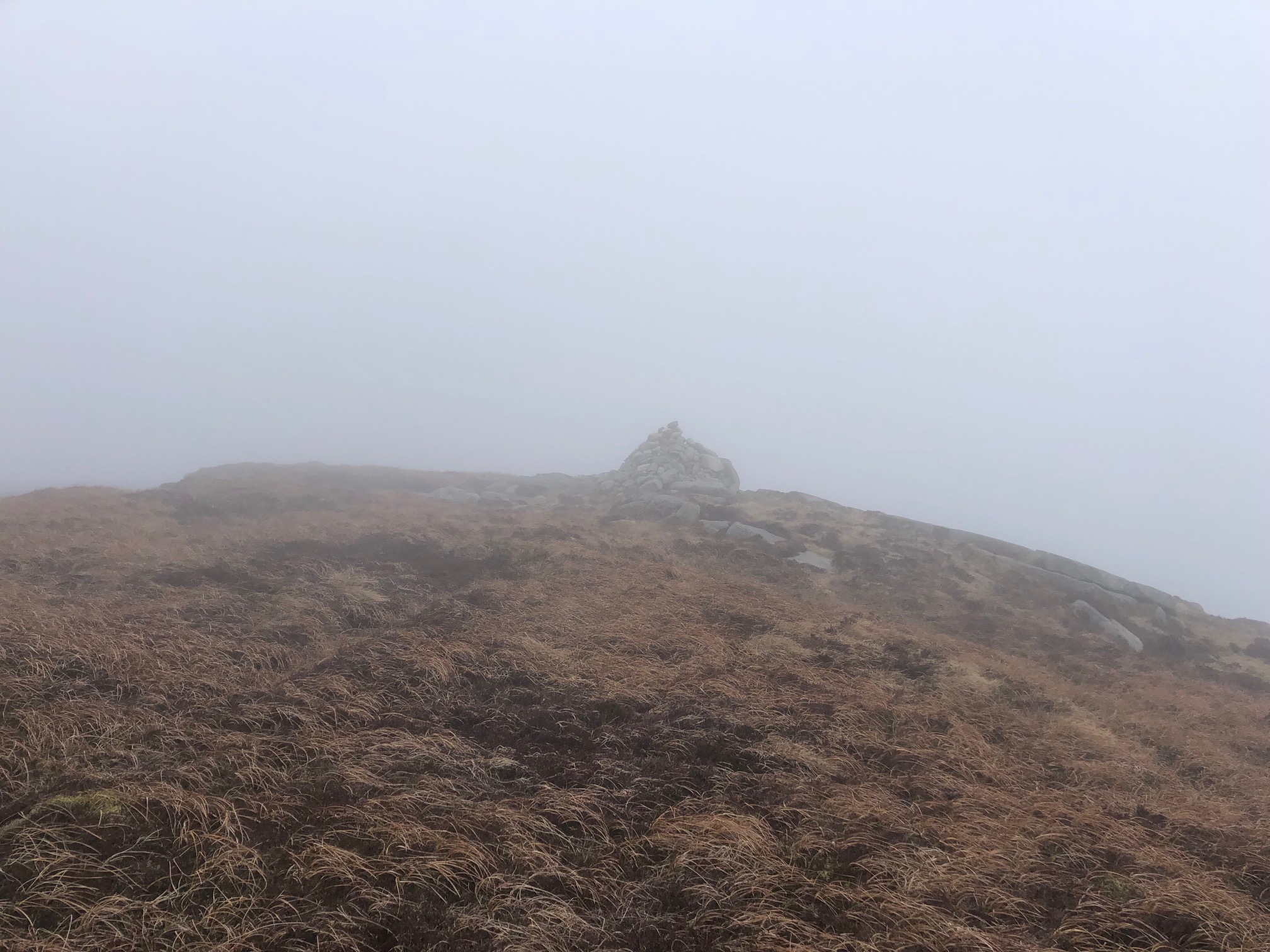
Heading on past the Summit Cairn you will soon reach Batts Wall, which signals the start of the descent down Eagle. You will see the stile, and should head to the right following the wall down to the Windy Gap. The descent is not unlike Bearnagh down to Meelmore, very rocky and really steep in places, but if you follow the wall you will reach Windy Gap in about 20 minutes.
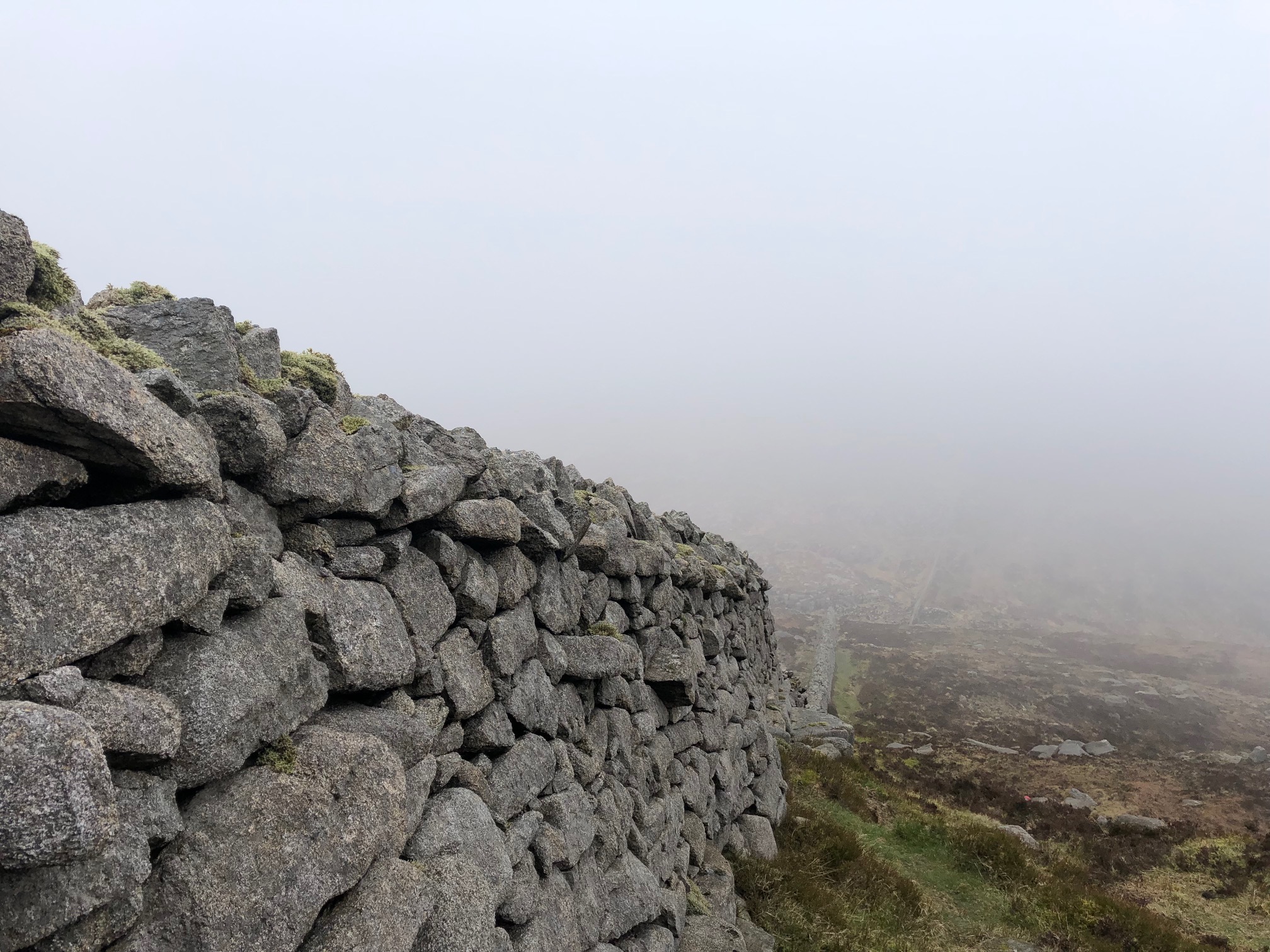
So now that you’re at Windy Gap, you have a couple of options: head back to the start or, if you fancy it, head up Slieve Moughanmore. Today I chose the latter and started the ascent up Moughanmore. If you are heading back to the start, don’t cross the stile – just follow the wall back and you will pick up the quarry track again. If you head up Moughanmore, go across the stile and for the first 20 metres or so you will have to cross a boggy area, but after this it’s a 20-minute climb to the top.
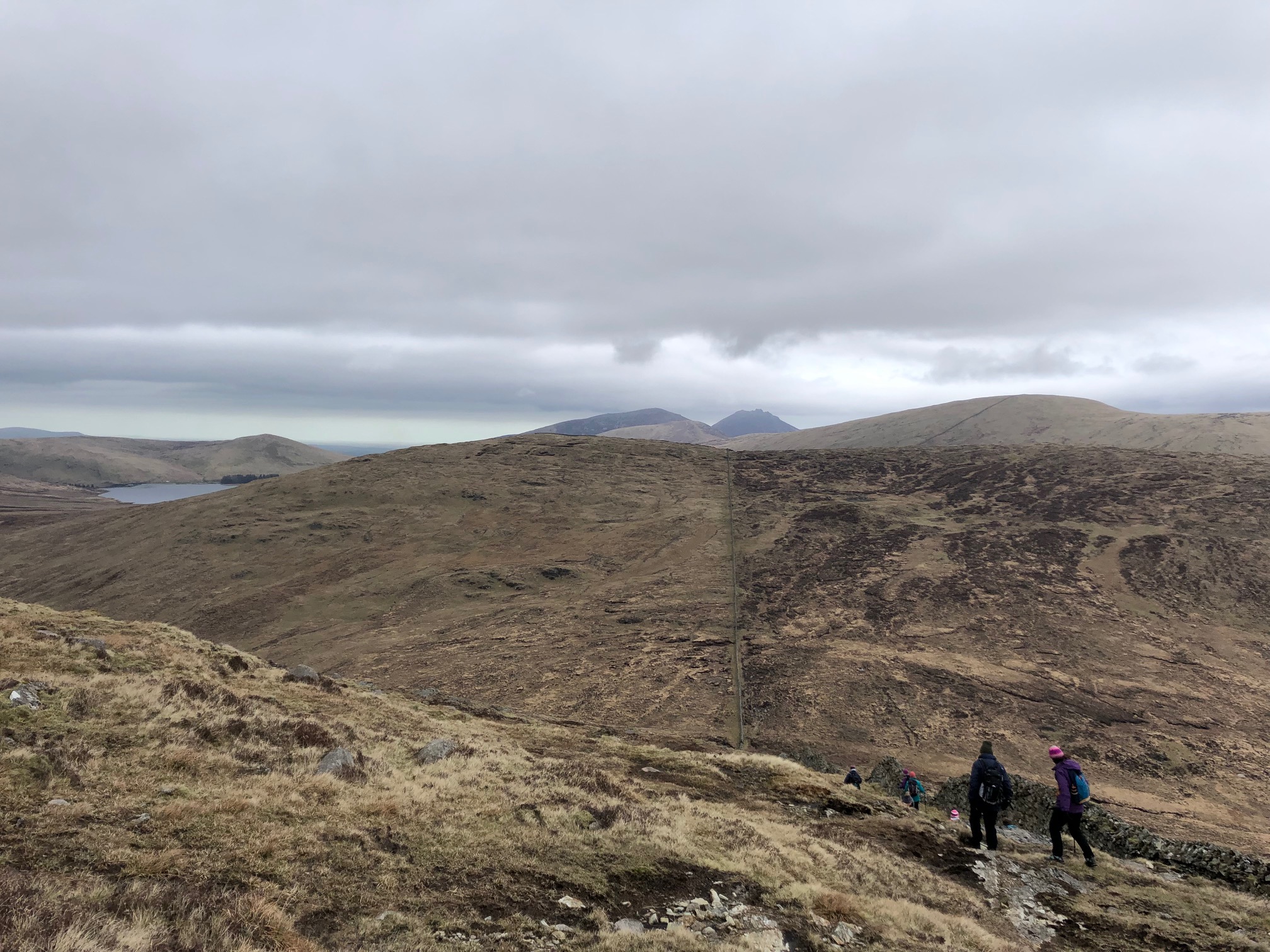
Heading back down Moughanmore you will reach a stile which is the start of the ascent up Pigeon Rock. Cross the stile and follow the Windy Gap river on your right, which will after about a mile or so take you back onto the quarry track. From here, you have about 2 miles back to the farm yard and some great views up to the Eagle cliff faces and back onto the Windy Gap.
Distance: 7.5 miles
Ascent: 850 metres
Time: 4.5 hours
 Belfast,Photography
5 scenic walks around Lisburn
 Mourne Mountains
Bearnagh: Chased the sunset, caught the rain
 Mourne Mountains
Camping in the High Mournes
 Fermanagh and Tyrone
Cuilcagh: Stairway to Heaven
 Features
Every Game of Thrones Location in Northern Ireland
 Mourne Mountains
Hen and Cock Mountains
 Mourne Mountains
Leganabrachan, Millstone and Thomas: Donard’s Seaside Bodyguards
 Mourne Mountains
Percy Bysshe and Cove Caves