Climbing Slieve Binnian from Carrick Little (for novice hikers)
Would you like to sponsor this article?

Having marvelled at the majesty of Eagle Mountain from neighbouring Slievemoughanmore and admired its sheer cliffs from the Windy Gap river valley, I had promised myself a trek to its summit. To add a bit of a challenge, I intended to return to my starting point via Shanlieve and Finlieve, two peaks that I had yet to experience. As an inveterate loner when it comes to mountain walking, choosing the Easter holidays for a Mournes excursion may seem a strange option. However, I hoped to avoid the crowds as the western Mournes seem to be less attractive to the masses than their more glamorous eastern counterparts. On arrival at my starting point, Attical GAA Club, I was relieved to find I had the extensive car park all to myself.
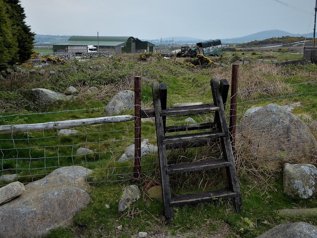
I turned left from the car park and, after a few metres, left again up Sandy Brae. About 1.8km up the Brae, I passed through a gate on the left opposite some farm buildings and just before a ford over the Red Moss River. I walked a few metres beside the left bank of the river until some well positioned boulders helped me across to the far bank. A few more steps took me to a stile.
READ: Slievenaslat: A Lovely Walk in Castlewellan Forest Park
After crossing the stile, I headed in an upward, north-westerly direction along a path on the right bank of the Aughnaleck River.
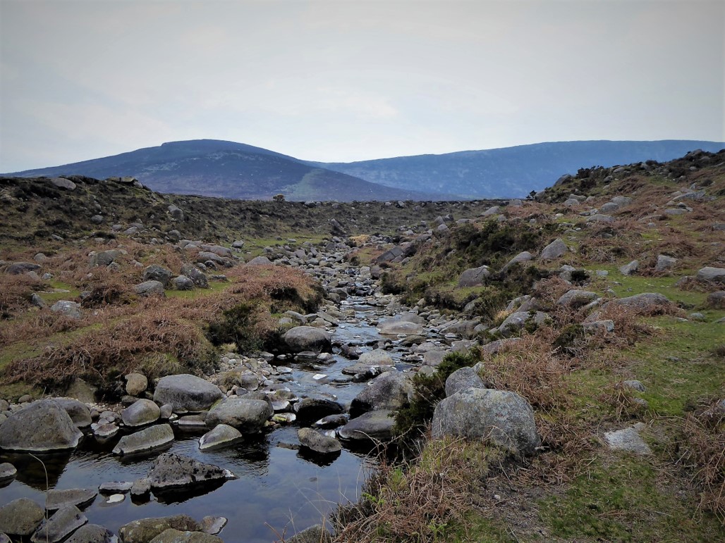
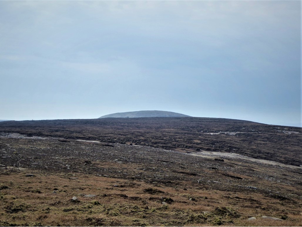
About 600m further, I crossed the river and continued to a point where the path divided (Grid Ref 254209). I took the right hand fork, which the map indicated would lead to the cliff line on the southern slopes of Eagle Mountain.
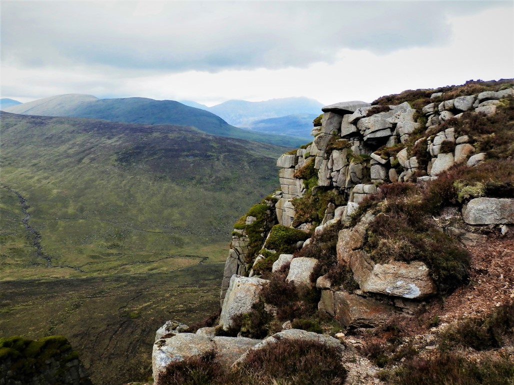
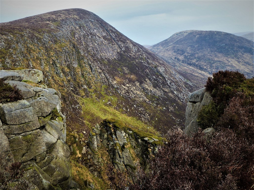
The track soon crossed a small stream before passing through the Aughnaleck River which at this point was barely more than a trickle. Before long the path reached a point where it led in a direction roughly parallel to the impressive cliff line, offering several superb vantage points from which to ponder the striking rock formations, with the Great Gully a spectacular highlight.
It was easy to imagine a time when eagles would have made their home here – the name Eagle Mountain is a reminder that in the mid nineteenth century both Golden and White-tailed eagles were breeding in the Mournes.
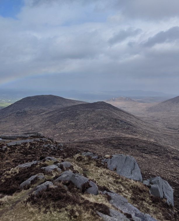
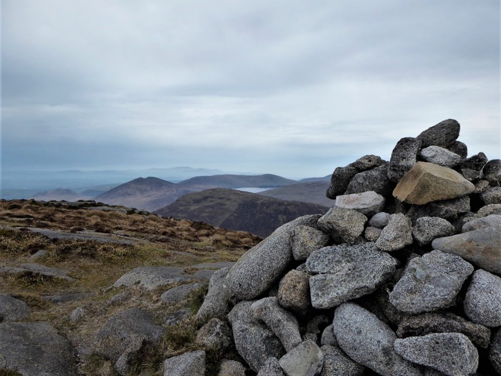
Two hours and 6.5km after beginning my walk I reached the 638m summit.
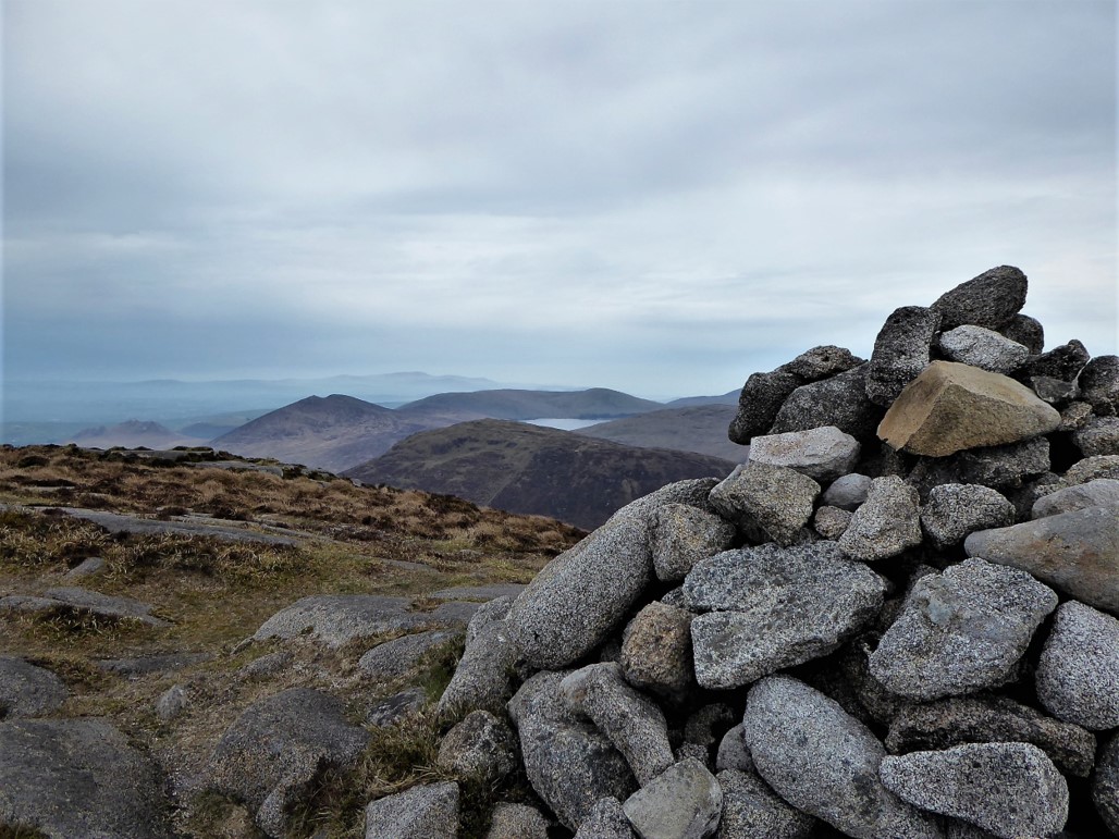
The views were among the best you’ll see anywhere in the Mournes range. I counted over 20 peaks visible on what was a day of only moderate visibility.
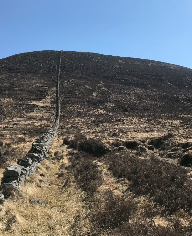
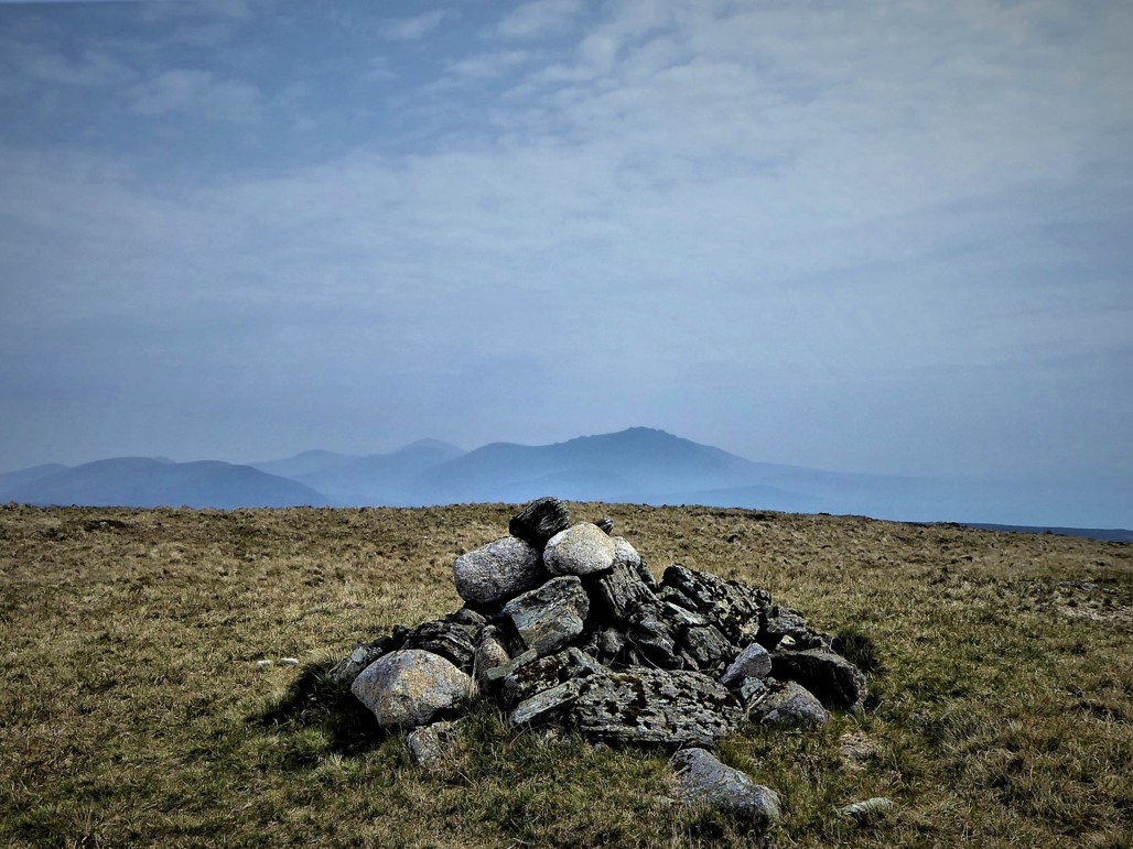
The small cairn on Shanlieve seemed quite close and, indeed, a gentle 15-minute hop with Batt’s Wall on my right took me to the 627m summit which, with Eagle Mountain (638m), is one of only two peaks of over 2000 feet in the western Mournes.
Next on the agenda was the 579m Finlieve whose rounded summit lay directly south.
The walk looked like a straightforward yomp, but, having sought out one or two of the very few route descriptions available for this part of the trek, I knew that the journey might not be as effortless as it appeared.
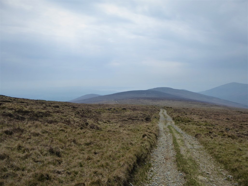
The walk started well with a gentle dander to a broad gap which was stony underfoot. Soon, however, the landscape transformed gradually into depleted bogland with soggy channels intersecting lifeless peat hags.
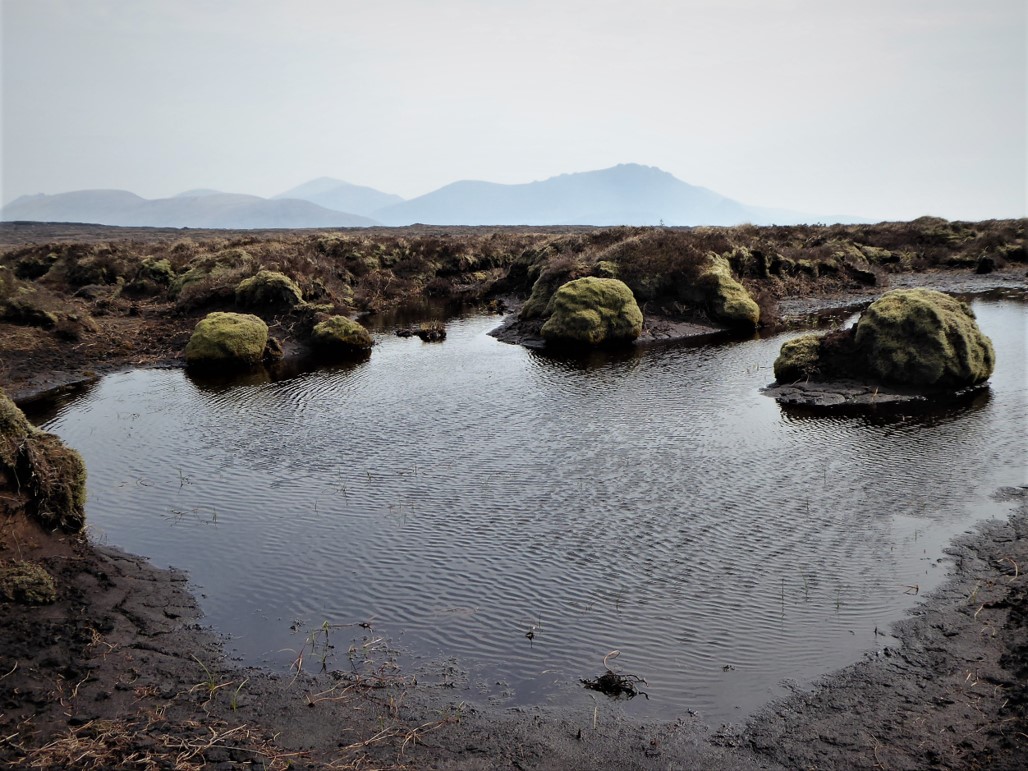
The cheerless atmosphere was compounded by the disappearance from view of Finlieve’s summit.
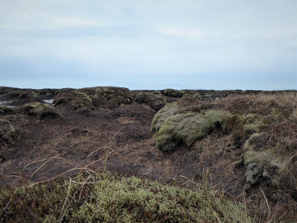
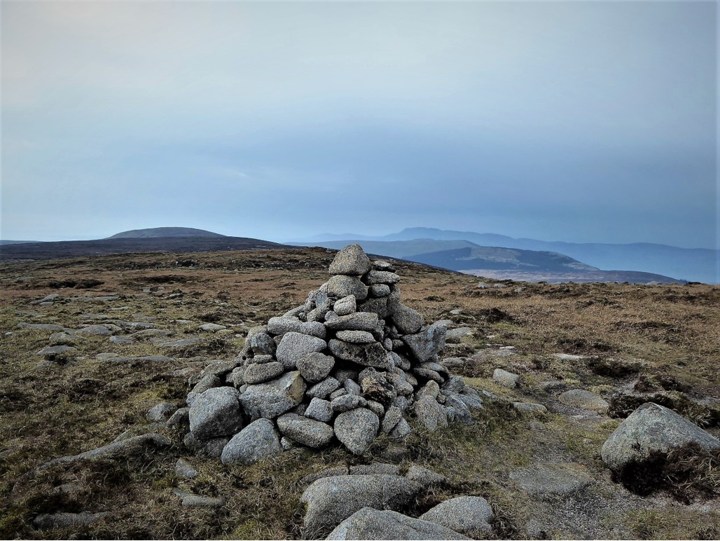
I was thankful that the weather was improving, as negotiating the terrain in poor visibility would have been very challenging. My mood was lifted by the hectic chattering of skylarks and the company of several busy meadow pipits as the dystopian landscape eventually gave way to the grassy approach to the small cairn that marked the summit of Finlieve.
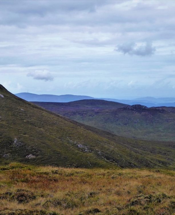
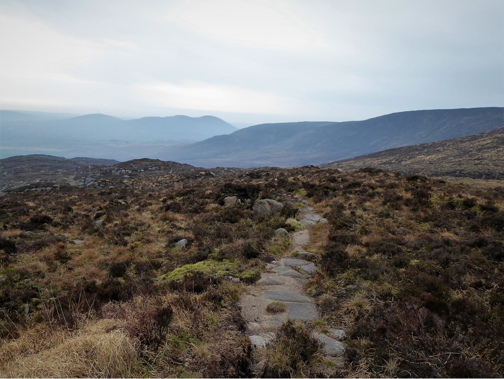
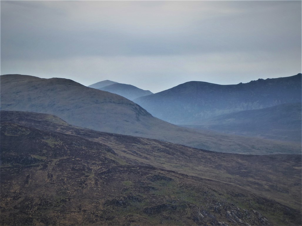
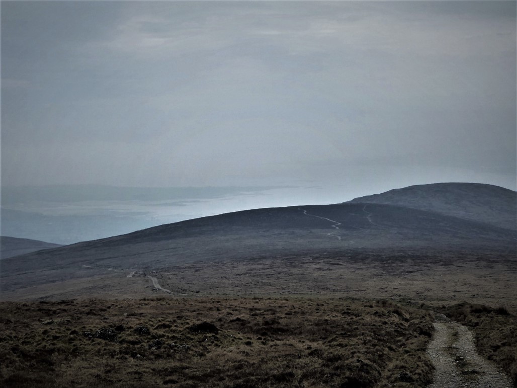
The 2km walk from Shanlieve had taken about 50 minutes. From the summit, I could make out a clear track to the south-east. Once reached, it was mainly downhill progress for about 4km through the desolate, but beautiful, landscape.
The weather had closed in a little but it was just possible to make out Carlingford Lough in the distance.
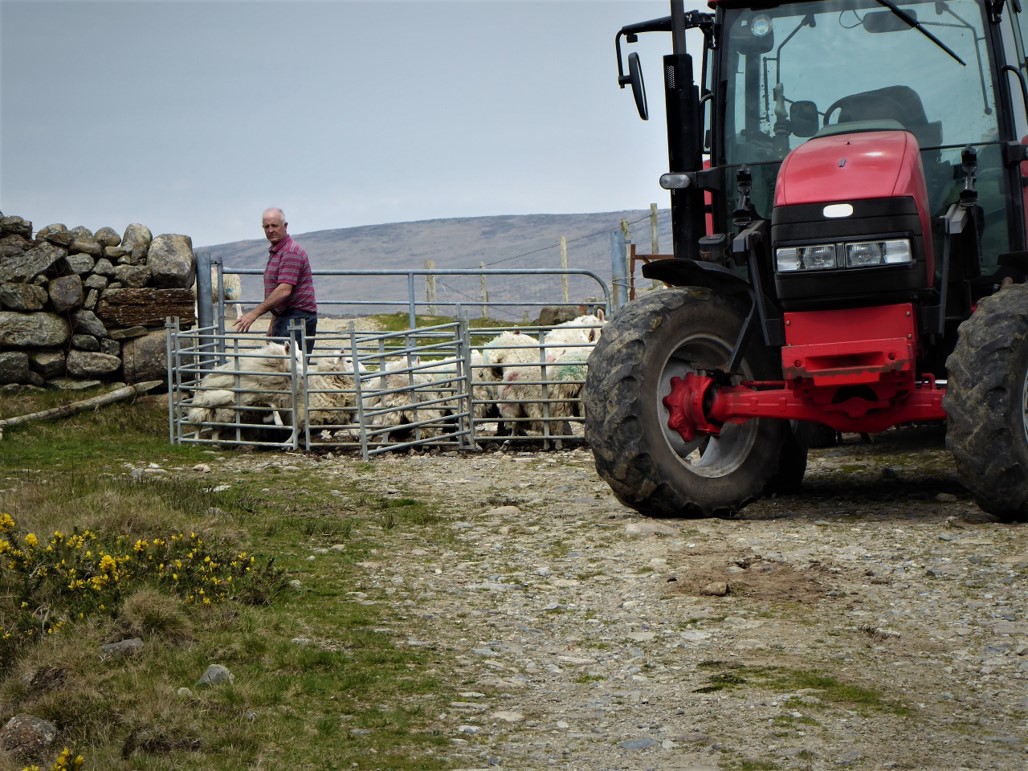
I followed the track through a gate after a short delay while some of the local sheep were rounded up – a reminder that the Mournes are a workplace as well as a walker’s paradise.
The track soon narrowed and petered out as it reached a narrow tarmacked road which the map told me was Glenloughan Road. Turning left onto the road I walked for about a kilometre enjoying the view of the heavily wooded slopes of Knockchree.
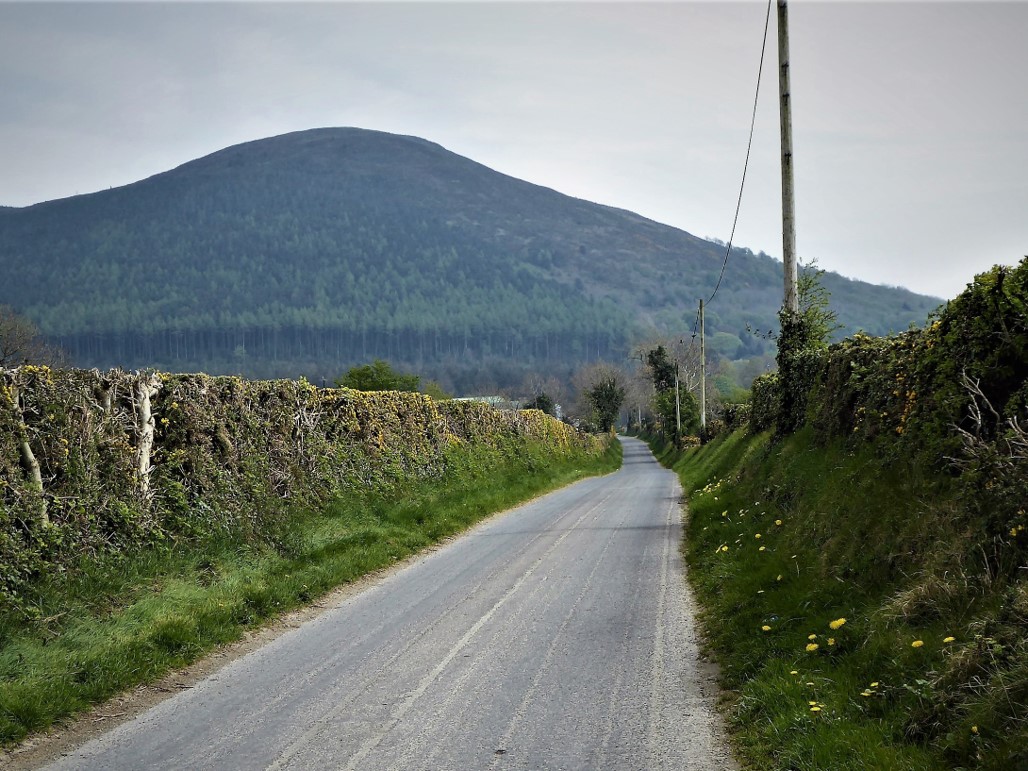
At the junction with the busier Tullyframe Road, I turned left and, after a walk of about 2km, reached Attical GAA club where my car remained in splendid isolation.
Regrettably, on the way home I noticed large numbers of cars parked inconsiderately on the narrow country roads adjacent to the overflowing car parks at most of the popular access points – a practice that will surely not endear walkers to those for whom the Mournes are a workplace.
23 April 2019
Really only feasible by car unless the Mourne Rambler is running (usually July and August, check www.translink.co.uk). If approaching from the north, head for Spelga Dam and continue on the B27 for about 9½ km until you reach a right turn for Attical. Go straight through Attical onto Tullyframe Road for about 1km until you reach Attical GAA Club on your right. If coming from the south, head for Kilkeel, take the B27 and look out for the signs for Attical.
17.5km (11 miles)
5 hours
Temp 6˚C – 13˚C; hazy sunshine, slight breeze, one heavy shower mid-morning. Reasonable, but variable, visibility.
… you prefer your own company on a trek. Although the walk took place during the Easter holidays and most of the popular Mournes access points were choc-a-bloc with cars, I didn’t meet any other walkers. If you enjoy panoramic views, Eagle Mountain ranks as one of the top spots in Northern Ireland, with its breathtaking cliff scenery adding another dimension.
This is a moderately strenuous trek but average fitness levels should suffice. However, it would be advisable to have a couple of easier Mourne treks under your belt before giving this one a go. As with all Mourne walks, map, compass, sensible clothing and footwear are essential but if you intend including Shanlieve and Finlieve, good navigational knowledge and the ability to take a compass bearing would be a distinct advantage. Under no circumstances should you undertake this section of the trek if visibility is poor, unless you have experience of navigating in adverse conditions.
Derek is a regular contributor to Trek NI – you can follow him on Twitter.

Derek, 76, spent 35 years working in national, academic and public libraries, followed by 14 years in the wine trade. He only began serious walking in his 60s, although he had previously travelled many miles on foot pursuing his favourite hobby of fishing. After retirement, he decided to give the fish a rest and bother the hills of Ireland and Britain instead. Derek regards walking as a simple pleasure to be enjoyed, not endured, and prefers a solo hike in quiet, remote surroundings.
 Belfast,Photography
5 scenic walks around Lisburn
 Mourne Mountains
Bearnagh: Chased the sunset, caught the rain
 Mourne Mountains
Camping in the High Mournes
 Fermanagh and Tyrone
Cuilcagh: Stairway to Heaven
 Features
Every Game of Thrones Location in Northern Ireland
 Mourne Mountains
Hen and Cock Mountains
 Mourne Mountains
Leganabrachan, Millstone and Thomas: Donard’s Seaside Bodyguards
 Mourne Mountains
Percy Bysshe and Cove Caves