Belmore Court: Your next best stay in the West

Would you like to sponsor this article?

A circular walk in the Dromara Hills over Slievenisky and Slieve Croob using public roads, mountain tracks and a permissive path.
Peter Morgan’s Cottage, Finnis, BT25 2EE.
Take care on Dree Hill, Drin Road and Finnis Road. All are usually quiet, but not traffic free. As slightly less than half the walk takes place on public roads, it would be unsuitable for large groups. Gaiters are recommended as Pass Loaning can be very boggy, especially near the source of the River Lagan. Weather conditions can change in the blink of an eye, so warm, weatherproof clothing, map and compass are essential kit. In misty or foggy conditions, only attempt Pass Loaning if you are experienced, confident and well-practised in navigation skills.
The walk covers some of the most scenic roads in County Down and crosses the rarely visited Slievenisky (“water mountain” from Irish Sliabh an Uisce) before arriving at Slieve Croob (“mountain of the hoof” from Irish Sliabh Crúibe), the highest of the Dromara Hills peaks at 534m. On the way back to Finnis, the Pass Loaning crosses the source of the River Lagan, its 86km making it the longest river in Northern Ireland. Expect expansive views throughout, with Slieve Croob’s summit delivering a magnificent panorama encompassing the Mourne Mountains, Lough Neagh, Strangford Lough, Sperrin Mountains, Antrim Hills and the Isle of Man. The road walking element of the trip can be curtailed by about 6km by using a two car strategy, parking one in Finnis and the other near Slievenisky. Because the area is grazed heavily by sheep, dogs are not permitted.
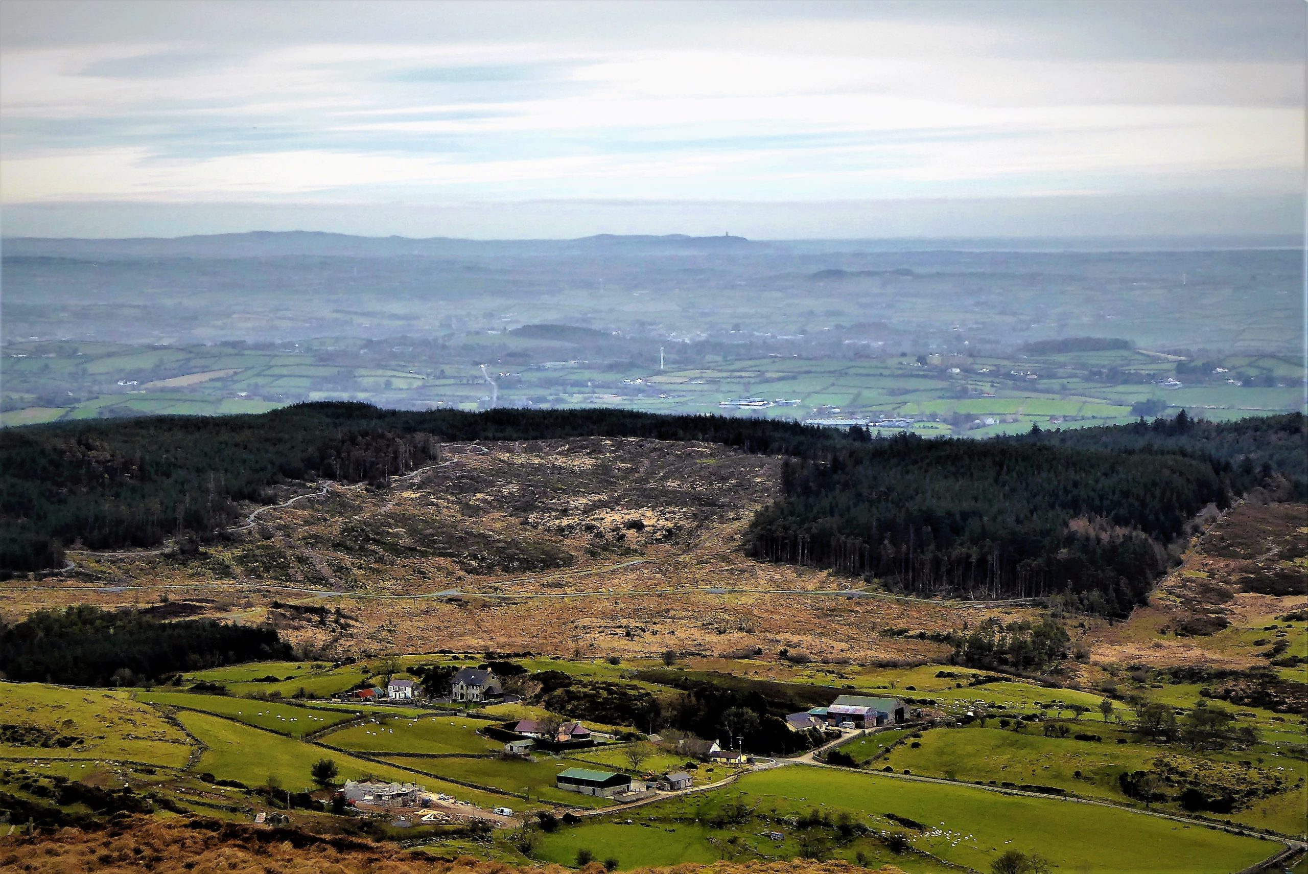
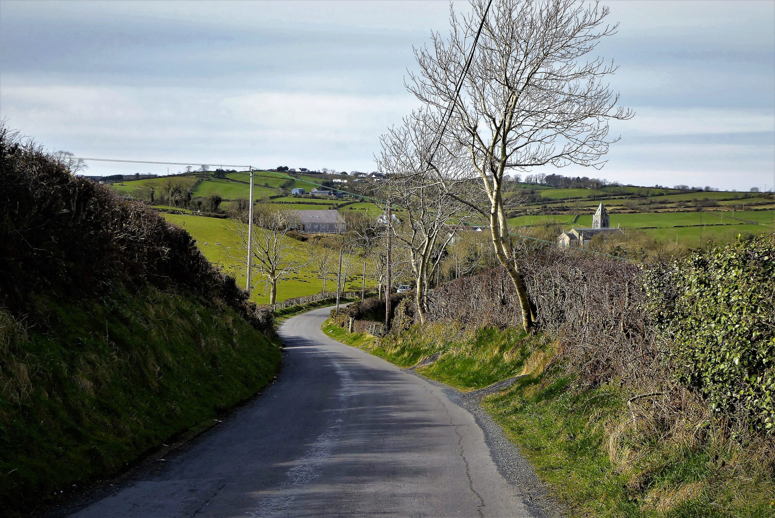
From the car park, turn left onto Dree Hill and begin the upward journey passing a small group of houses on your left. The countryside soon opens out on both sides of the road as it skirts occasional farmhouses and rough fields that accommodate numerous sheep. As the road gains height, the fields become progressively rocky, taking on a desolate aspect as they merge with the foothills of Slieve Croob. The juvenile River Lagan makes twisting progress through the slopes of Slieve Croob towards Belfast, whose hills should be visible to the north-east if visibility permits.

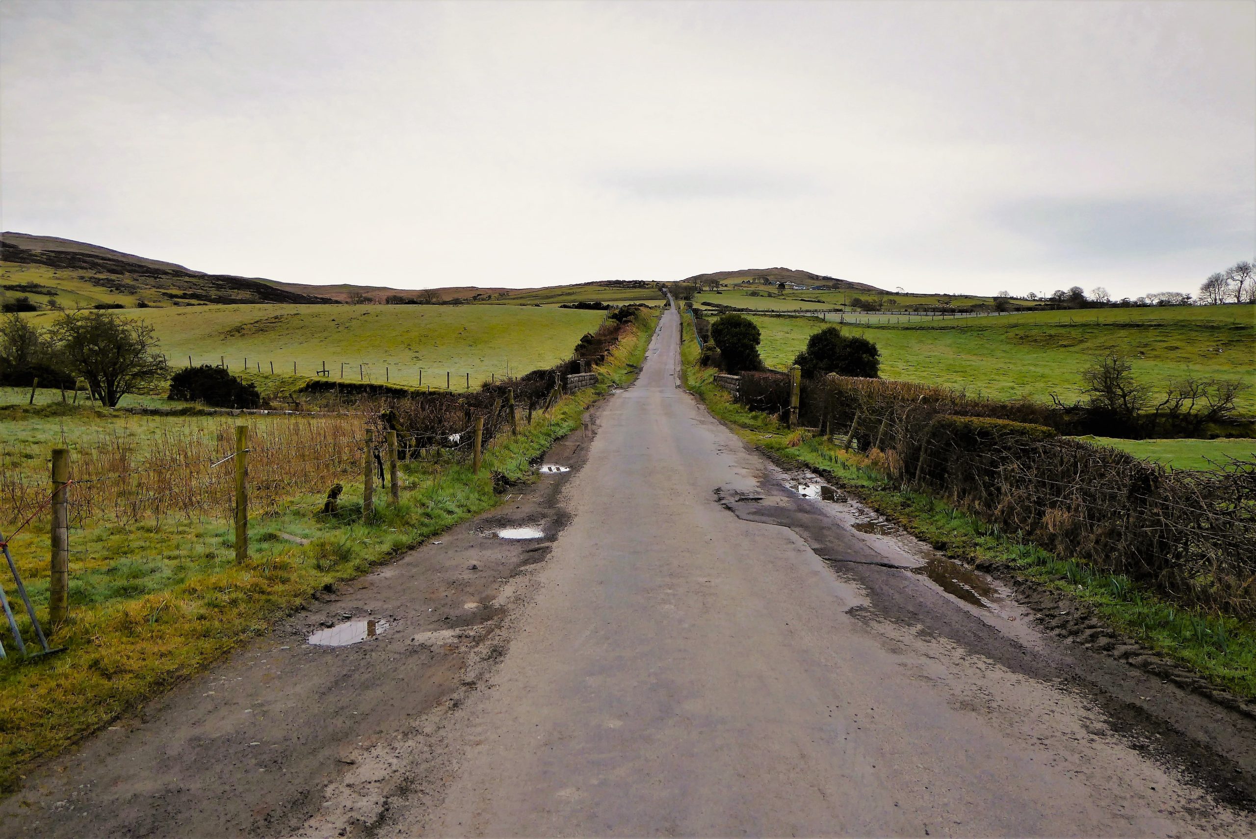
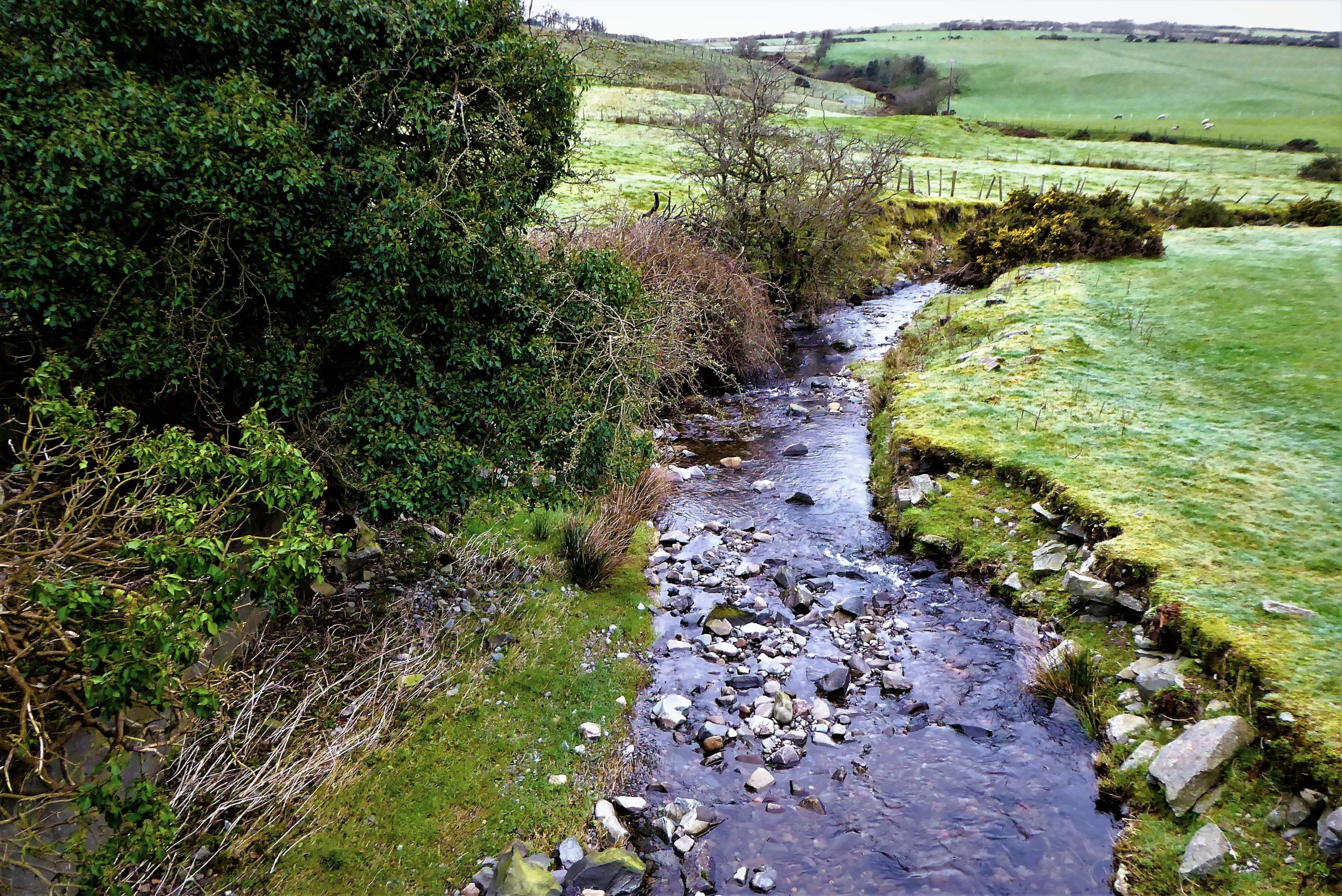
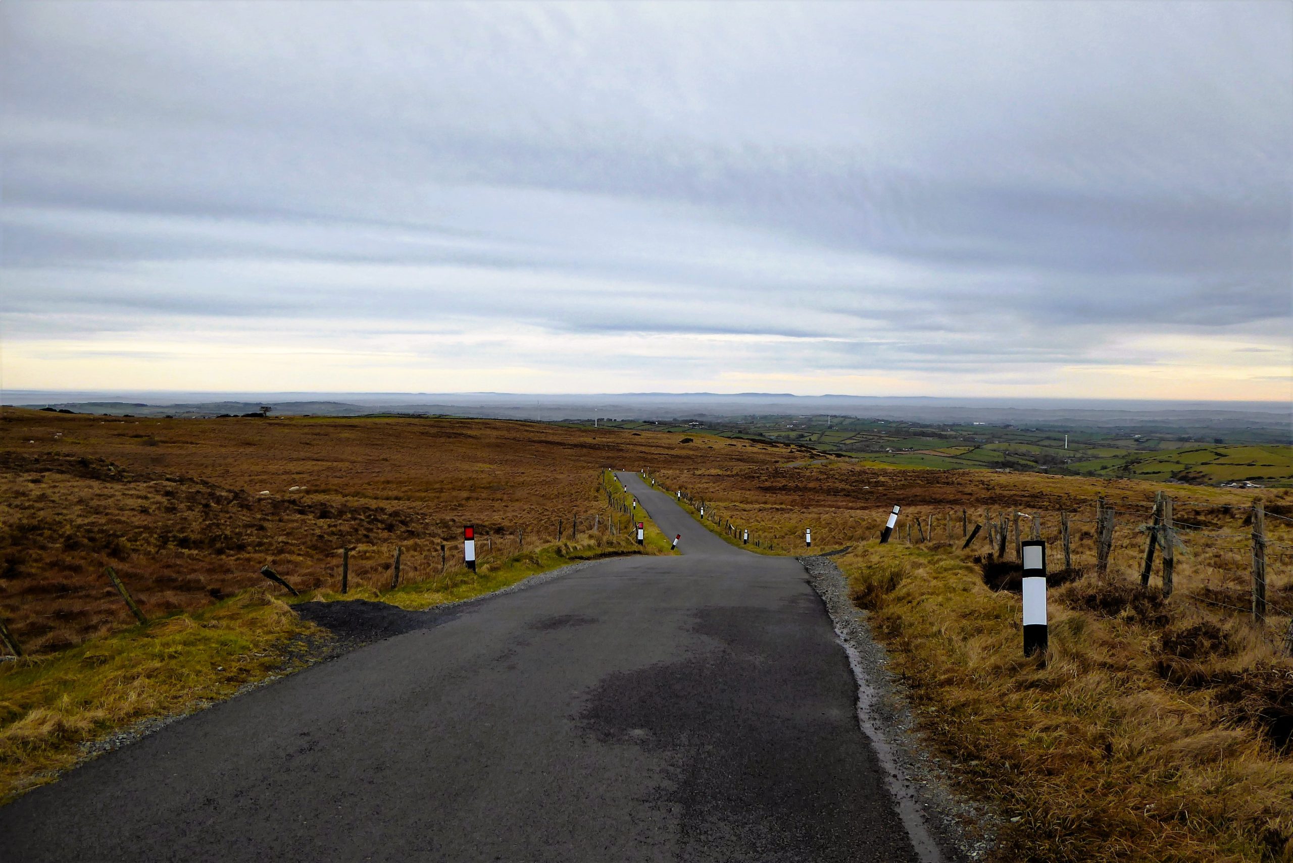

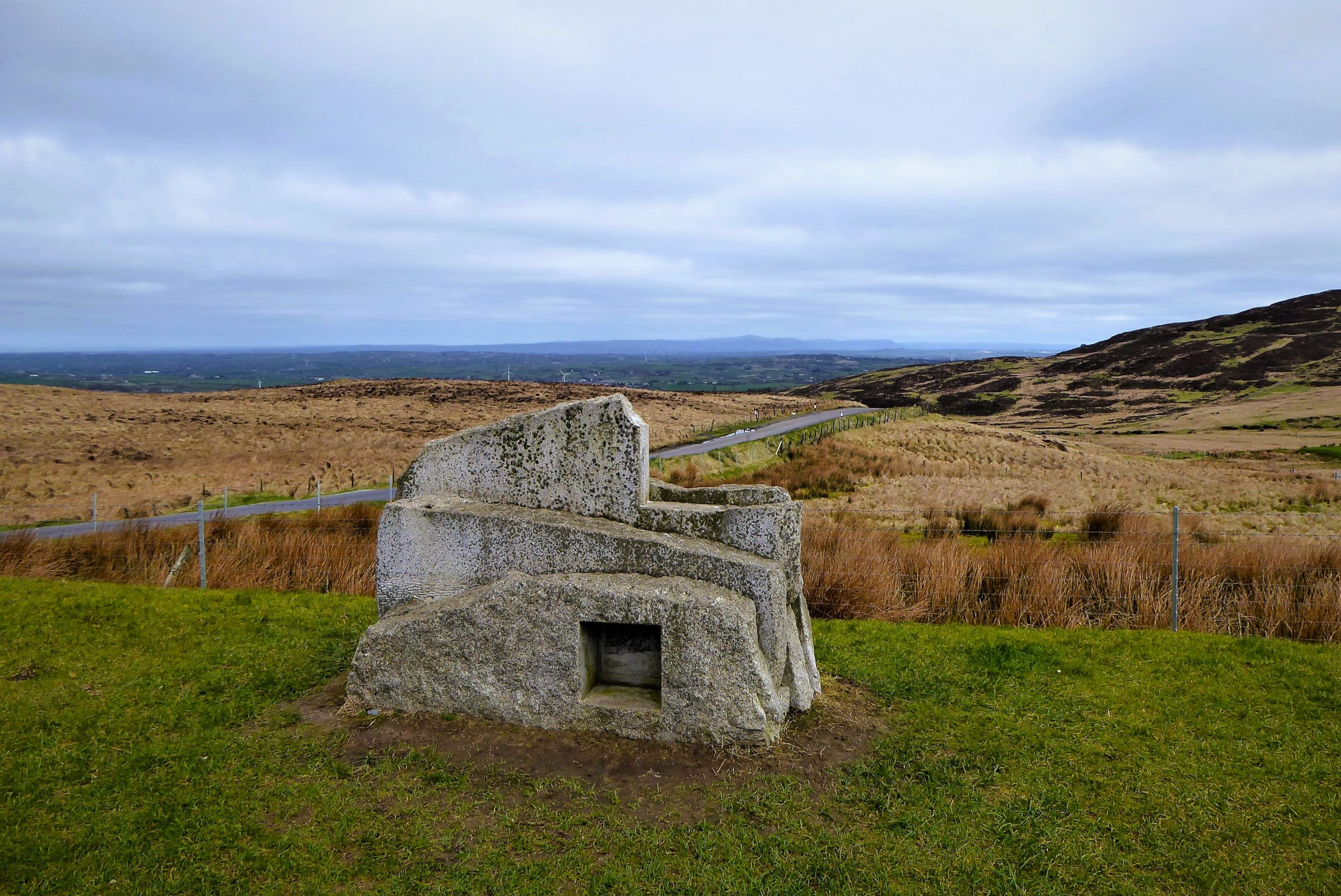
After a mostly uphill walk of 3.2km, the car park at the foot of the transmitter road to Slieve Croob provides a rest opportunity with excellent views and a chance to examine the sculpture created by local artist Chris Wilson entitled Source of the River Lagan. The installation is composed of granite slabs assembled vertically to suggest a framed landscape, like a postcard, with recessed etched plates depicting aspects of local heritage in the form of Legananny Dolmen and the festival of Lughnasa.
Back on Dree Hill, the road continues uphill for a few metres as the distant Mourne Mountains make their first appearance. The road soon levels off and drops down to meet Finnis Road. Turn left and continue on Finnis Road. The eastern slopes of Cratlieve line the right hand side of the road, while, to the left, the rugged foothills of Slieve Croob undulate towards the road in a patchwork of sheep fields intersected by mountain streams. At its junction with Kilnhill Road, Finnis Road seamlessly becomes Clonvaraghan Road. A glance down Kilnhill Road reveals a classic vista of the High Mournes, while, straight ahead, the Irish Sea should be visible in the distance.
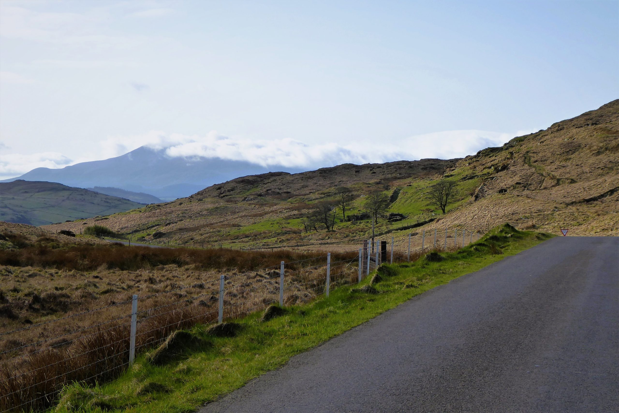

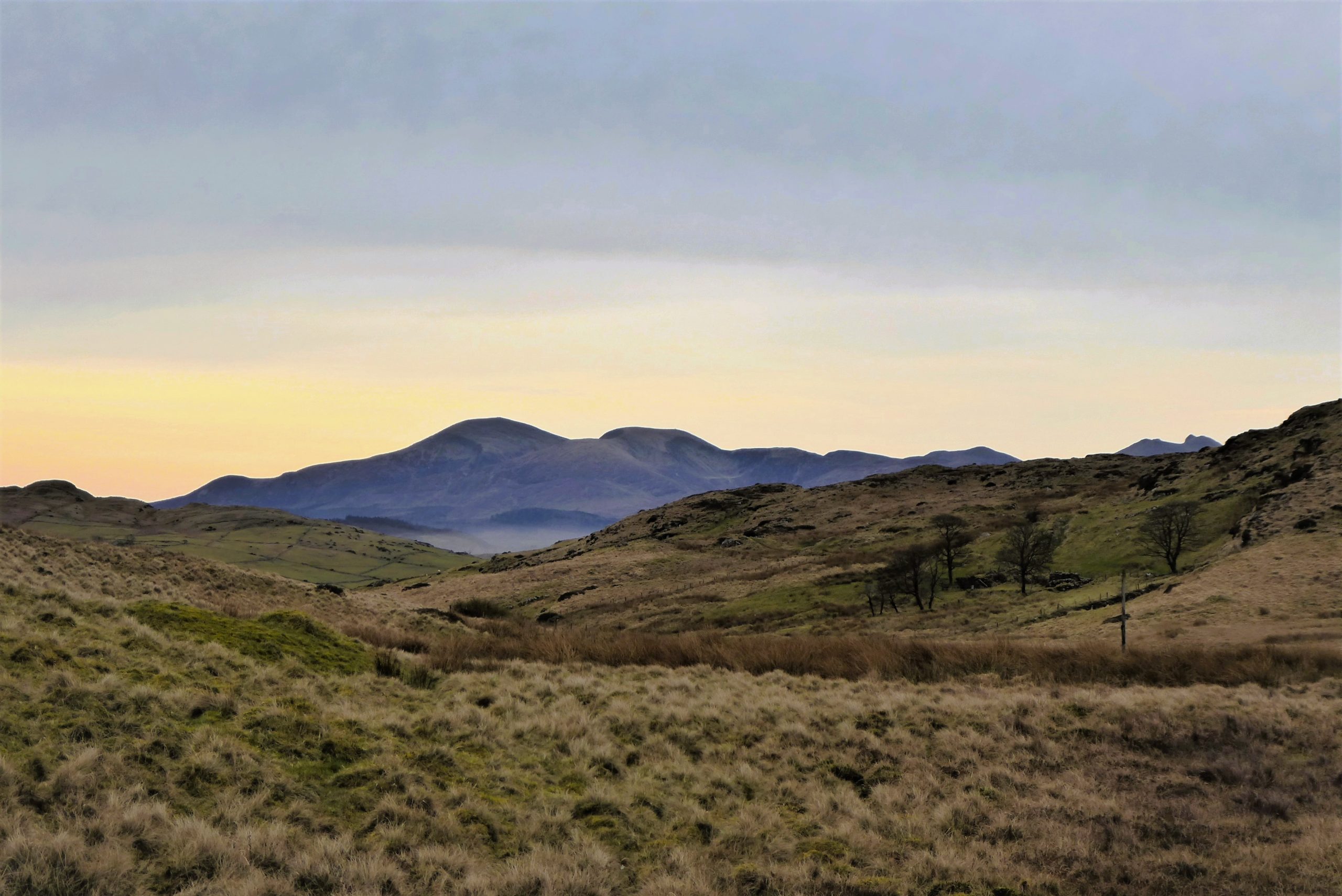

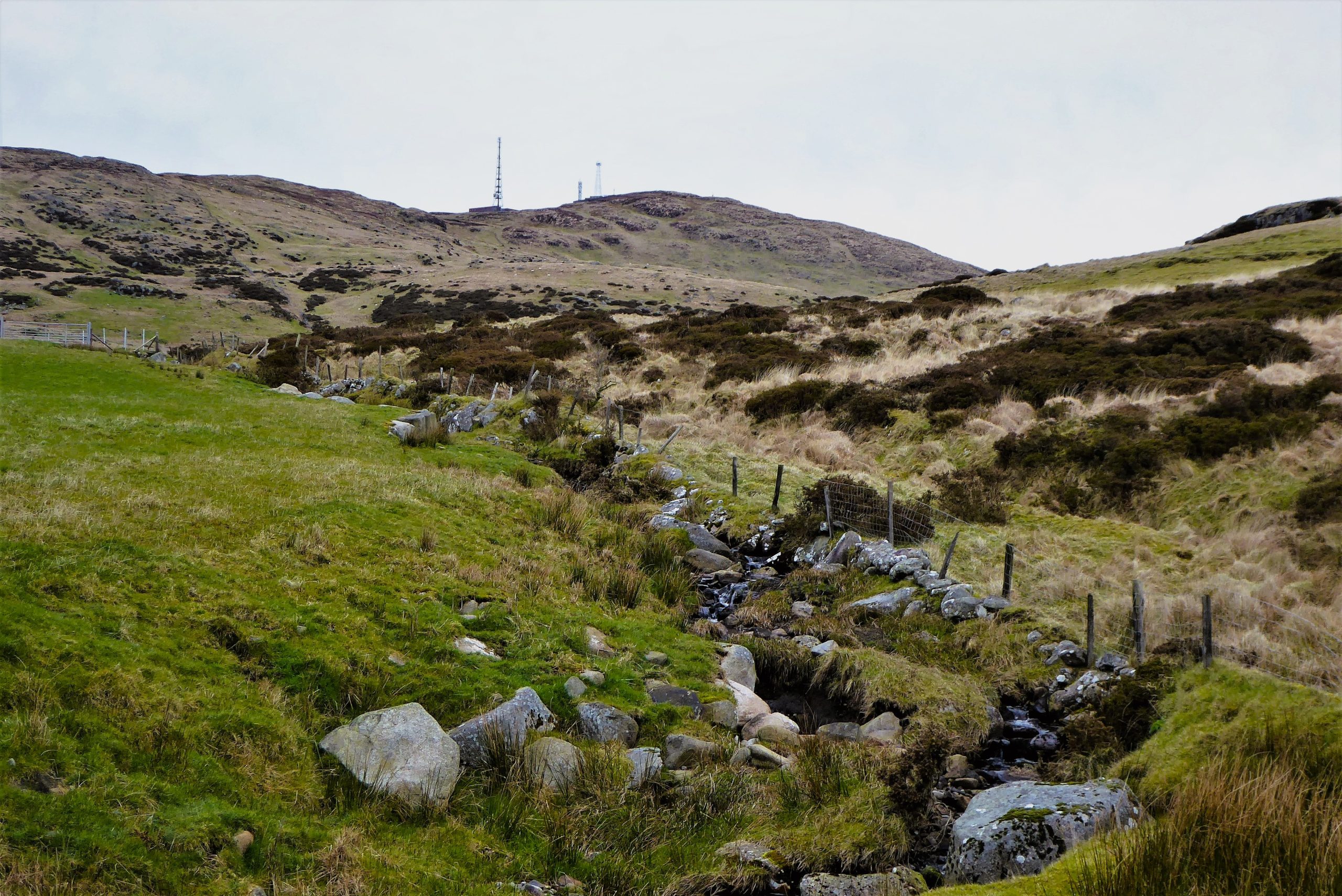
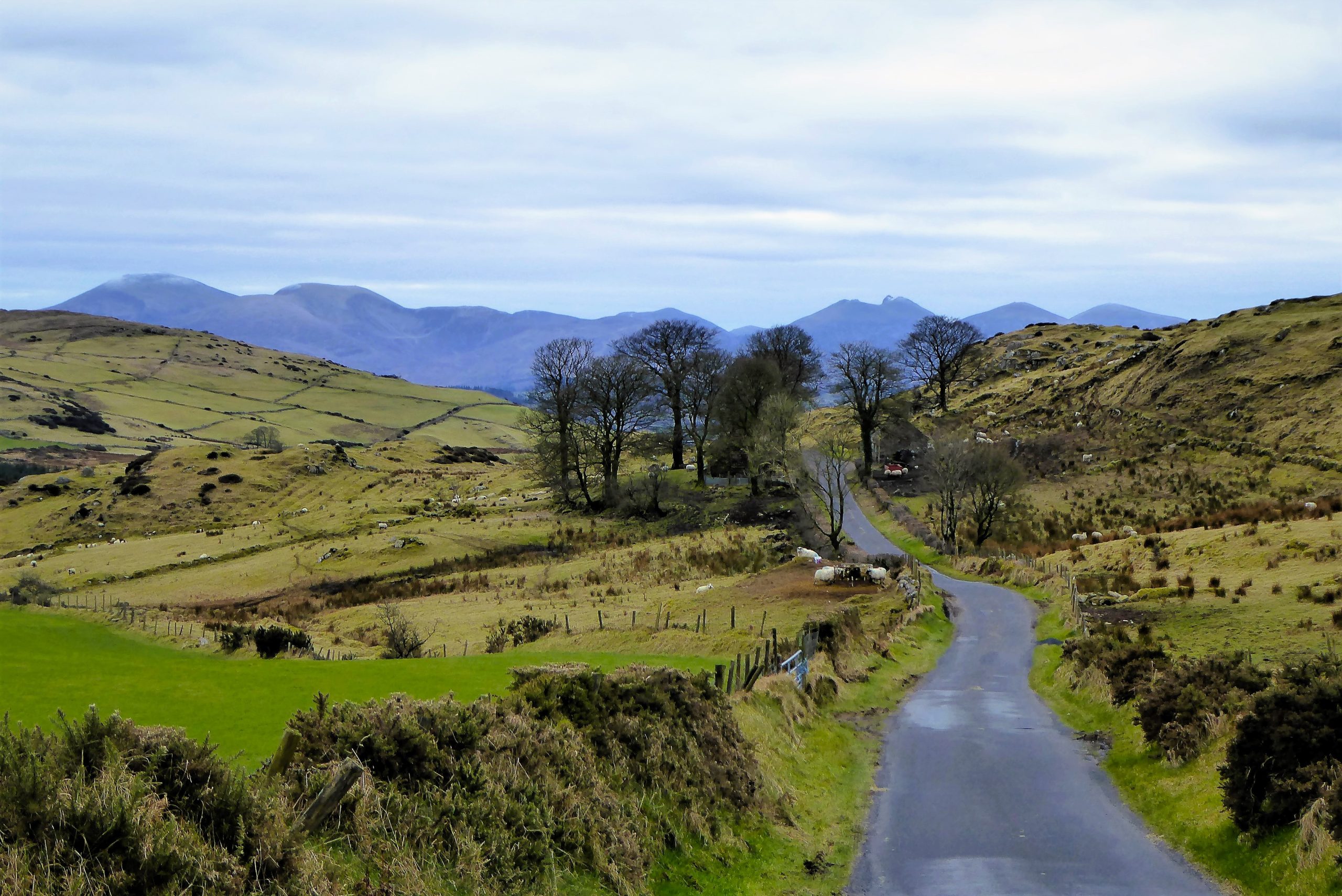
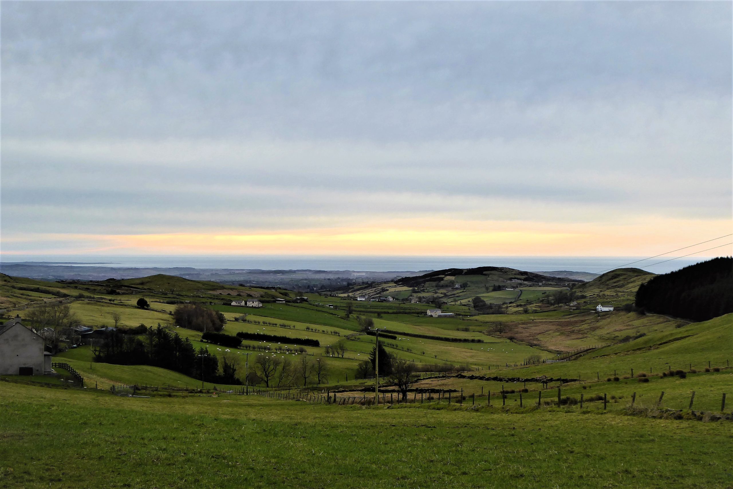
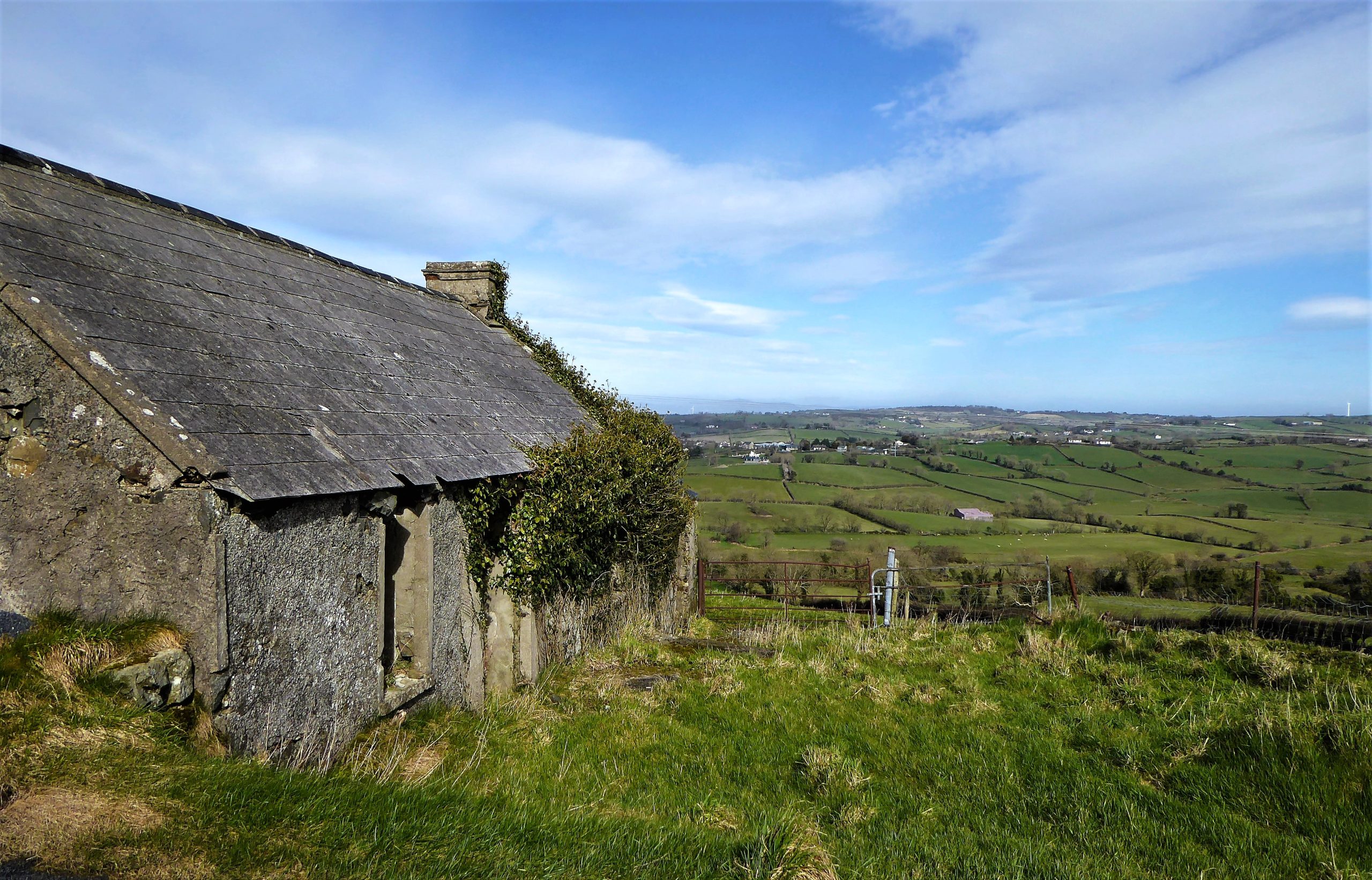
After a further 2.5km of effortless, scenic walking, passing scattered modern farmhouses that rub shoulders with abandoned dwellings, an access point to Slievenisky is reached. Shortly after the road begins to travel downhill, it passes two houses on the right and two on the left. Just after the houses, look out for a wooden gate on the left just beyond a bridge over a stream (Grid Ref IG J 319436).
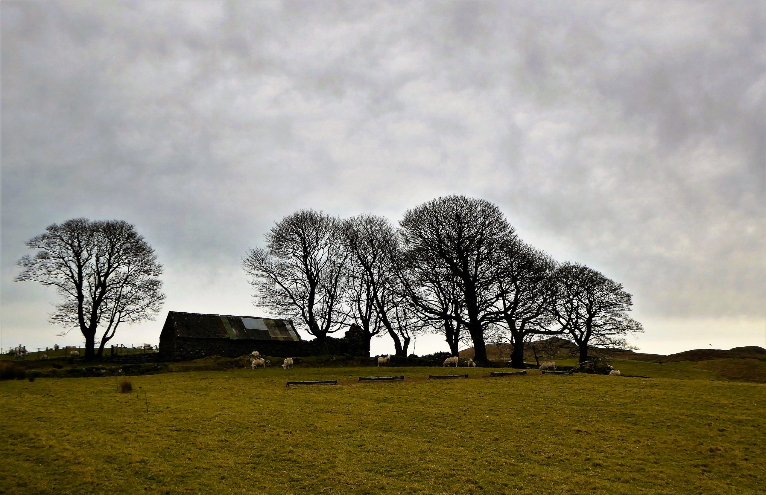
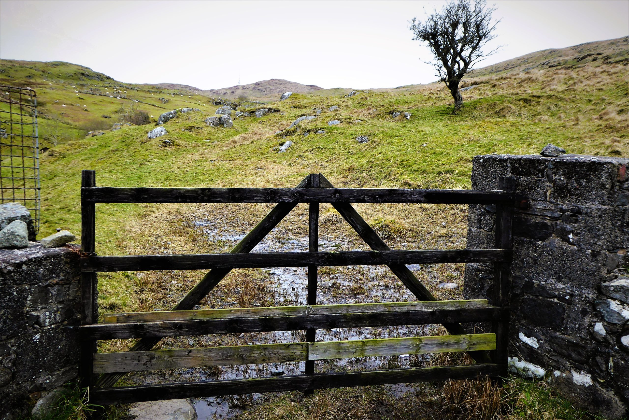
Pass through the gate and follow faint vehicle tracks, keeping quite close to the stream for about 300m to reach a second gate. Don’t be surprised if you attract an entourage of sheep – the Dromara Hills breed are a nosey lot who have forgotten that sheep are timorous beasties.
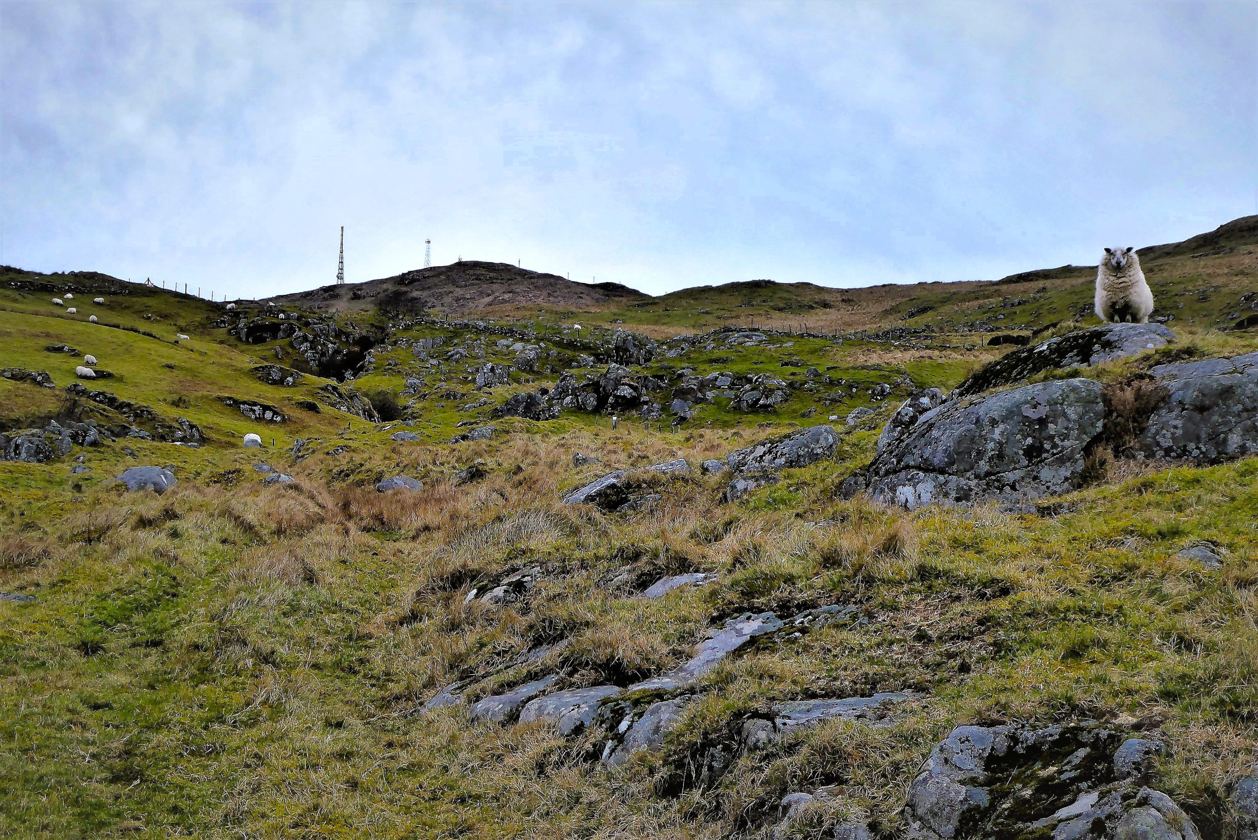
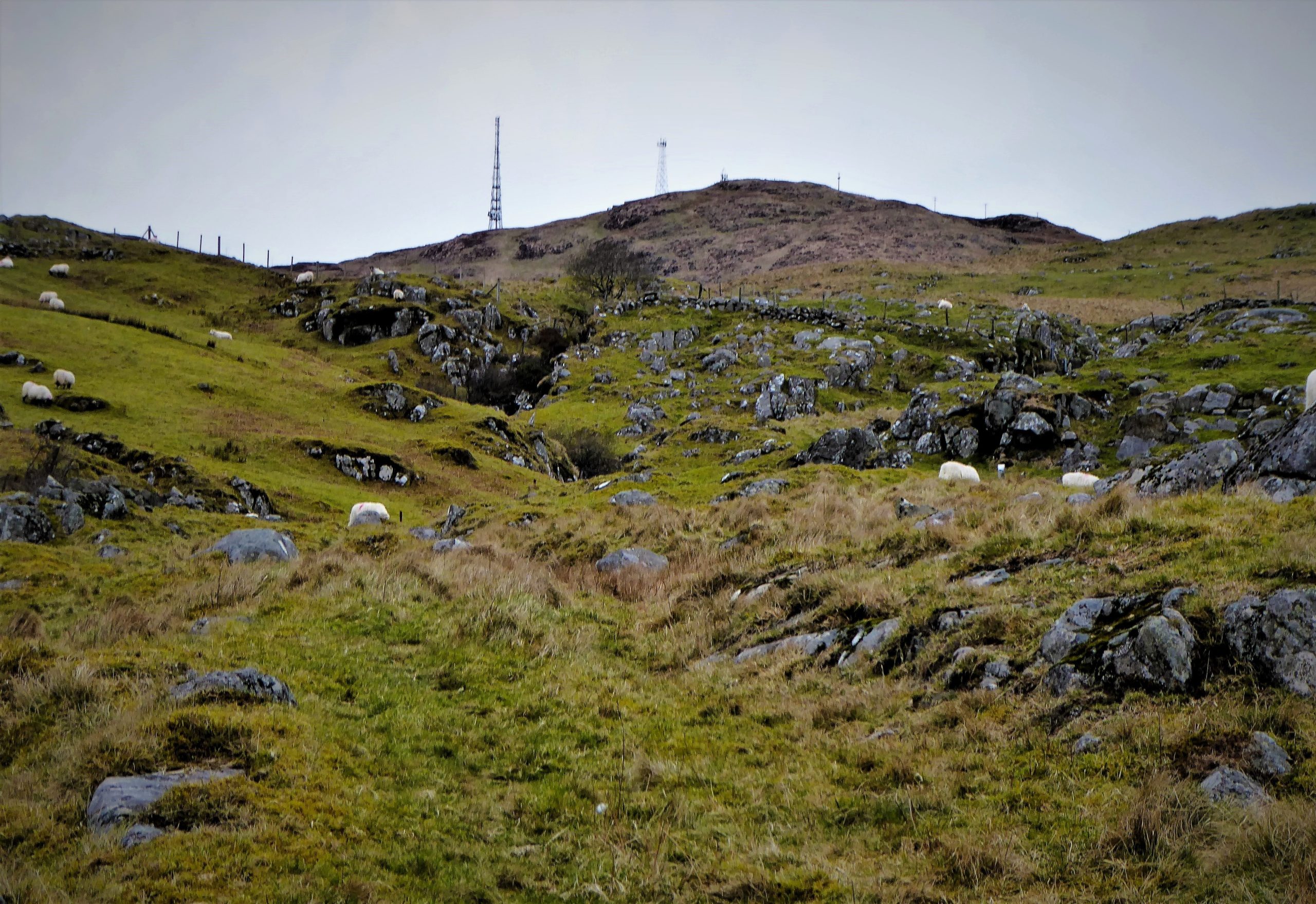
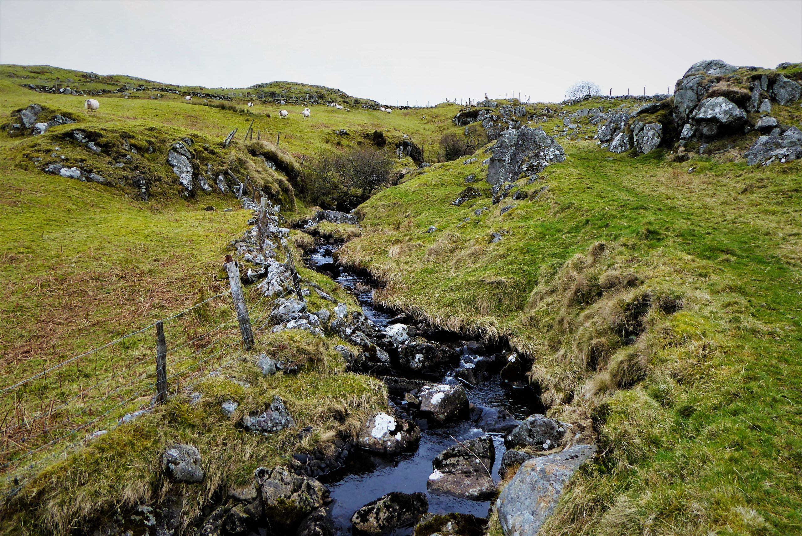
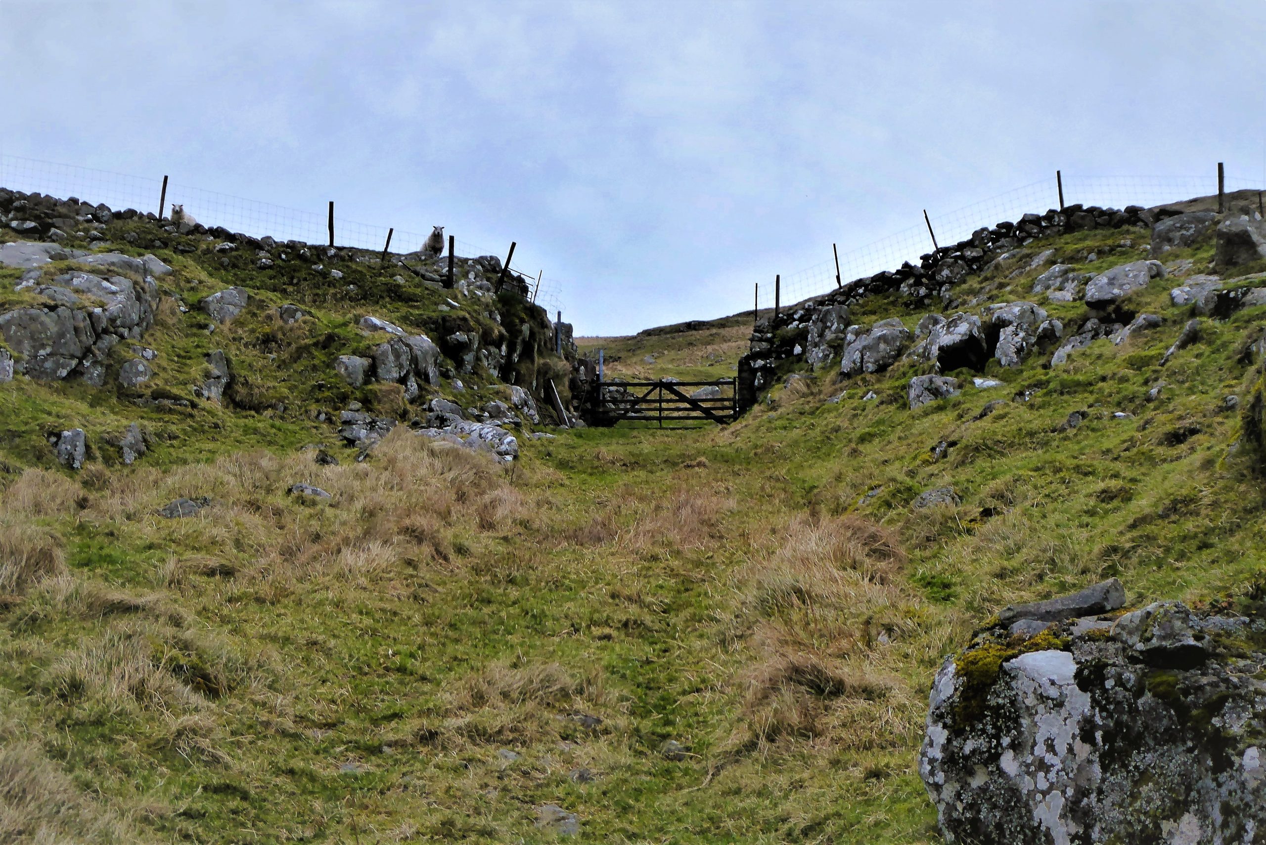

Climb over the gate and veer towards a low dry-stone wall topped by a fence. Follow the wall and savour the views of the Mournes behind the rather characterless and intrusive conifer plantation on nearby Slievegarran, while to the west, the far-off outline of distant County Armagh duo Slieve Gullion and Camlough Mountain spread out on the horizon like a resting beast.
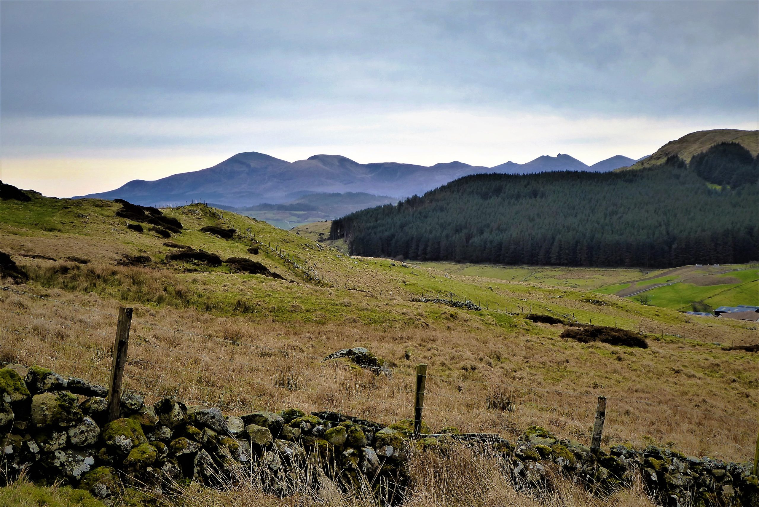

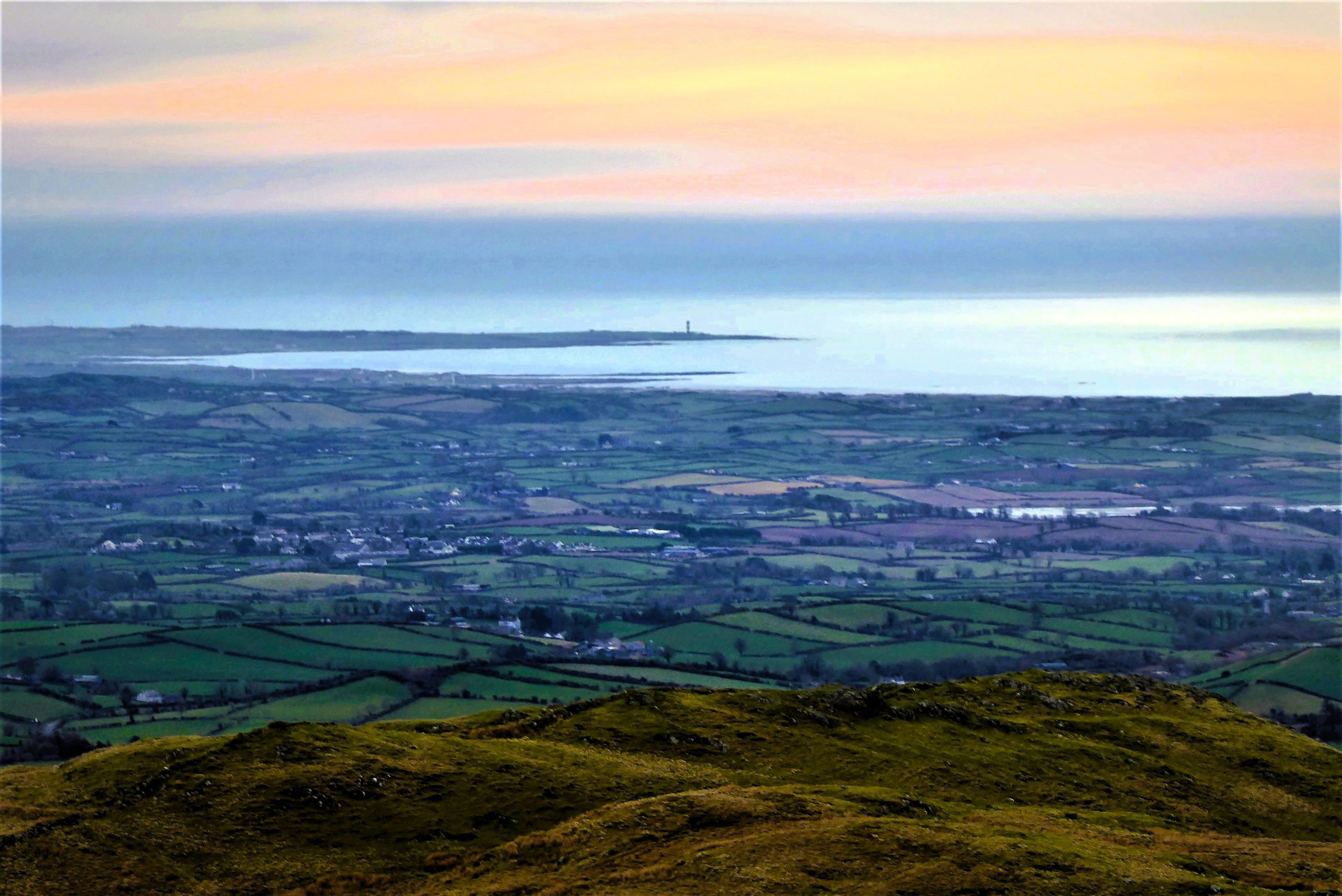
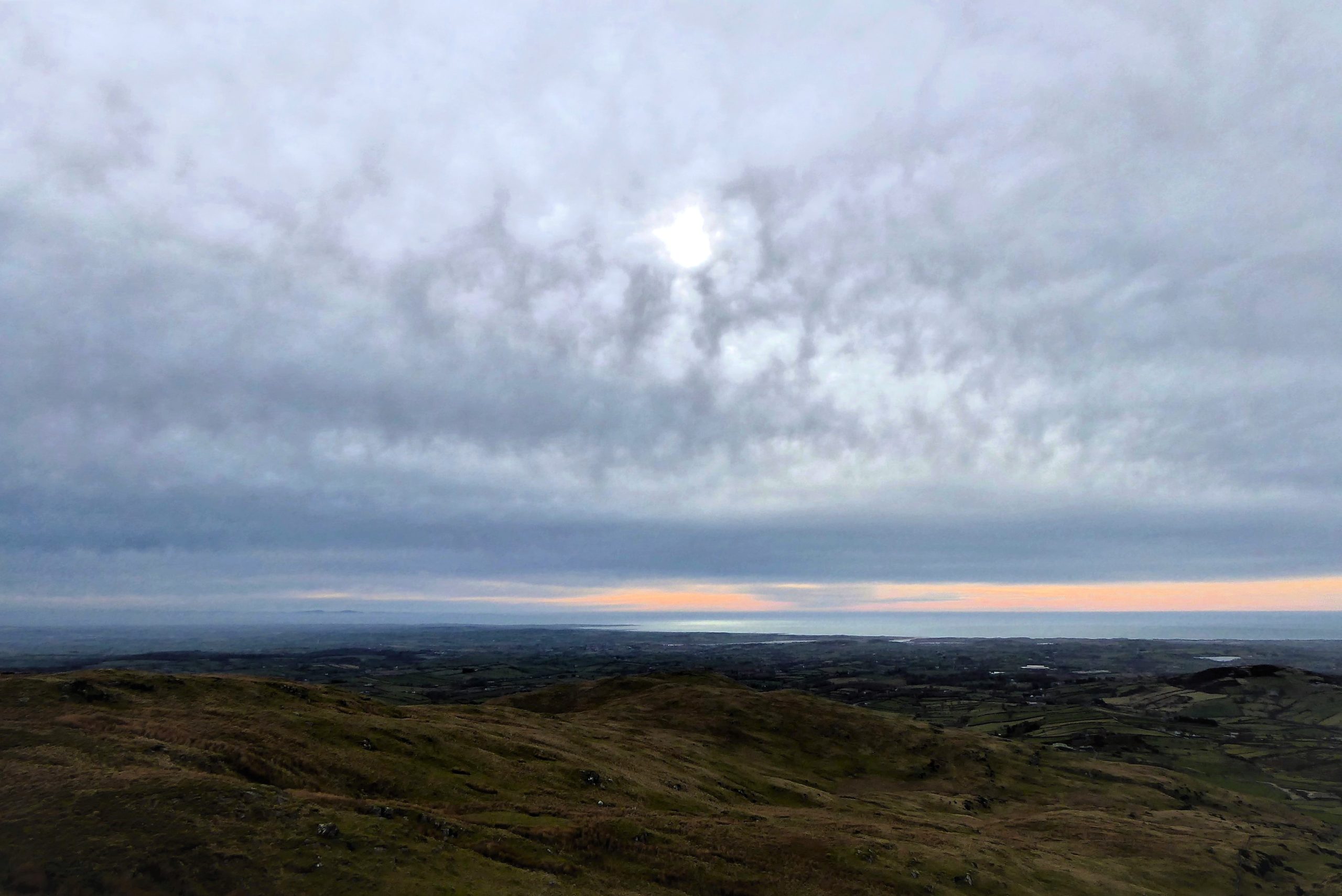
The slopes of Slievenisky are composed mainly of grasses interspersed with frequent rocky outcrops that may require short deviations from the wall. Occasional marshy patches hamper progress, but the walking is mostly straightforward. As you gain height, the views expand to embrace the Irish Sea and the Isle of Man to the east, with Slieve Croob dominating the northern aspect. The Mournes are a constant feature as they sweep down to meet the sea south of Newcastle.
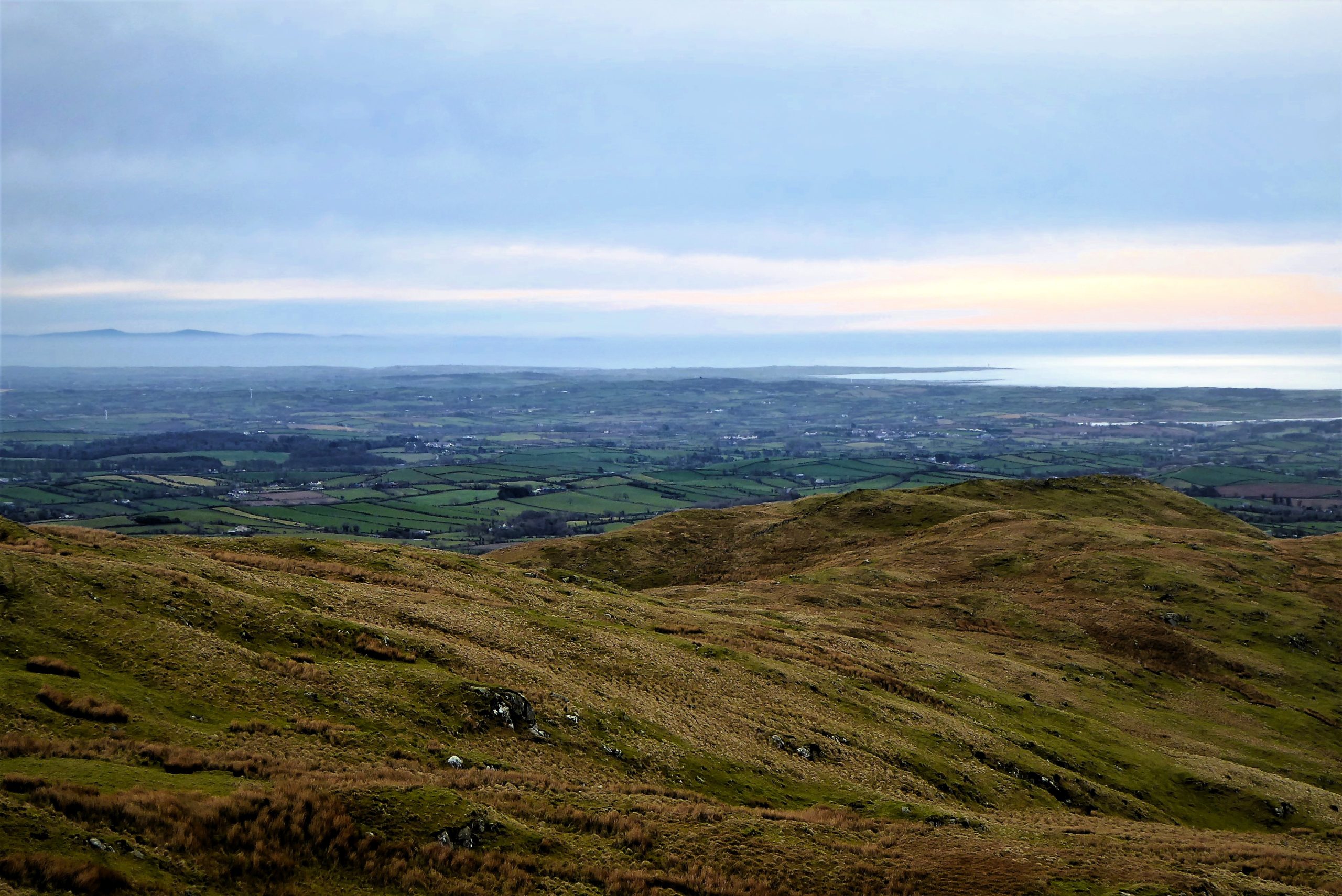
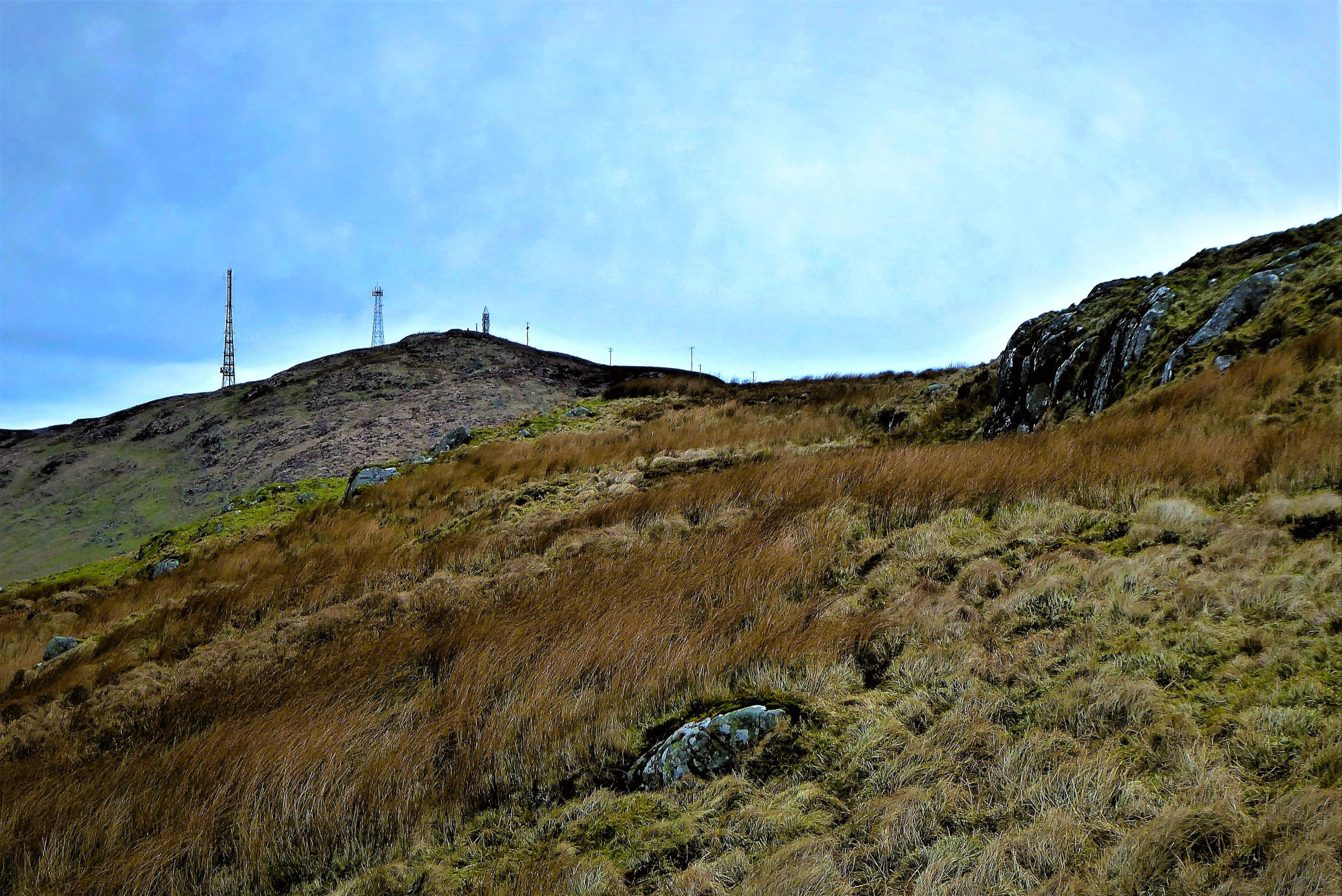

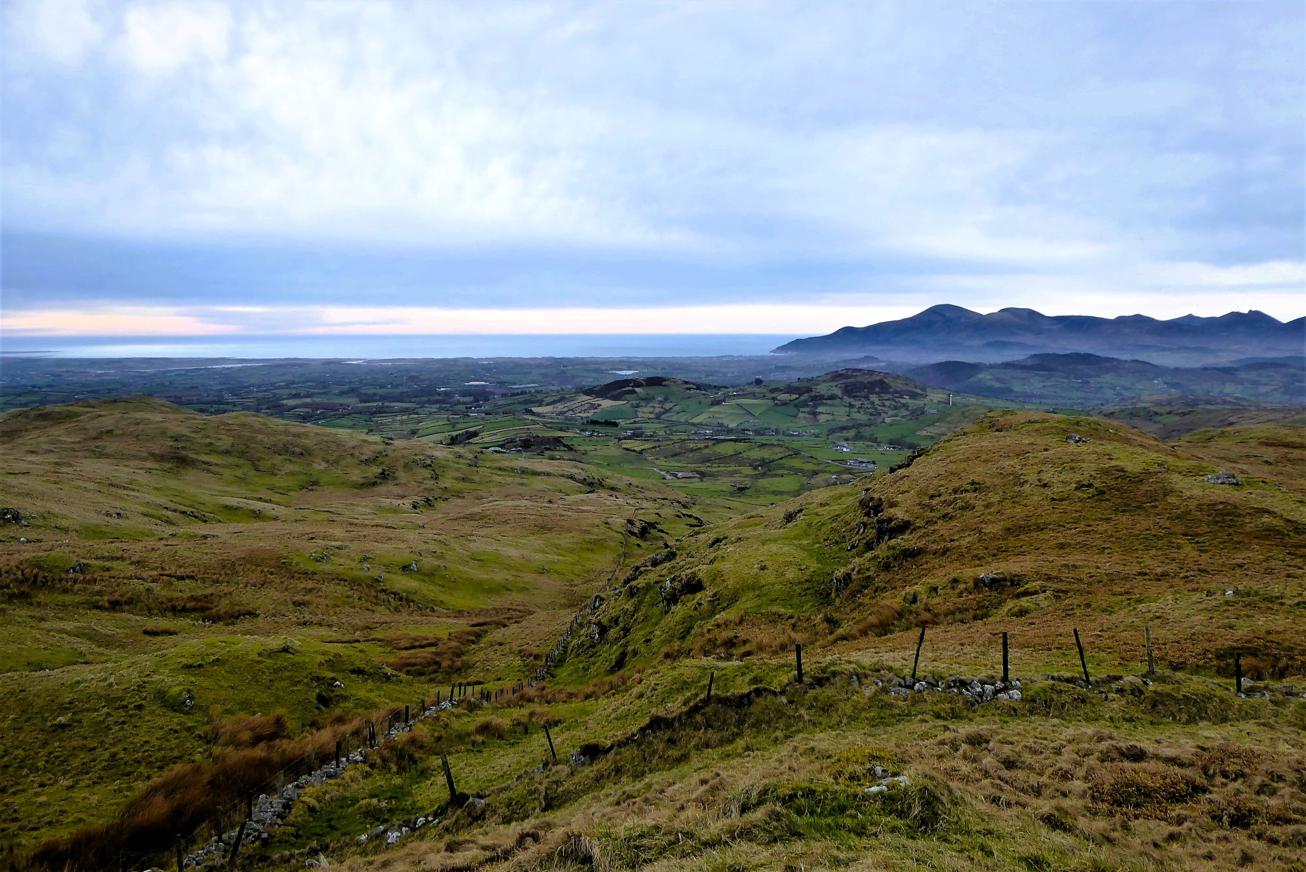
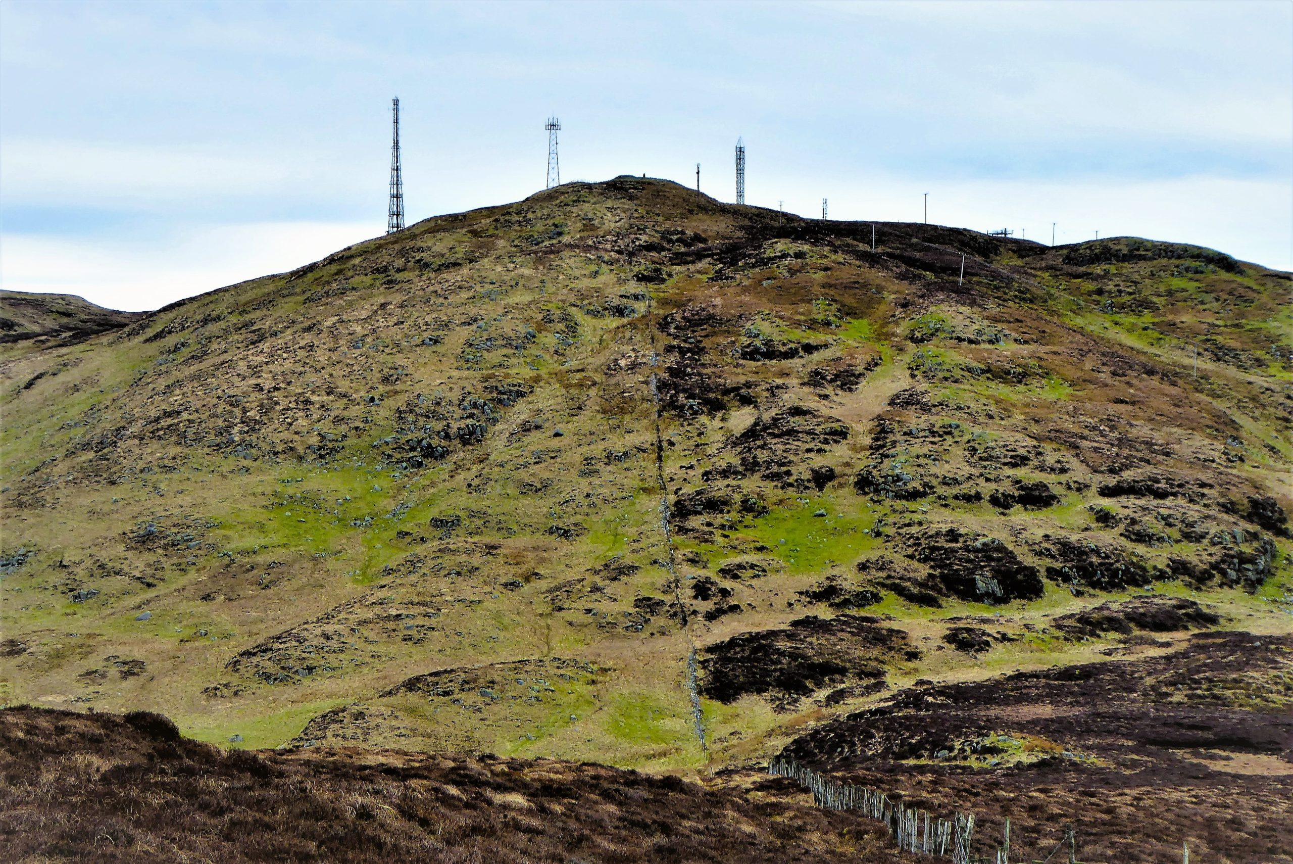
The 446m summit is not marked by anything other than a rocky outcrop (Grid Ref IG J 324443), but it is unmistakably the highest point and offers the most expansive vistas. The Mournes frame the southern outlook, while, to the north, Slieve Croob and its summit ironmongery await the walker. Drumkeeragh Forest lies to the north-east and, far beyond it, good visibility will permit a sighting of Scrabo Tower overlooking Strangford Lough. To begin the walk to Slieve Croob, head for the obvious fence line to the north-east.
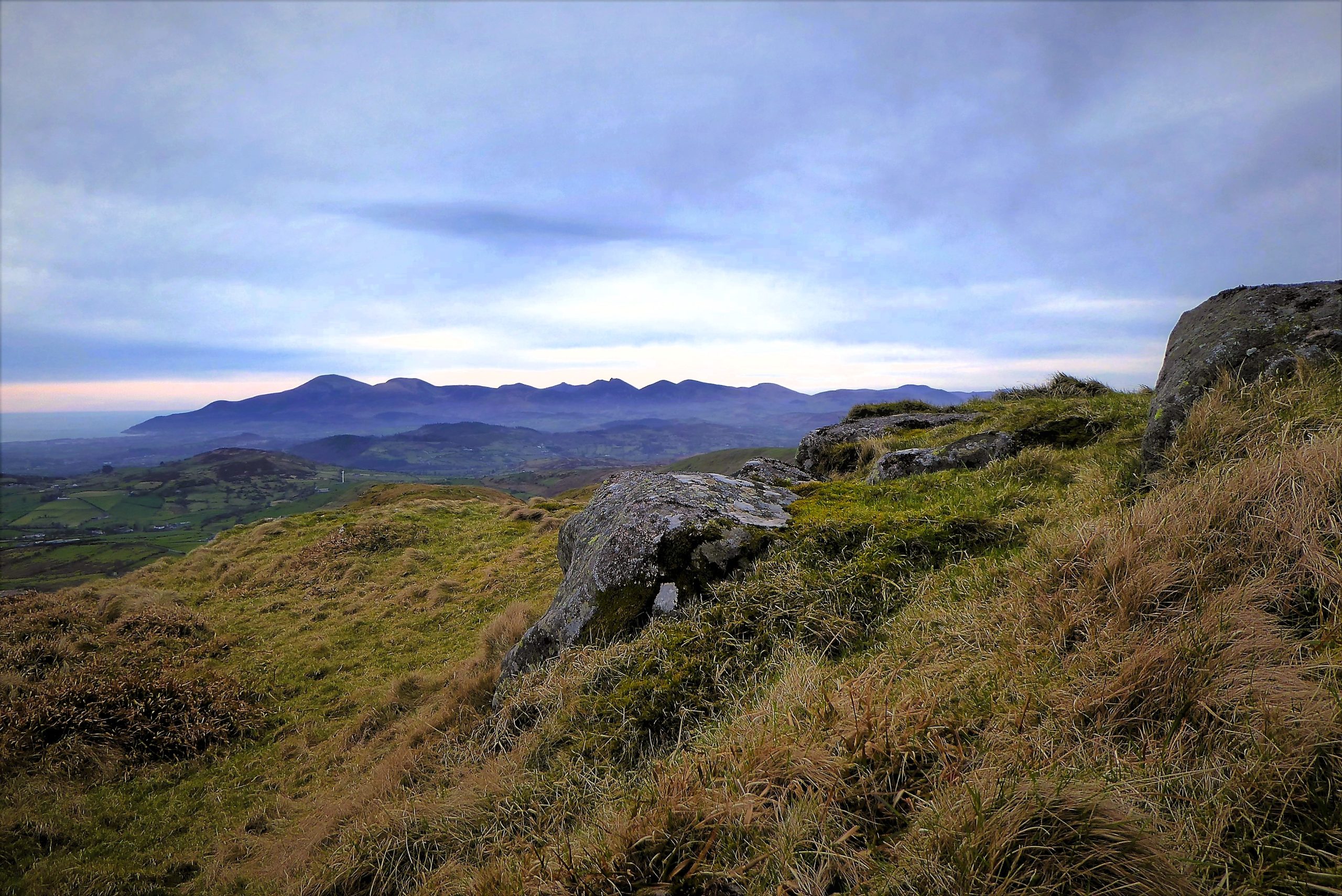

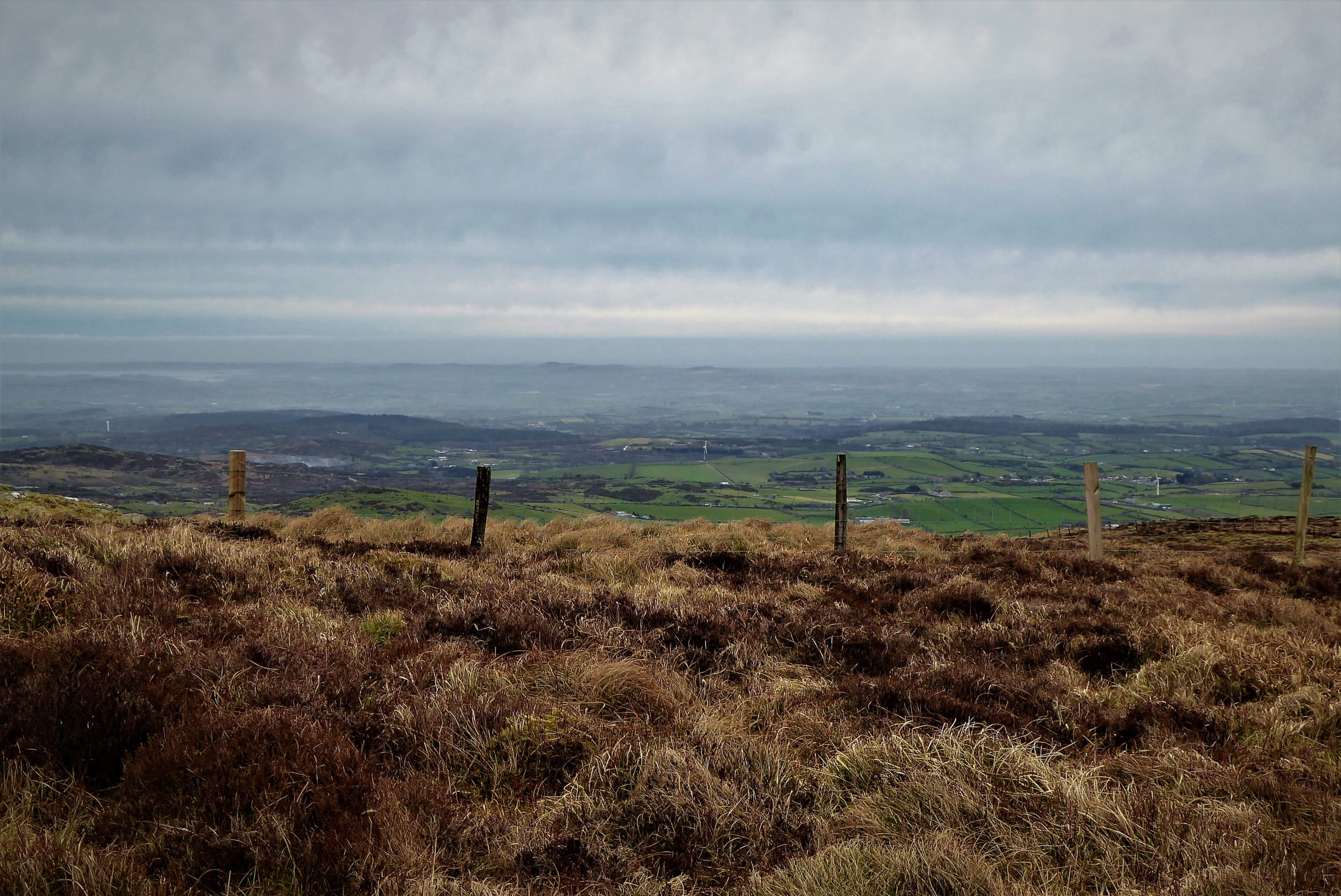
Keeping fairly close to the fence, follow an indistinct track leading gently downhill to the hollow between the two mountains. Ground conditions are usually surprisingly good with a mostly dry surface under the tough, broad-bladed grasses and clumps of heather. This section of the walk is very sheltered and even if a gale is blowing at the top of Slievenisky it is often blissfully quiet here. It’s an ideal spot for a rest and something to eat. The views of the Mournes and Slieve Gullion will enhance the experience; there’s also a good chance of spotting a red kite or a buzzard – all in all, a special place and a personal favourite of this contributor.

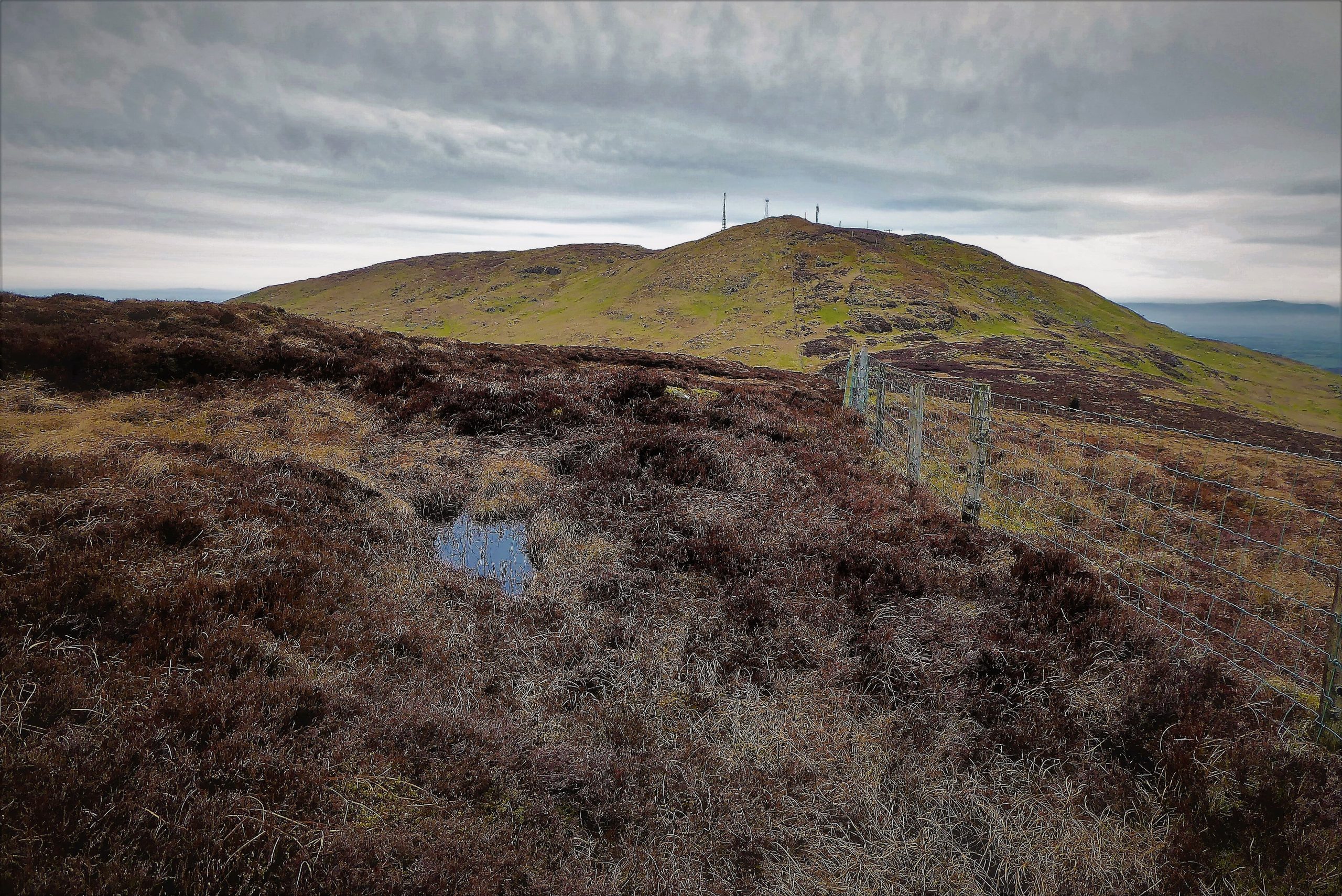
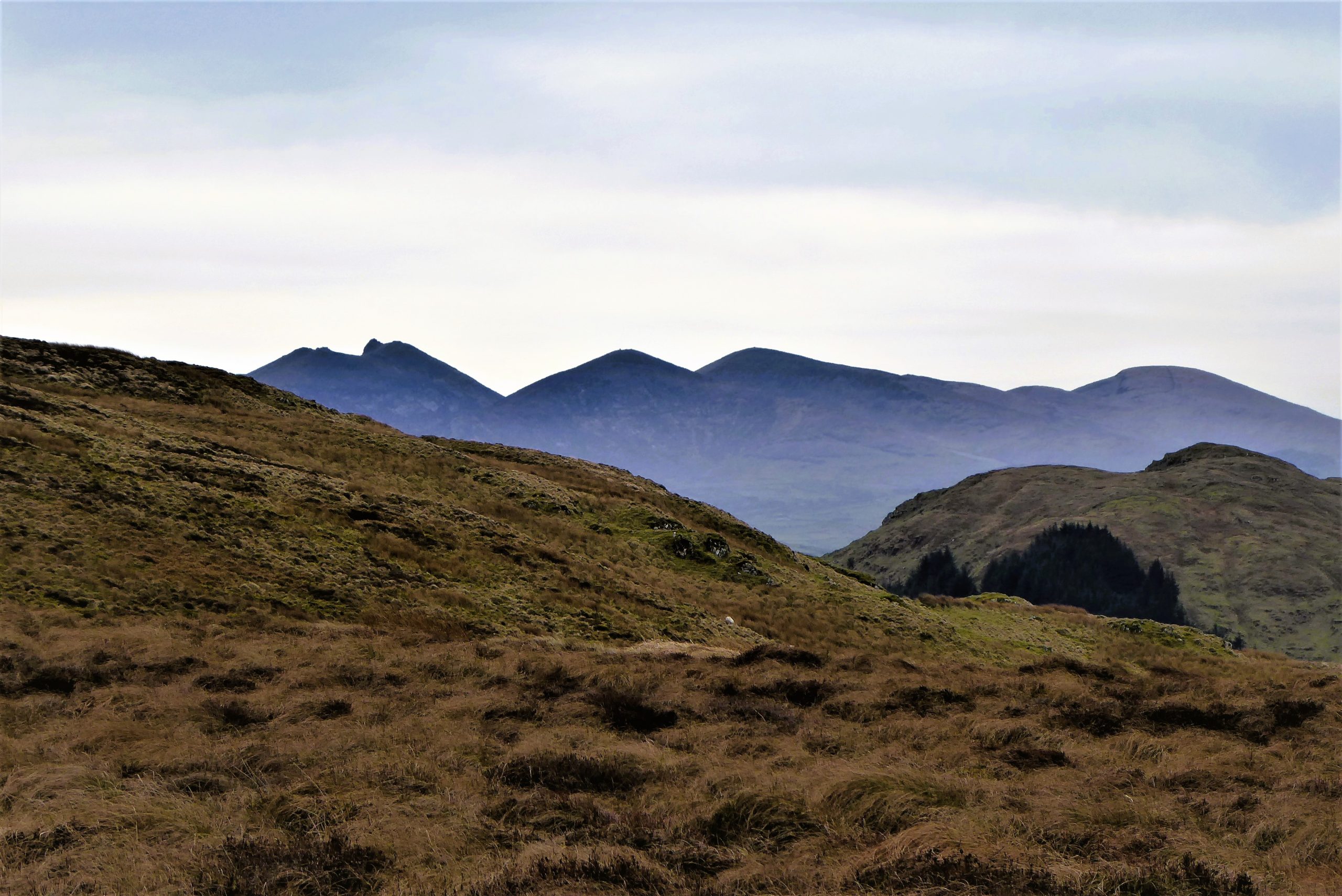
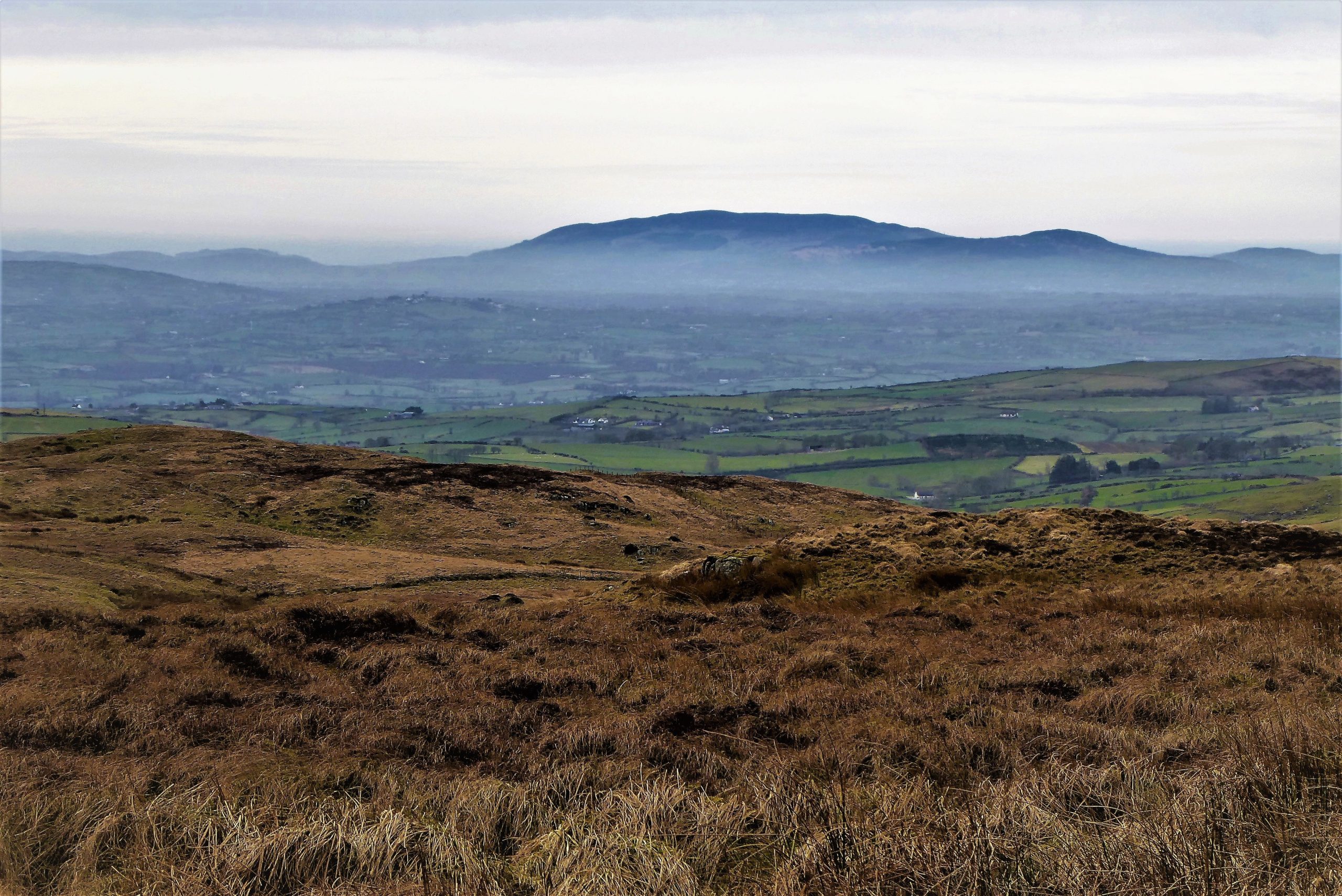
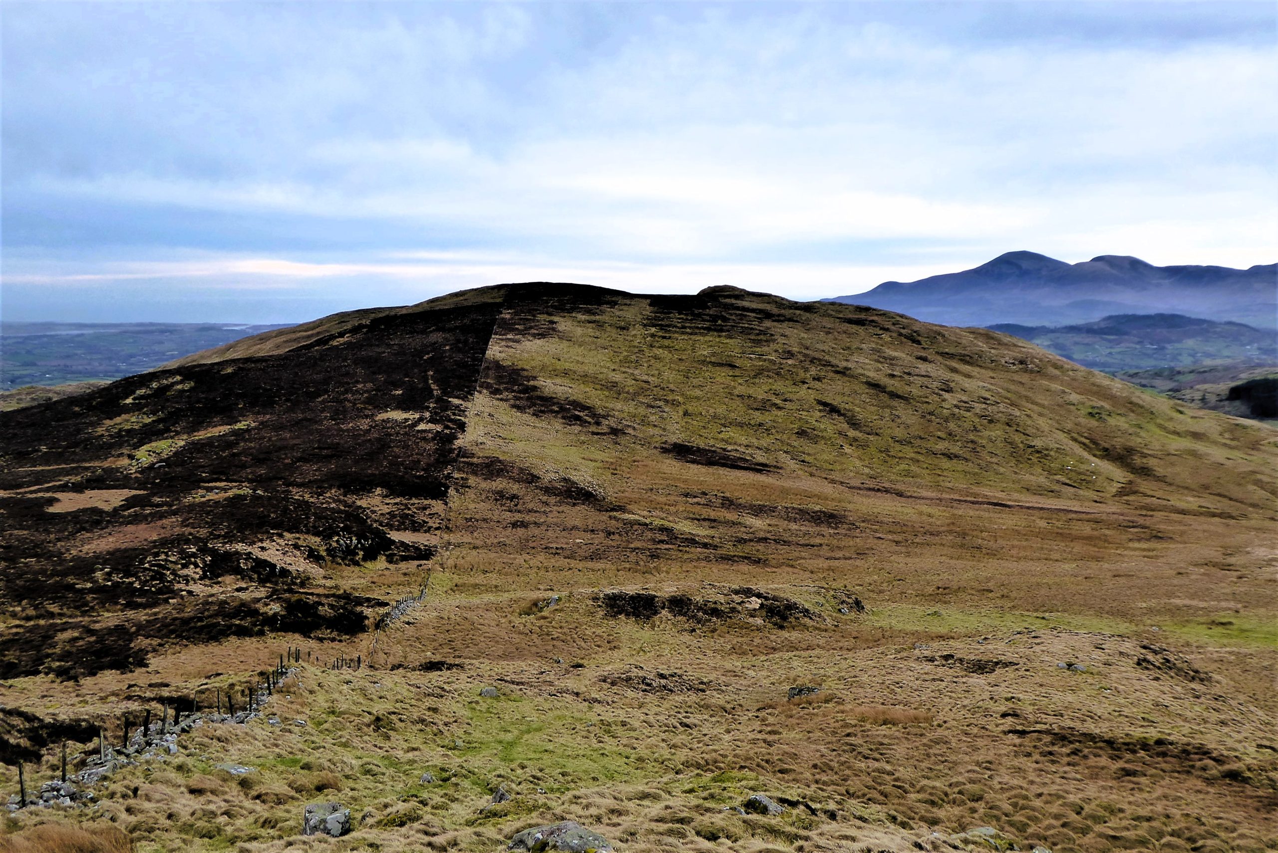
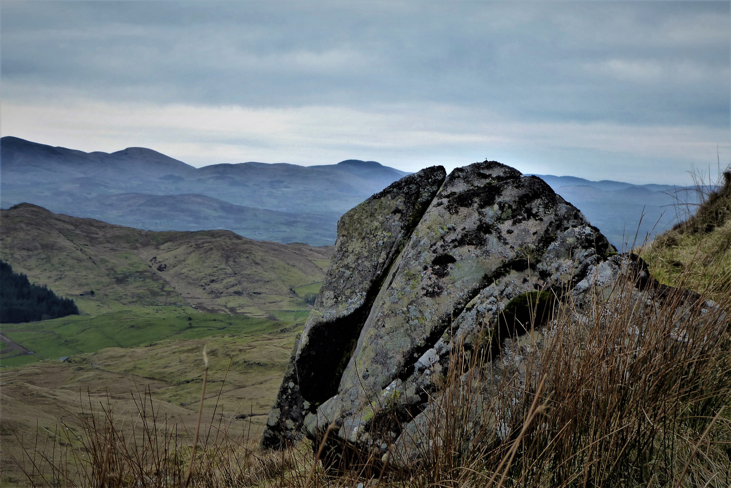
The ascent to Slieve Croob’s summit is moderately steep, but easily managed, with several tracks leading to the same destination. As the summit approaches, keep close to the fencing and cross a stile which delivers you close to the trig pillar and cairn. The local name for the mountain is The Twelve Cairns. It is thought that the original cairn was later rearranged into twelve smaller cairns. These have since been dismantled and the resulting heap of stones is a sad reflection of what must once have been an awesome sight.
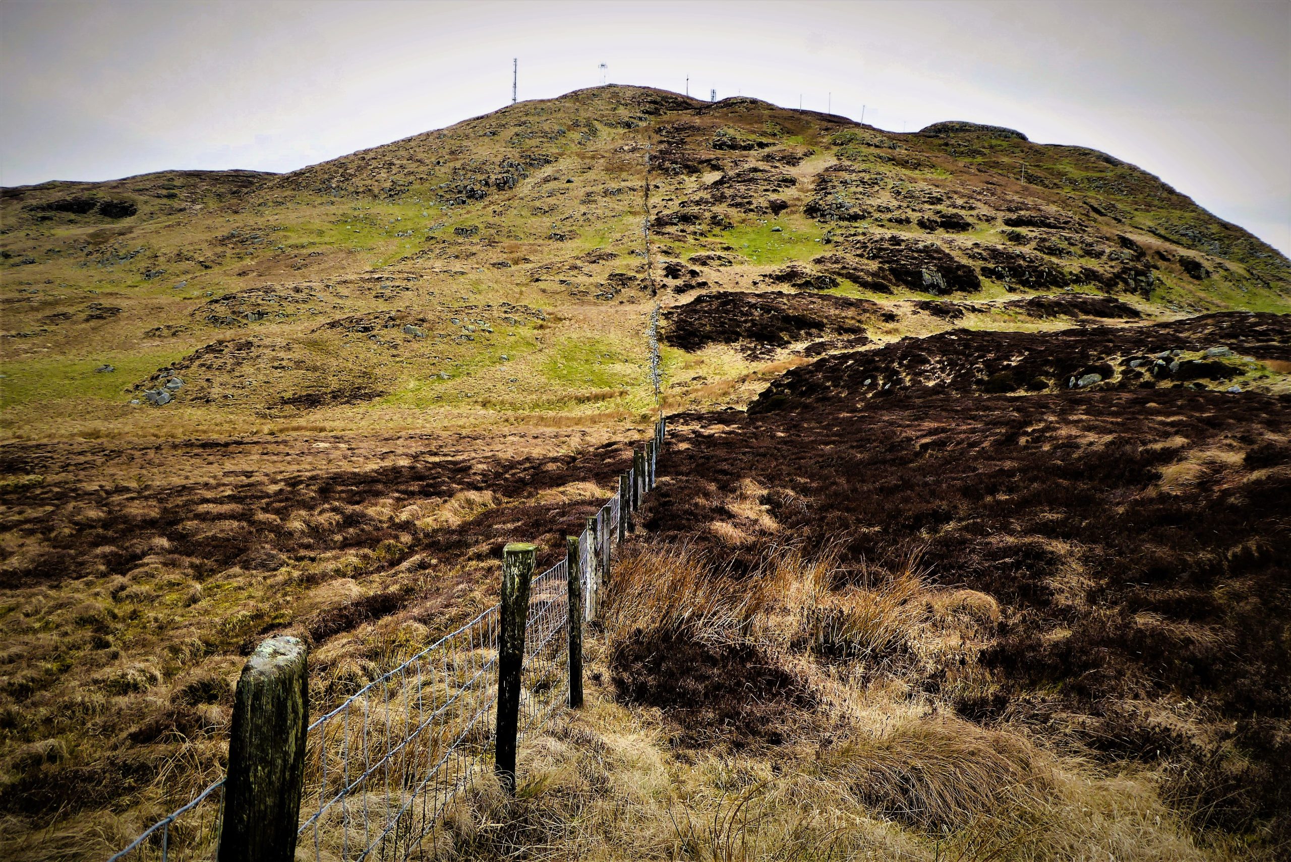

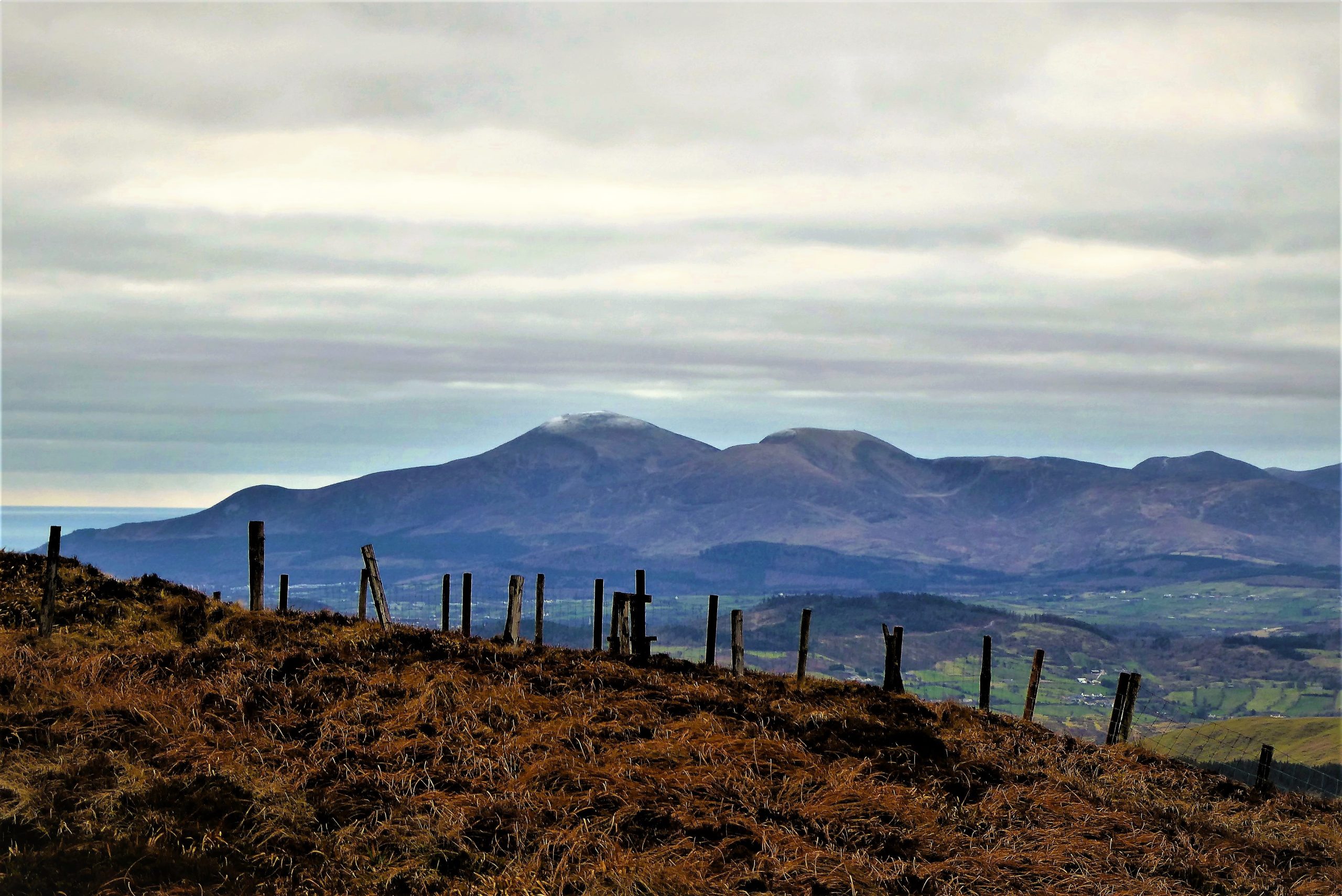
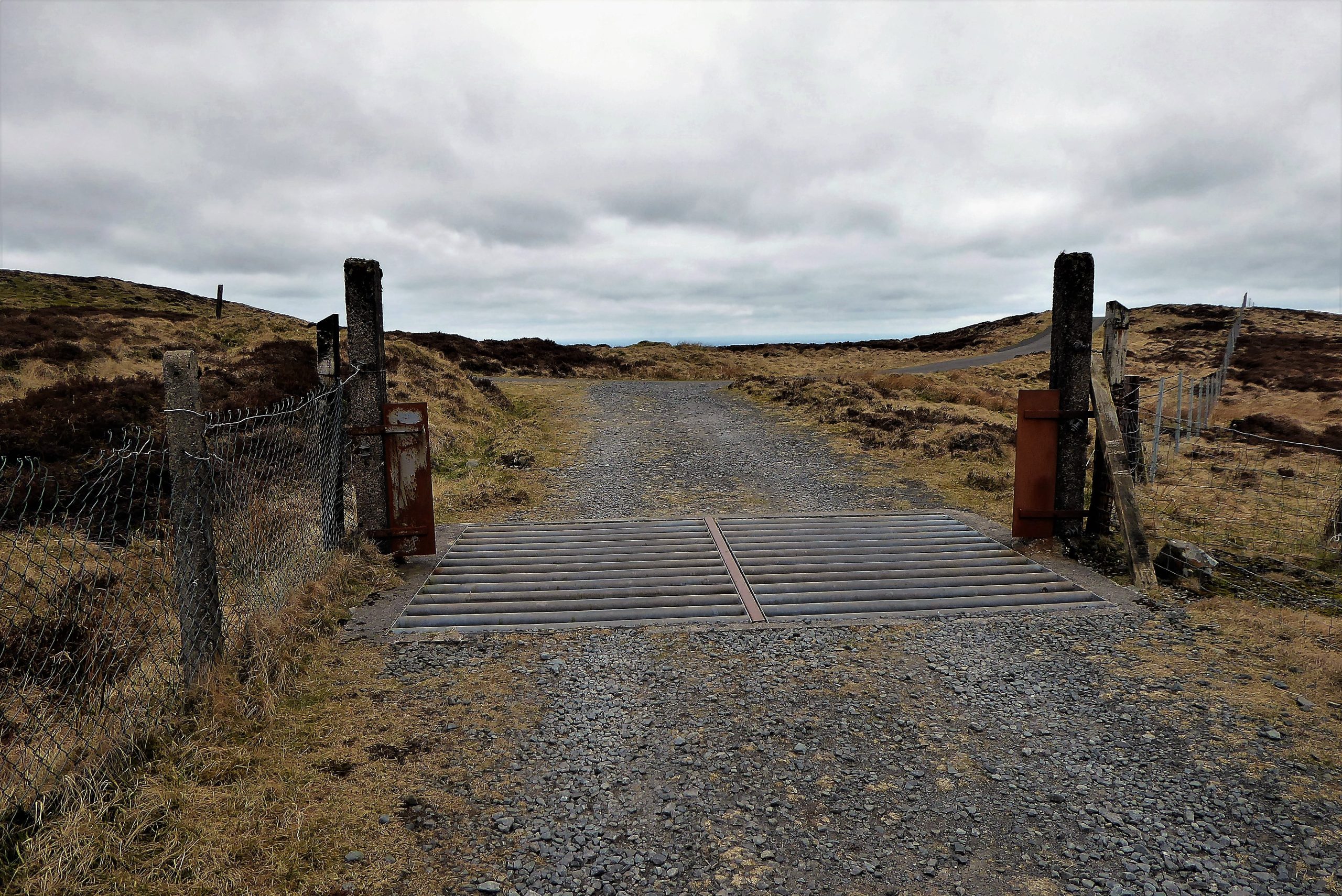
Leaving the summit, there are several ways of beginning the descent. You can walk north keeping to the right of the transmitter paraphernalia on a well-worn, often muddy path that runs downhill until reaching a wooden stile before the last building. Cross the stile and take the service road for about 300m until it meets the main transmitter road just past a cattle grid.
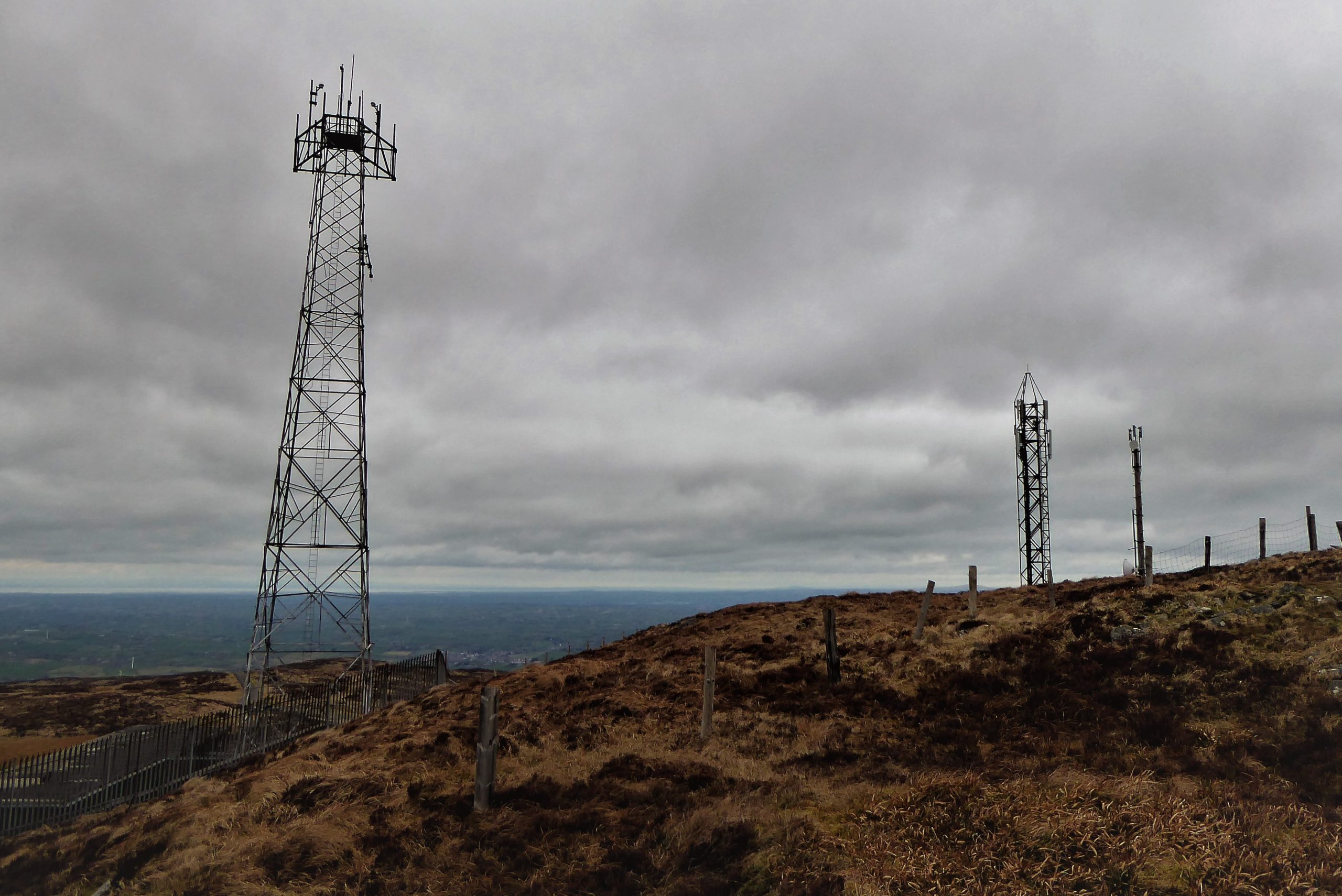

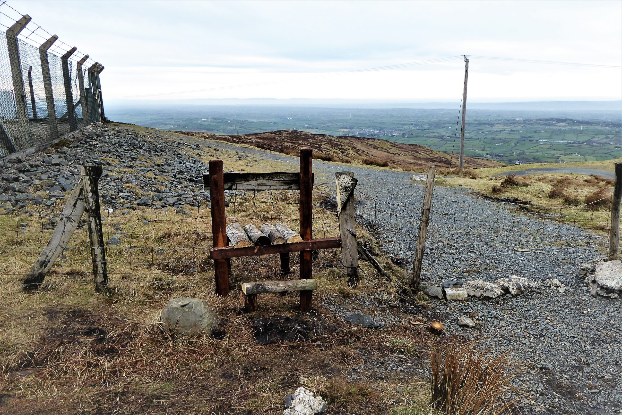
Alternatively, cross the stile at the Slievenisky side of the summit and walk downhill to the west on the left of the masts to meet another stile. Cross the stile and walk down a grassy bank to reach the transmitter road. This option offers good views of the Mournes and a look at a recently installed information board indicating the various landmarks in the sightline.
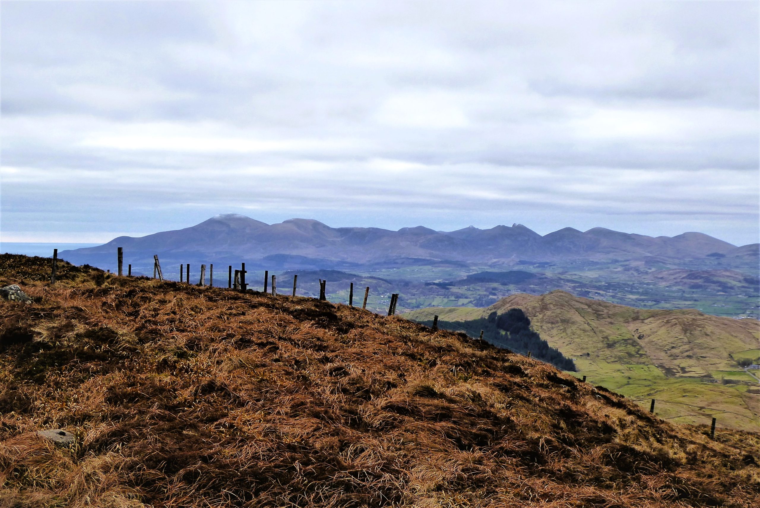
Continue downhill on the transmitter road for about 550m to meet an ageing waymarker on the right. You are now in the vicinity of the source of the Lagan and ground conditions are appropriately soggy. The fledgling river can be seen threading its way through the foothills on its course to Finnis, Dromara, Lisburn and eventually Belfast.
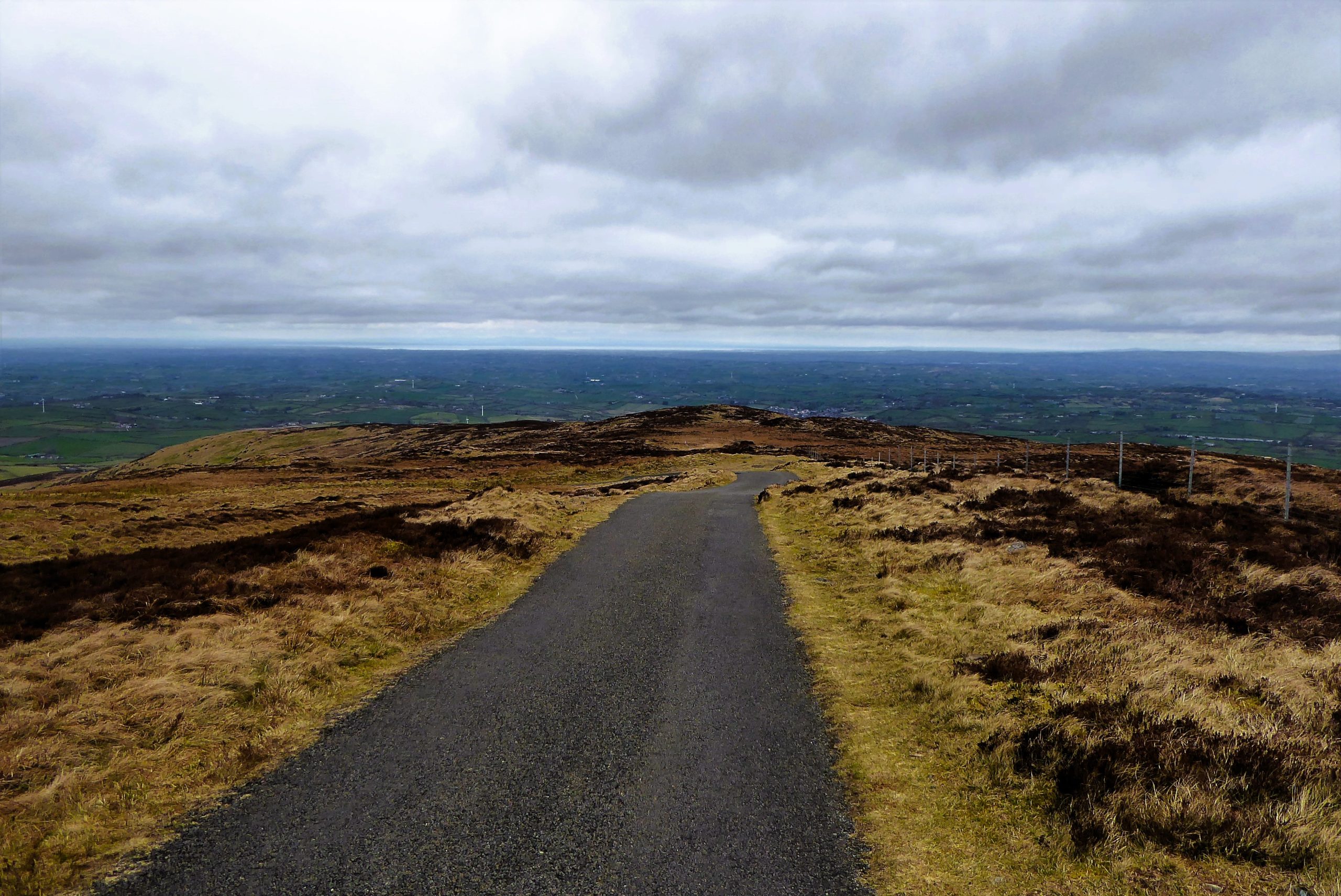

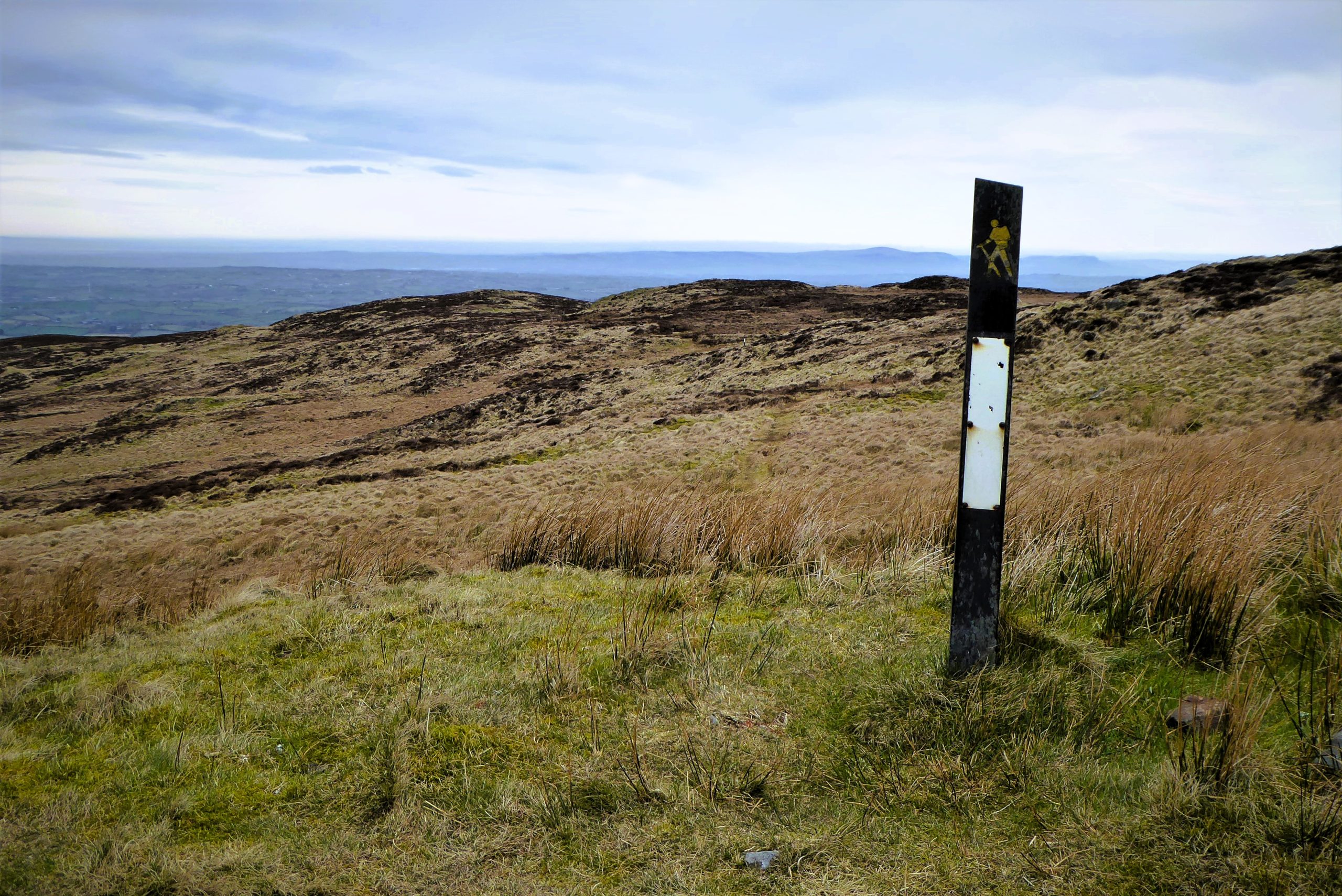

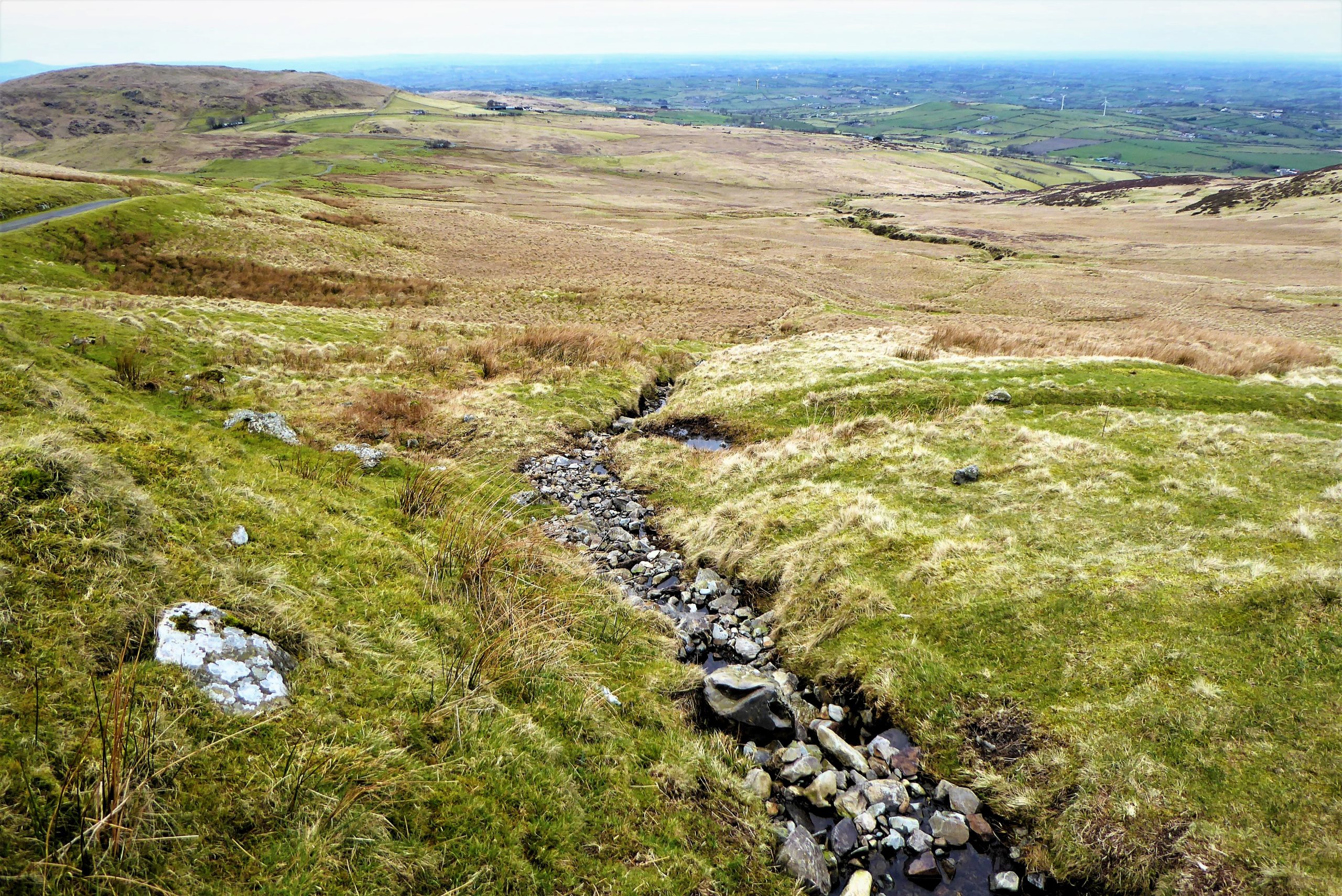
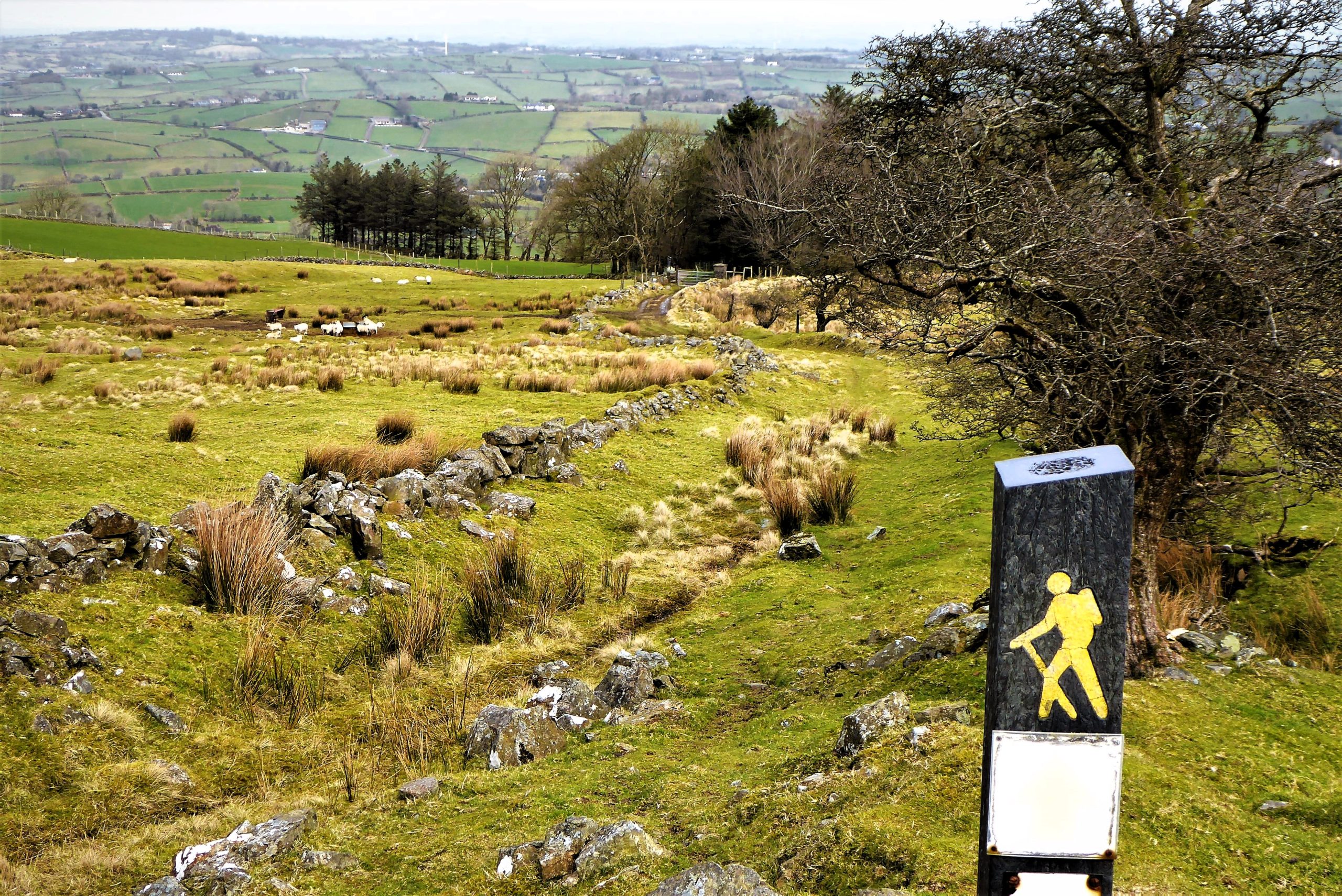
The remaining waymarkers work on the basis that when each post is reached the next one should either be visible, or will soon be within sight. This system is dependent upon good visibility, sharp eyesight and regular upkeep. It works reasonably well on Pass Loaning, albeit with the occasional glitch. There is a recognisable, but faint, track for most of the way, but it can be confusing and messy as the route is also used by mountain bikers and quad users whose preferred direction of travel may not match that of walkers.
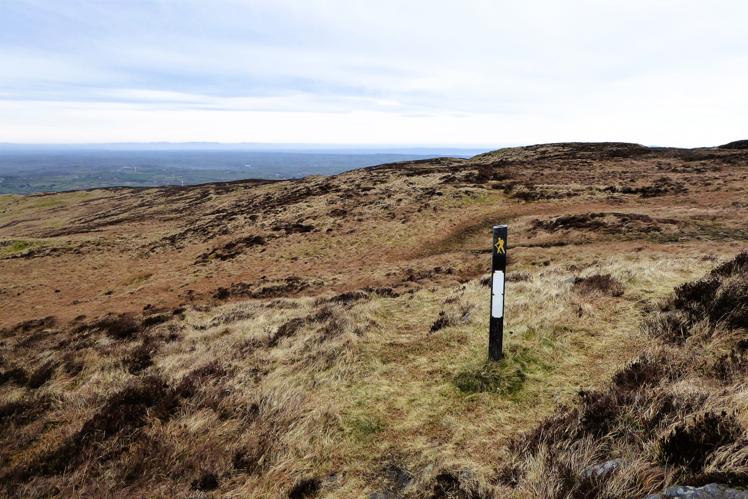
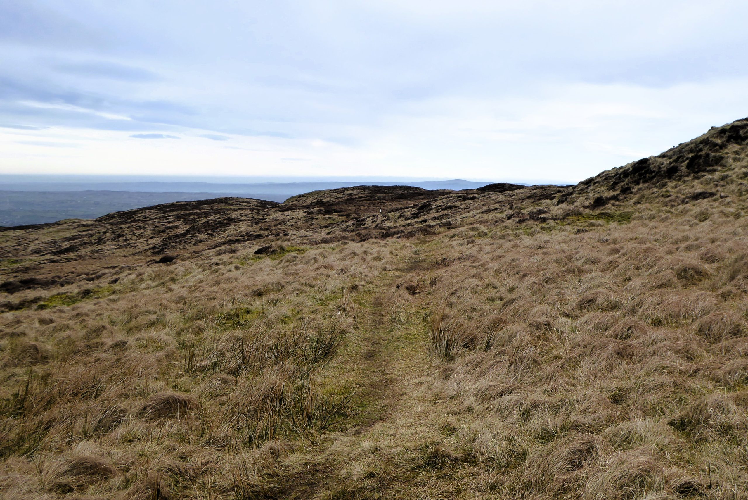
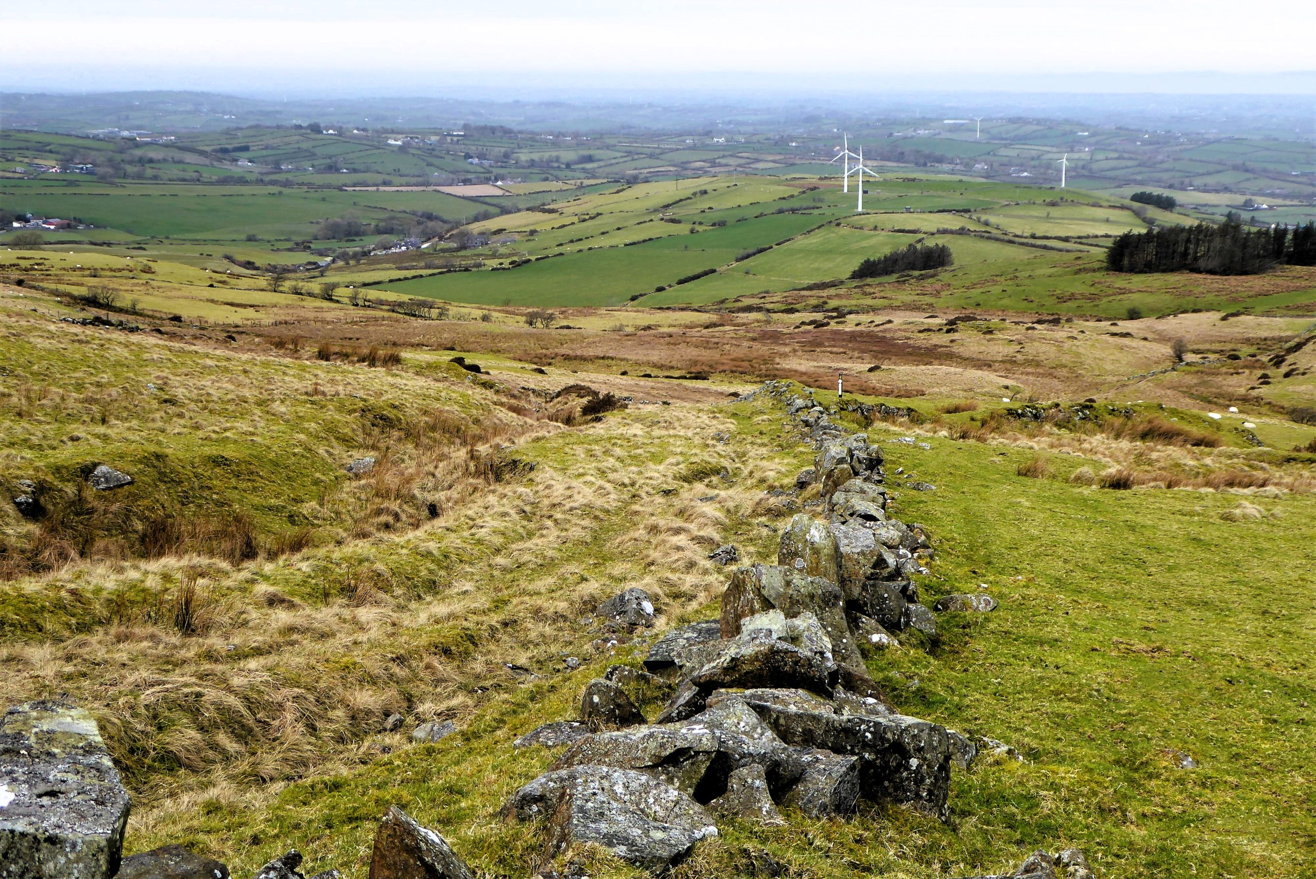
The gently undulating track reaches a stile and waymarker after about 1.5km. After the next waymarker, the path arrives at another stile. The waymarker following this stile is not immediately obvious and the track becomes increasingly faint as it makes its way downhill. Veer slightly to the right and use a group of three wind turbines in the distance as a temporary waymarker to guide you towards the next post.
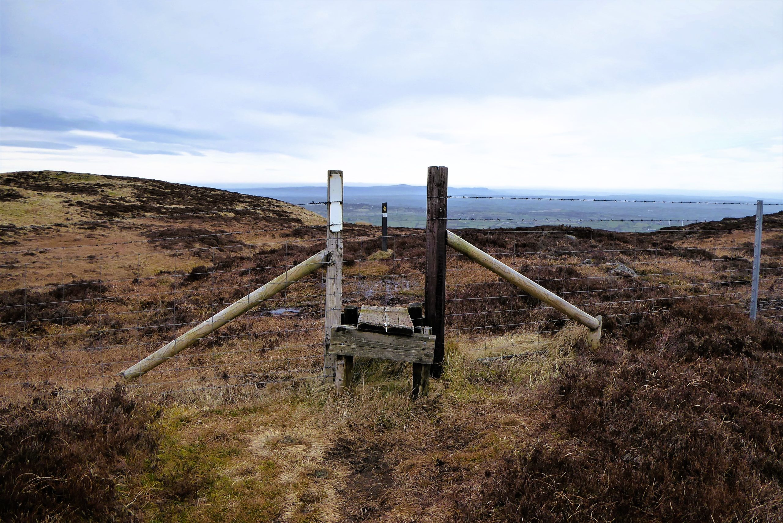
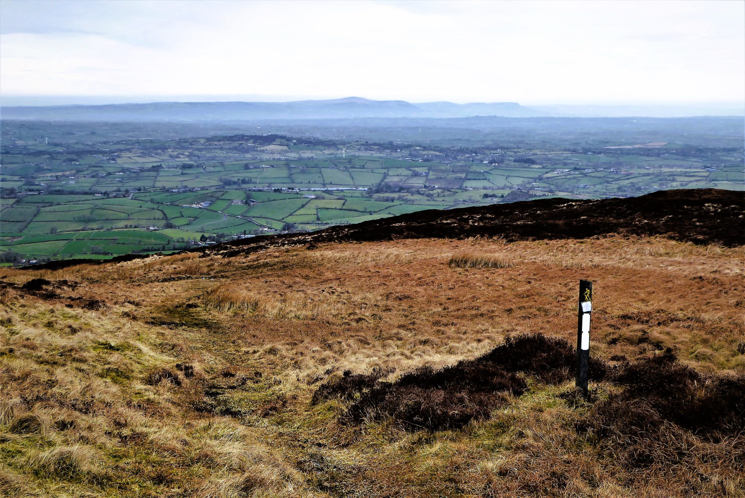
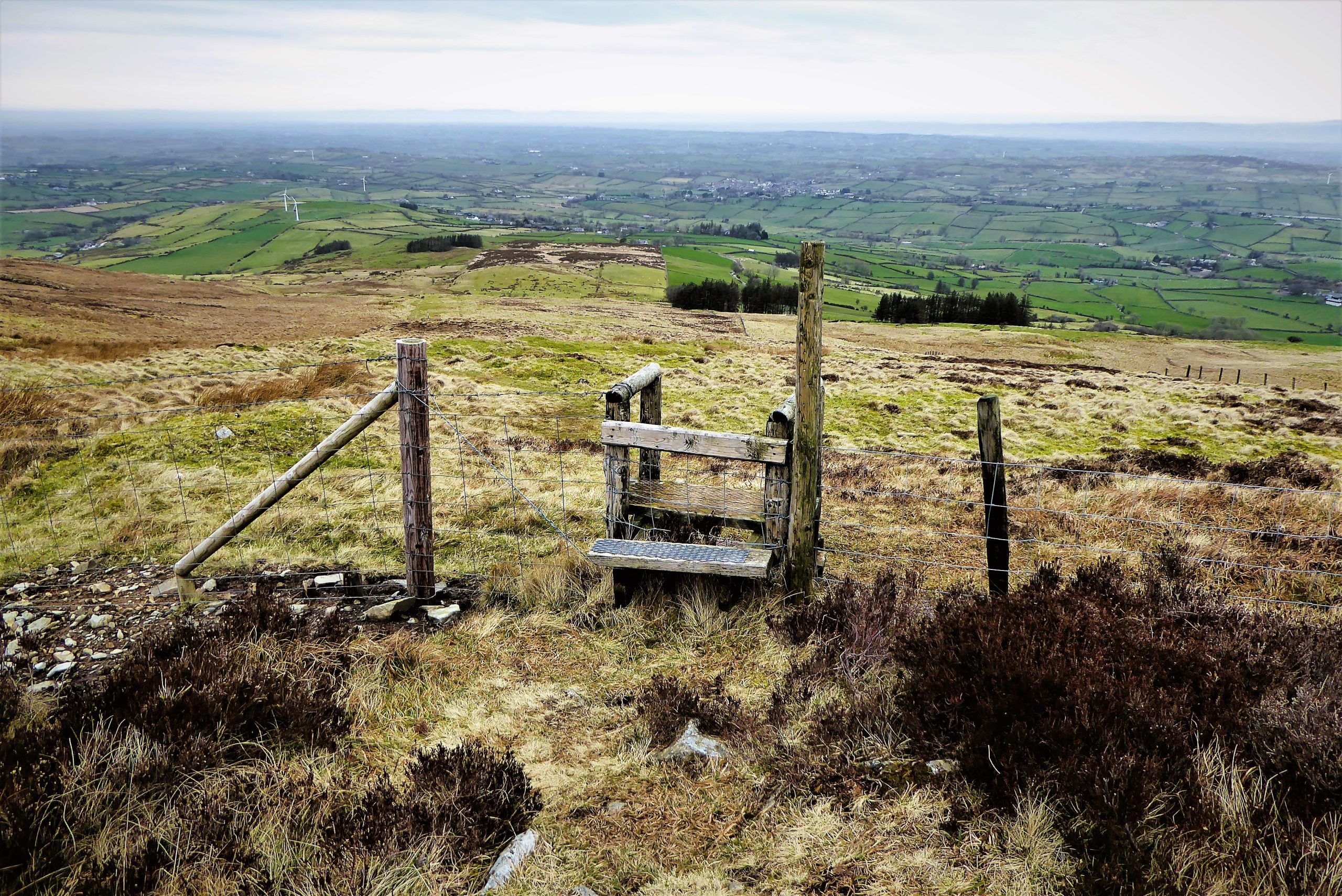

After a further 300m of downhill progress, the next waymarker appears to the right of a rough path bounded by an irregular line of rocks. Veer right and follow the line of rocks in the direction of a group of trees. Soon, you arrive at a gate and stile leading to a gravel lane.


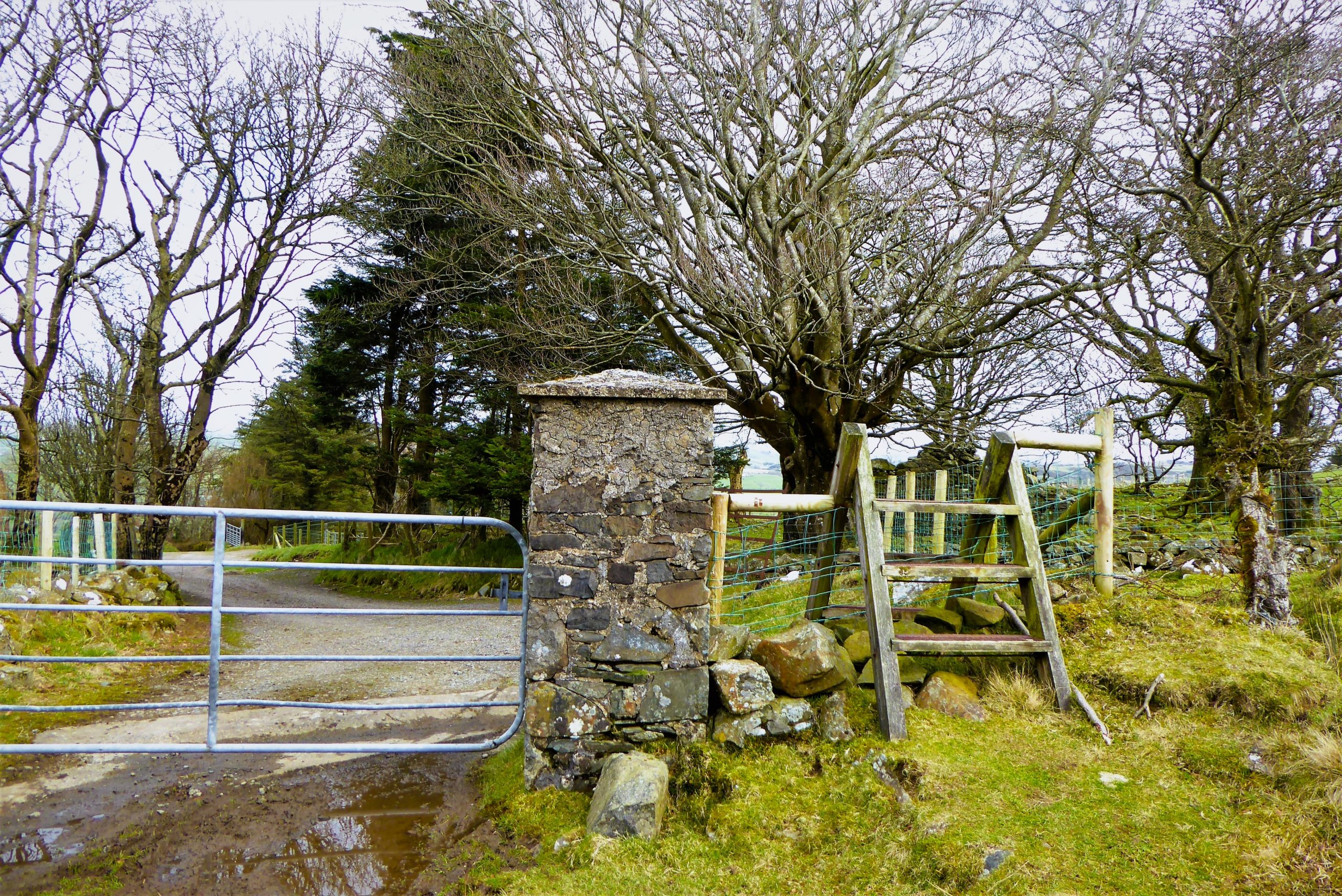
The gravel surface is soon upgraded to concrete as the lane continues through attractive farmland for 1.5km before meeting Drin Road. Turn left and complete the 1.6km walk along Drin Road towards Finnis. When Drin meets Dree, turn right and walk the few metres back to Peter Morgan’s Cottage.


c16km (c10 miles)
4 to 5 hours
OSNI Activity Map: The Mournes (1:25000)
OSNI Discovery Series: Craigavon, Sheet 20 (1:50000)
From Dromara, take the B7 for Rathfriland. After about 1¼ miles, on reaching Finnis, turn left onto Dree Hill; after a few metres, turn left at Peter Morgan’s Cottage and park (you may have to open the gate).
…you enjoy a moderately long, quiet walk in rugged, desolate countryside with only sheep and birds of prey for company on most of the journey. About half of the walk takes place on roads that are not traffic free, but you can expect to meet relatively few vehicles. Slieve Croob is quite popular with walkers, most of whom will use the service road to the transmitters, but otherwise, you will need to be comfortable with your own company.
Slieve Croob culture and heritage
Traditionally, the festival of Lughnasa was celebrated in August to presage the harvest. Held in honour of the Celtic sun god Lugh, it took the form of gatherings of people on their local hills, where fires of gorse and turf were lit to encourage the sun to shine during the harvest months. Local people would clamber up to the summit of Slieve Croob gathering basketfuls of blaeberries (bilberries) on the way. An afternoon of music, dancing, storytelling and matchmaking would follow. The Blaeberry Sunday tradition died out gradually in the 1950s; writing in 1951 in his great book Mourne Country: Landscape and Life in South Down, renowned geographer and folklorist Estyn Evans referred to it dismissively as “no more than an occasion for family picnics.” However, in recent years efforts have been made to revive the tradition in the form of organised walks. Schedules for the revived Blaeberry Sunday activities are posted on the community notice board outside Peter Morgan’s Cottage in Finnis.
 Belfast,Photography
5 scenic walks around Lisburn
 Mourne Mountains
Bearnagh: Chased the sunset, caught the rain
 Mourne Mountains
Camping in the High Mournes
 Fermanagh and Tyrone
Cuilcagh: Stairway to Heaven
 Features
Every Game of Thrones Location in Northern Ireland
 Mourne Mountains
Hen and Cock Mountains
 Mourne Mountains
Leganabrachan, Millstone and Thomas: Donard’s Seaside Bodyguards
 Mourne Mountains
Percy Bysshe and Cove Caves