Climbing Slieve Binnian from Carrick Little (for novice hikers)

Would you like to sponsor this article?

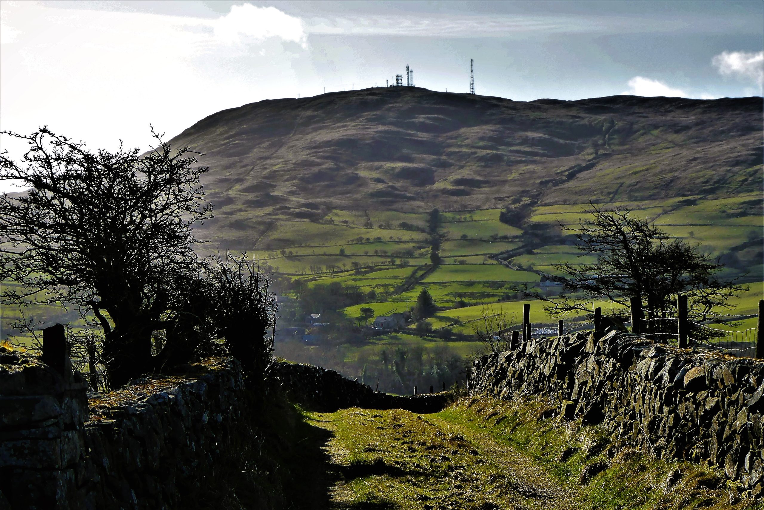
A circular walk in the Dromara Hills using public roads and two public footpaths. The walk begins at Drumkeeragh Forest Park, following a public road for two miles until reaching the first of two loanins. The next two miles are predominantly off-road, the final third of the walk ending with a return to the car park on a quiet country road. Slieve Croob is a constant and welcome presence throughout the walk. The steepest section of the walk is probably a short stretch of Drumboy Road, although there are some moderately steep gradients on the loanins. The highest point of the walk is Drumkeeragh car park, at about 270m.
Drumkeeragh Forest car park, BT24 8QS. There are some picnic facilities in this expansive new car park which was completed in 2020. The car park includes spaces for horse boxes.
Take care on Drumnaquoile/Castlewellan Road. It is usually quiet, but is not traffic free. As roughly two-thirds of the walk takes place on public roads, it would be unsuitable for large groups. If walking in winter or after heavy rain, the loanins can be very muddy. Sturdy, waterproof footwear is recommended. As on the walk described, expect variable, sometimes eccentrically contrasting weather conditions.
SHOP: Trek NI Hoodies – made from 100% organic cotton.
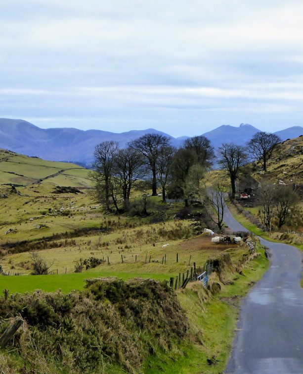
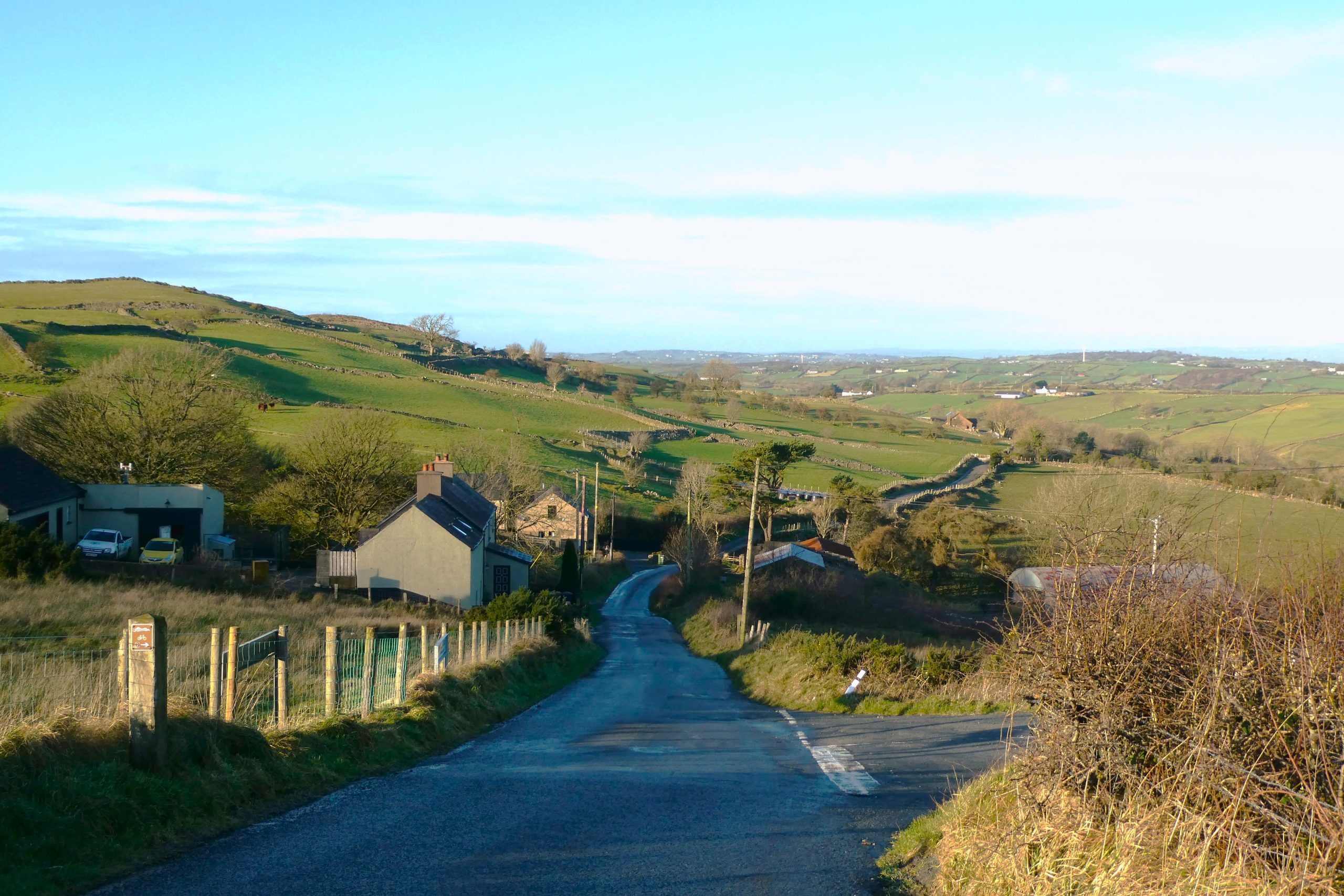
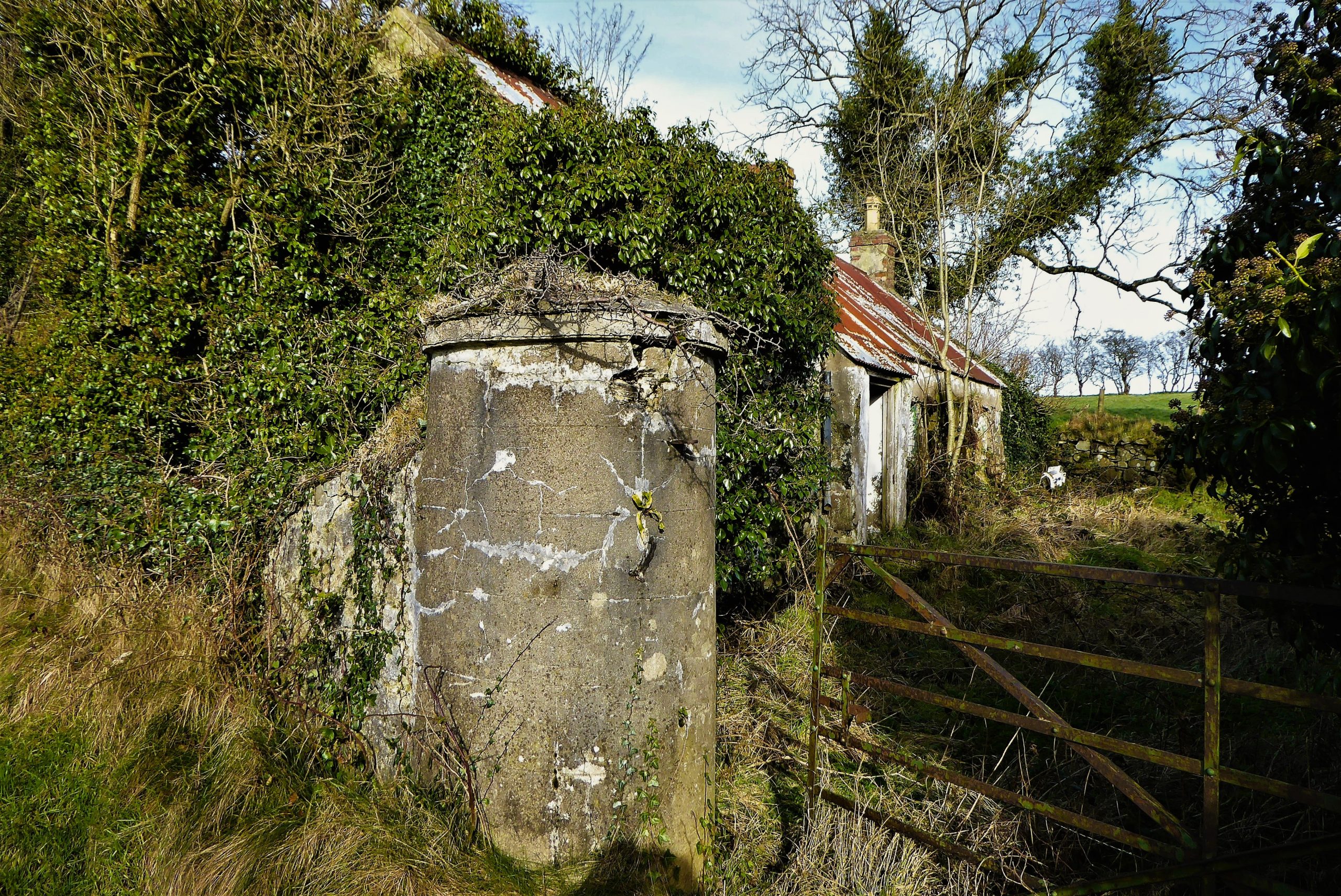
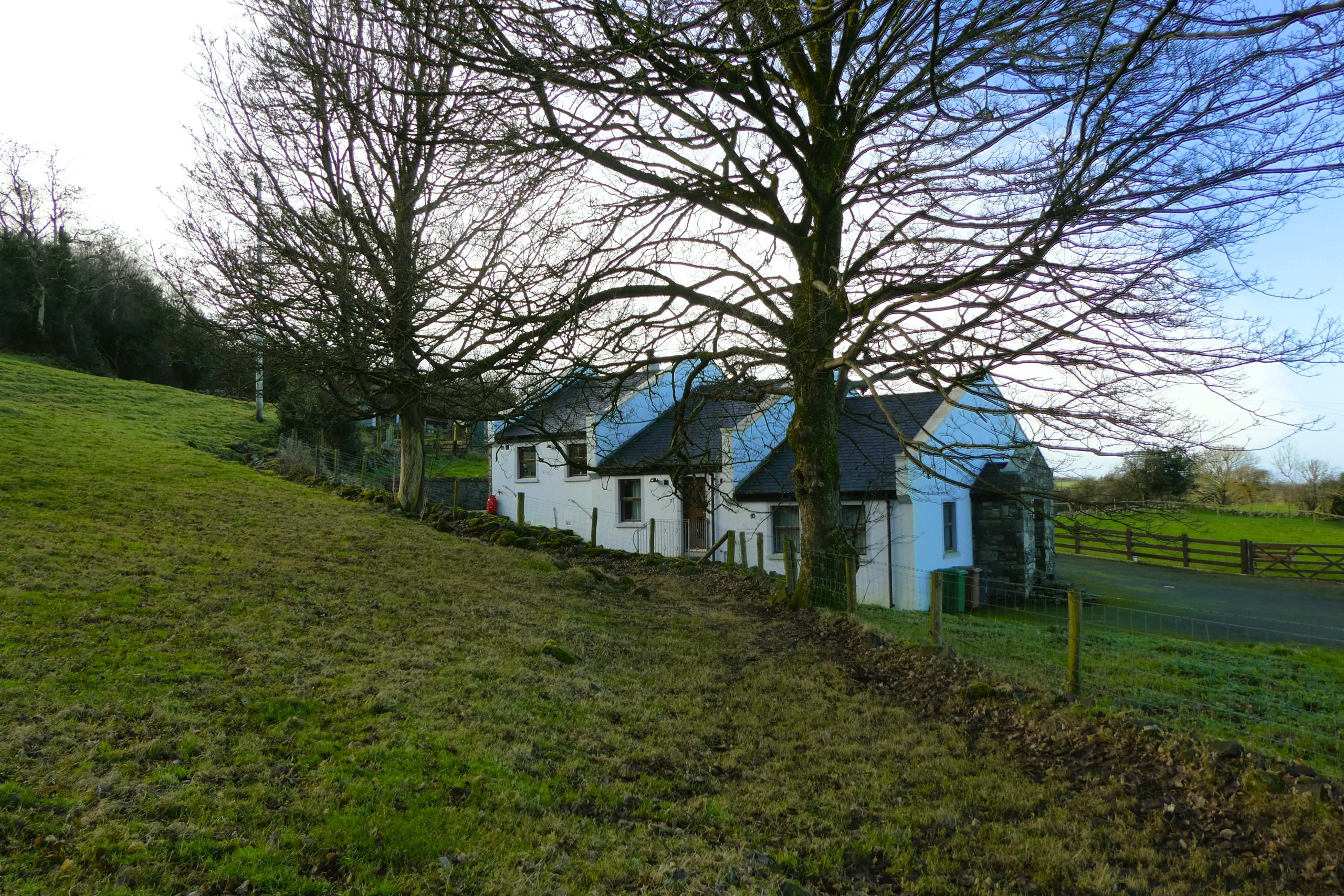
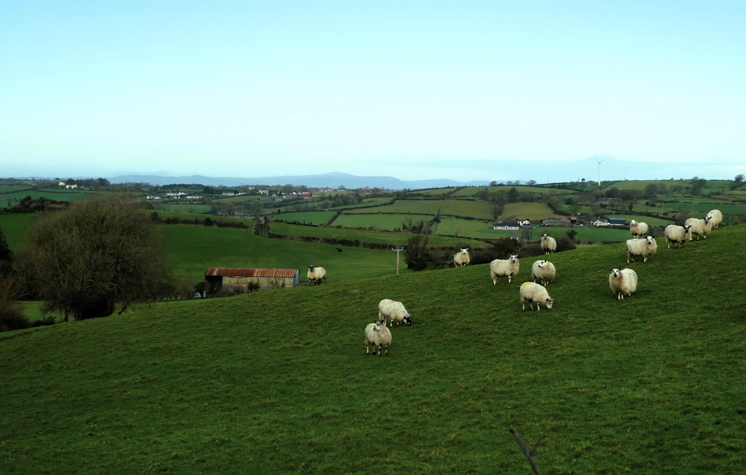
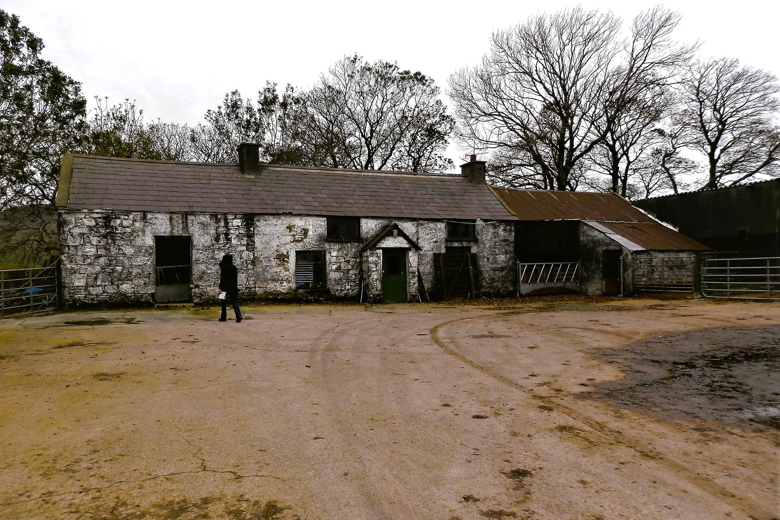
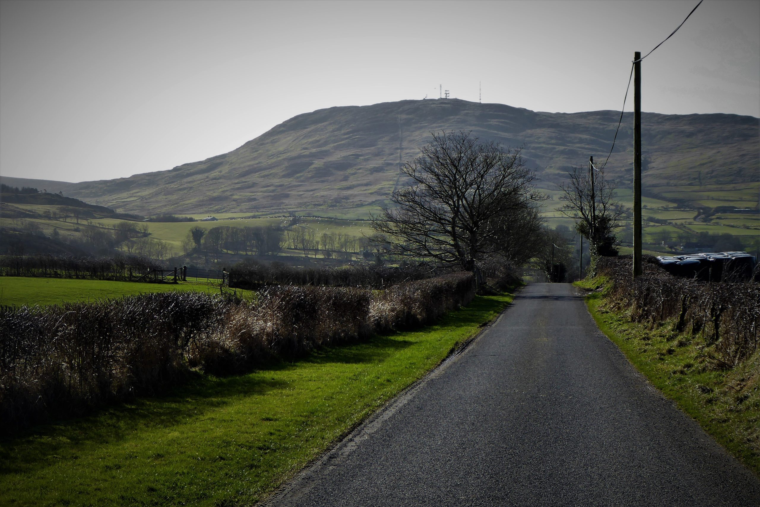
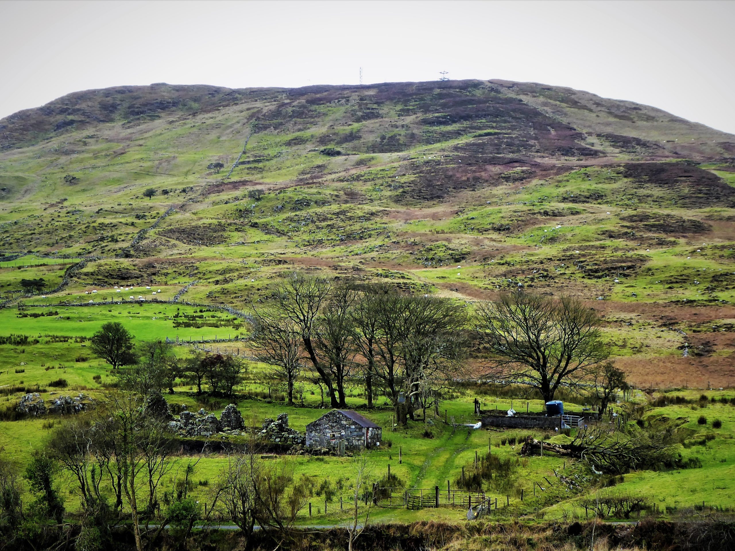
Find Out MoreLeave the car park and turn right onto Drumnaquoile Road which soon morphs into Castlewellan Road. It’s not a busy road, but it does attract a modicum of traffic. Slieve Croob rises up to your left with abandoned homesteads at its foot.
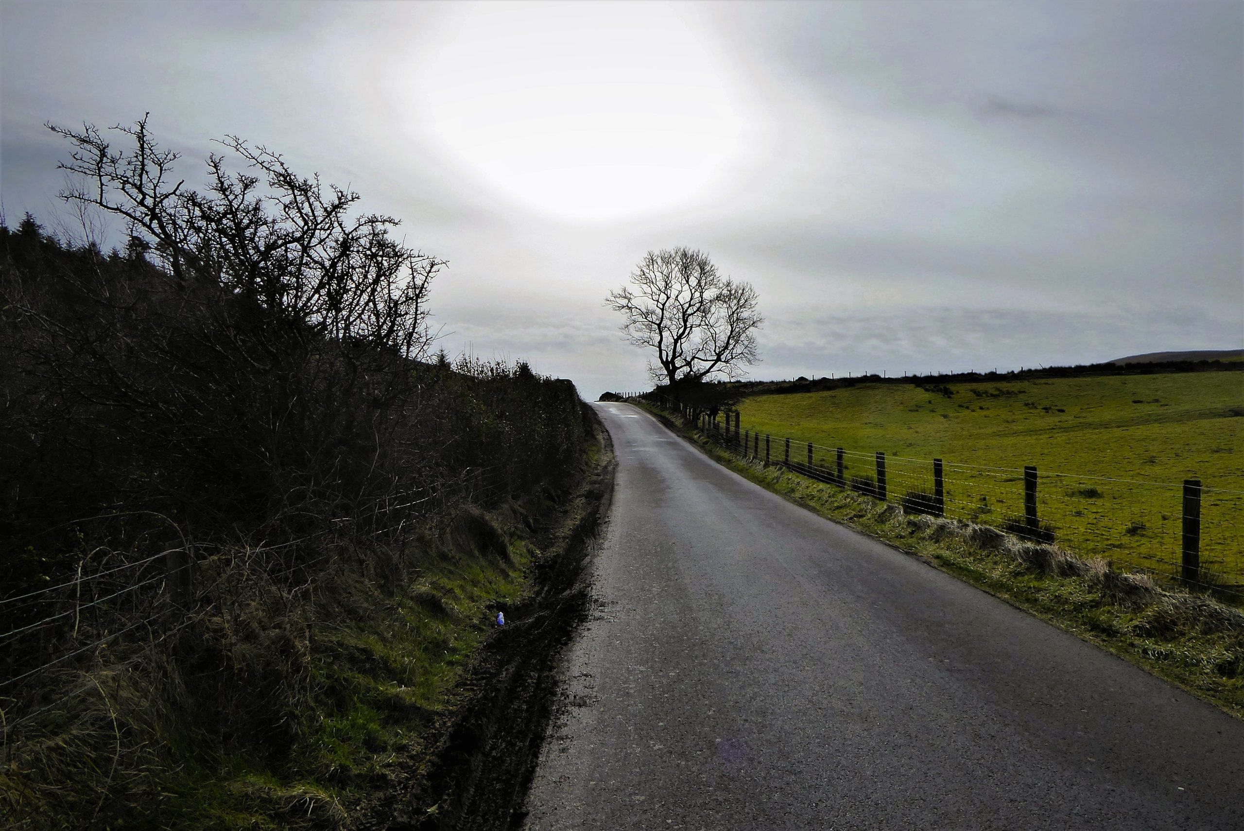
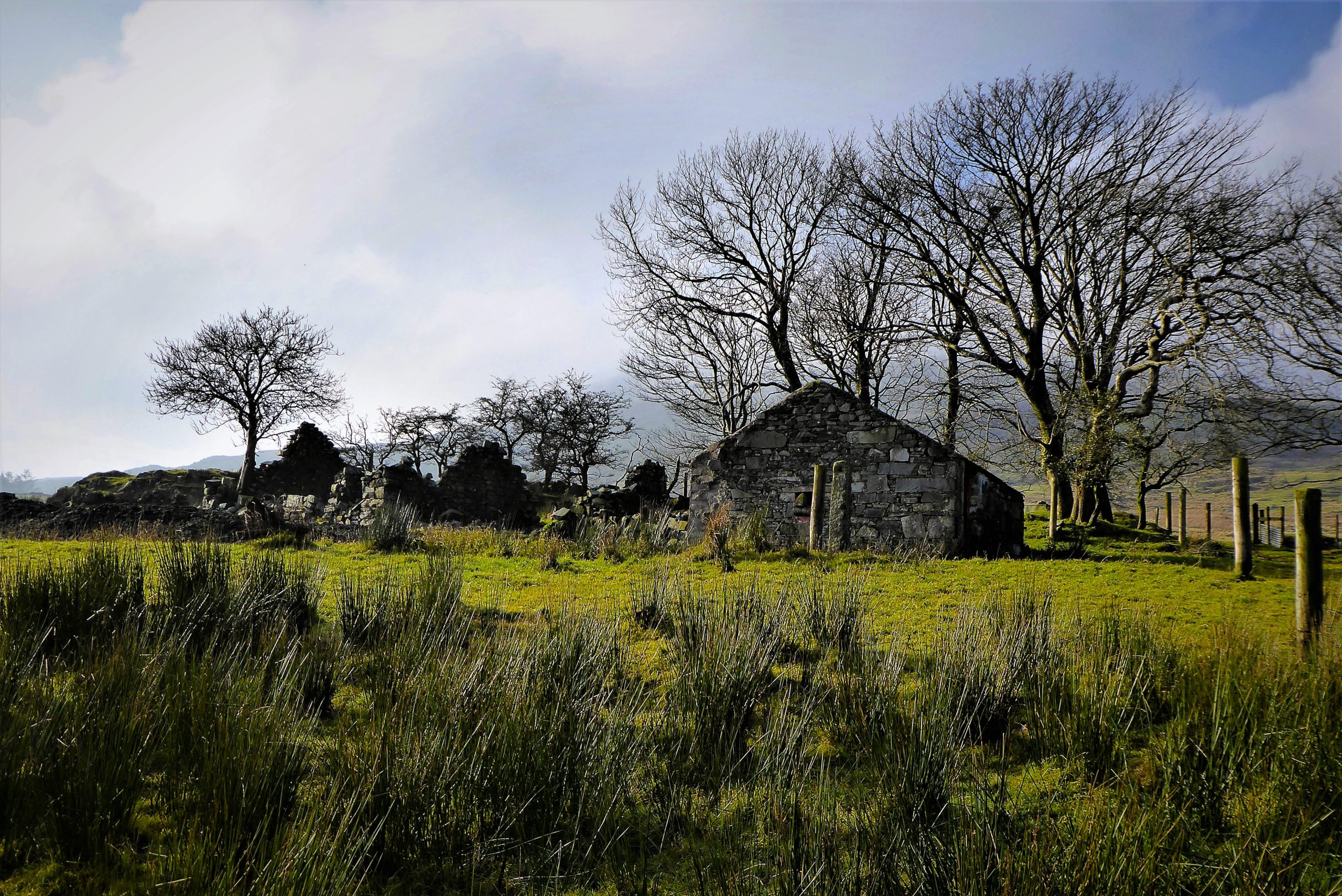
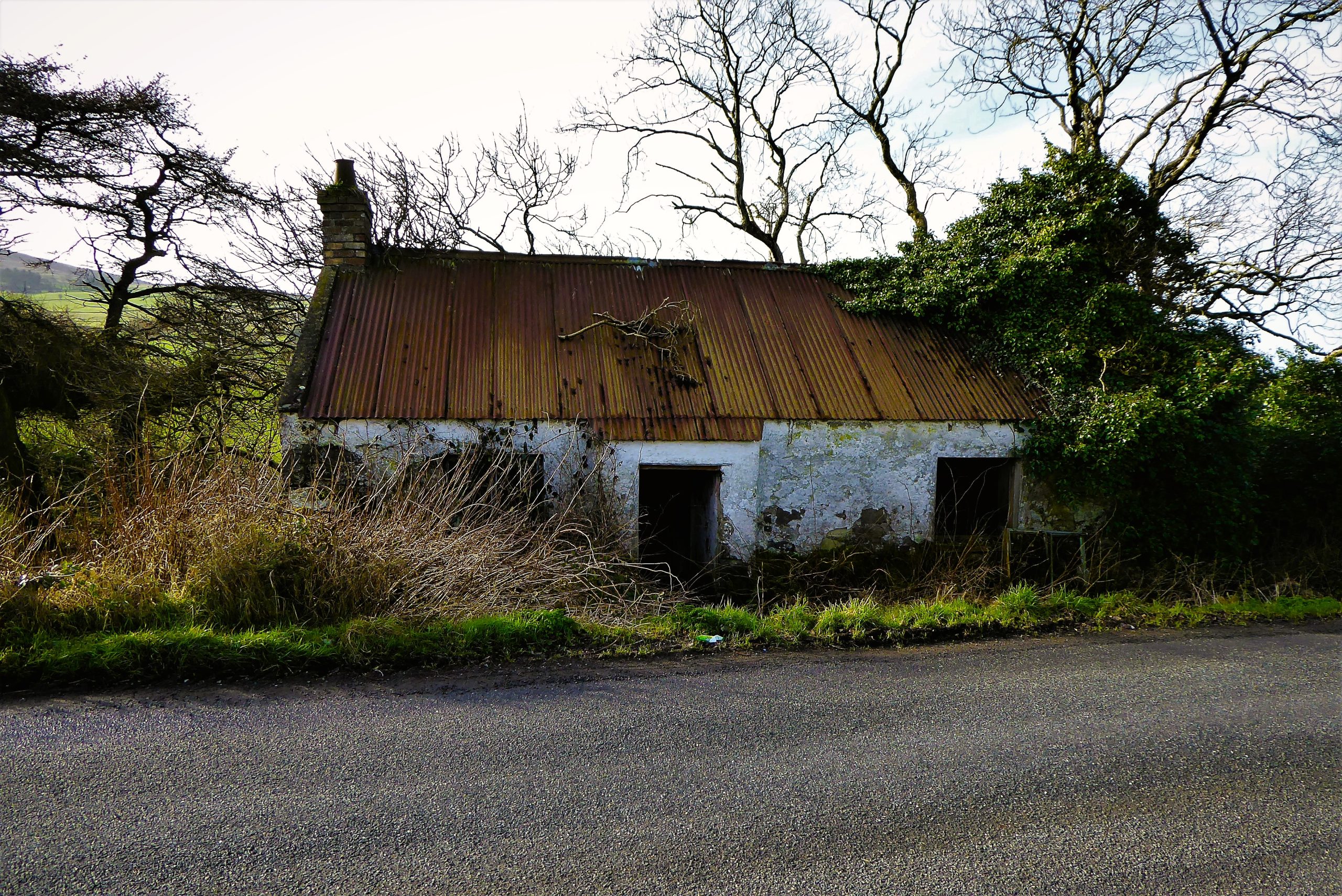
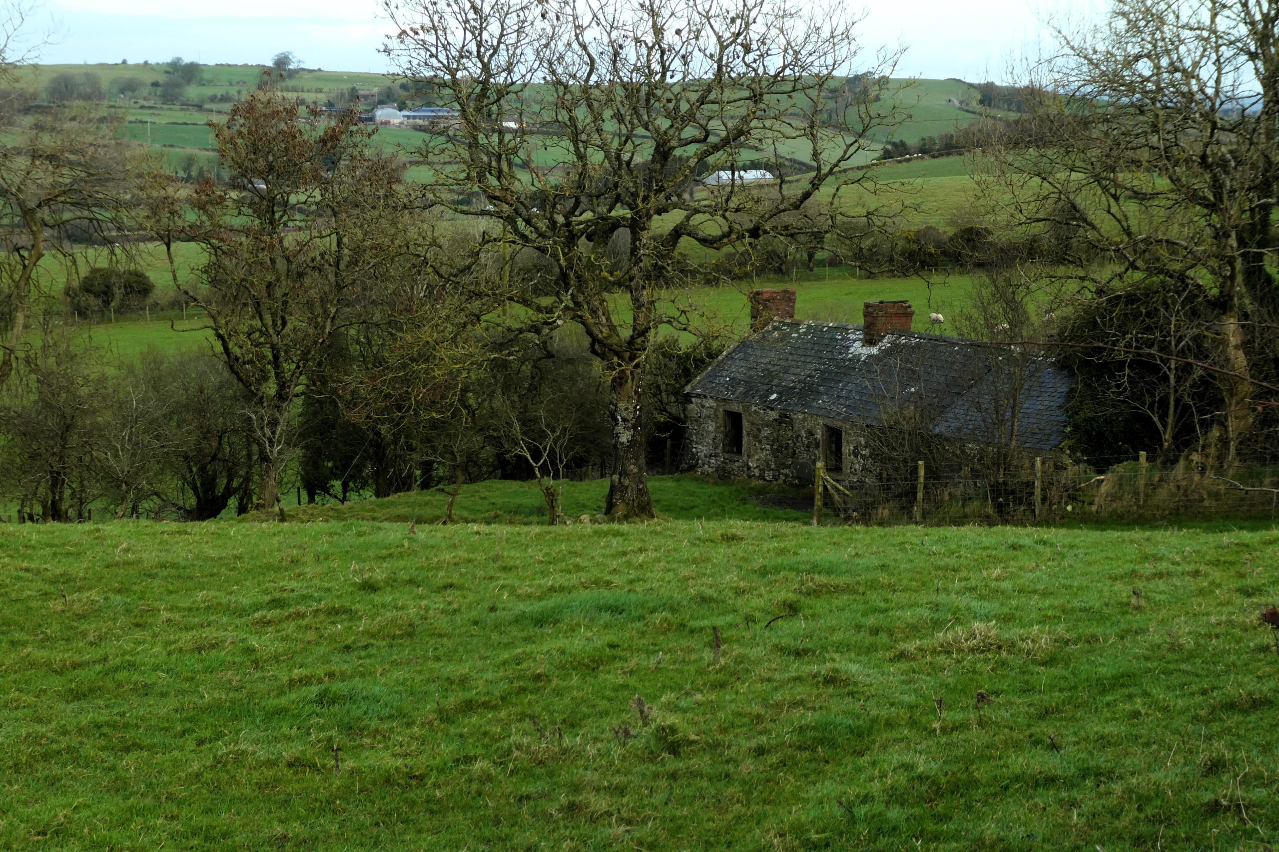
Drumnaquoile Road becomes Newcastle Road after its junction with Drumboy Road. It’s all downhill at first as you pass occasional modern, architect-designed dwellings which are outnumbered by the decaying remains of abandoned farmsteads and cottages, testament to the harsh landscape that defied those trying to extract a living from the land.
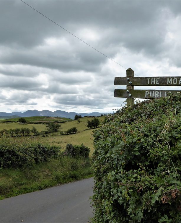
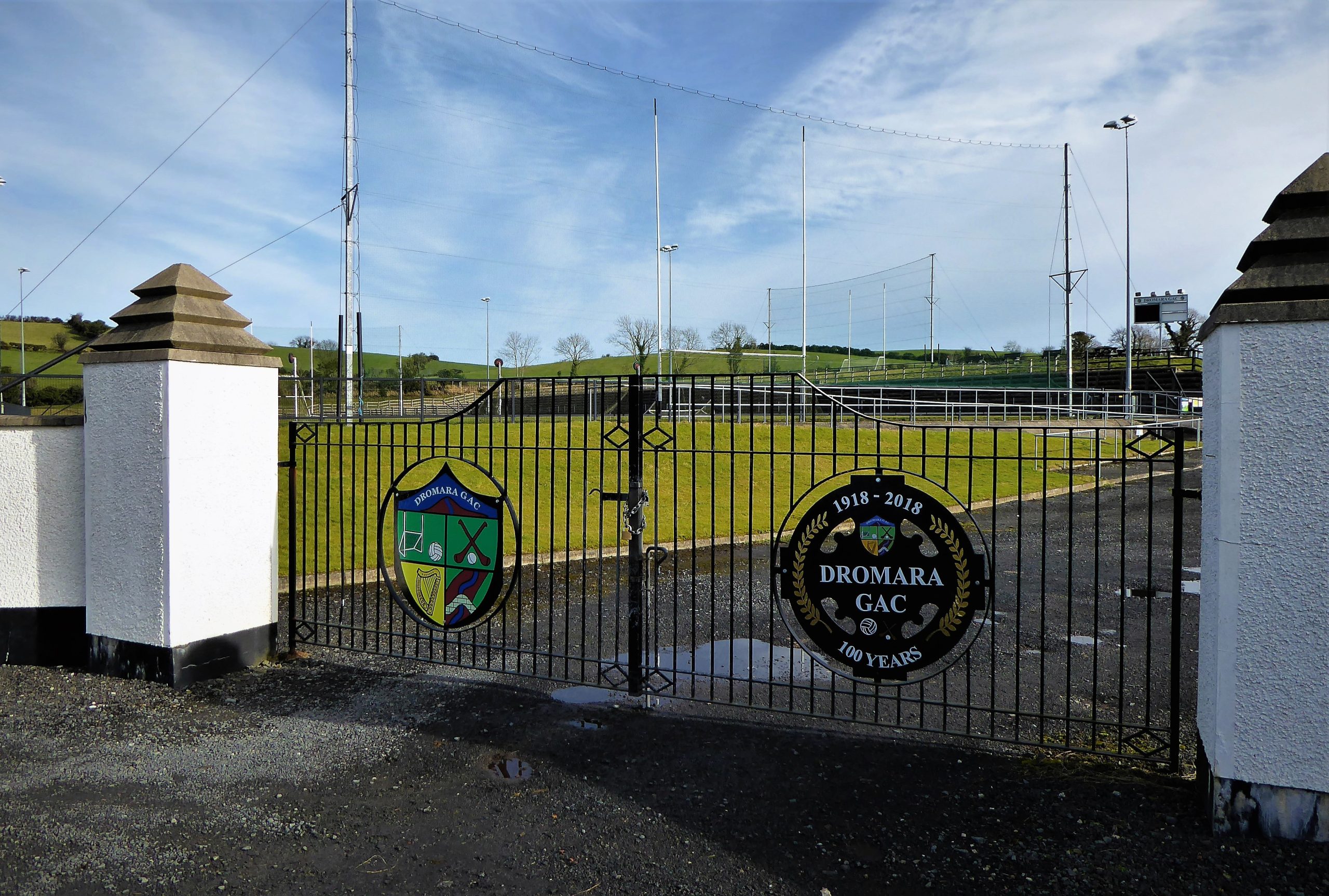
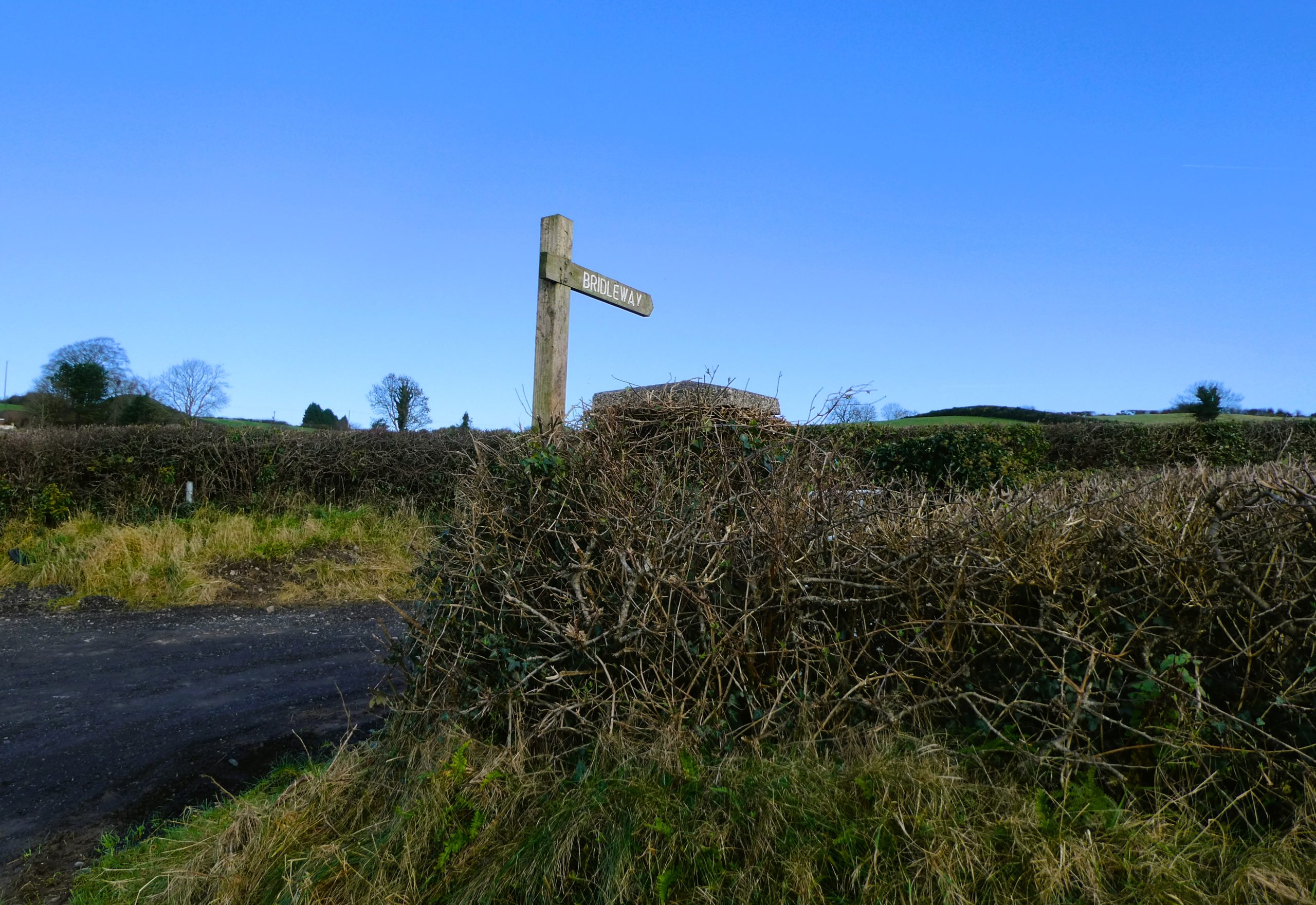
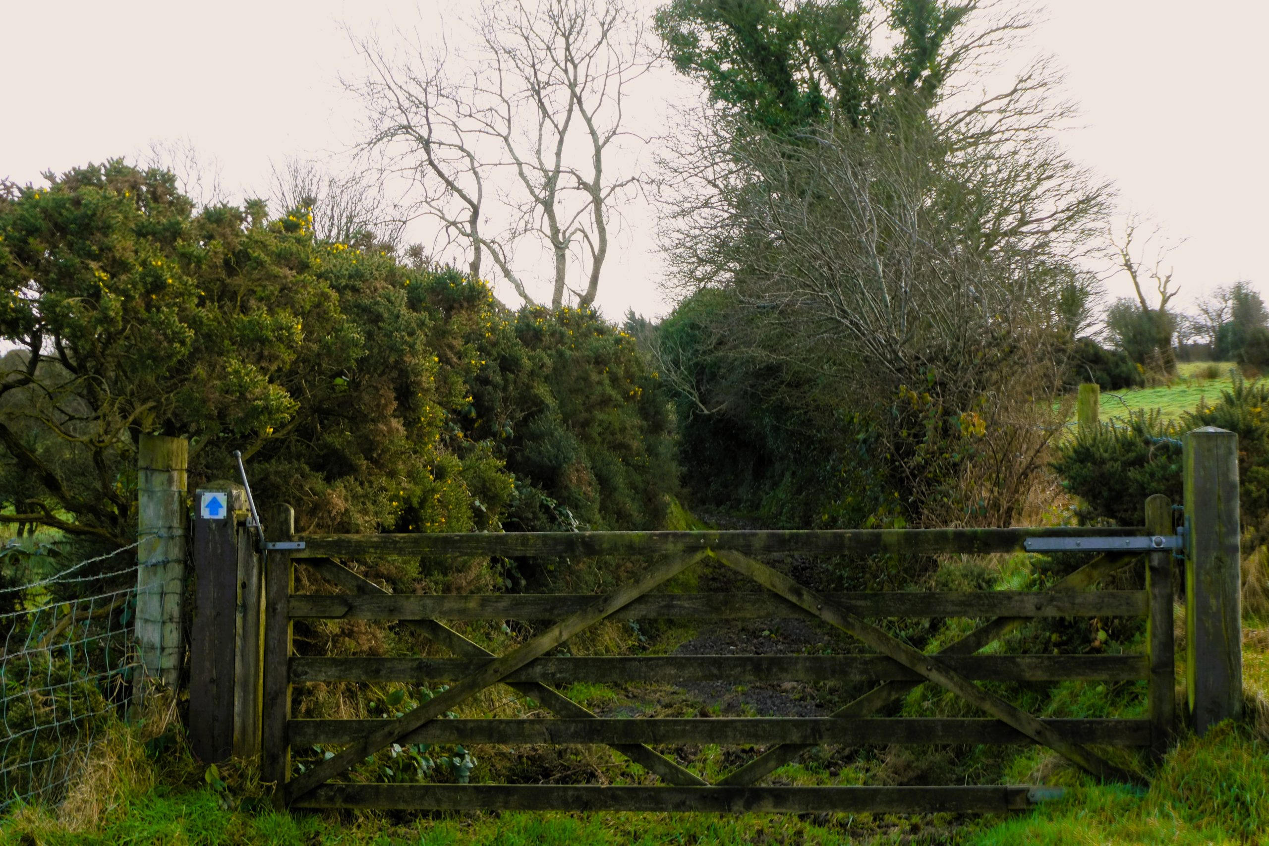
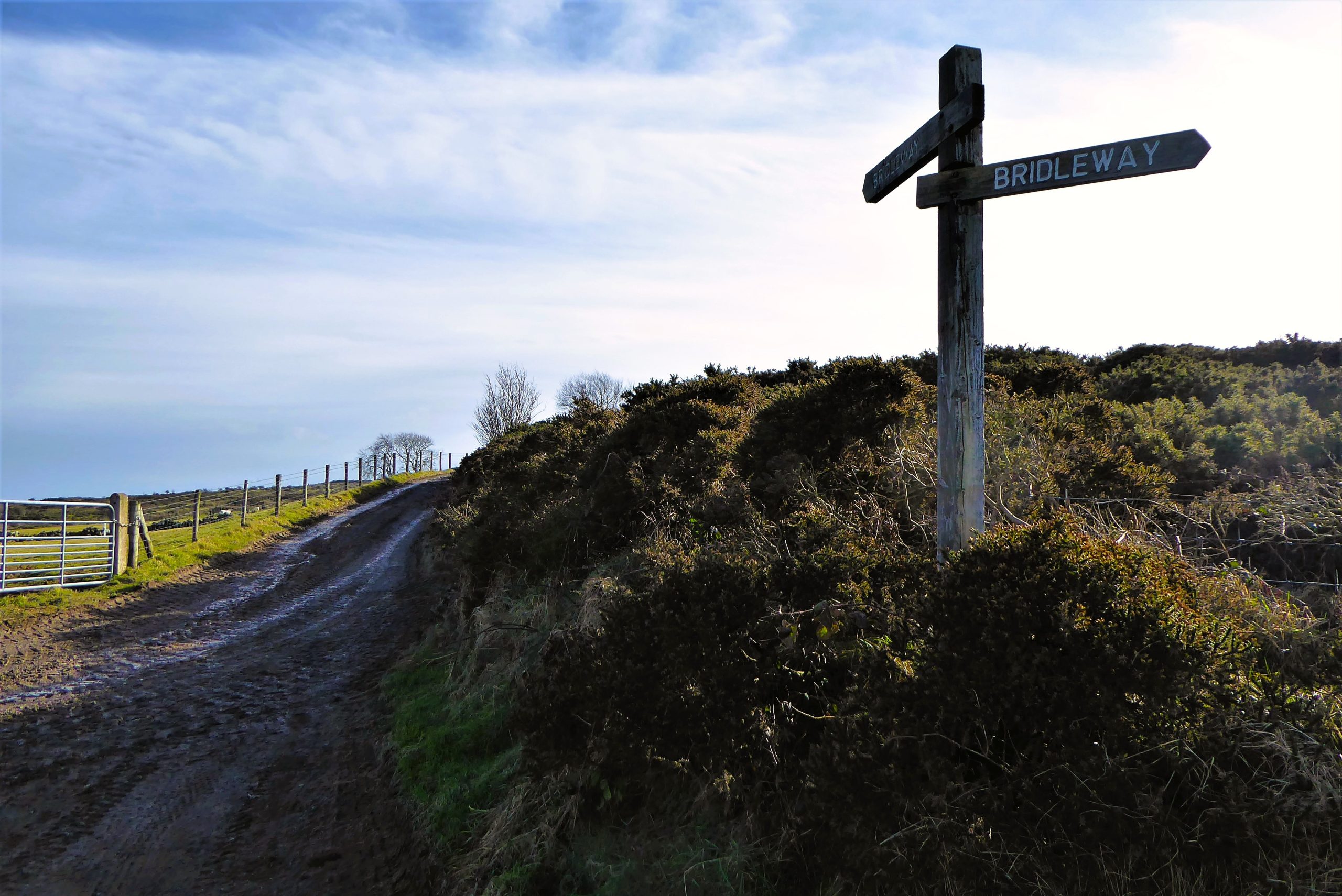
After about 3km of easy, mostly downhill walking, you arrive at Dromara GAC grounds. Look out for a bridleway sign for Darby’s Loanin on the right about 300m past the grounds.
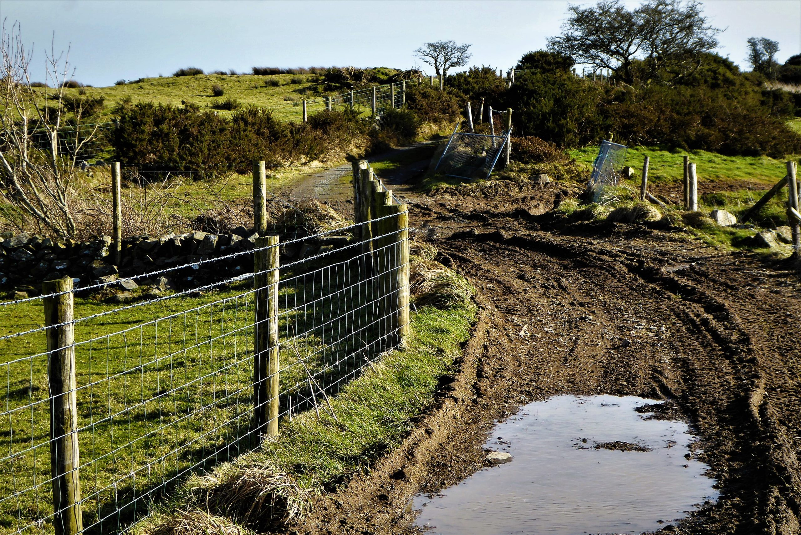
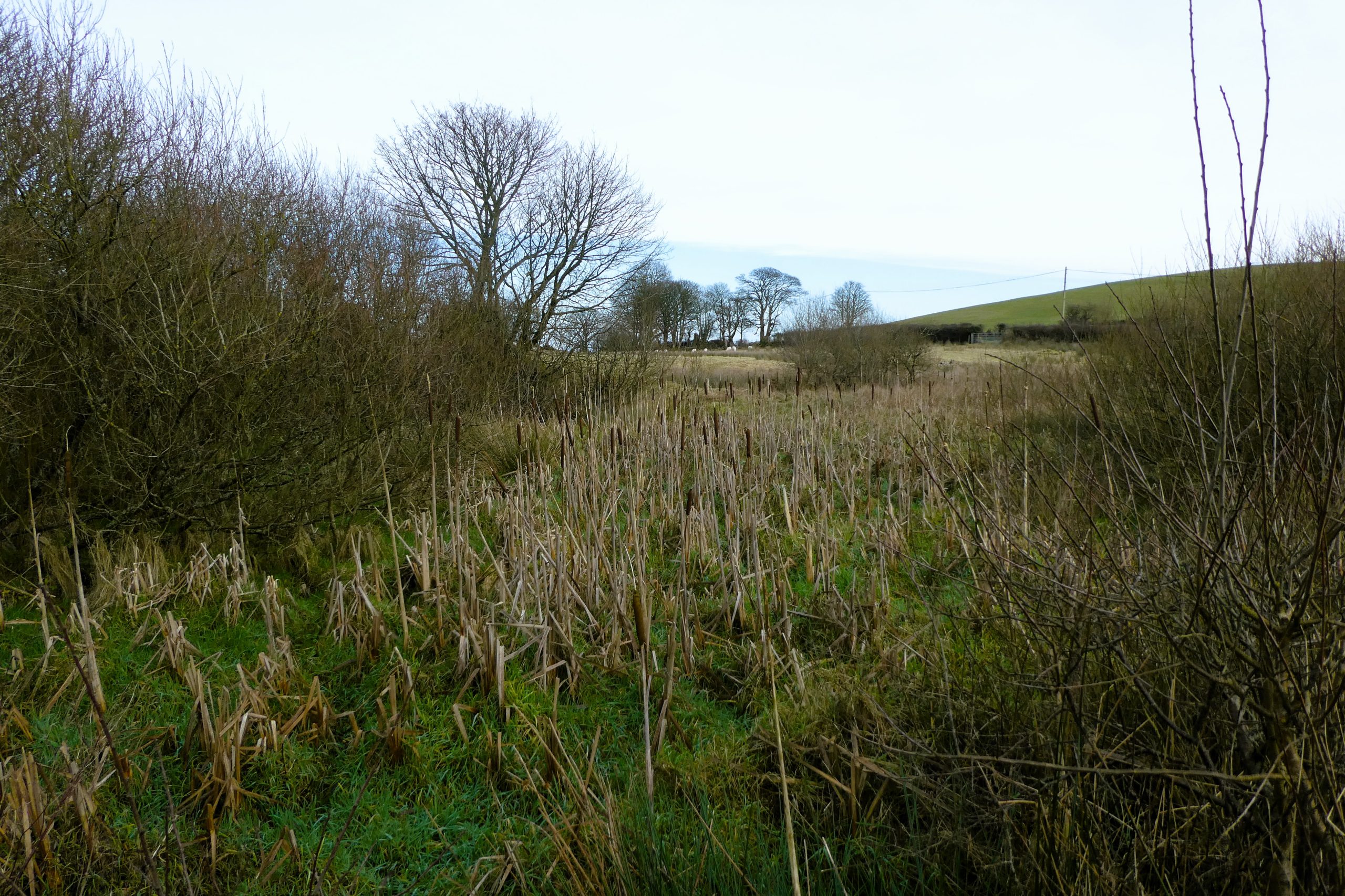
The path starts off well, dry, on a good surface with attractive open countryside on the left. However, as it passes a house and reaches double gates, ground conditions can deteriorate depending on the season and weather conditions, with mud and water often making walking difficult.
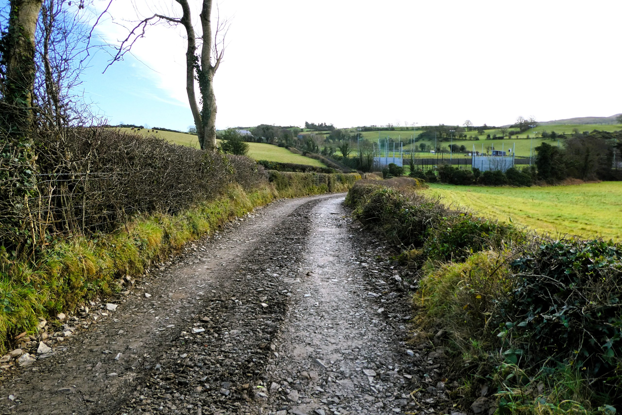
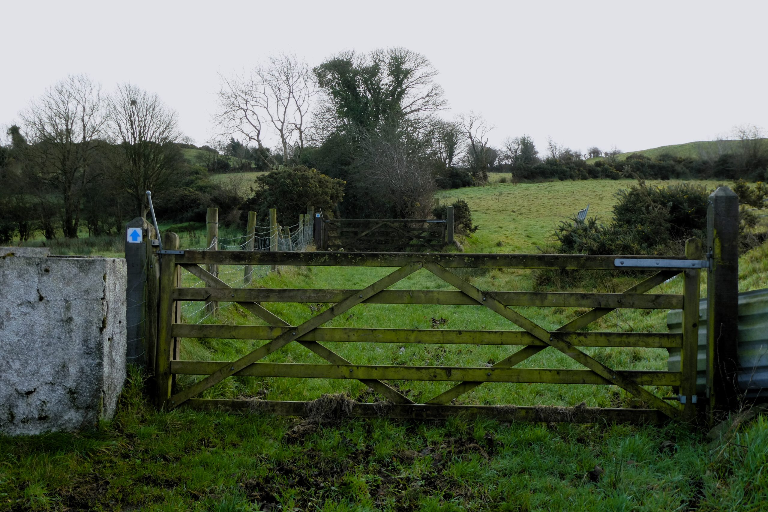
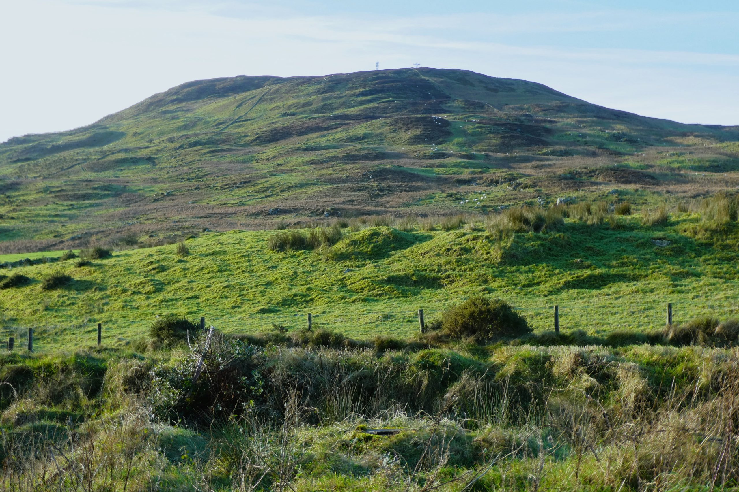
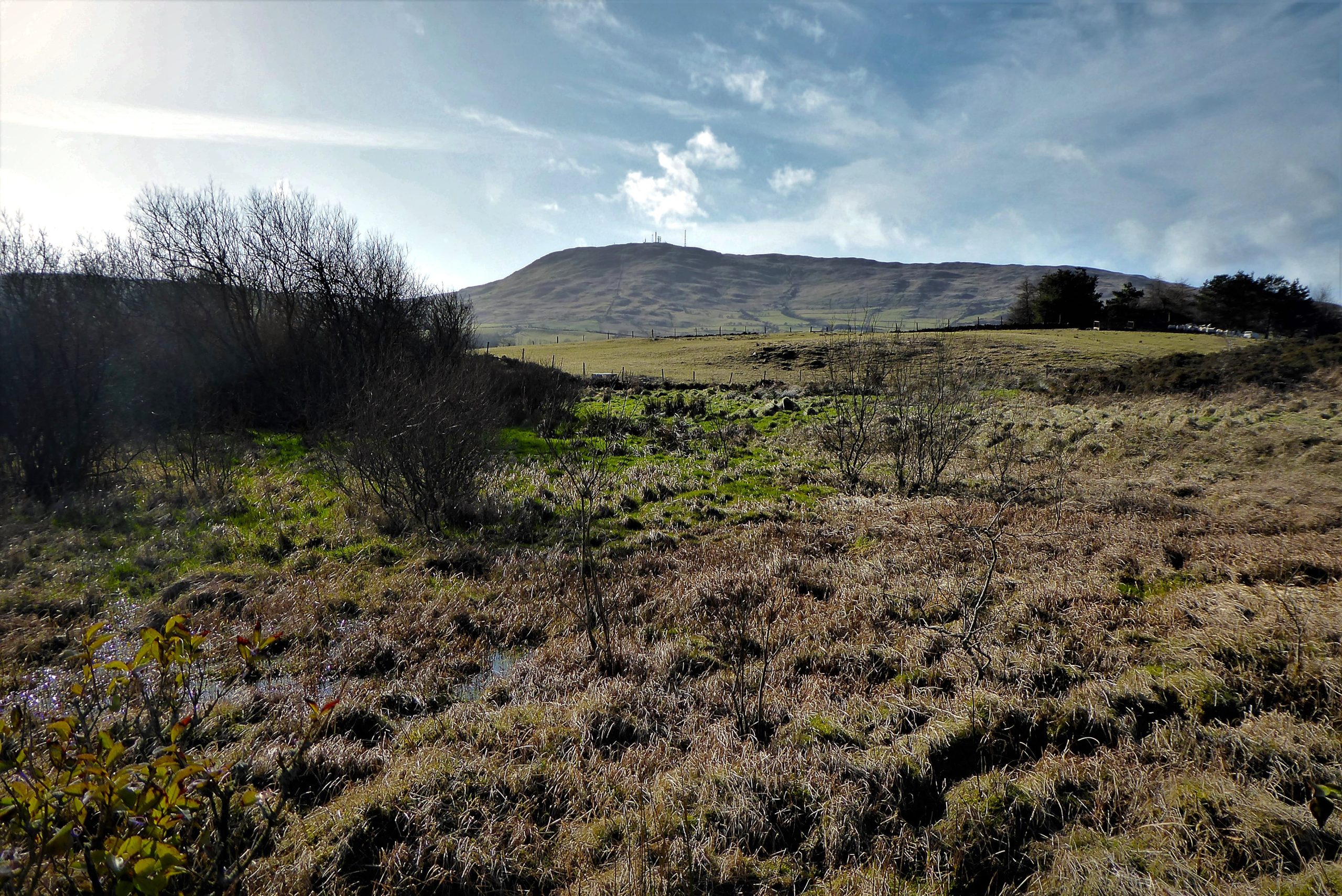
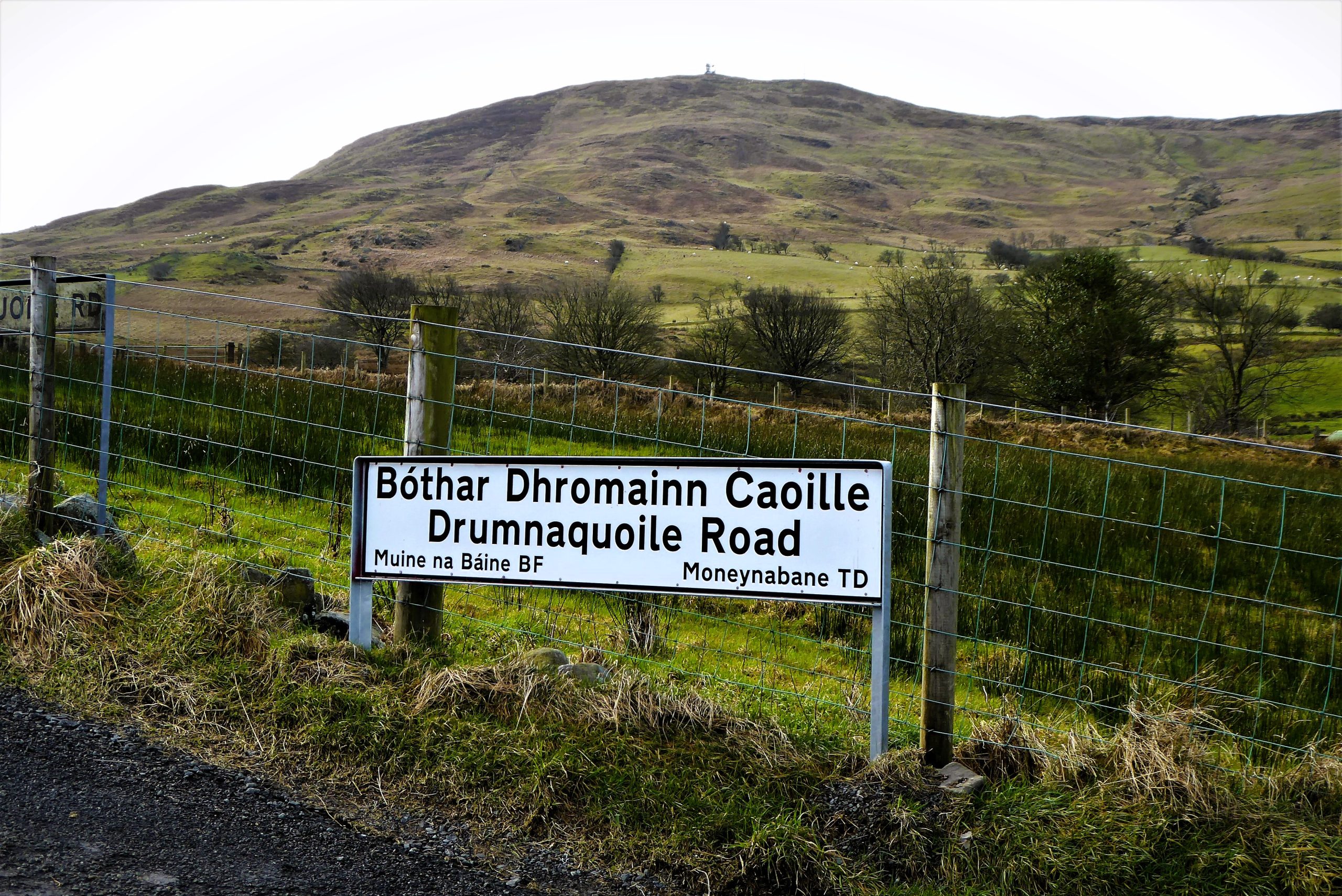
The path is enclosed by hedging on both sides as it makes gentle, but often muddy, uphill progress until it dries out slightly before arriving at another gate. The gate leads to a road and a fine view of Slieve Croob. Turn left onto Moneynabane Road at the bridleway/Darby’s Loanin sign.
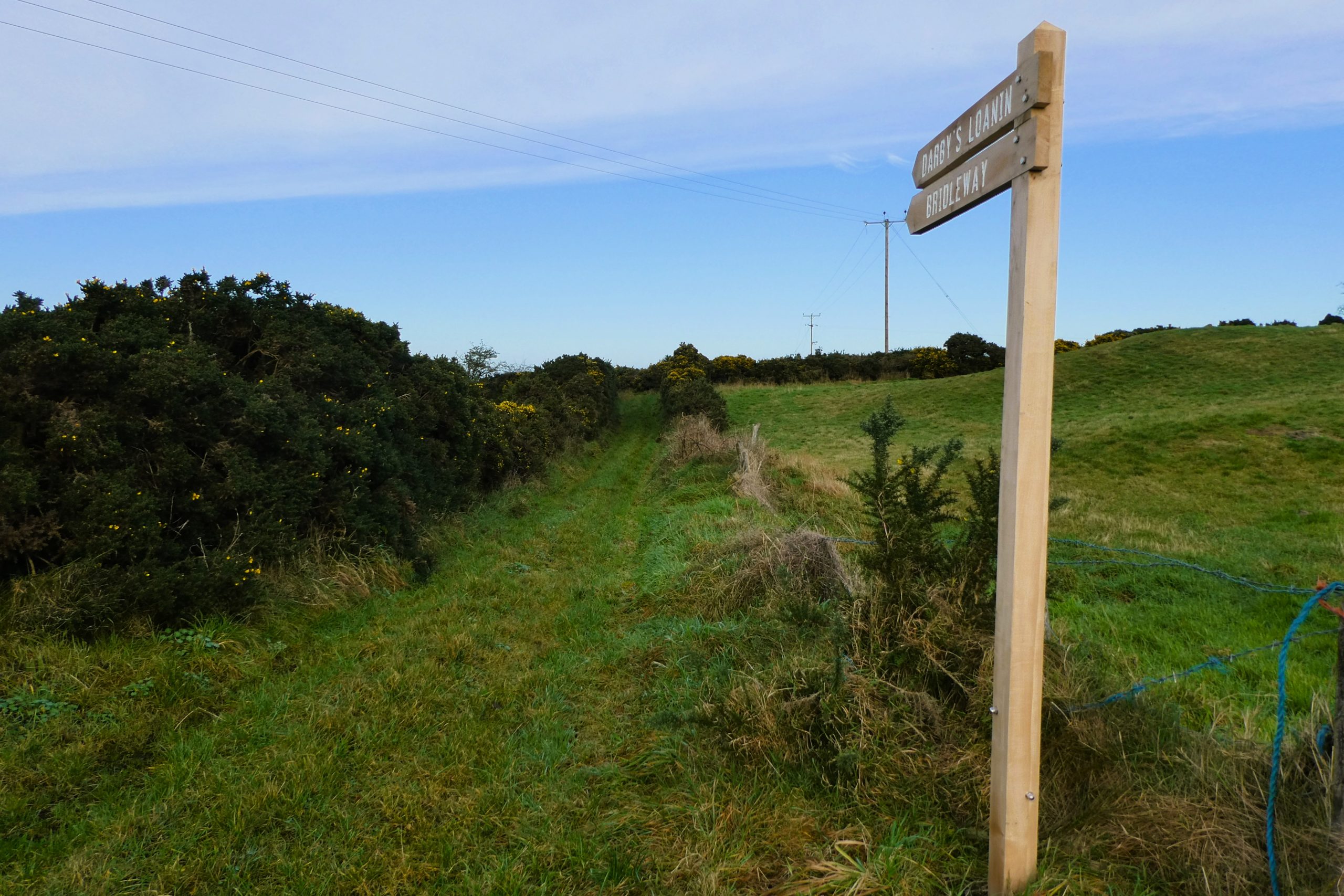
Moneynabane Road is very quiet and it would be rare to meet more than a tractor or two in the 600m to the next turnoff. On the left, you should be able to make out the Belfast Hills if visibility permits. At the bridleway sign, turn right onto Glen Loanin. It is not marked as Glen Loanin on the sign, but both it and Darby’s are given their full names on the OS Maps.
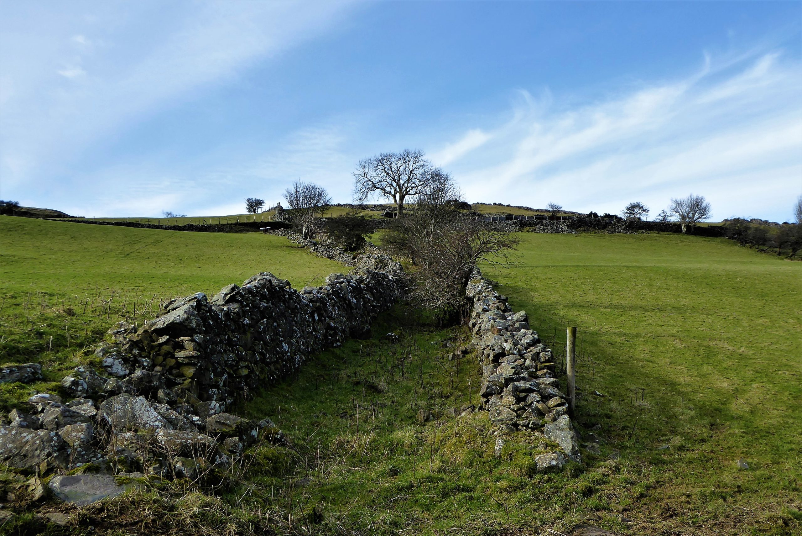
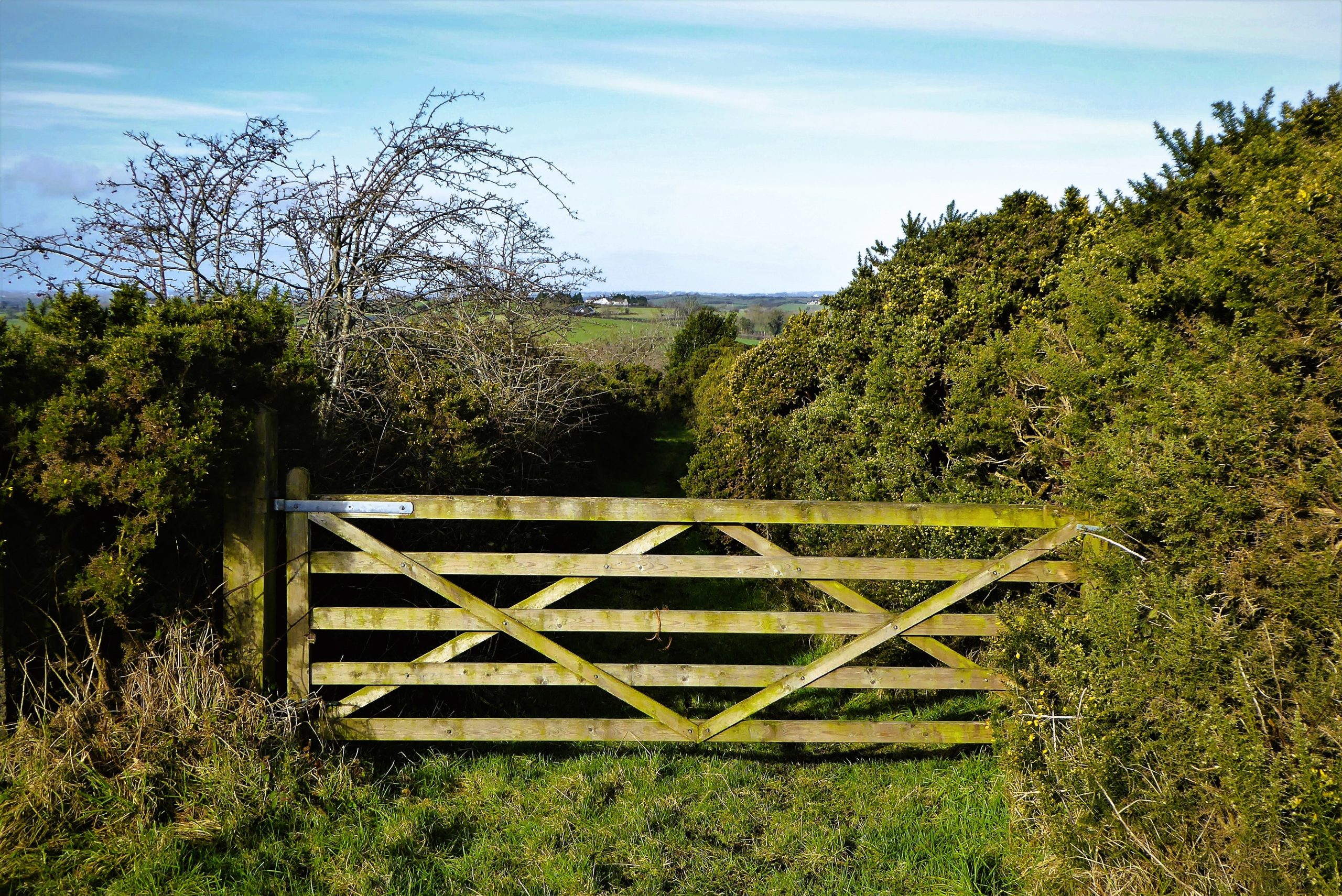
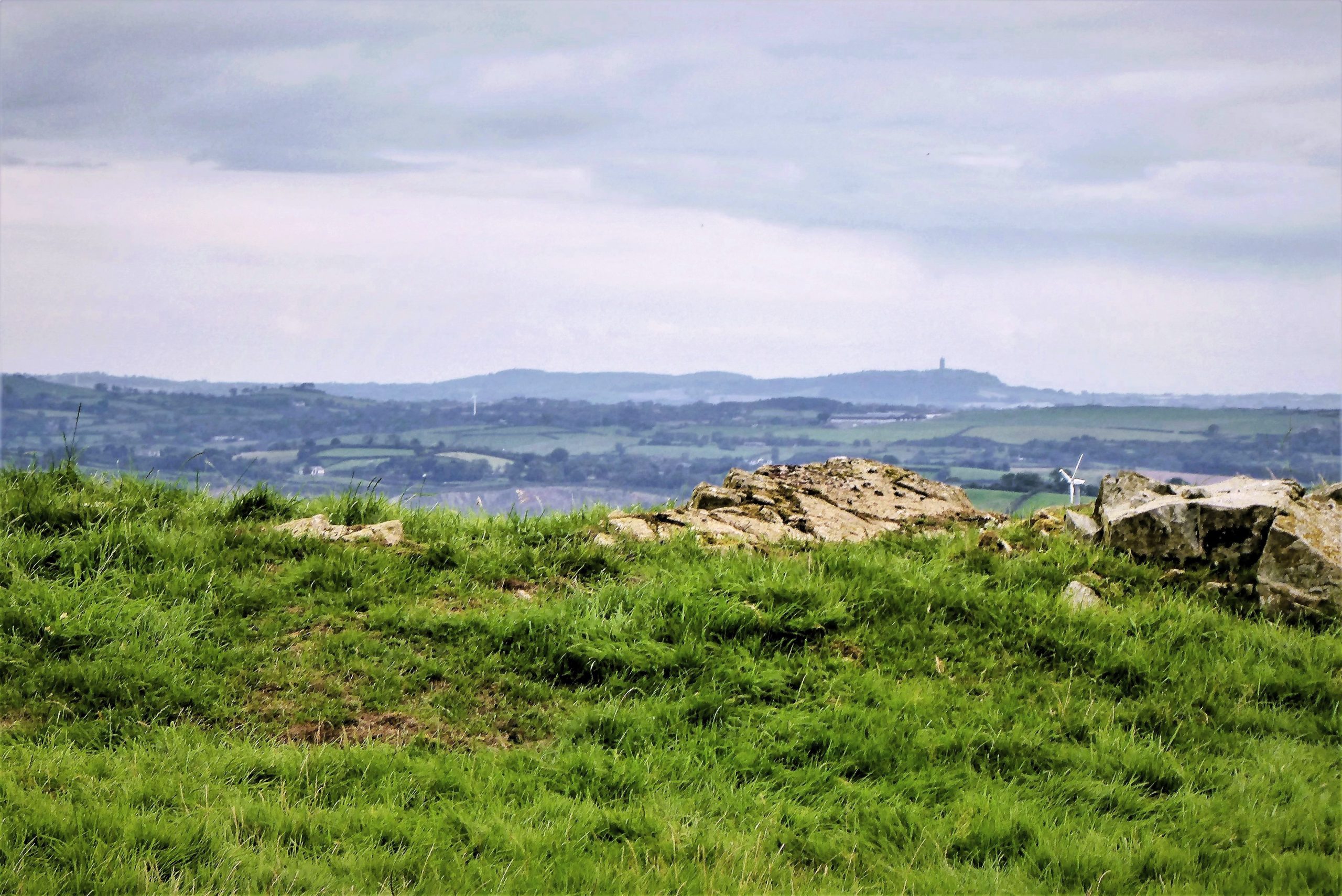
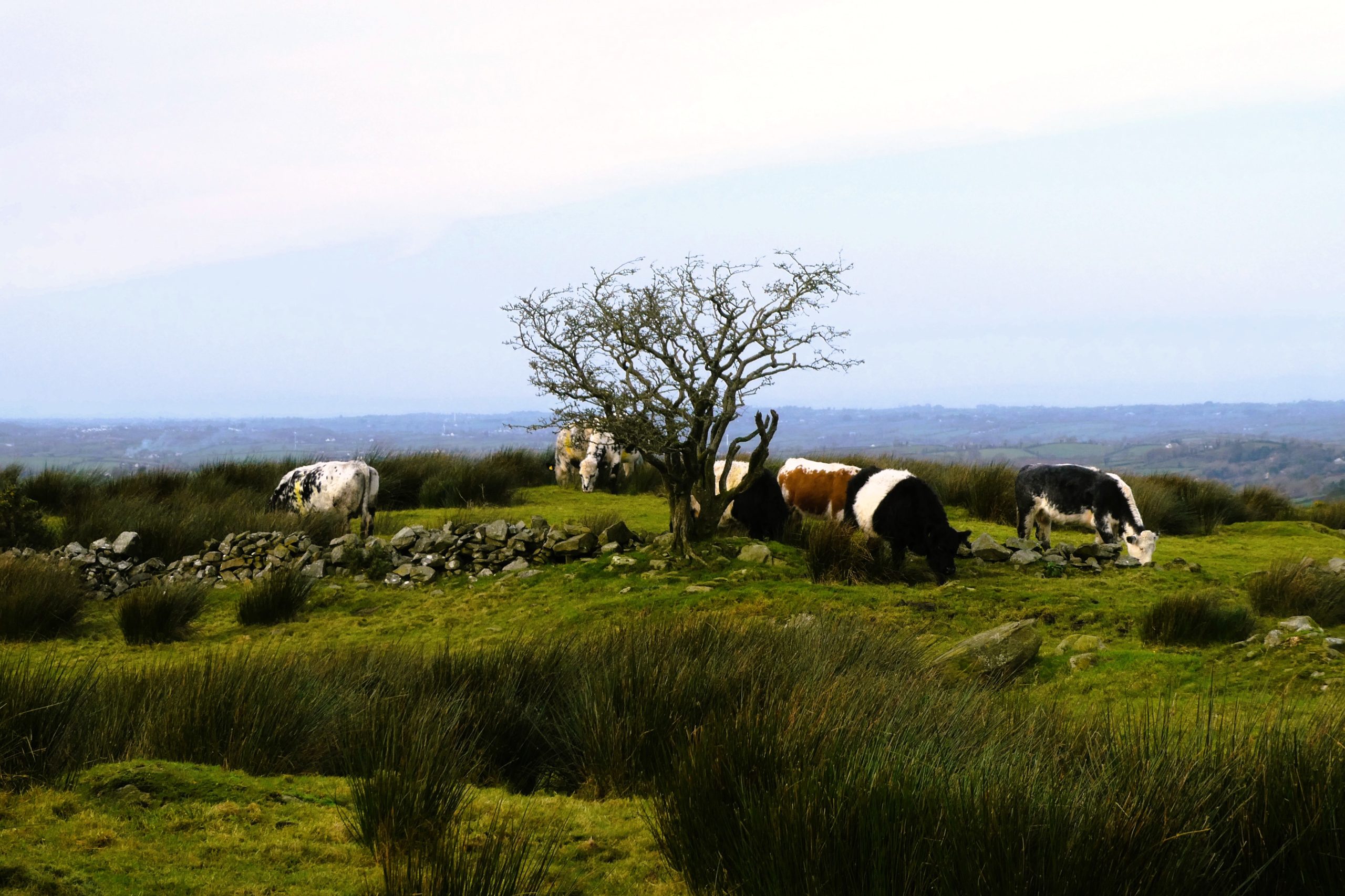
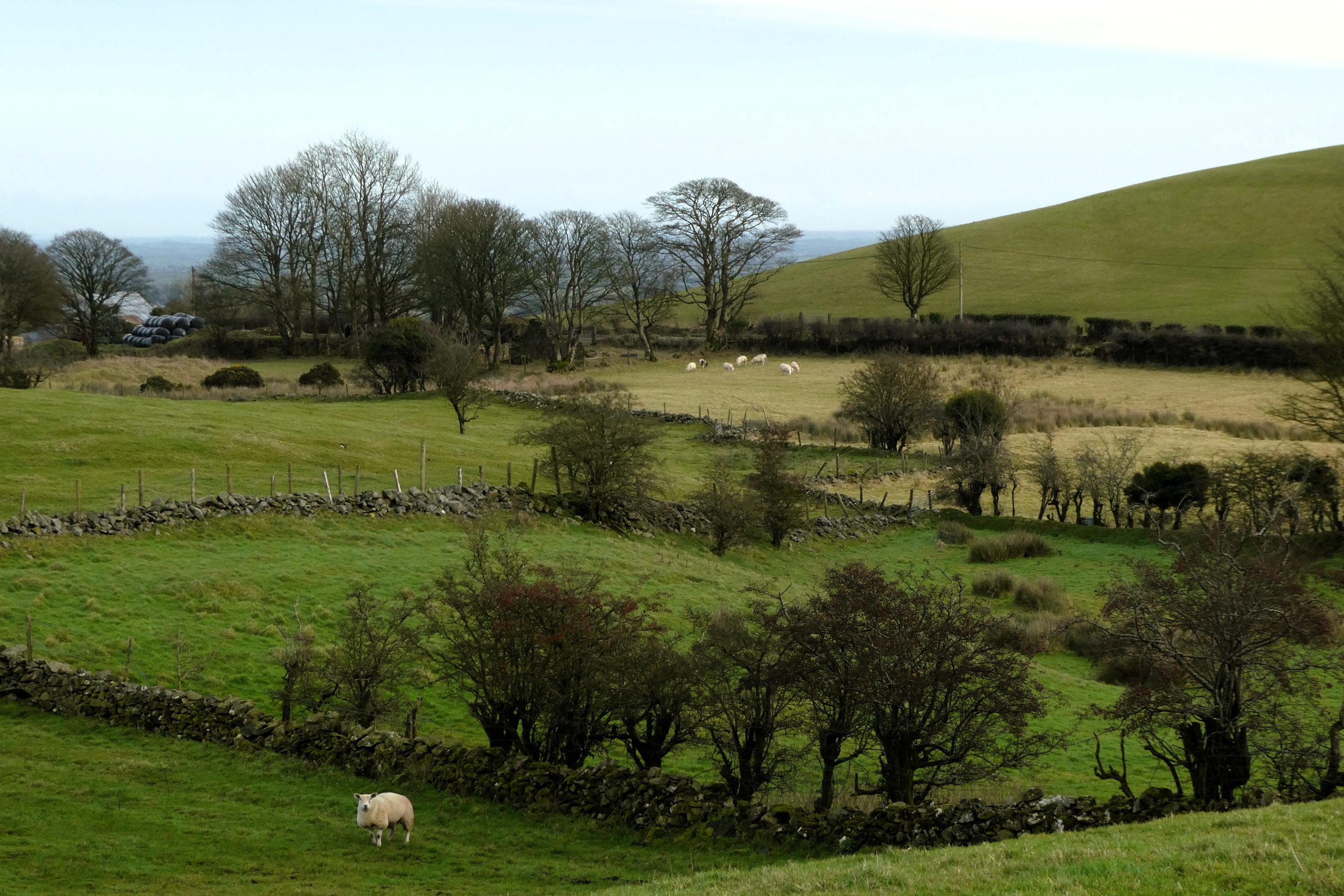
Glen Loanin is not quite as muddy as Darby’s and is generally a little wider. It’s also more airy and open with good views of Slieve Croob on one side and sweeping countryside with fields of sheep and cattle on the other. On a clear day, Scrabo Tower can be seen on its promontory overlooking Strangford Lough. In spring and summer the flowering gorse bushes embellish the path with beautiful yellow borders, while all year round the stubborn hawthorn trees bend to the will of the wind without ever surrendering.
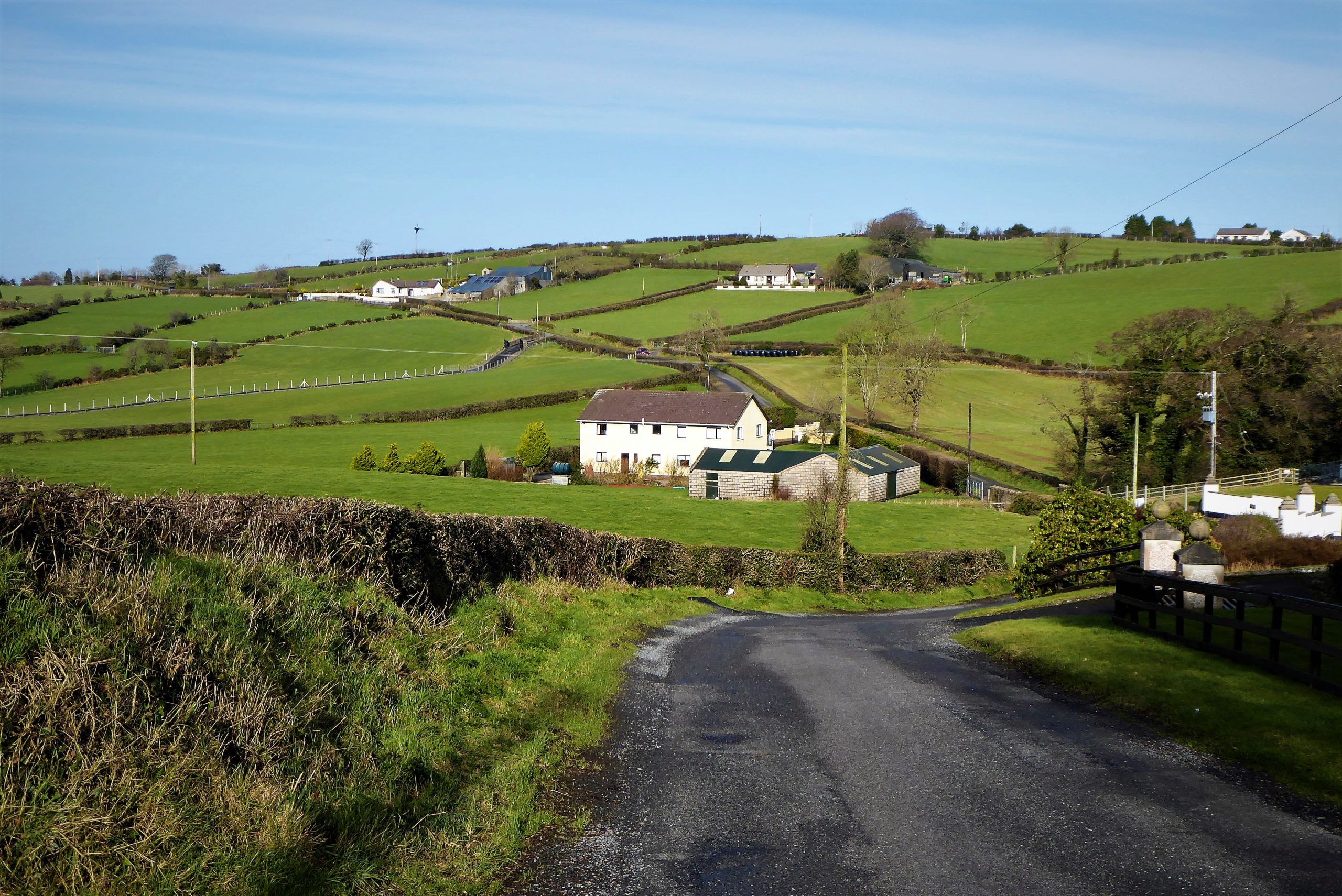
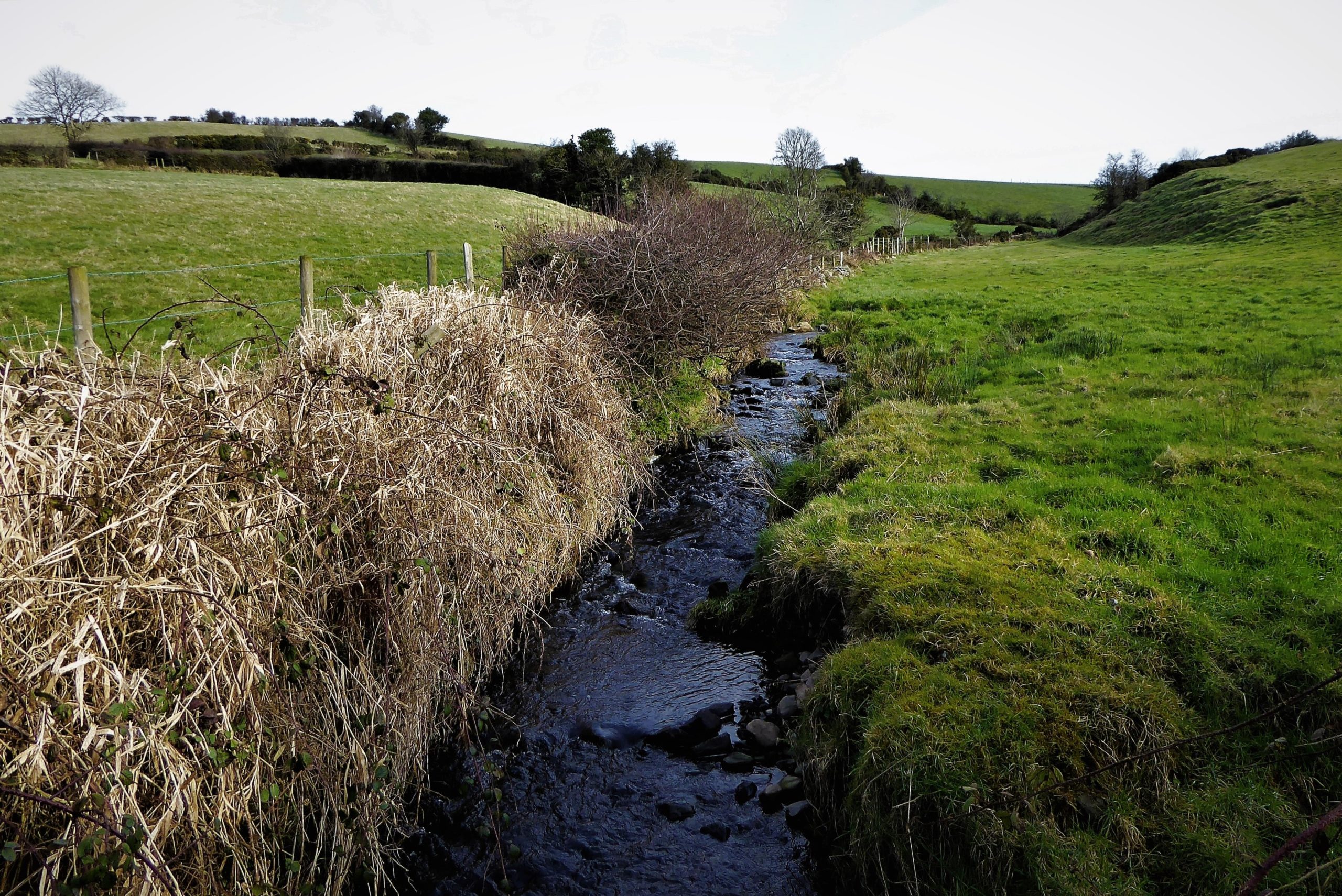
In just under 1km along the path, a recently refurbished farmhouse on the right marks the start of a gentle descent to Drumboy Road. A small wetland area at the bottom of the path signals the end of the loanin and the start of the road.
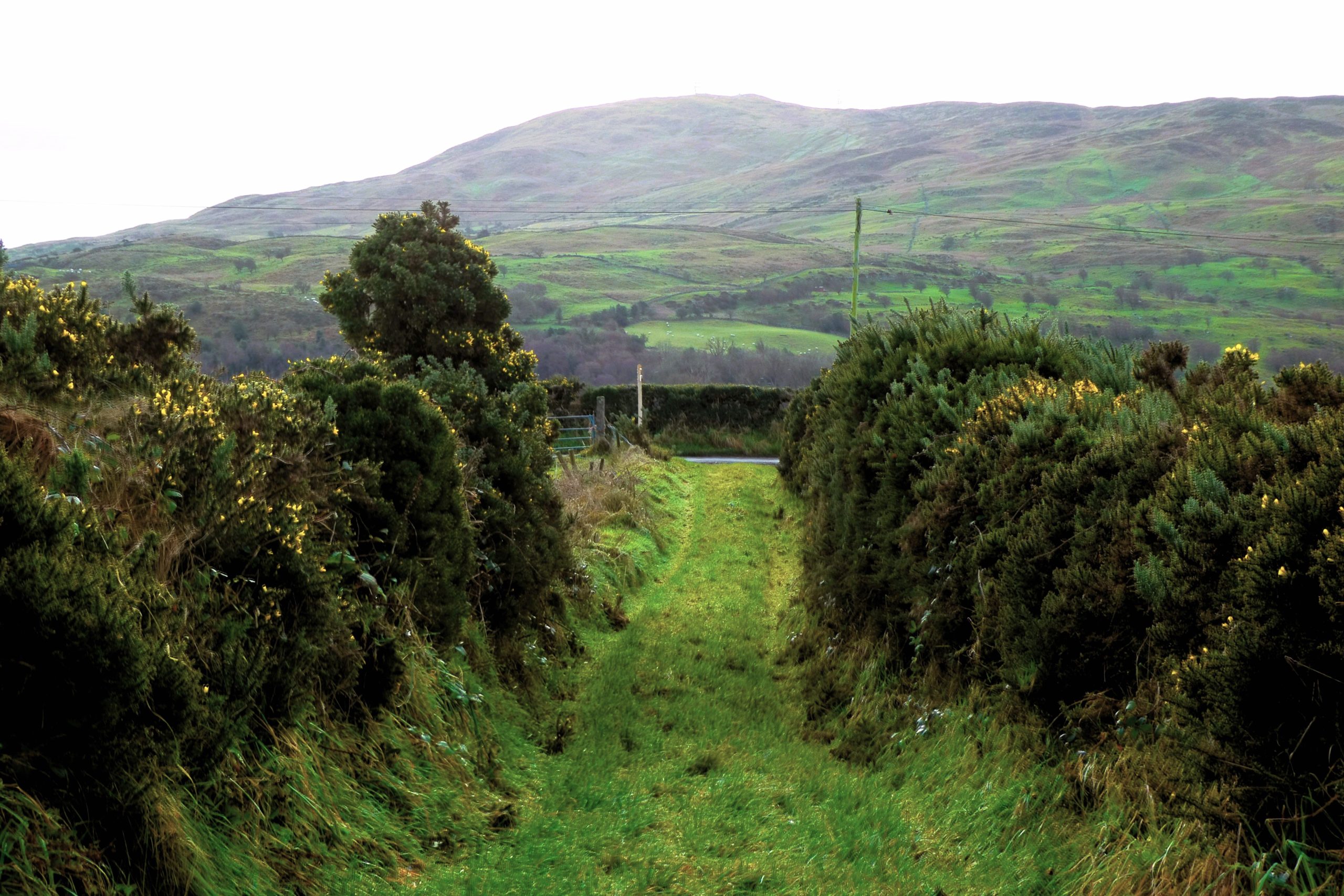
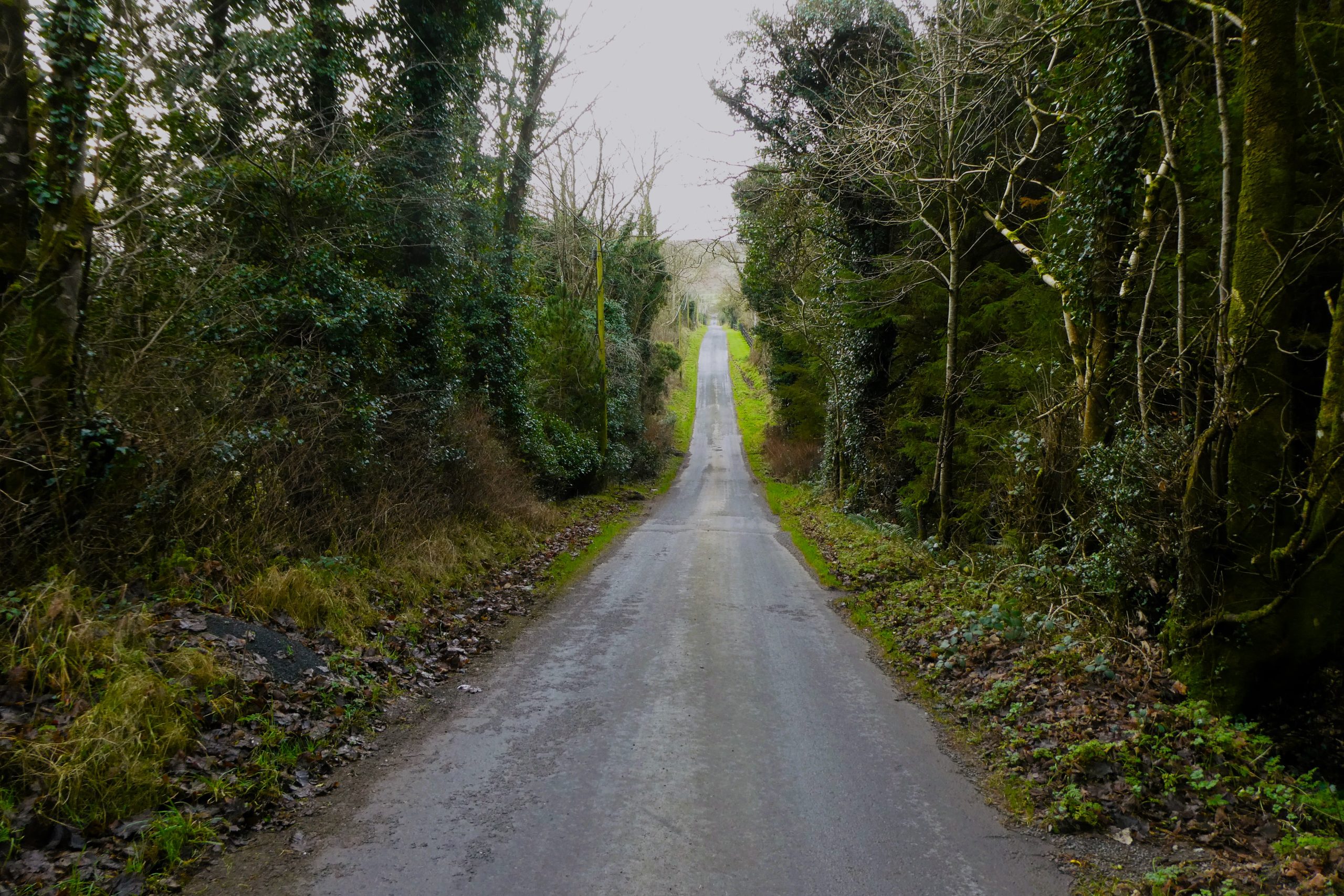
The last 2km take place on roads, first the very quiet Drumboy Road, which ends with a testing hill before joining Drumnaquoile Road where a left turn and a short stroll returns you to the car park and a last look at Slieve Croob.
READ: Willow and Lore: a Whimsical and Welcoming Location.
Find Out MoreThere are a number of options, none particularly straightforward. One of the less complicated approaches is to take the Castlewellan Road from Dromara. About 3½ miles out of Dromara, the entrance to Drumkeeragh appears on the left, roughly opposite the north-western slopes of Slieve Croob.
December 2023
8km (5 miles)
2 to 2½ hours
OSNI Activity Map: The Mournes (1:25000)
OSNI Discovery Series: Sheet 20 (1:50000)
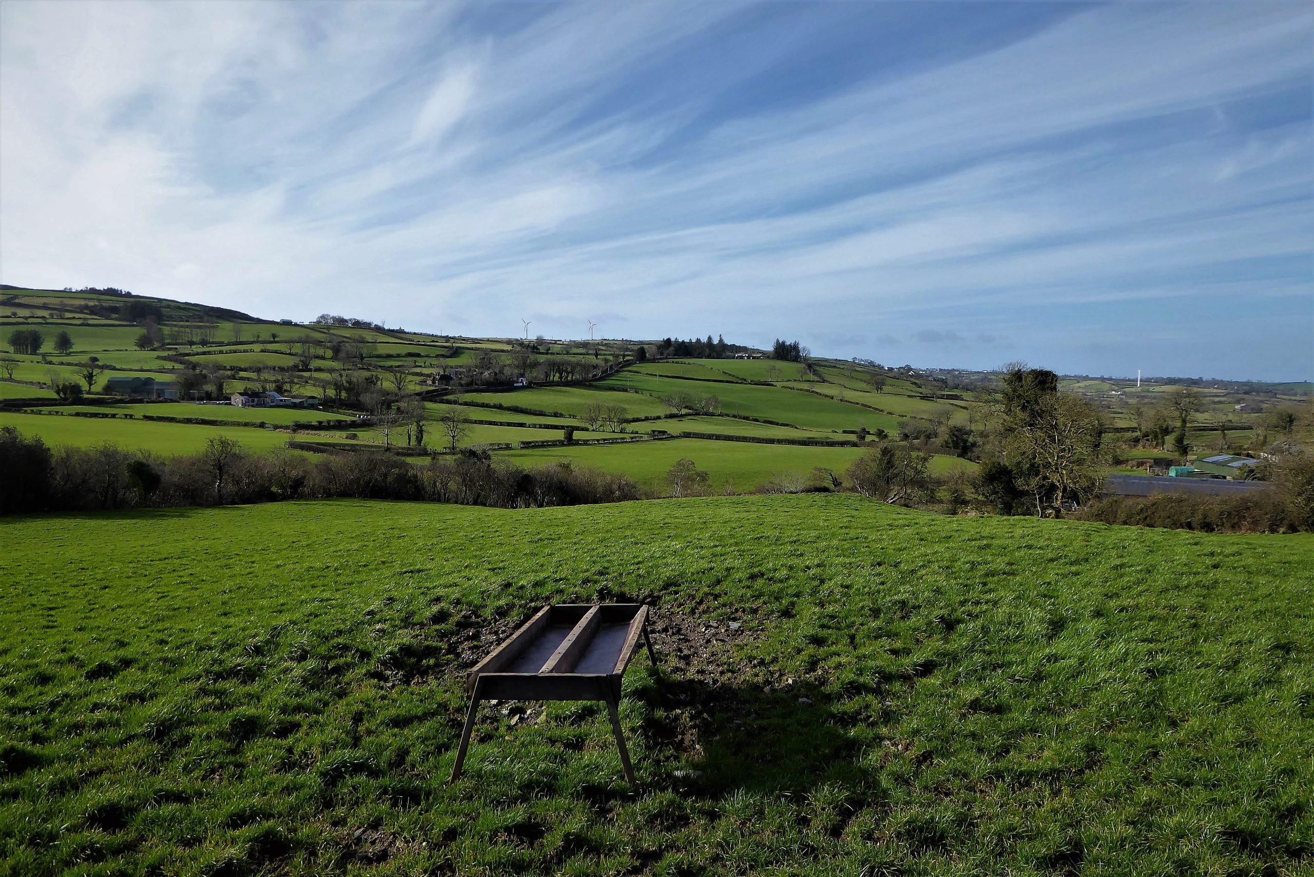
…you enjoy a walk in attractive countryside and quiet roads. There is only one serious hill as Drumboy Road rises to meet Drumnaquoile Road. It would be unusual to meet other walkers, so being comfortable in your own company would be an advantage. The walk benefits from good weather conditions as the views are superb, Slieve Croob being a highlight, but the Belfast Hills, Strangford Lough and Scrabo Tower are all part of the landscape tableau in good visibility.
A loanin (or loaning) is an Ulster-Scots word roughly equivalent to the Irish “boreen”. According to Wikipedia: “To be considered a boreen, the road or path should not be wide enough for two cars to pass and has grass growing in the middle”. This description could certainly be applied to most of the loanins that form part of the off-road walking network in Northern Ireland. It seems that in Scotland a loaning was a piece of uncultivated ground where cows were milked and a loan was the path to a loaning. Many Scottish street names include Loan, as in “Dobbie’s Loan” in Glasgow.
A pad seems be another word for path, most paths known locally as pads being fairly rough and unformed but usable and normally open to the public. (other theories are available).
The new car park has had a significant effect on visitor footfall with weekends continuing to attract large numbers of walkers. There are three signposted trails which are provided mainly on a multi-use basis accommodating walkers, cyclists and horse riders. The trails vary according to length and grade, the viewpoint trail being the longest at 7km (4.4 miles). This trail is classed as unsuitable for cyclists. The Moneynabane trail and the treetops trail are shorter at 4km (2.5 miles) and 2.2km (1.4 miles) respectively.
Several historic monuments lie within about 20 minutes driving distance of the car park, the most impressive of which is Legananny Dolmen, BT31 9TF (Grid Ref IG J 288434). The dolmen sits at the side of a narrow track beneath Cratlieve Mountain. The 4,000 year old structure commands a magnificent view of the Mournes. Its delicately balanced capstone sits on top of three unusually tall supporting stones. The dolmen remains one of the most atmospheric and evocative sights in Ireland. There is a small parking lay-by on Dolmen Road a few metres walk from the monument.
In a field at the other end of Dolmen Road, just before it meets Kilnhill Road, sits Legananny Pillar-Cross, BT31 9TF (Grid Ref IG J 303427), an early Christian standing stone surrounded by the remains of a small burial site. Again, the Mourne Mountain backdrop invests the stone with a unique aura.
To round off your visit, Finnis Souterrain, known locally as Binder’s Cove is located off Carrigagh Rd, BT25 2HS (Grid Ref IG J272442). The souterrain dates back to the 9th century. It consists of a main passage of around 30m long and two straight side passages on the right hand side, each approximately 6m long. The walls are built with dry stone masonry and the roof comprises large flat stone lintels.

Derek, 76, spent 35 years working in national, academic and public libraries, followed by 14 years in the wine trade. He only began serious walking in his 60s, although he had previously travelled many miles on foot pursuing his favourite hobby of fishing. After retirement, he decided to give the fish a rest and bother the hills of Ireland and Britain instead. Derek regards walking as a simple pleasure to be enjoyed, not endured, and prefers a solo hike in quiet, remote surroundings.
 Belfast,Photography
5 scenic walks around Lisburn
 Mourne Mountains
Bearnagh: Chased the sunset, caught the rain
 Mourne Mountains
Camping in the High Mournes
 Fermanagh and Tyrone
Cuilcagh: Stairway to Heaven
 Features
Every Game of Thrones Location in Northern Ireland
 Mourne Mountains
Hen and Cock Mountains
 Mourne Mountains
Leganabrachan, Millstone and Thomas: Donard’s Seaside Bodyguards
 Mourne Mountains
Percy Bysshe and Cove Caves