5 Outstanding Late Winter Hikes in the Mourne Mountains
Would you like to sponsor this article?

I have a confession to make, one which I feel is quite important when writing an article on trekking – I’m useless at reading maps. The main problem is I’m not very good at remembering the names of places, including mountains in the Mournes. This mean I’m usually not too sure where I am to start with, never mind figuring out where I’m meant to be going.
This might seem quite detrimental to being able to indulge in a spot of hiking, but I stumbled across an ingenious workaround when doing my Duke of Edinburgh all these years ago; always make sure you go walking with a friend who know what they are doing. Then, when they point at a place or skim their fingertips over the squiggly bits (I want to say contours?) sketching out a route, all you have to do is nod and say, “Yep, that sounds about right.”
SHOP: Have a brew in the hills with a Mountain Mug!
Find Out MoreMy friend/guide for this trip was Thomas, who spends most of his time living in England but was back home for Christmas and looking for a chance to get up the Mournes. So, on a Sunday morning in the middle of that slightly discombobulating time between Christmas and New Year, we headed down to the Silent Valley. I drove, Thomas planned the route. It wasn’t a particularly complicated one; we were going to head up Moolieve, then onto Wee Binnian before climbing Big Binnian and then retracing our steps back to the carpark.
It was a strange sort of day for being December in that it was actually quite mild, all that was needed as we started at the bottom of Moolieve was a fleece and a coat just to keep off the intermittent drizzle. For both of us, it was a first time going up Moolieve and the coat was quickly packed away as the climb can only be described as short but steep.
Now, it has to be said, it probably felt steeper to me than it actually was because I was climbing a day after taking part in the Christmas Cracker Run in Castlewellan dressed as an elf. The Christmas Cracker involved over a thousand people running ten miles through mud, fields and, in this case most pertinently, up a lot hills; every time you thought there can’t be any more ascent left in Castlewellan, you were diverted onto some muddy trail winding its way up through the forest. All in all, the Christmas Cracker was great craic, but it had left the legs a tad battered.
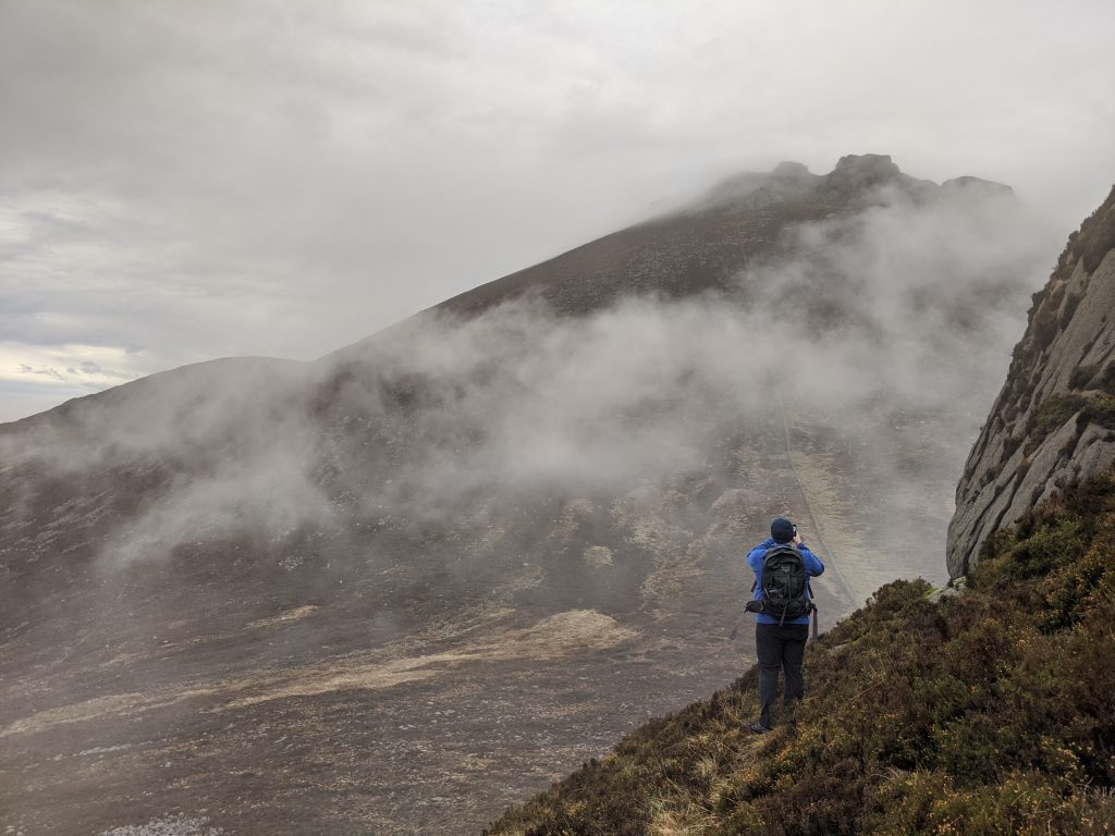
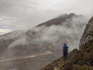
No matter how tired the legs were feeling, it wasn’t long until we had got to the summit of Moolieve and dipped down before we starting to make our way to the top of Wee Binnian. The most notable thing about our ascent up Wee Binnian was how un-notable the view had become thanks to the clouds that had suddenly descended.
In fact, most of our climb up Wee Binnian was spent working out how wise it would be to continue up Big Binnian. It didn’t help that Binnian repeatedly went from being cloaked in cloud to clear, meaning the decision to turn around and not follow our intended route kept swinging from being on the cards, to off them, before the clouds would roll back in and start the debate all over again. By the time we had got to the top of Wee Binnian, we weren’t any closer to figuring out the best course of action, so we decided to have something to eat and drink and then assess our next move.
It is one of life’s inescapable facts that food and drink help solve most problems and this was no exception; as we ate it became very clear that every time one cloud moved on, it was quickly followed by another and there was no way of knowing whether that cloud would be the one that would decide to stick around. In the end, with our level of experience, it was an easy decision to make – it wasn’t worth the risk heading any further.
This left us with a little bit of dilemma. We had been up for just over an hour at this stage and weren’t in too much of hurry to get back to the car. Thomas got out the map and pointed to various other routes and I nodded and said, “Yep, that sounds about right” but we couldn’t quite settle on what was best to do.
READ: Nature Therapy for Kids
Find Out MoreLuckily, the cloud which had curtailed our walk actually came to our aid. It came sweeping across the reservoir down below in the Silent Valley, giving the surrounding landscape a rather eerie and majestic air. We were quite happy to spend a while admiring what lay before us, whilst trying to take a photo that captured something of its beauty. By the time we had finished taking in the view, we decided that because we could see the reservoir so clearly, rather than simply retracing our steps, we would use it as a point to help us follow a path that cut down slightly deeper into the valley and then follow the road back to the carpark.
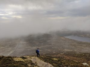

It was a good plan, I remember distinctly nodding a few times and saying, “Yep, that looks about right”, but there was one hitch. The path that we began follow quickly disappeared and we were left to pick our way down through some gorse until we came upon another path. This took a reasonably long time but we made it down to the road and once there, a brisk pace took us back to the car park in no time.
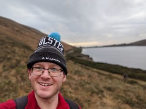
Back at the car, it was hard to assess how successful a hike it had been. It had taken us about three hours, but we really hadn’t walked all that far; a lot of time had been spent debating how best to proceed and then navigating our imaginary path through the gorse.
And yet, even though I don’t know much about maps, I do know that time up in the mountains with an old friend is always good for the soul.
Yep, that sounds about right.
You can follow Chris on Facebook.
 Belfast,Photography
5 scenic walks around Lisburn
 Mourne Mountains
Bearnagh: Chased the sunset, caught the rain
 Mourne Mountains
Camping in the High Mournes
 Fermanagh and Tyrone
Cuilcagh: Stairway to Heaven
 Features
Every Game of Thrones Location in Northern Ireland
 Mourne Mountains
Hen and Cock Mountains
 Mourne Mountains
Leganabrachan, Millstone and Thomas: Donard’s Seaside Bodyguards
 Mourne Mountains
Percy Bysshe and Cove Caves