5 Outstanding Late Winter Hikes in the Mourne Mountains
Would you like to sponsor this article?

I can’t think of a better way to spend a sunny day than climbing a mountain with friends, taking time to really be present and take in the scenery – a picnic along the way is also compulsory! That’s exactly how I spent the day recently when I hiked Slieve Donard, Northern Ireland’s highest mountain and part of the Mourne Mountain range.
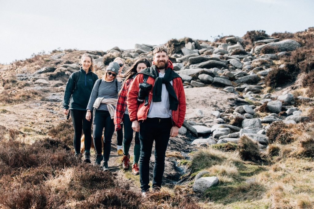
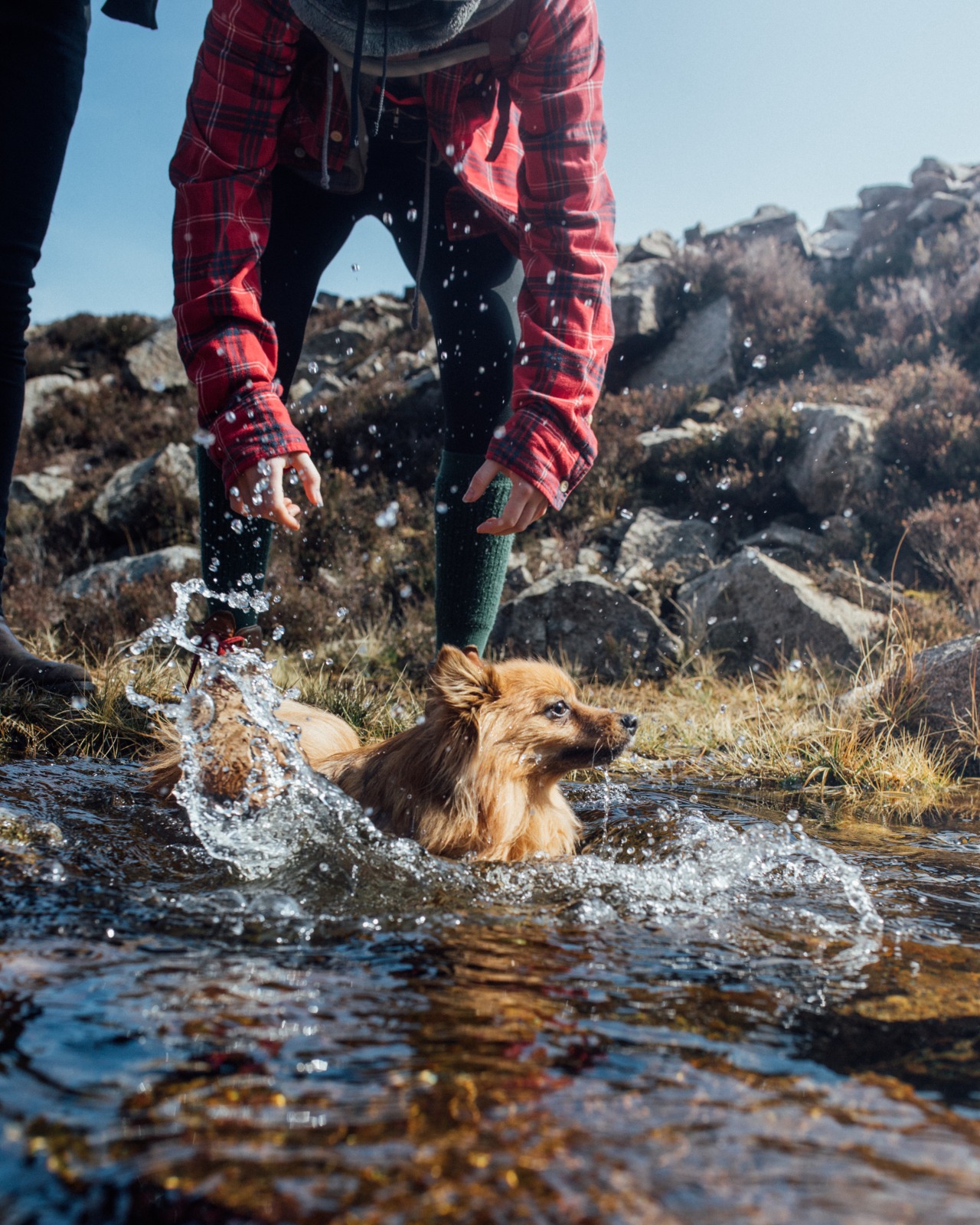
Our walk up the Mournes was organised by a fantastic local magazine Turf and Grain, the group was a mix of friends, new faces and plenty of puppers!
READ: Chimney Rock Mountain: Donard’s wallflower sibling
We set off from the Bloody Bridge carpark at about 11.30am and followed the path across the road and up along the river. The path is a gradual incline and very easy to follow, it takes you across the river over a bridge and again using stepping stones. After this point you climb some wooden steps over a fence and then the route joins up to a gravel road. The gravel road brings you up and through a quarry and from here the path turns back to a dirt trail, it can be a bit marshy in spots so I’d recommend good waterproof footwear but it’s also achievable in runners if you don’t mind getting a bit wet and mucky.

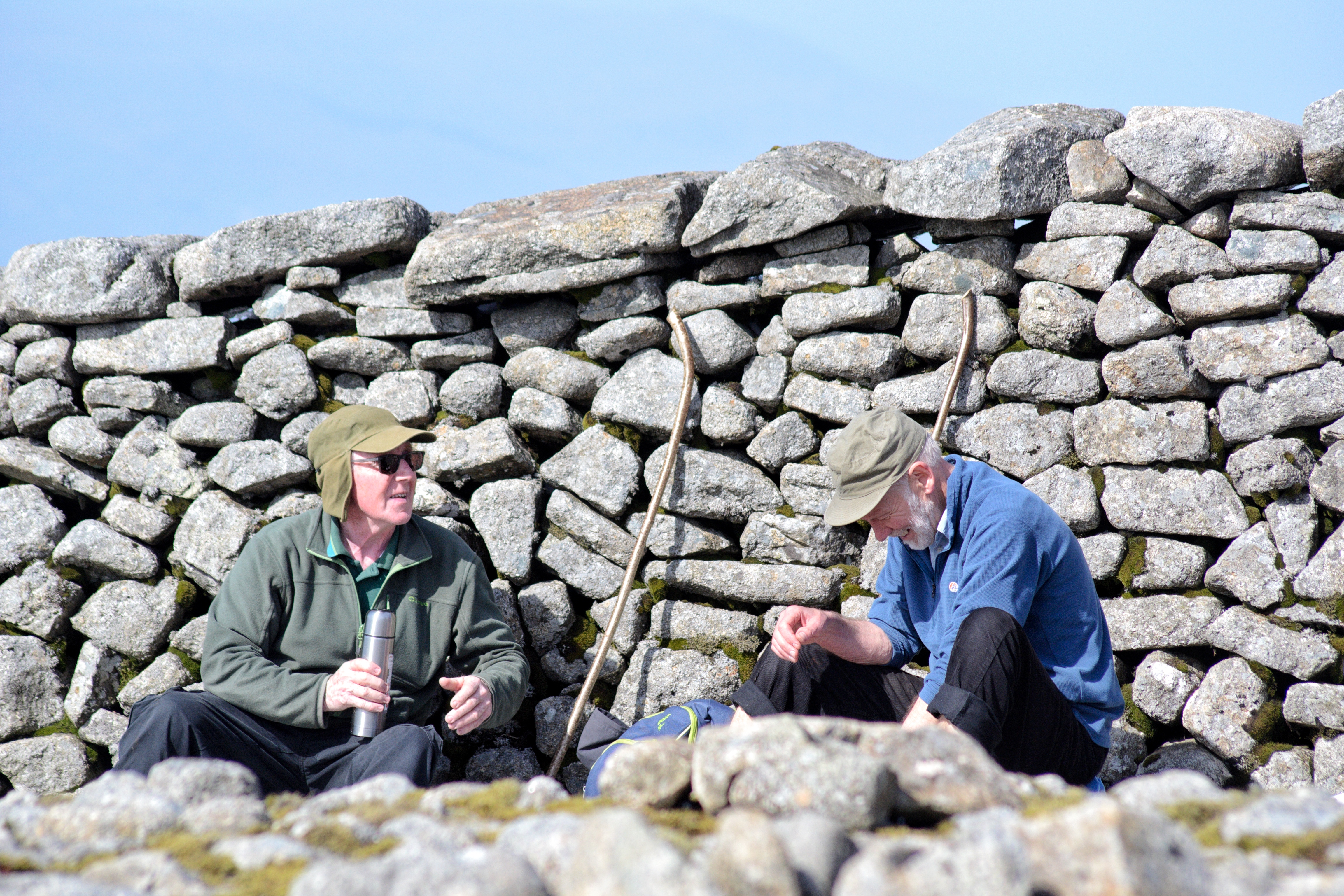
This section of the trail brings you all the way to the majestic Mourne Wall, it will run across your route so you literally cannot miss it, it took us about 2.5 hours to get to this point. Another step ladder will bring you up and over the wall. We stopped and had some lunch here before our final trek to the top. Thankfully, we were blessed with the weather, but the wall provides good shelter from the wind/rain/snow if needed.
READ: Meditation in the Mournes
After lunch we set off for the summit, this portion is a lot steeper and requires some careful footwork as it can be quite slippy. I think it took us about an hour for this part of the hike and so we took another well-deserved break up top to enjoy the views.

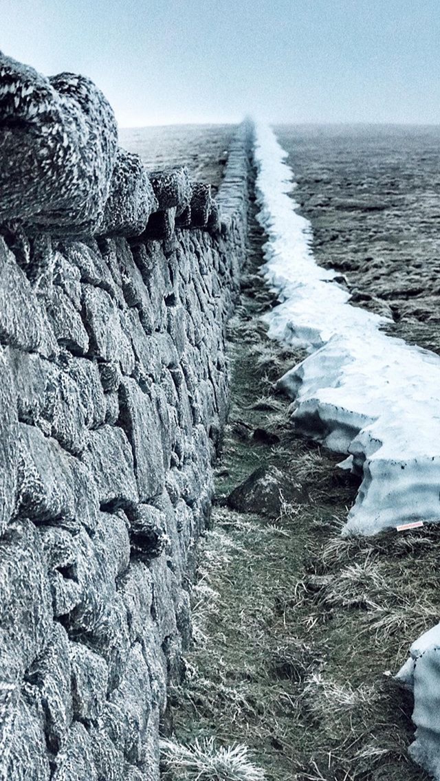
My favourite part of this walk is probably the Mourne Wall, I think it’s such an interesting feature on the landscape. The wall is about 1.5 metres high, it is 22 miles long and passes over fifteen mountains. It was originally constructed to isolate the catchment basin for Belfast’s water supply from cattle and sheep… and dogs evidently!
I’ve actually done this hike twice now, I once attempted it at 5am in February to try get a good sunrise, it turned out to be completely overcast, freezing cold and windy. Not ideal, but still a different sense of achievement.
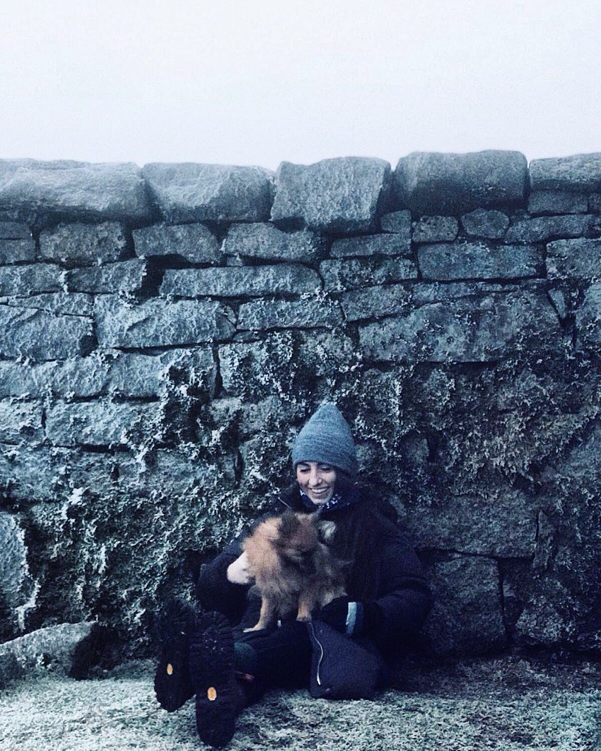
This time round it was April, an 11.30am start and it was dry, sunny and warm – definitely a far more enjoyable experience but unfortunately you can’t always predict the weather in this little country. I would say this walk is achievable for all levels, just take your time! The trail is easy to follow, and the climb is very gradual up as far as the Mourne Wall. From the wall to the summit is a lot steeper, you have to be careful of your footing and take your time, this portion could be optional for some but is very achievable with a decent level of fitness, some concentration and determination.
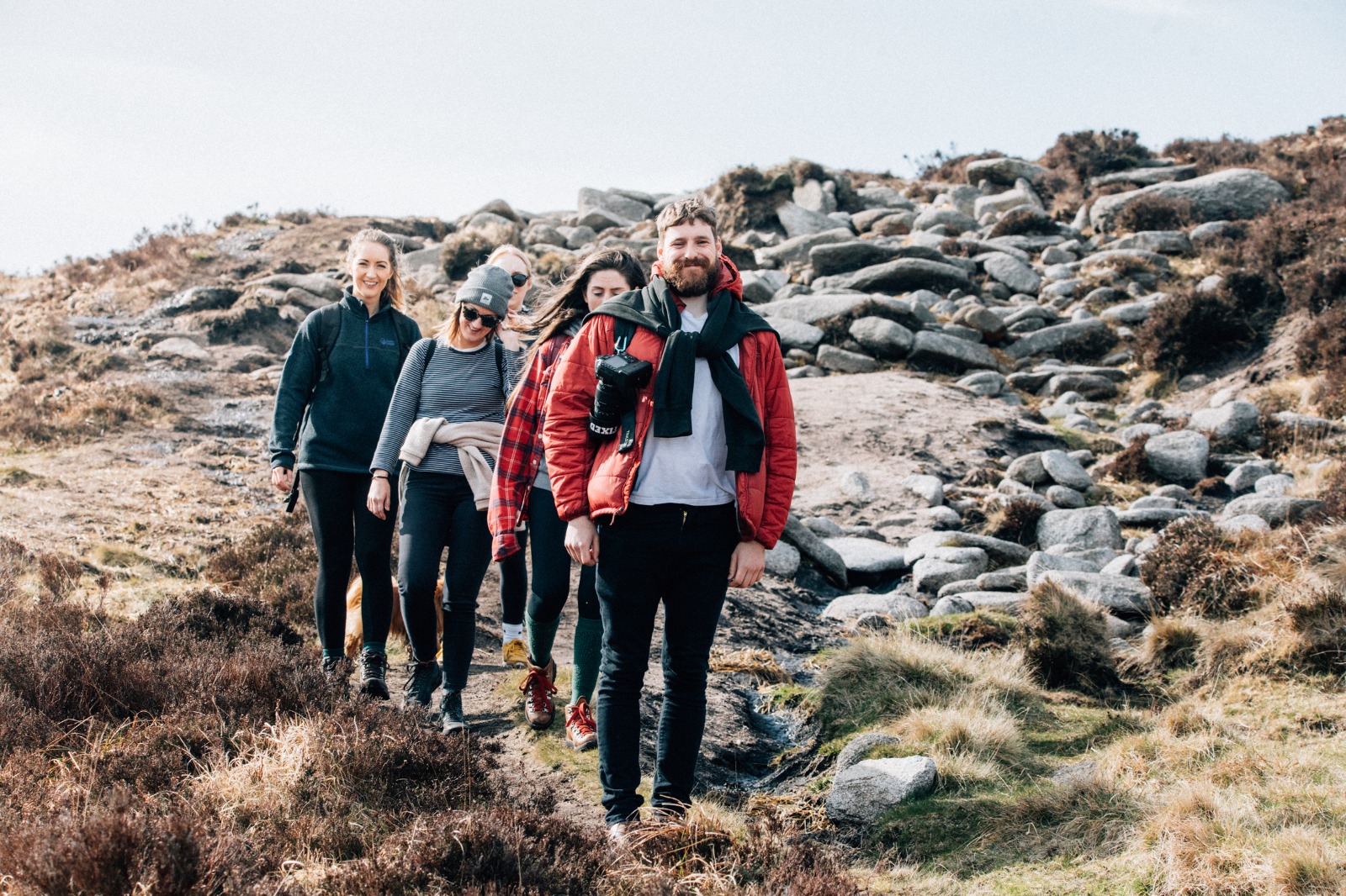
The entire hike took us about 5.5 hours but that was at a very comfortable pace with regular food, water and photo stops. It was great to hike as a group, catching up with friends and meeting new people. I’d 100% recommend this trek, if you decide to do it, I would just say take your time, appreciate the scenery, take plenty of breaks to take it all in and enjoy!
 Belfast,Photography
5 scenic walks around Lisburn
 Mourne Mountains
Bearnagh: Chased the sunset, caught the rain
 Mourne Mountains
Camping in the High Mournes
 Fermanagh and Tyrone
Cuilcagh: Stairway to Heaven
 Features
Every Game of Thrones Location in Northern Ireland
 Mourne Mountains
Hen and Cock Mountains
 Mourne Mountains
Leganabrachan, Millstone and Thomas: Donard’s Seaside Bodyguards
 Mourne Mountains
Percy Bysshe and Cove Caves