5 Outstanding Late Winter Hikes in the Mourne Mountains
Would you like to sponsor this article?

Whilst the Mourne Mountains is our usual playground we do love to explore new places. There is so much to see and explore in Ireland, its beauty is definitely unrivalled in my opinion. I only started hiking about 20 months ago with my husband, but we soon got the kids involved too. It’s always fun to hike as a family. As long as your kids have an interest in the outdoors and walking they can definitely manage these mountains!
We have been fortunate enough to explore different places in Ireland in the past year including Donegal, Wicklow, Kerry and Connemara as well as some other parts of Northern Ireland. It’s been fun to discover new hikes and take the kids with us for the majority of them.
You may be tempted to wonder, “Is it worth taking your kids hiking?”. The answer, most definitely, is yes!
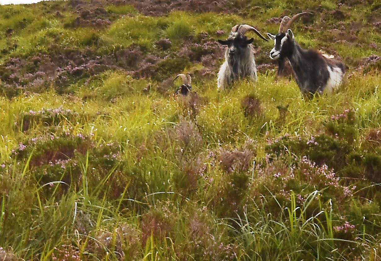
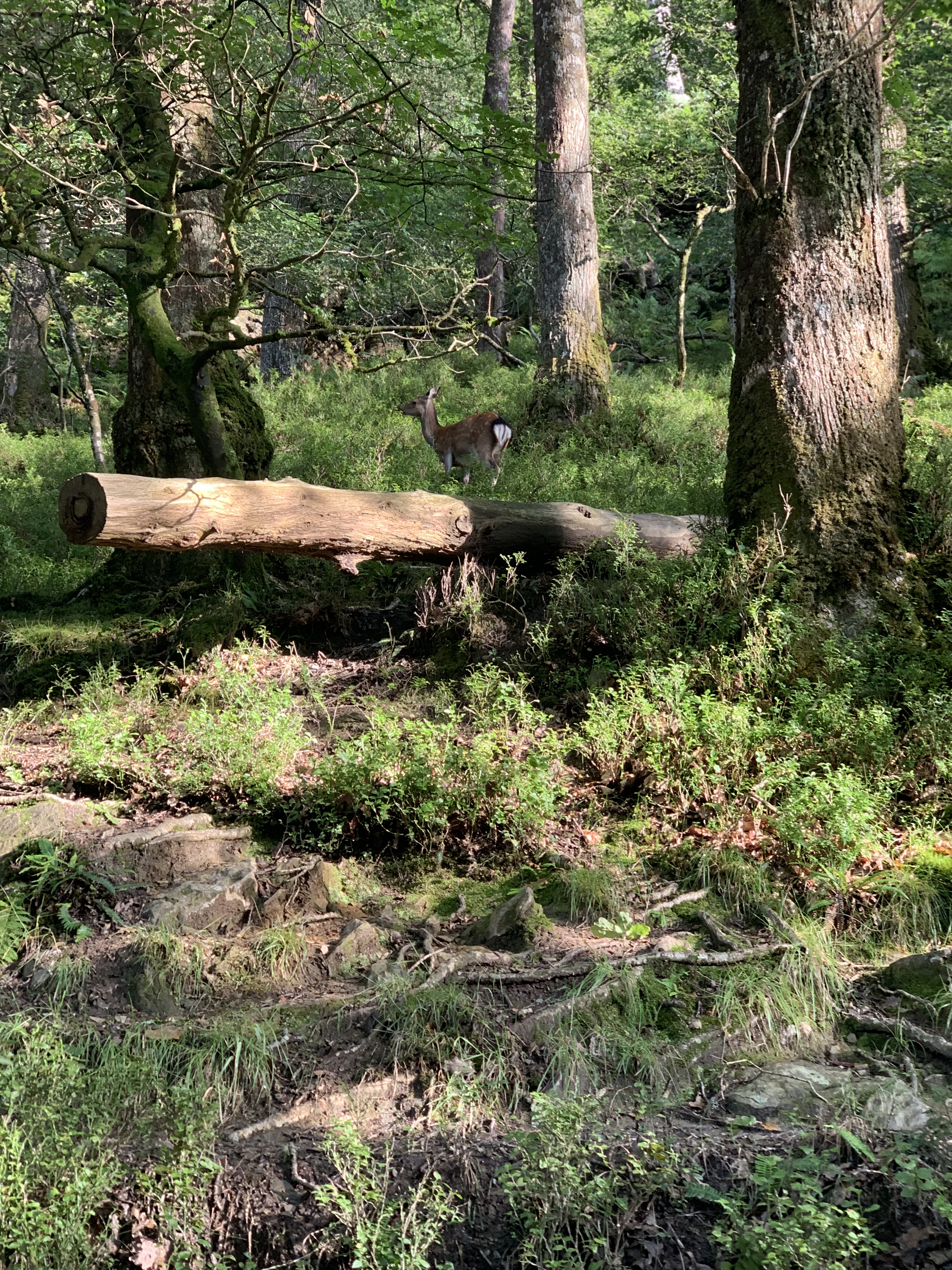
Not only does hiking provide quality family time, it gives children the opportunity to connect with nature. They get to escape the endless vision of concrete buildings and experience how beautiful it actually is to be outside. Nothing makes you appreciate something more than experiencing it first-hand. Your kids may even grow up to appreciate and safeguard their environment instead of polluting it. Exercise is extremely beneficial for children of all ages and they are exposed to wildlife all around, especially in Ireland! We have been lucky enough to see wild mountain goats, deer, newts, frogs, birds of prey as well as many other animals.
Up until springtime this year my husband or myself used a babywearing carrier to carry our youngest on all hikes which enabled us to hike as a family since we began hiking when she was 2 and ½ years old.
This meant that we were able to hike any of the mountains in the Mournes and plenty more around Ireland too. Nevertheless, for now I’m going to give my top 5 mountain hikes in Ireland for families.
“Of all the paths you take in life, make sure a few of them are dirt.” ~ John Muir
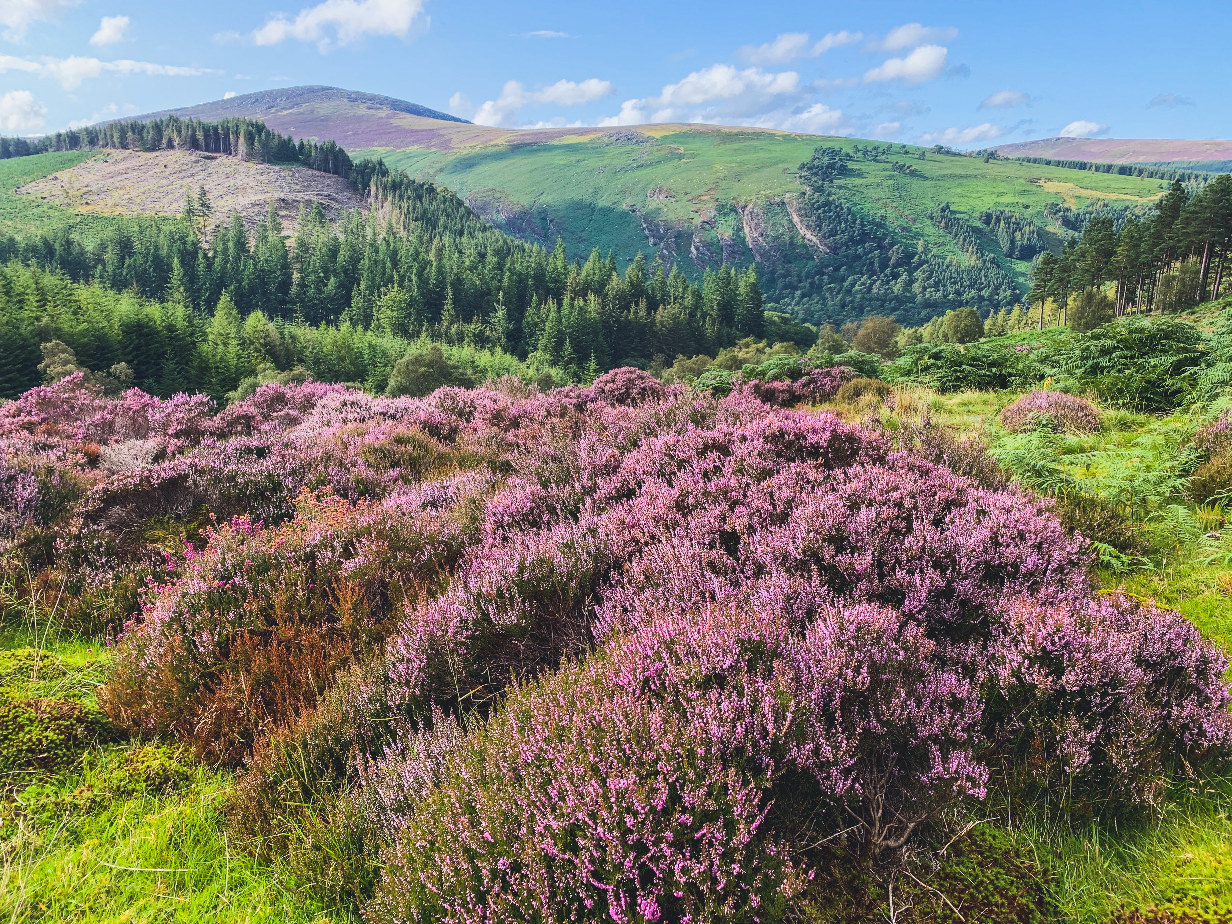
Glendalough {The Valley of two lakes} is a deep, glacial valley nestled in the Wicklow Mountains, just south of Dublin. It features a beautiful monastic city which is lovely to let the kids explore and learn some history!
This is one of my favourite walks ever! We have walked in Glendalough in both summer and autumn. We visited last autumn without the kids and completed the spinc and Wicklow way (red trail) and took in two mountains on the way! An epic but long day out! That inspired me to take the kids with us this summer and complete the spinc trail. There are lots of different trails for different abilities around Glendalough in County Wicklow making it perfect for families.
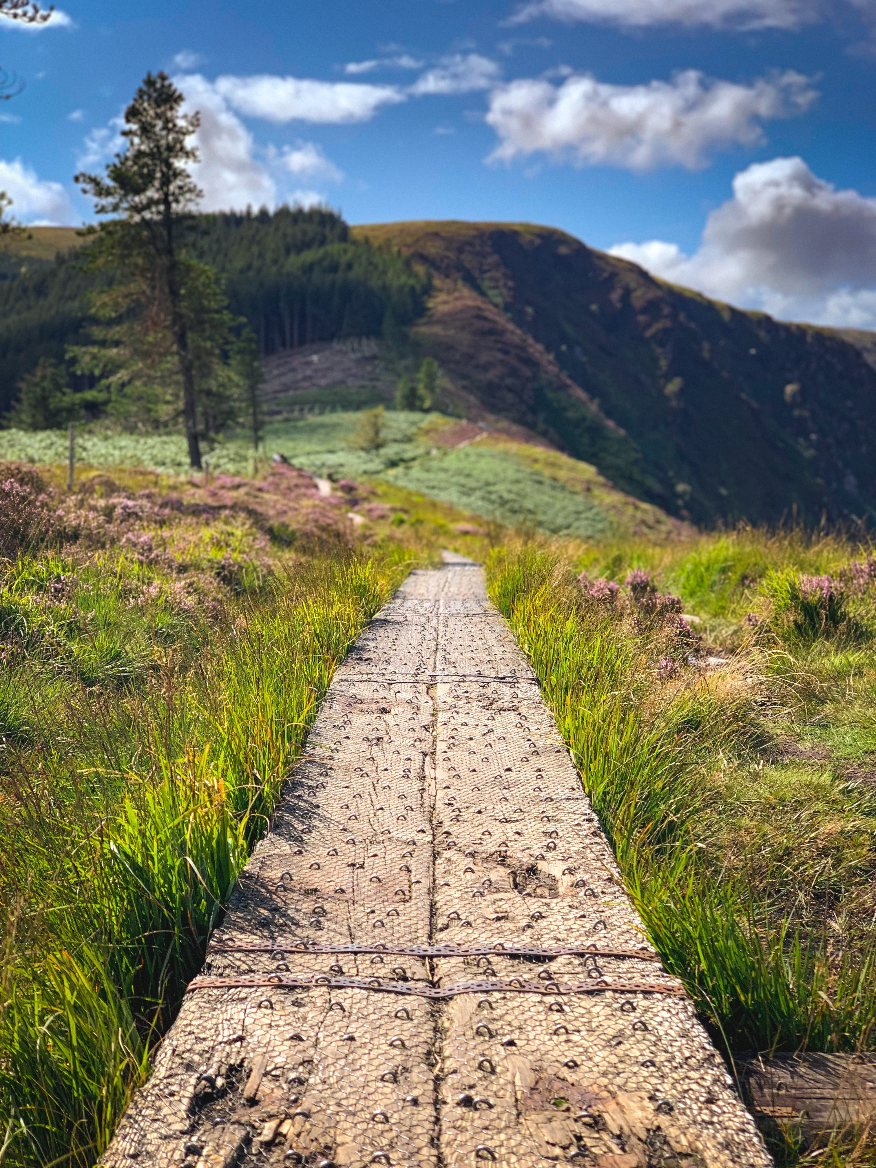
We completed the Spinc trail and Wicklow way red walking trail in August with both kids and it took us most of the afternoon. We actually started from the carpark at the lower lake which extends your walk a bit (but the upper lake carpark was full). I advise visiting early especially on weekends as it’s a popular spot and can be hard to secure a parking spot. Any of the spinc trails (there are different variations) are colour coded and sign posted along the way and offer amazing views back down over the upper lake! A real mountainous feel but boardwalk and good paths most of the way!
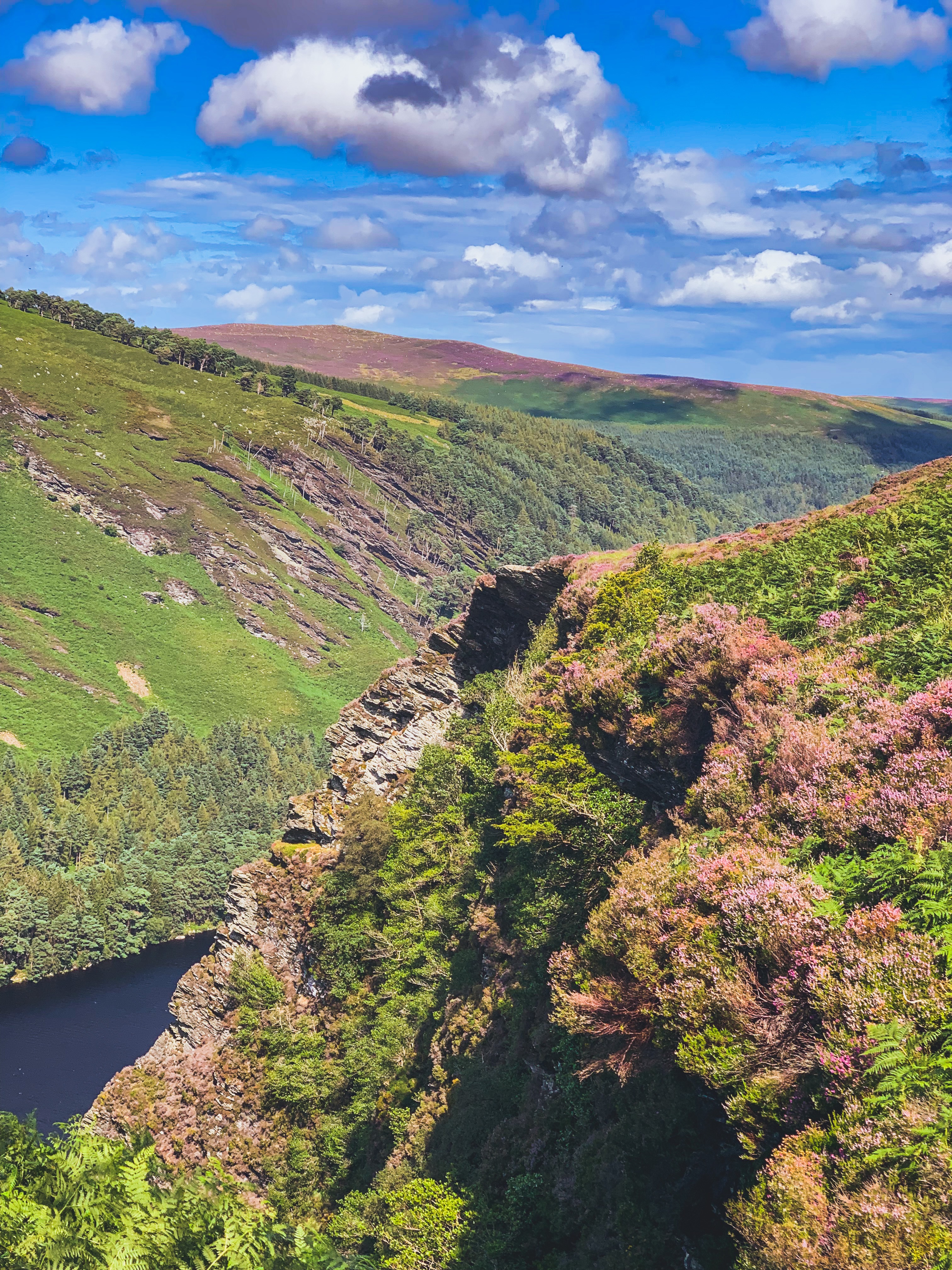
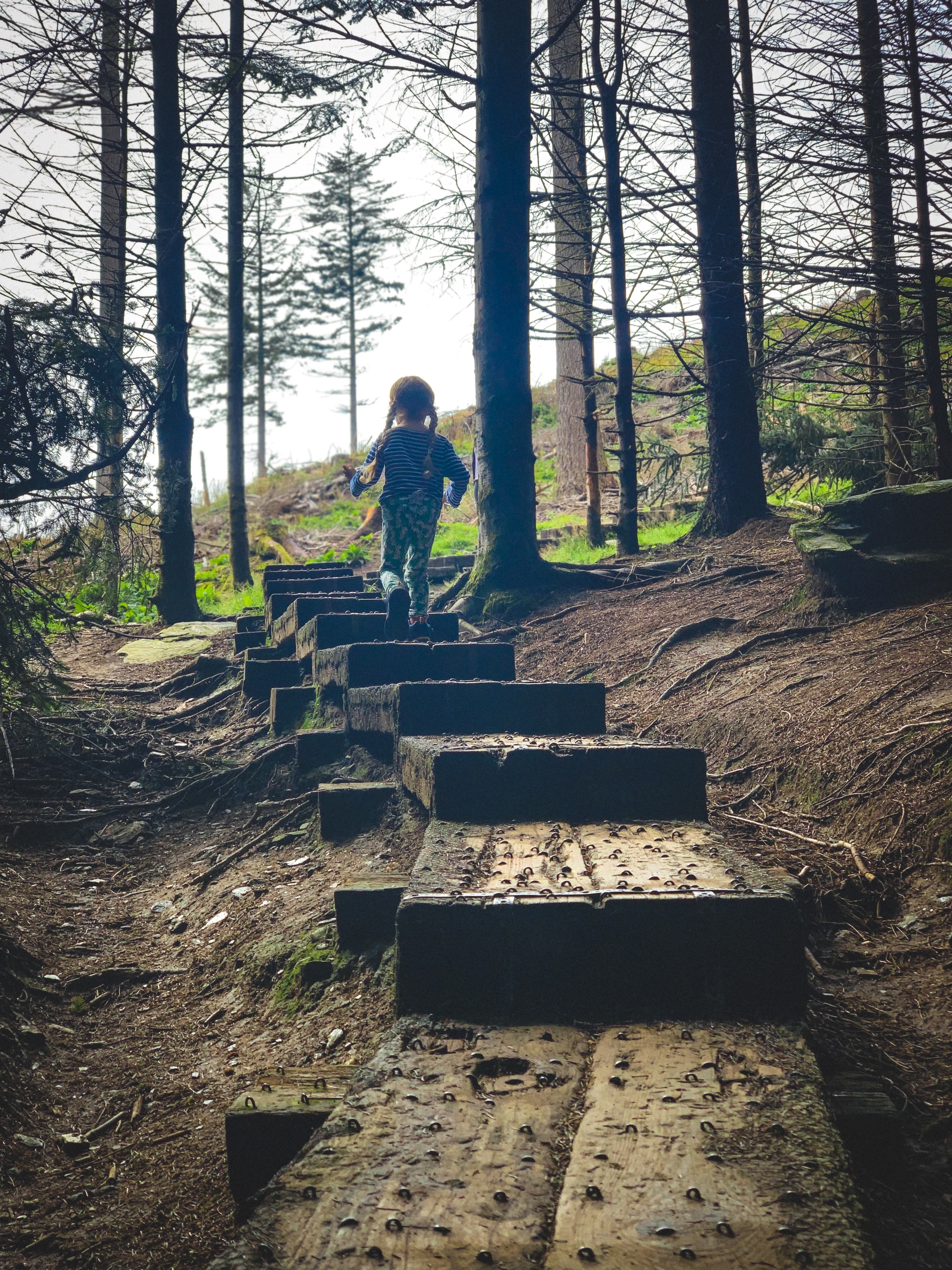
Be sure to check the board at the left of the upper lake it provides lots of information on walking routes in Glendalough and you can choose the one that best suits your family.

READ: 7 Must-See Places for Visitors to Northern Ireland
Top tip- Don’t miss the Poulanass waterfall (from the Irish ‘Poll an Eas’ which means ‘hole of the waterfall’.) and the photo post spot at the upper lake! Gorgeous spots for some family photos.
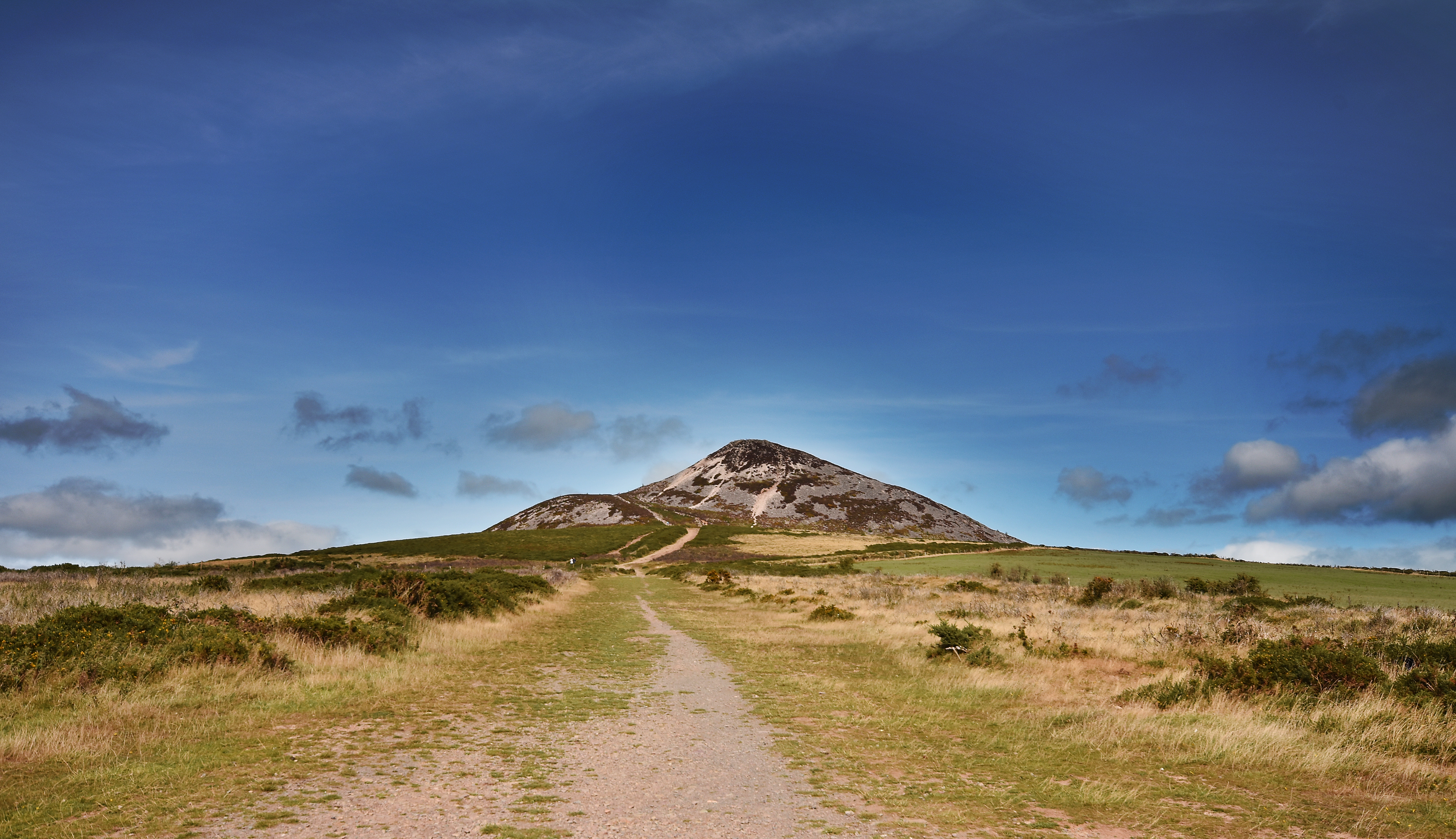
The Great Sugarloaf is 4km west of Kilmacanogue in County Wicklow. Its isolation from other hills, steep slopes, and conical shape makes it appear much taller than its 501m height above sea level.
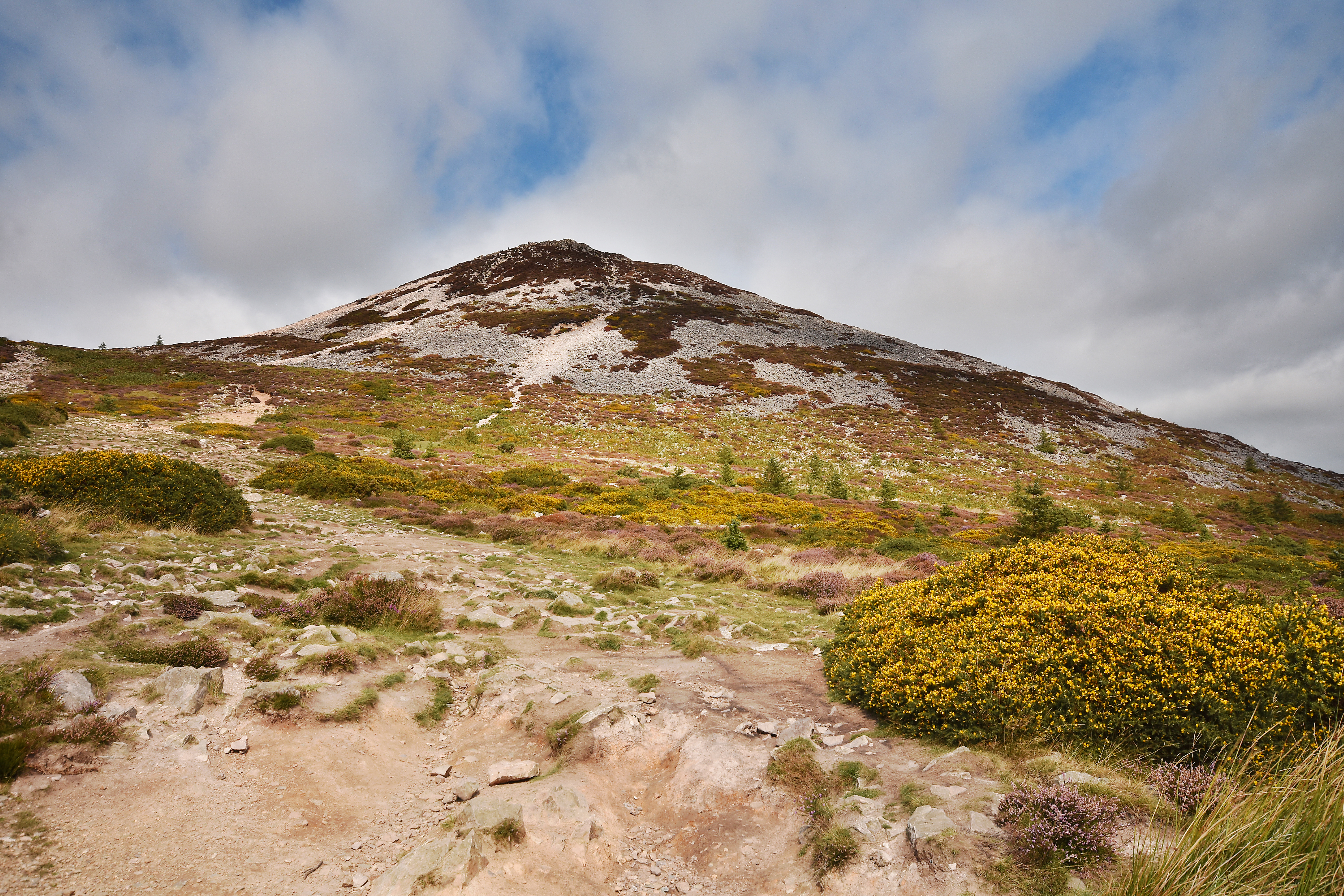
This is a fabulous mountain for kids! My kids loved the hike itself and due to its shape and isolation it stands out as a ‘real mountain’ as my 4-year-old says!
It is composed of quartzite. The mountain has been a landmark for all those travelling along the east coast including pilgrims, and scholars on the way to and from the monastic city of Glendalough.
SHOP: Scratchable Map of Ireland. Scratch off the attractions you’ve visited to reveal beautiful hand-drawn pictures.
Find Out MoreWe visited Sugarloaf last summer and it was really busy with lots of families and little children climbing up! Once you reach the carpark there is a well-defined path to the top. The hike roughly takes about an hour depending on fitness and how long you spend on top. The final section is a little bit of hands and feet clambering through rocks but extremely fun. My kids loved it!

From the top of the Sugarloaf you can see right across into the Wicklow Mountains and north to Howth and the sparkling Dublin Bay beneath.

READ: Trekking with Kids: Wild Exploring in Scrabo Country Park
Make sure to bring a few layers as it can be rather windy on top even in summer due to its exposed nature.
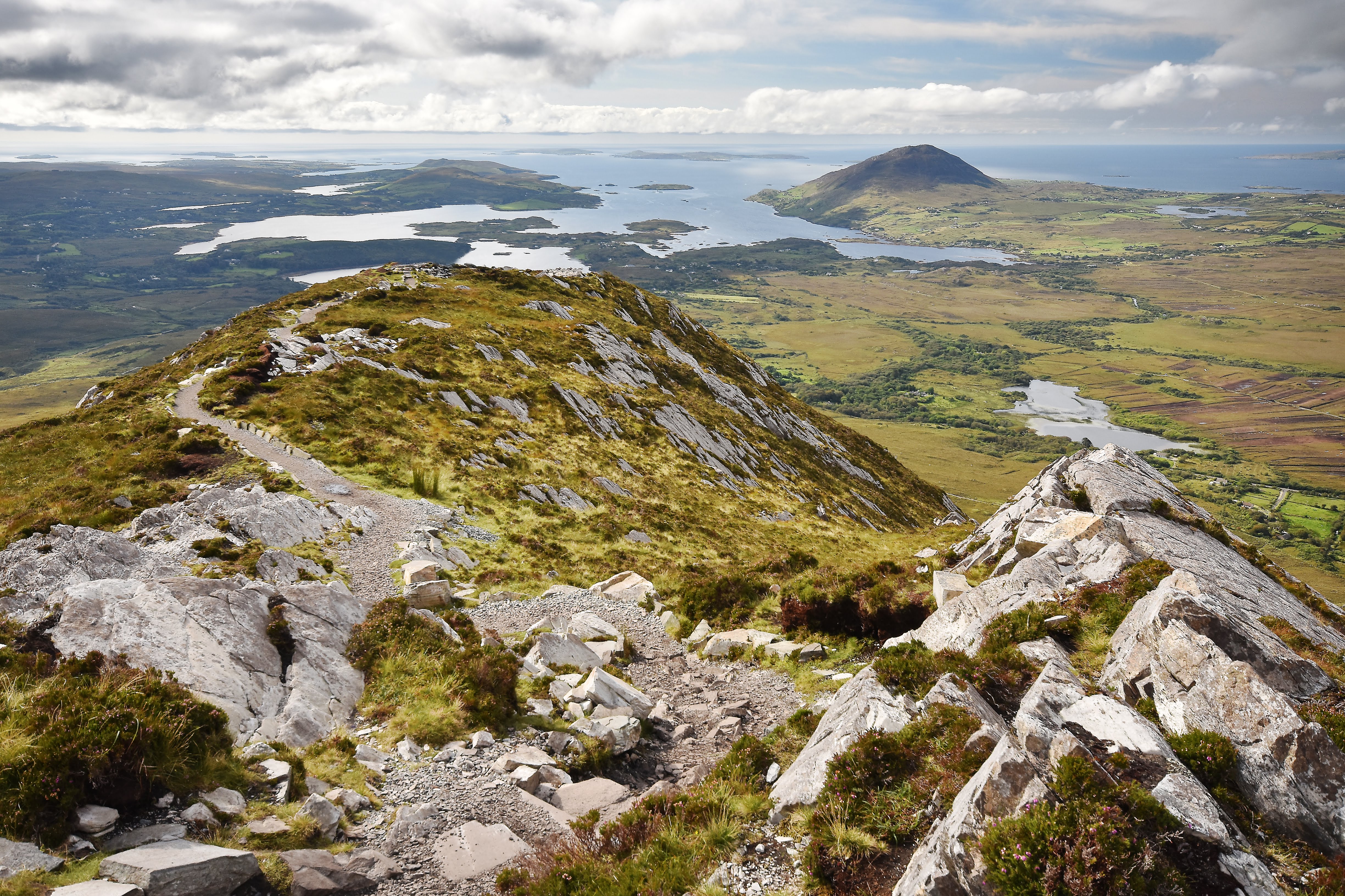
Diamond Hill is 445m in height and situated in Connemara national park. Whilst it may not be very high it offers panoramic views across the national park and Connemara mountains. The hill itself rises precipitously on its own giving it a ‘real’ mountainous feel and a sense of adventure for children! With an ascent of 400m and a distance of 7km the estimated time is given as 2hrs – 3hrs. We did it in less, even with a 4-year-old walking the full distance (we had done a morning of 3 hours canoeing in the Killary fjord that day too! Which I highly recommend for families).
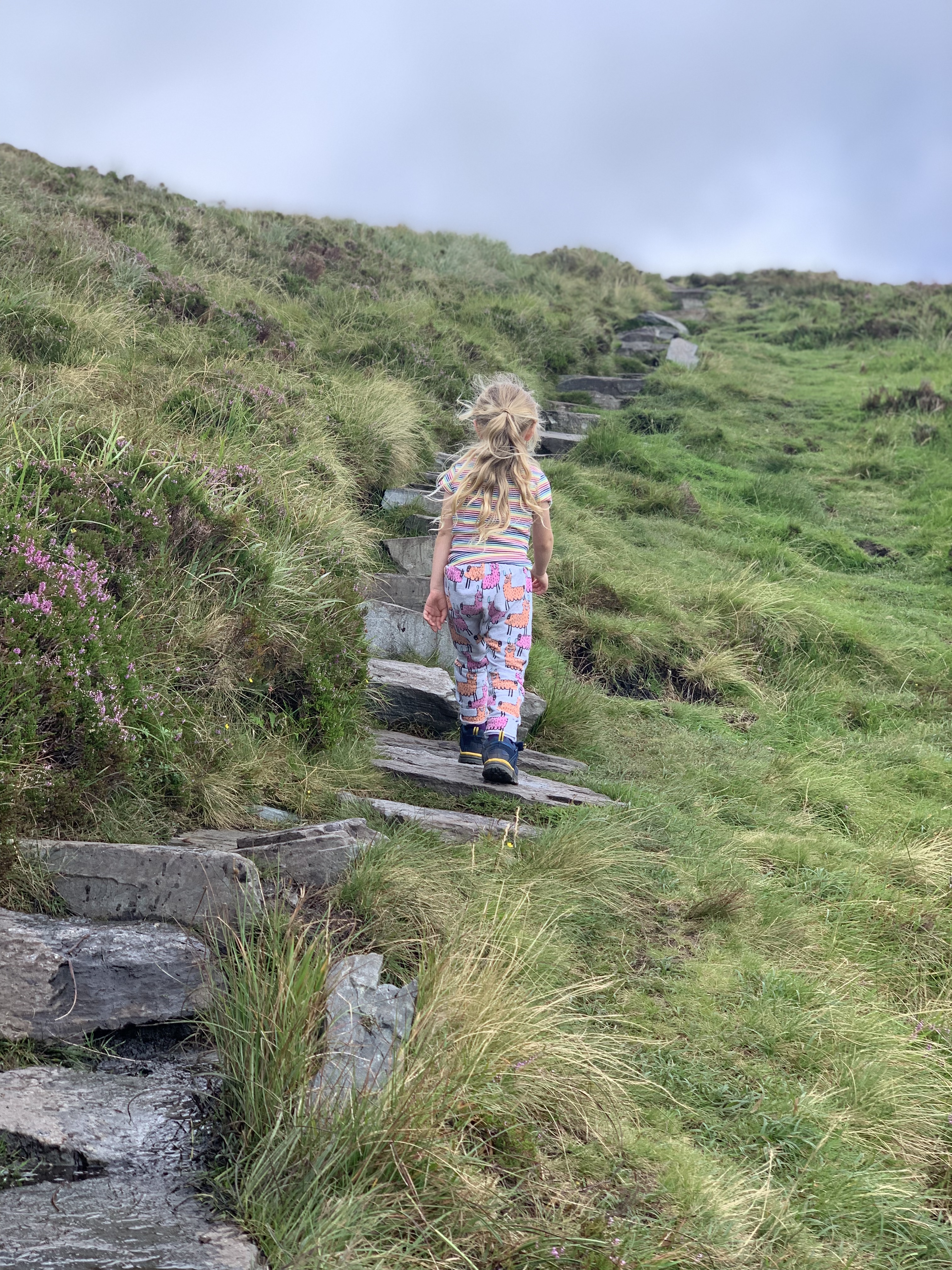
The Start and Finish for this hike is Connemara National Park Visitor Centre. There is a carpark at the visitor centre but when we visited it was jam packed and people where parking the whole way down the road leading up to the carpark. So be warned, it may be best to visit early or later in the day especially on a weekend.
The terrain is made up of gravel tracks and paved mountain paths as well as a few bits of boardwalk along the way. There are 3 trails; the Sruffaunboy walk which is a short loop walk at a low level, the lower diamond hill walk and finally the upper diamond hill walk which takes you to the summit. Both my girls 10 and 4 found the full loop walk to the summit fairly easy and not overly challenging.
The summit, provides a stunning view of the Twelve Bens and surrounding Connemara region.
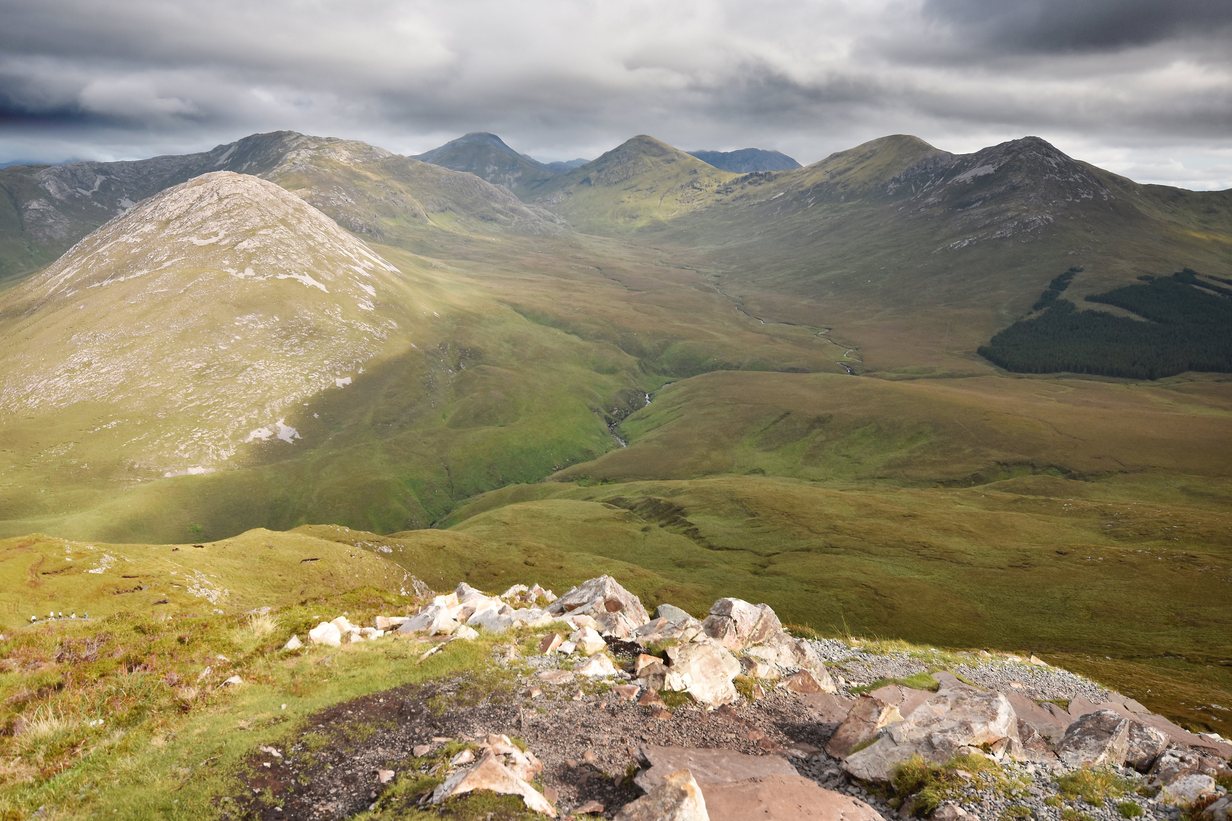
Situated in the West of Ireland in County Galway, Connemara National Park covers some 2,957 hectares of scenic mountains, bogs, heaths, grasslands and woodlands. Some of the Park’s mountains are part of the famous Twelve Bens range. Diamond Hill is a very well-maintained path up a mountain with a spectacular view as a reward at the top. I highly recommend this for any family wanting to explore more areas of Ireland and add a new hike to their list. The girls absolutely loved the ridge on top and climbing the rock steps to get there, a real sense of adventure for all.
READ: 5 Hidden Gems of the North Coast
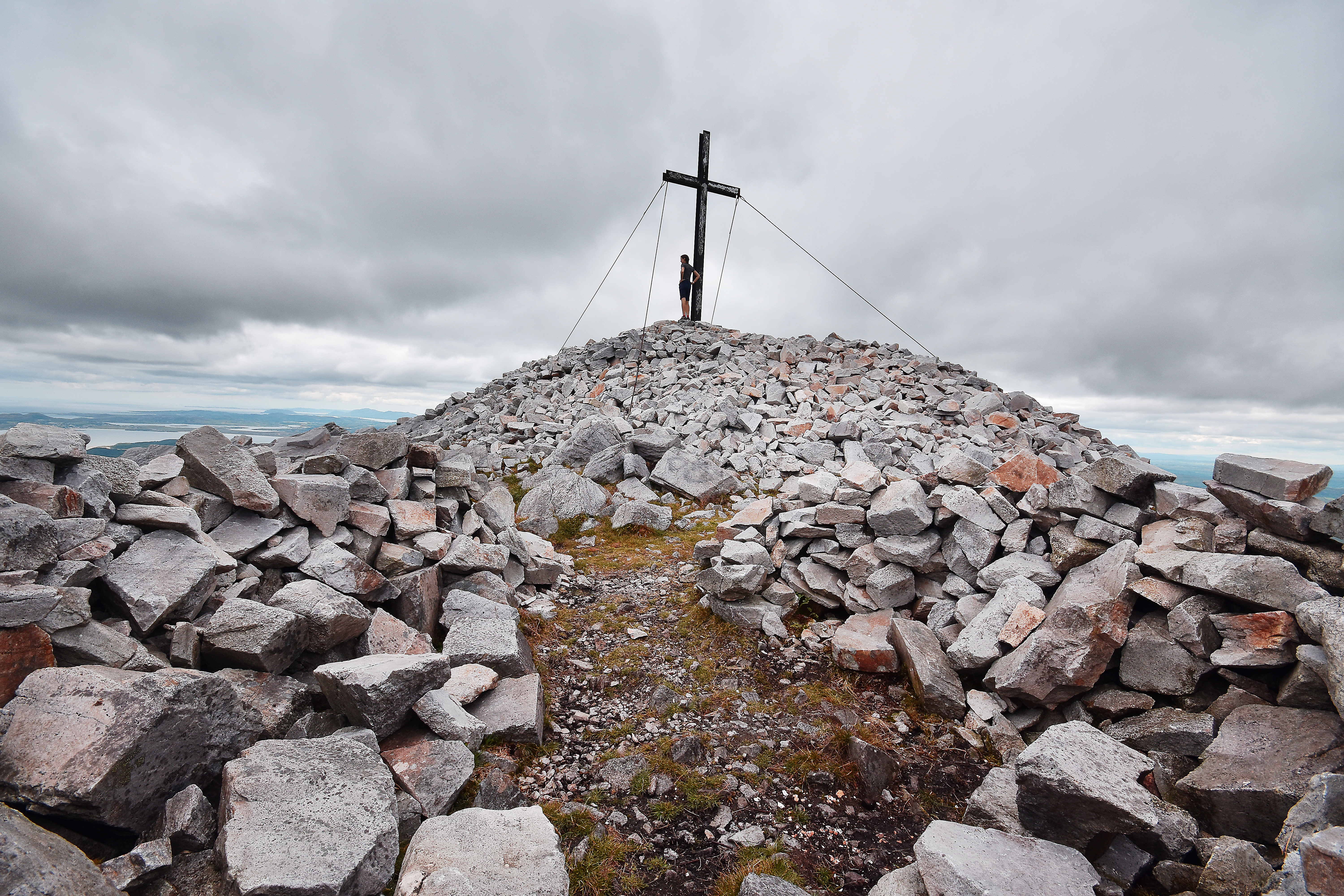
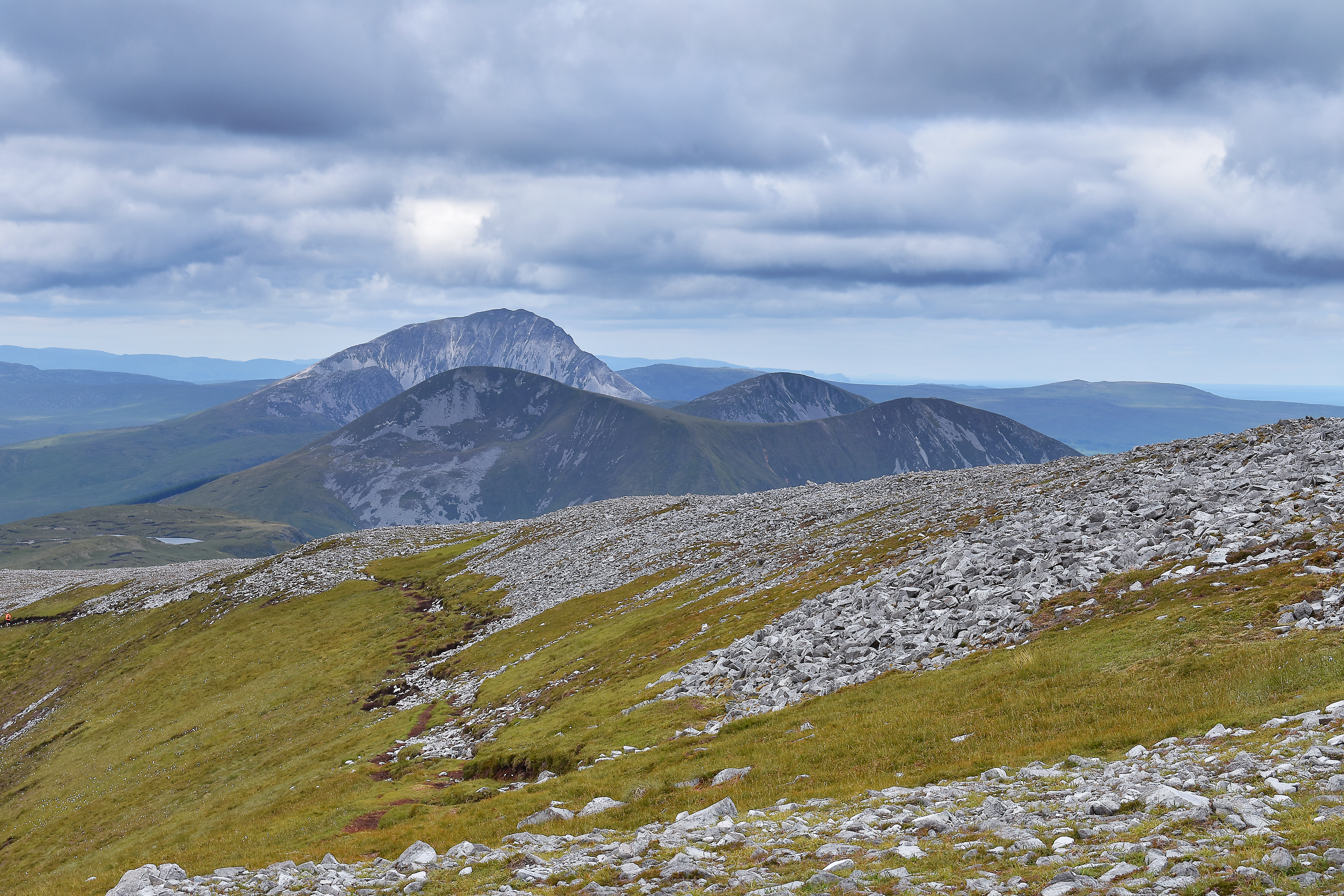
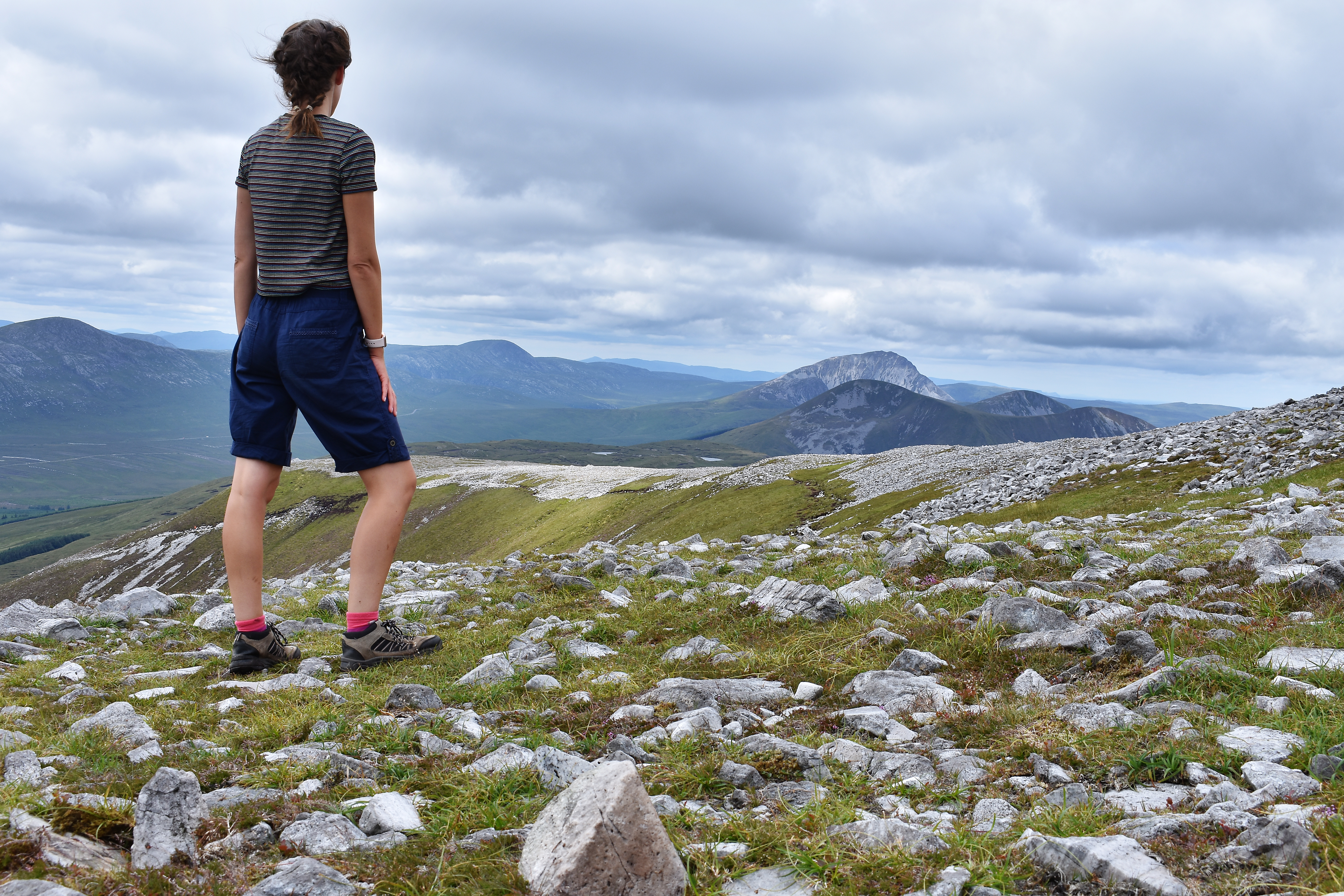
Muckish is 666m above sea level with 360* views on a clear day. We were lucky enough last summer to get amazing views from the summit. It is known as one of the seven sisters and has a few different hiking routes to the summit. We found one of the easier routes perfect to take the kids hiking!
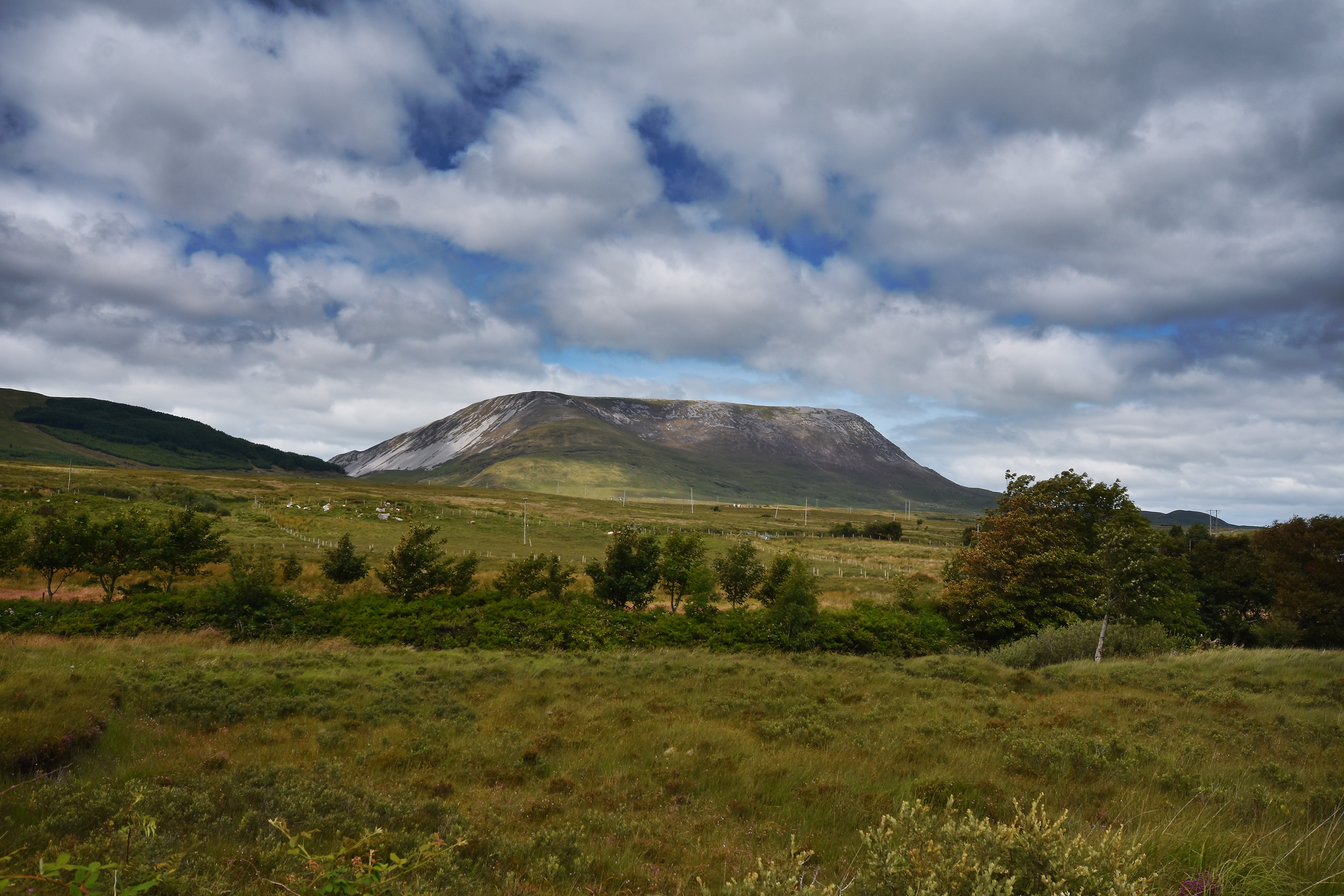
This table top mountain has steep sides and a wide plateau summit. The Irish name is ‘An Mhucais’ which means the pig’s back. Muckish is a landmark in County Donegal but also famous for the quarrying of silica sand that was used in the making of glass.
There are two main routes up to the summit, one is from the grotto on the Falcarragh side at a place called Gleannaneor. The other main route is called the Miners Path, which was made and used by the miners as they worked on this famous Mountain.
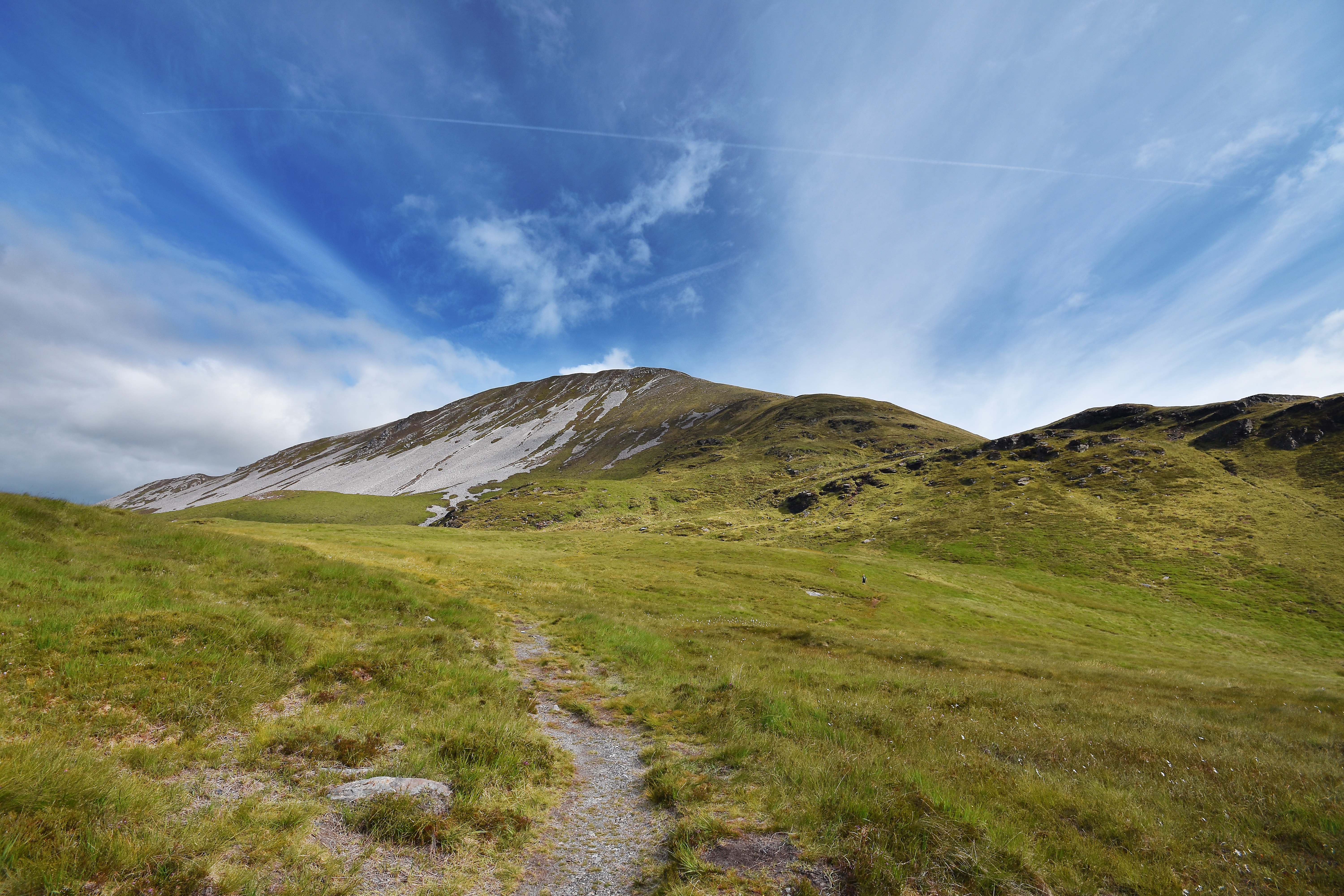
The route we chose was via the grotto at Falcarragh also known as the Muckish Gap, this one is easier and the most popular way. Also a better alternative to hike with kids or for your first time hiking Muckish. From R251 take turn for Falcarragh (An Fal Carrach). This road will take you to Muckish Gap. There is a roadside shrine at the highest point of the gap and there is room to park either at the shrine or on the right-hand side of the road just after the shrine.
From the parking spot, cross some boggy ground after which a short climb towards the obvious gap leads to a track. Follow this track which climbs gently around the mountain and after a short walk, the cross on the Northern edge of the summit will come into sight followed by the cairn to the southern end of the summit. Now, you need to pick a path up the slope of the mountain and as you gain height, a rocky path just below the plateau leading towards the cairn will come into view. Follow this path to the broad summit plateau. Once you’ve summited enjoy the views and walk across the top to the cross; the views are outstanding. Be sure to retrace your steps back to the path and follow the same route back down.
READ: Tollymore Self-Catering: Your home away from home
This mountain is a hike for a good day! Remember always be prepared as the broad plateau can look rather featureless in low cloud and it may be difficult to retrace your steps back to the path. Always check the forecast before your hike and prepare adequately.
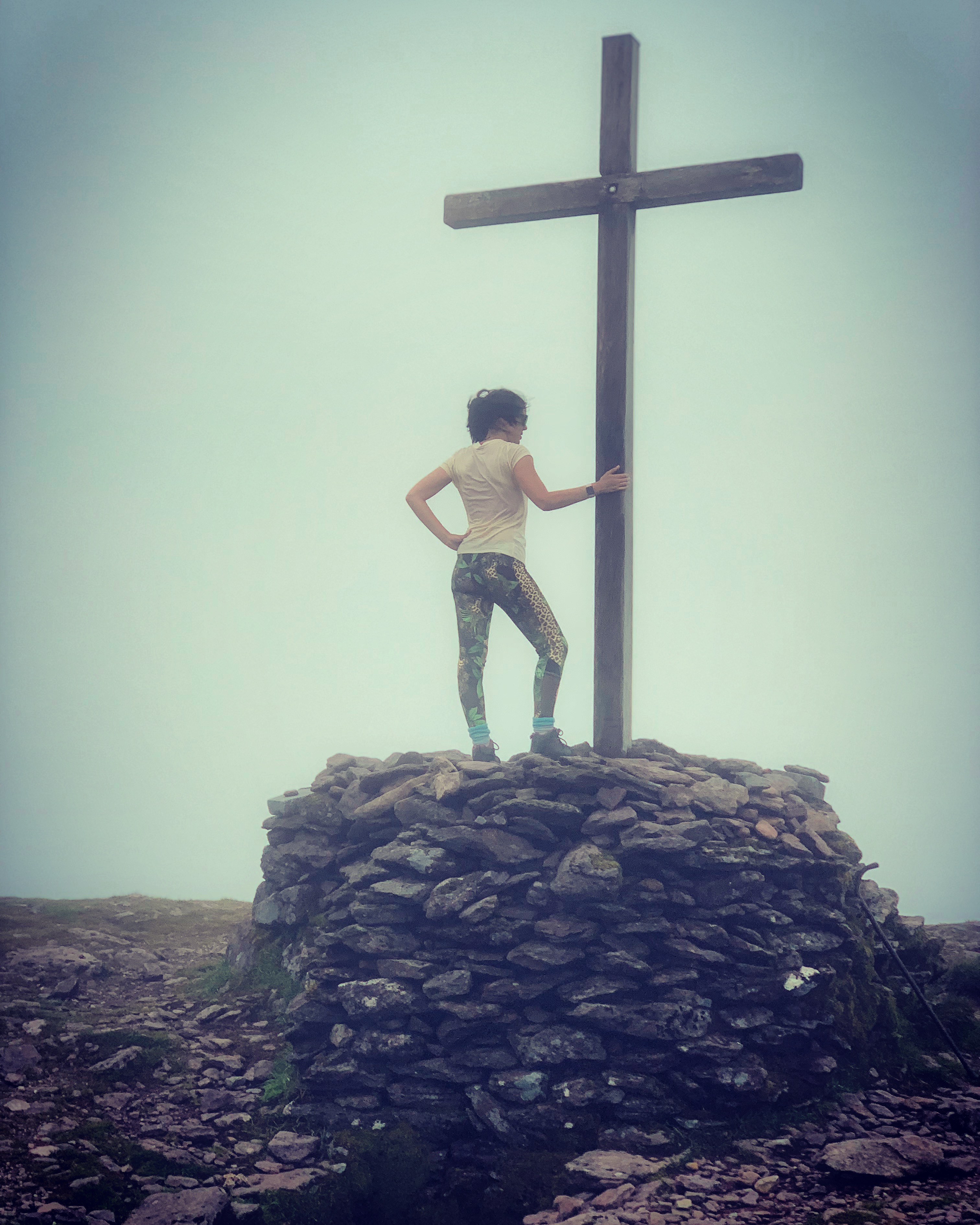
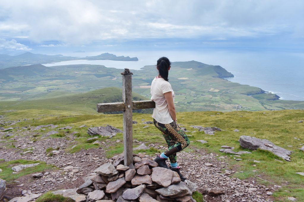
Mount Brandon is said to be one of the most impressive hiking routes along Ireland’s Wild Atlantic Way. After completing it in July I would have to agree!
Looming over the green fields of the Dingle Peninsula, Brandon is the highest peak in Ireland outside of the McGillycuddy’s Reeks. So a great one to add to your list! My 10-year-old was feeling very chuffed after completing it this summer! The 951.7m mountain is popular and there are a couple of routes to the summit.
Mount Brandon sits in the middle of a range known as the Brandon group. It takes its name from St. Brendan the Navigator, who was thought to have spent 40 days on the mountain preparing for his voyage to America. To the pilgrims who climb the mountain every year, Mount Brandon is sacred. For ordinary hikers, it can be an exhilarating challenge. No matter what- the views are worth the climb!
We chose to follow the pilgrim route or path as it seemed a little less technical for a 4 year old to hike! It is a bit of a longer hike but definitely do-able for kids!
The Saints’ Road/pilgrim route is the quickest and easiest route up Mount Brandon following the stations of the cross. The route starts at the car park in Baile Breac and it’s marked along the way by large stone crosses. The ascent is mostly up grassy, boggy slopes before it gets steeper and turns rocky near the top. The views are outstanding the higher you climb! On a good day, it’s possible to see as a far as Ventry Bay. However, be prepared, the weather is notoriously unpredictable on the Dingle Peninsula and upper Mount Brandon is more often than not shrouded in cloud. When you get a sunny break, grab your camera and make the most of it. The Saints’ Road takes 3-4 hours to complete. Keep following the 14 stations of the cross all the way to the top, these make a fantastic way marking system even in poor weather and fun for the kids to see the next cross in the distance!
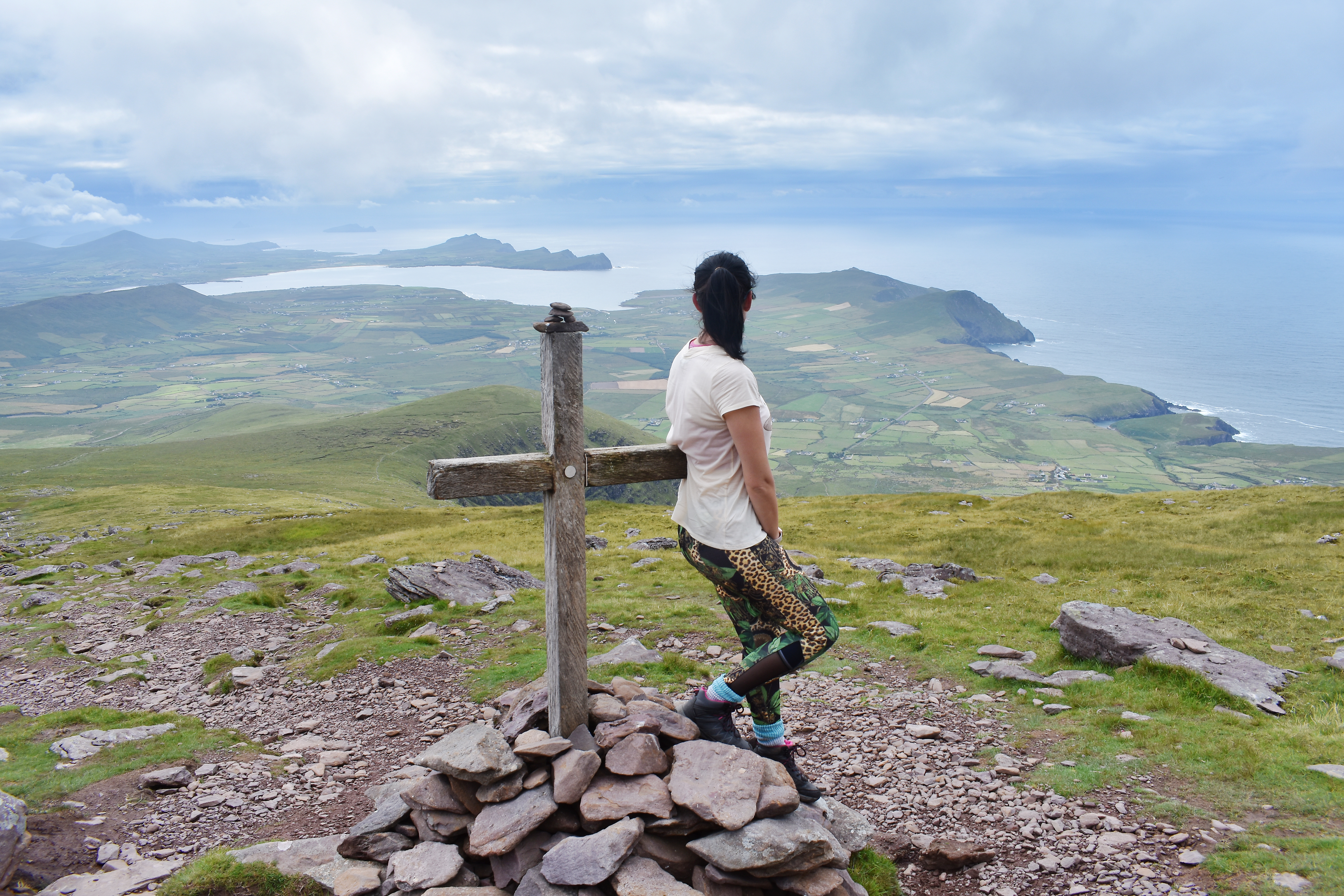
The day we went in July, the top was shrouded in cloud but we were extremely lucky that we had views right across the peninsula until about three quarters of the way up the mountain! What stunning scenery and a great hike to do as a family!
“You never climb the same mountain twice, not even in memory. Memory rebuilds the mountain, changes the weather, retells the jokes, remakes all the moves.” ~ Lito Tejada-Flores
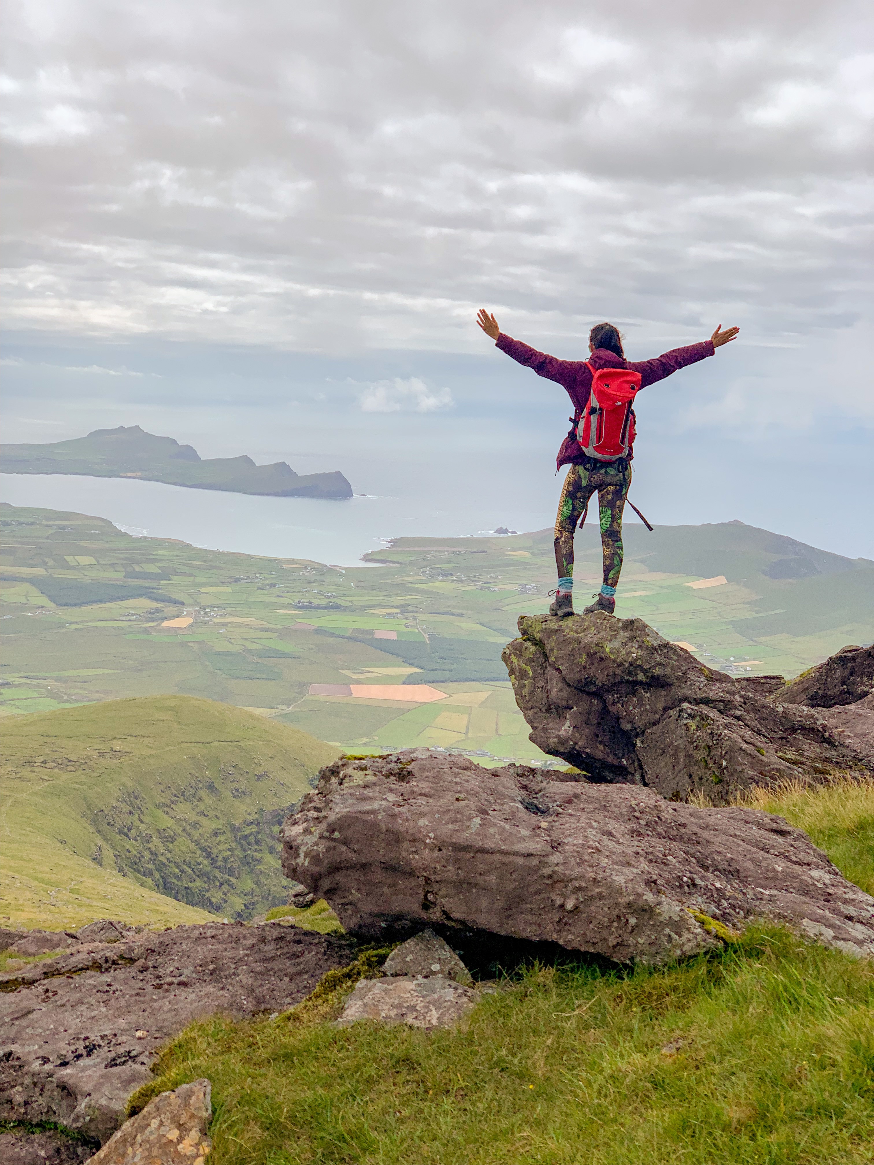
As a family we have had an epic summer of exploring and hiking round Ireland. Such great experiences and fantastic family time!
SO LOG OFF, SHUT DOWN and GO OUTDOORS!
 Belfast,Photography
5 scenic walks around Lisburn
 Mourne Mountains
Bearnagh: Chased the sunset, caught the rain
 Mourne Mountains
Camping in the High Mournes
 Fermanagh and Tyrone
Cuilcagh: Stairway to Heaven
 Features
Every Game of Thrones Location in Northern Ireland
 Mourne Mountains
Hen and Cock Mountains
 Mourne Mountains
Leganabrachan, Millstone and Thomas: Donard’s Seaside Bodyguards
 Mourne Mountains
Percy Bysshe and Cove Caves