Climbing Slieve Binnian from Carrick Little (for novice hikers)
McLister's Ballycastle

Have you trekked the Moyle Way?
I am French and live in SW France. I do a lot of hiking in the Pyrenees, but I travel several times per year to Ireland and Britain. I got addicted to peak-bagging in 2012/2013, and I am aiming at completing the Irish +500m list (check the mountainviews.ie website), i.e. 570 summits, of which I have climbed 338 so far. I have also started collecting munros, wainwrights, Welsh peaks and other summits in Britain. Last year, I started getting interested in Challenge walks and completed the Blackstairs Challenge and the Fei Sheehy Challenge both in 2017 and 2018. Consequently, I became a member of the newly formed Na Sléibhte Hill-walking Club, an all-Irish club dedicated to challenge walks for self-navigators.
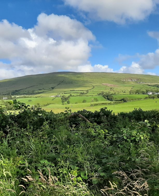
I am definitely a Mourne enthusiast, but in May 2017 a friend and I decided to walk the full length of the Moyle Way, from Ballycastle to Waterfoot/Glenariff, in County Antrim. This route is about 45km long, with some 1080m total height gain, and it took us almost 11h30 to complete it.
READ: Mountains and Megaliths: Treading the Boards on Cuilcagh and Cavan Burren
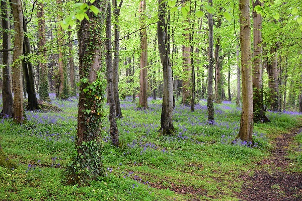
Definitely spring -for the bluebells !!
McLister’s Ballycastle: A family run business with over 100 years experience in the retail sector.
Find Out More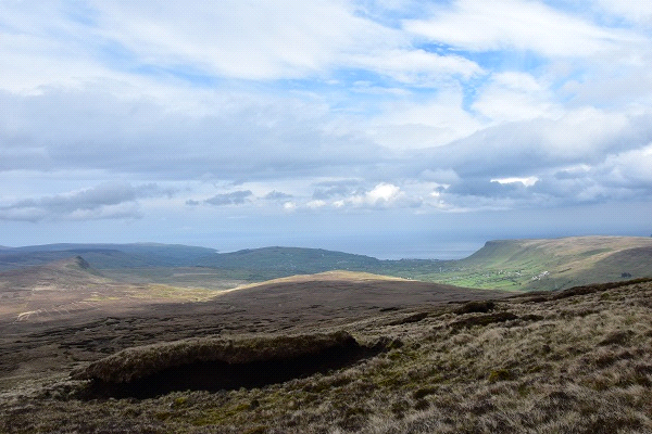
…you like a bit of challenge, although it is usually completed over two days.

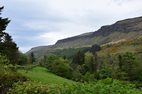
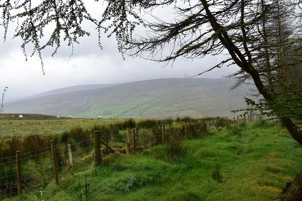
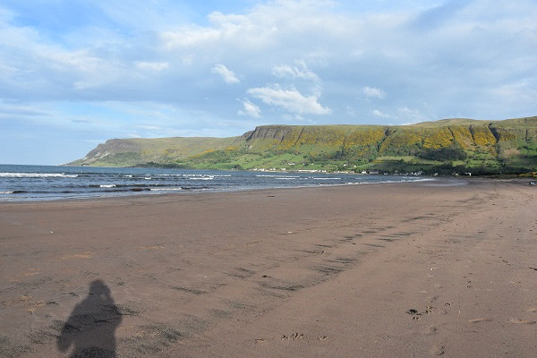
It may not be the most spectacular walk in Northern Ireland, but I particularly enjoyed the variety of landscapes and terrains: forest tracks and trails, moorland, gravel tracks and the odd bit of tarmac here and there. The trail is well-marked most of the way but requires some navigation skills in places. It can be completed either way, but I must say the finish on the beach at Waterfoot was something !! And although you get to cross a few roads and two forest parks, you hardly pass by a few houses, which means you are away from the crowds most of the time !!
Two cars are needed for this walk, even if you decide to split it in two days, as there is no accommodation available halfway, and I am not sure wild camping is allowed. The route takes in the summit of Slieveanorra (508m), where extensive views await; it also by-passes the summit of Trostan, Antrim’s highpoint at 550m, but I would strongly recommend to make the short detour if the weather is clear, as the views NE over the coast and Lurigethan Mountain from just below the trig point are really worth it !!
Check the article I wrote for the annual 2017 MountainViews newsletter (pages 47/48).
GPX track: https://mountainviews.ie/track/report/3454/
More details about this route here: http://www.walkni.com/walks/187/moyle-way/
You can follow David on Twitter.
Article sponsored by McLister’s Ballycastle.
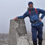
David Guenot, 44 year-old, outdoor blogger, aka. The Lone Peakbagger.
I am French and live in SW France. I do a lot of hiking in the Pyrenees, but I travel several times per year to Ireland and Britain. I usually walk solo and take a lot of pictures. I am also a member of the Na Sléibhte Hill-walking Club and an addict to challenge walks and peak-bagging, aiming at completing the Irish +500m list (569 summits, of which I have climbed 424 so far).
 Belfast,Photography
5 scenic walks around Lisburn
 Mourne Mountains
Bearnagh: Chased the sunset, caught the rain
 Mourne Mountains
Camping in the High Mournes
 Fermanagh and Tyrone
Cuilcagh: Stairway to Heaven
 Features
Every Game of Thrones Location in Northern Ireland
 Mourne Mountains
Hen and Cock Mountains
 Mourne Mountains
Leganabrachan, Millstone and Thomas: Donard’s Seaside Bodyguards
 Mourne Mountains
Percy Bysshe and Cove Caves