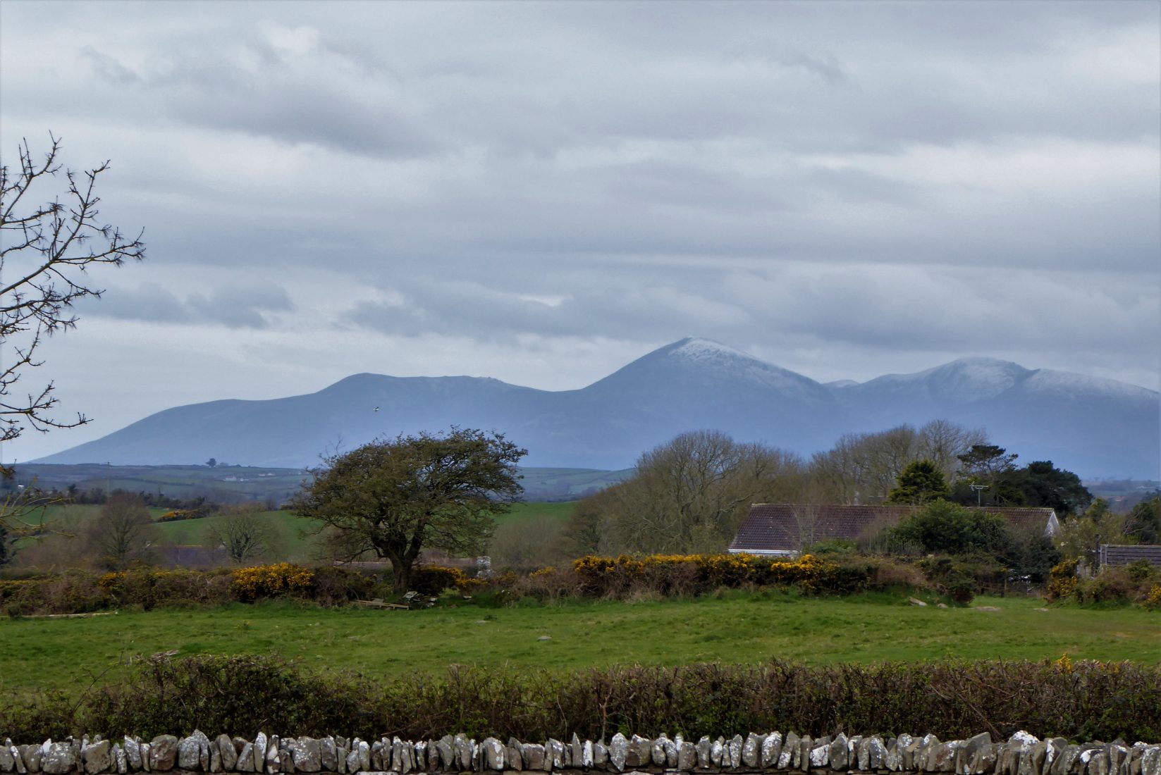
Climbing Slieve Binnian from Carrick Little (for novice hikers)
Would you like to sponsor this article?

This short walk follows a small section of the Lecale Way, a 75km walk from Downpatrick to Newcastle taking in the Strangford Lough coastline with its tower houses, castles and ancient monuments.
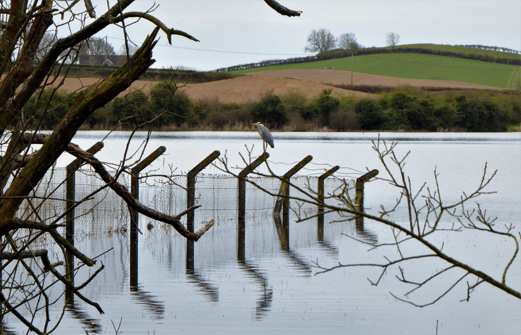
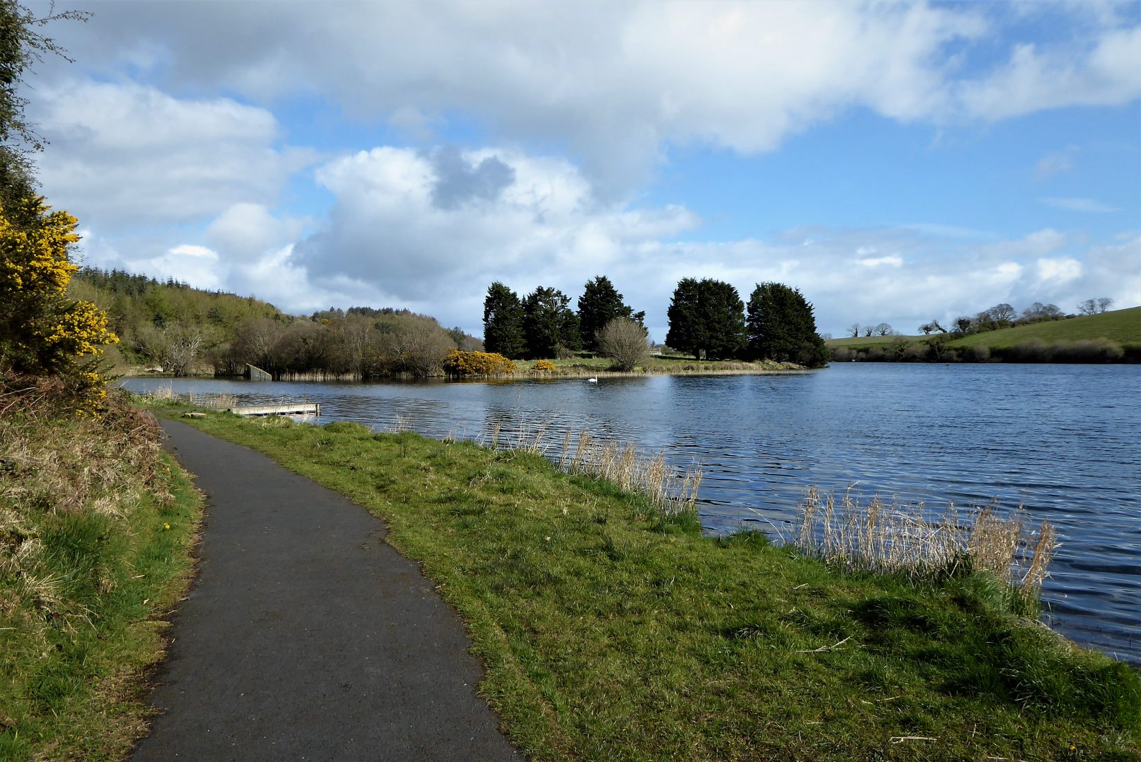
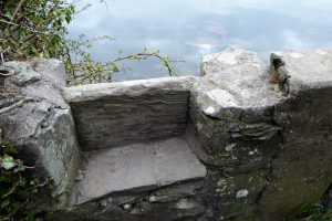
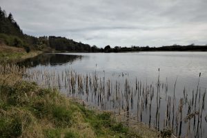
Lough Money is the source for the River Slaney, which flows to the supposed landing spot of Saint Patrick on Strangford Lough. Lough Money’s water is remarkably clear as befits a facility that was once used as a reservoir for Downpatrick. The remains of the disused pumping station still stand on the island in the middle of the lough as do the ugly concrete posts which once supported its security fence. The posts are often beautified by the presence of herons, just one of many bird species that comprise an abundance of birdlife with swans, cormorants and the herons the most visible residents.
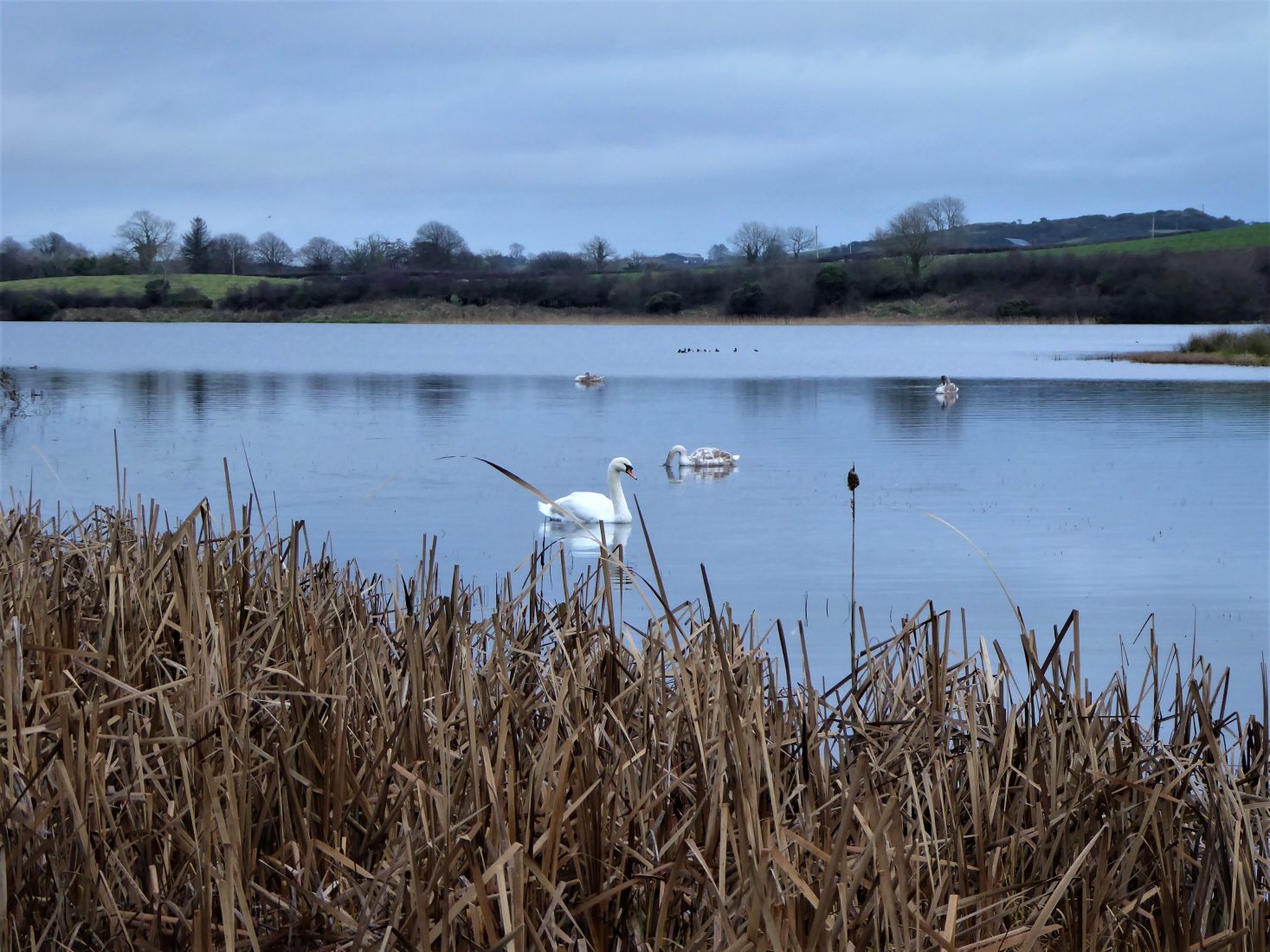
Follow the path to the left of the lough, taking care as you pass anglers on the fishing stands along the edge of the lake. Stocked with rainbow trout, pike and perch, the fishing season runs from February to December.


SHOP: The Trek NI Mountain Mug
Find Out MoreAbout half way round the lough you come to a gate and stile.
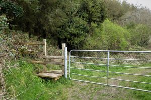
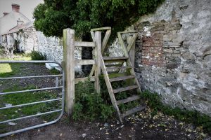
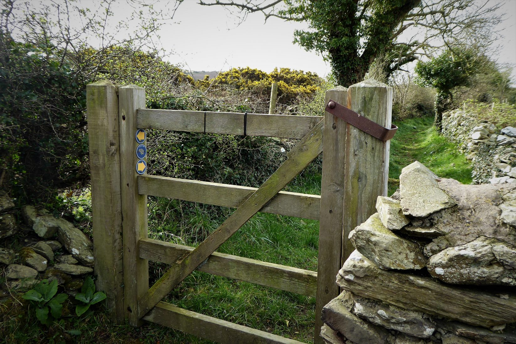
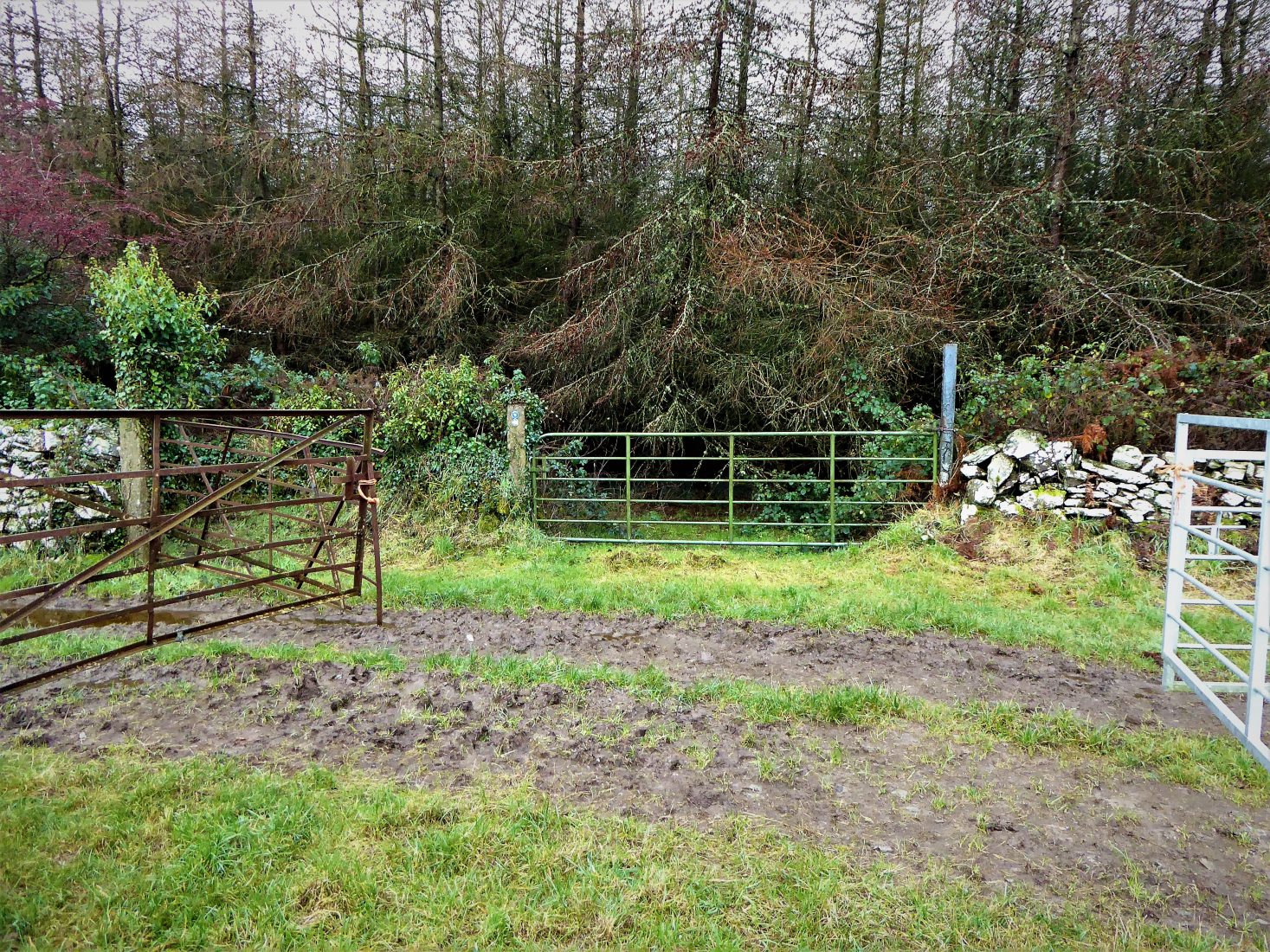
About 1km from the car park the path is interrupted by a gate and stone stile.
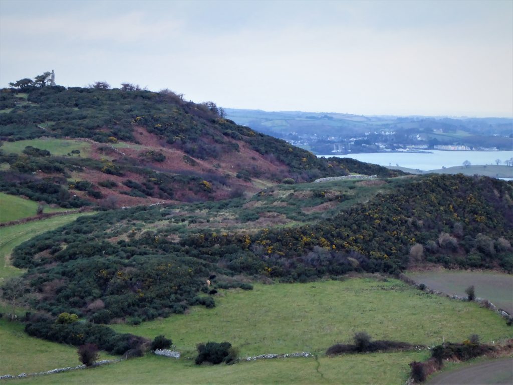
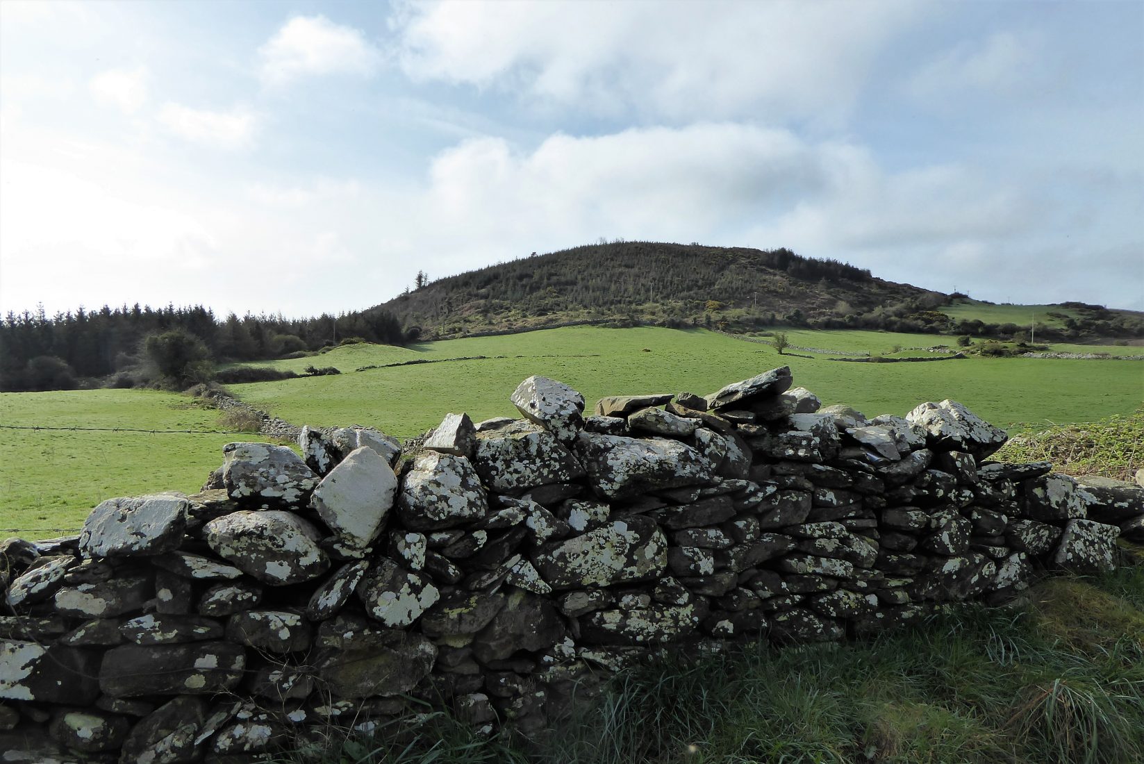
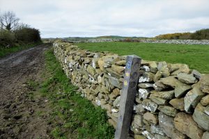
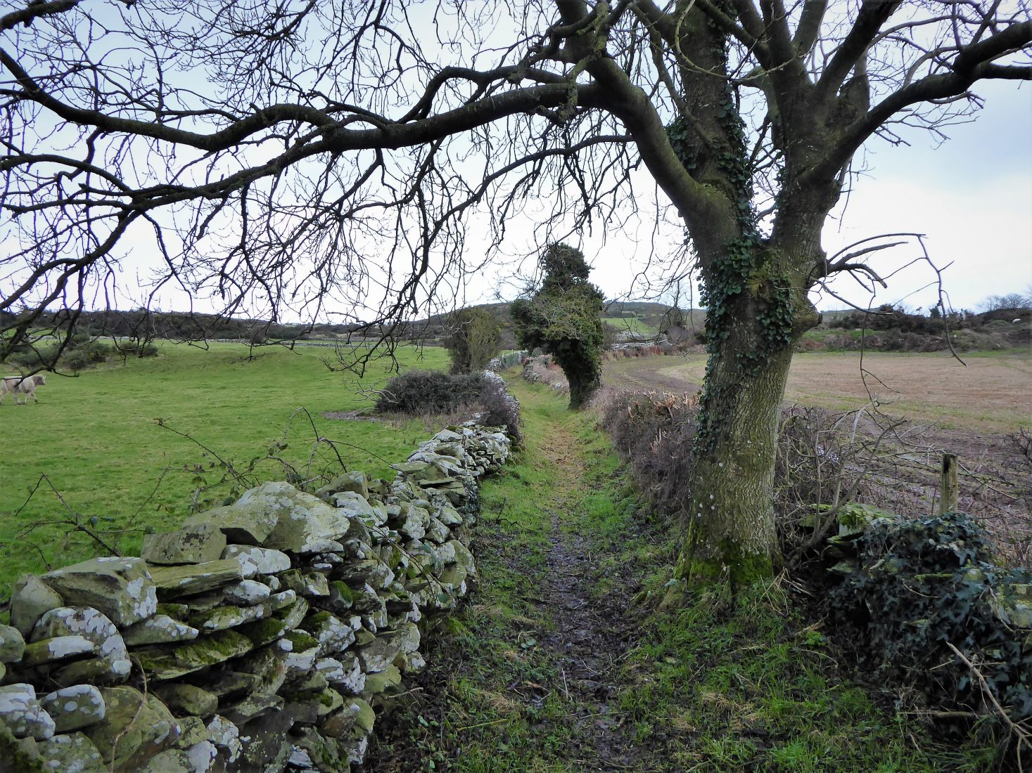
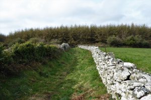
Cross the rather awkward waterside stile with care and turn sharp left onto a grassy path which forms part of the Lecale Way. The path makes its way uphill between dense hedges. The hedges soon give way to dry-stone walls with good views of Slievenagriddle to the left and attractive, undulating countryside to the right.
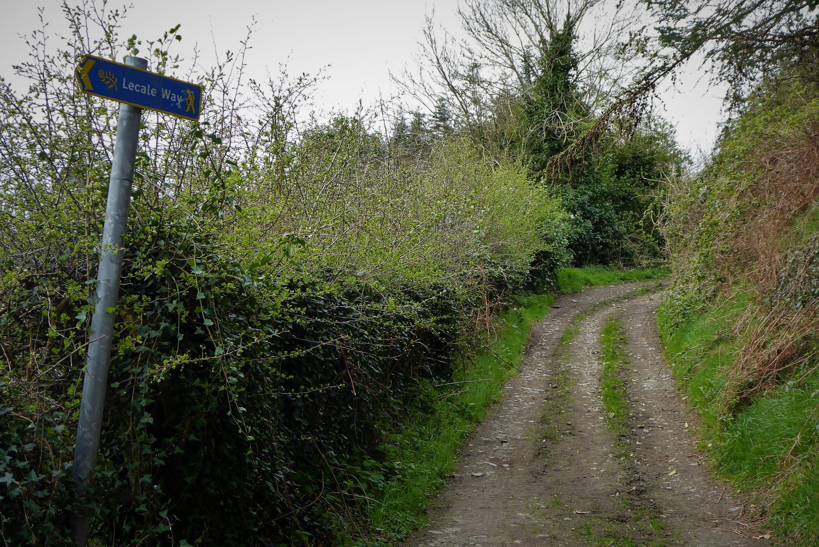
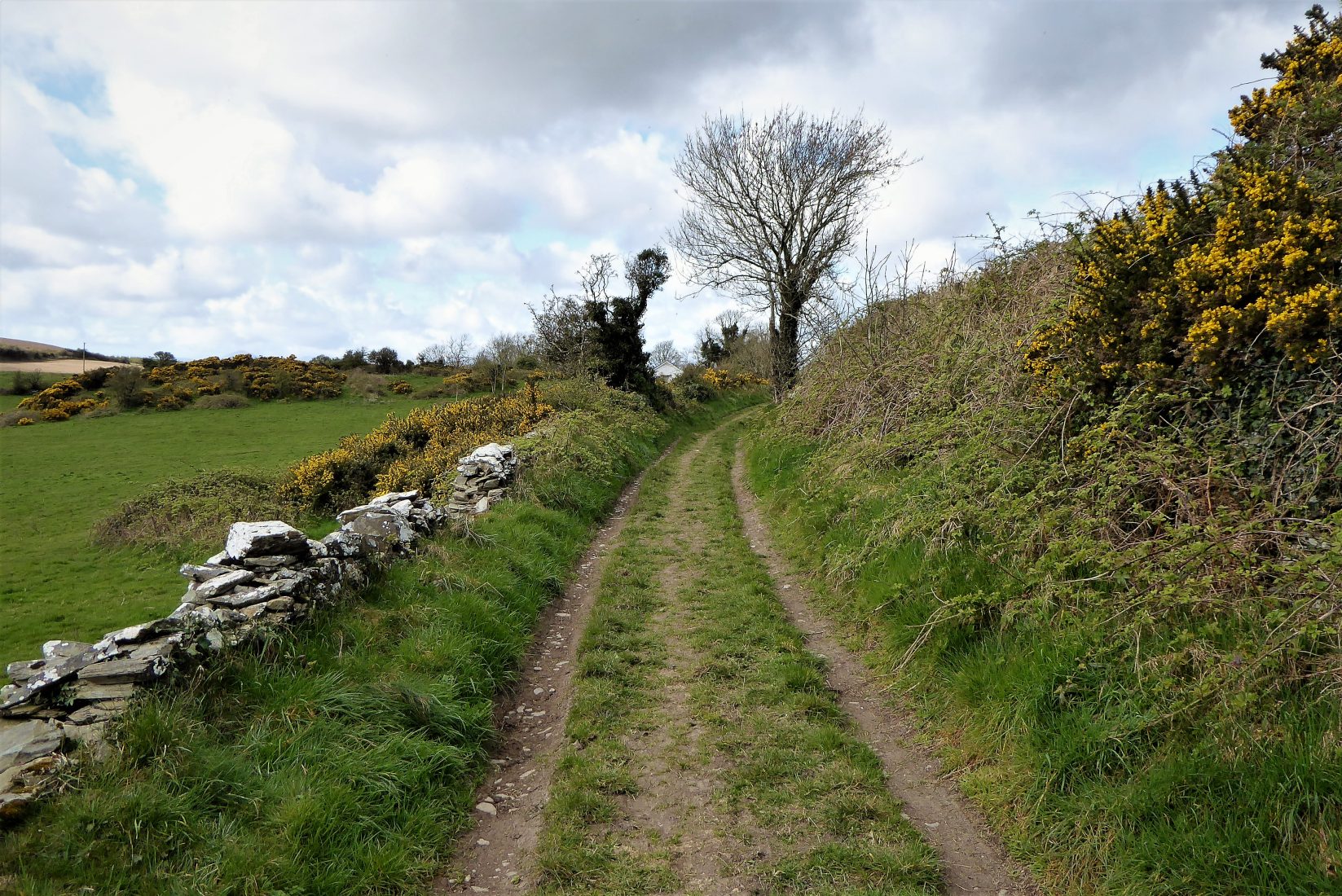
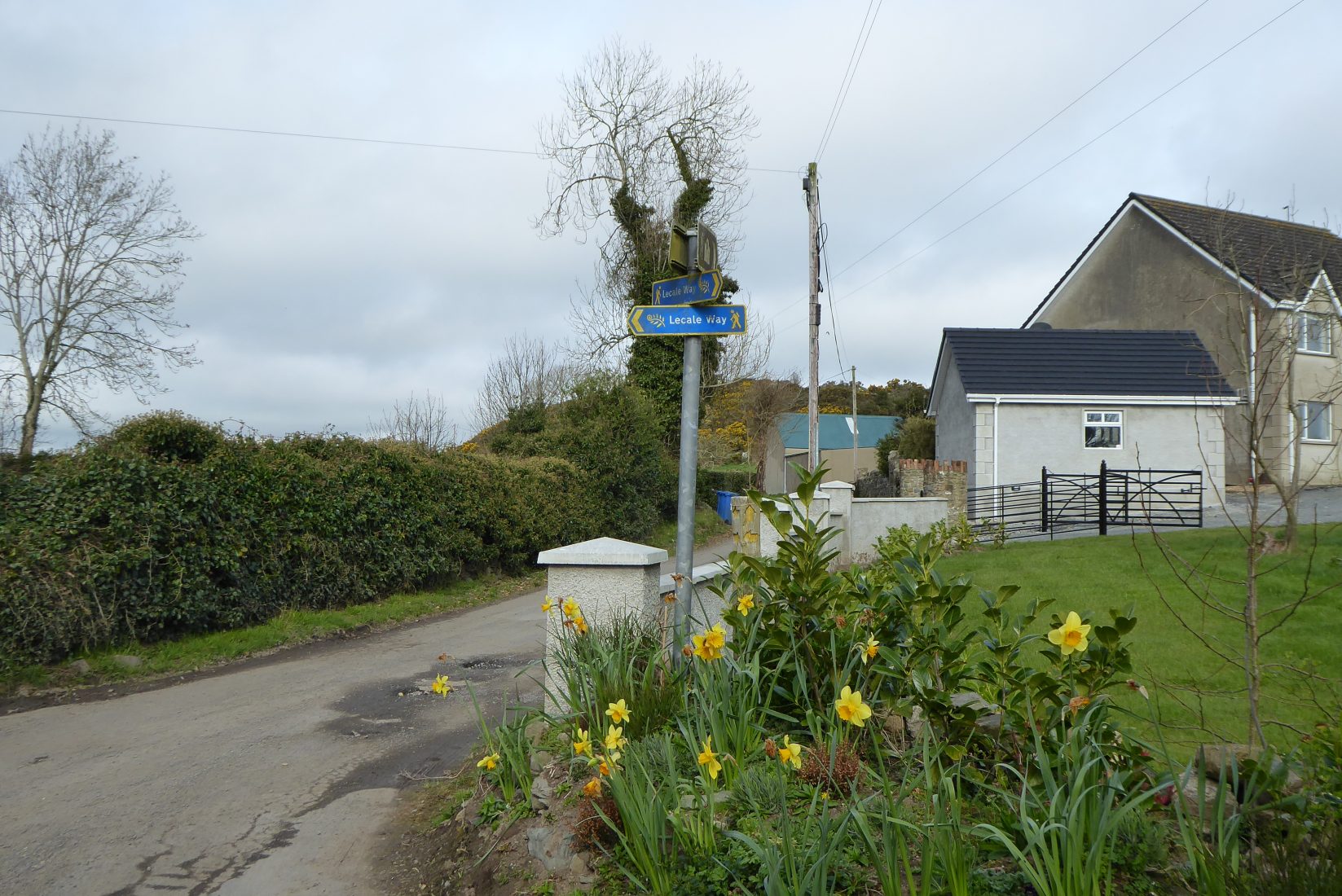
The path runs for about 600m until it meets Ballystokes. The tiny hamlet, comprising only a handful of dwellings, was at one time part of a thriving community, but the area was devastated by the Irish famine. From Ballystokes follow the Lecale Way signs as they guide you over two stiles onto a rather muddy path.

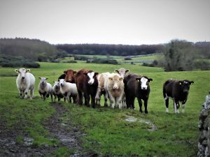
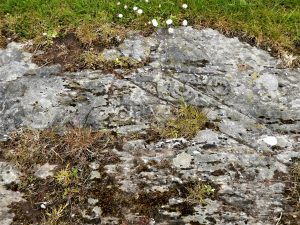
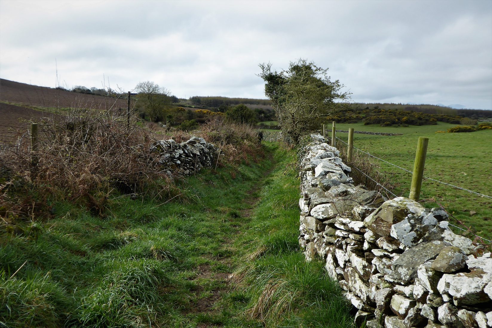
Keep to the right until meeting a gate and the next Lecale Way marker. The field to the right of the gate contains the Ballystokes Inscribed Stone. The stone bears cup and ring markings dating from the Bronze Age. Unfortunately, it is usually partly covered in earth, mud and vegetation as the field is grazed by cattle and sheep who seem blissfully unaware of the significance of the stone.
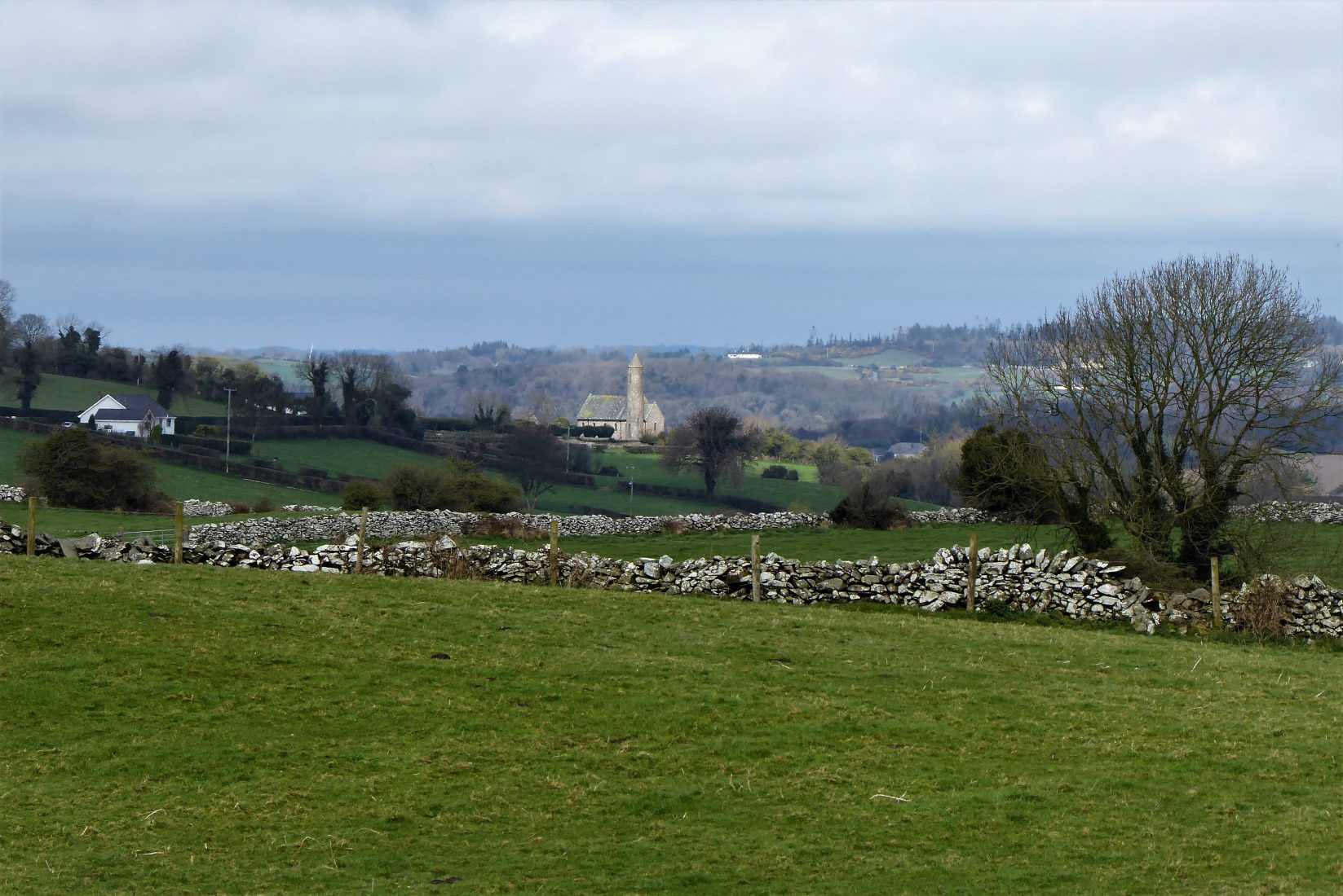
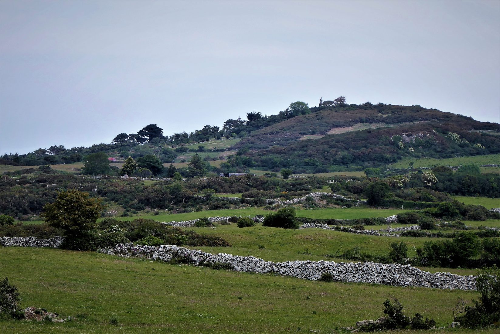
Pass through the gate and continue along the narrow track. Ground conditions are reasonably good, but there are several muddy stretches which deteriorate further in poor weather. The scenery on the right is very pleasant with views of walled fields and scattered rocky outcrops. You may catch a glimpse of Saul Church with its replica round tower and look out for the giant granite figure of Saint Patrick perched on top of Slieve Patrick.

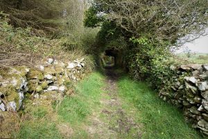
After about a kilometre the path meets a T-junction with several adjacent gates. Turn left onto a narrow path with an ivy covered wall on the left and a conifer plantation on the right. After less than a kilometre, the path arrives at Ballyalton.

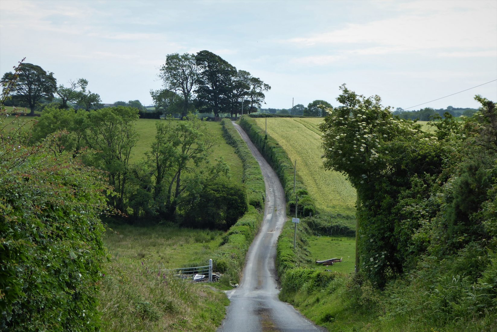
Walk through the village and take the road back to Lough Money. The road is usually quiet, but not traffic free. It passes through pleasant countryside and farmland, reaching the car park after about a kilometre.
READ: 5 perfect sunrise locations in Fermanagh
Find Out More* See: The Pads of North Lecale, by Cadogan Enright and Duane Fitzsimons. This book is a comprehensive overview of traditional routes in the area. The publication is currently out of print, but may be available from local libraries.
7 April 2021
From Downpatrick, take the Bishopscourt/Ballyhornan Road. After about 2 miles, arrive at Ballyalton; drive through the village and take the sign for Lough Money and Ballyculter. Less than a mile further, arrive at Lough Money. There is room for a few cars in the anglers’ car park. If it is full, the walk can begin and end in Ballyalton where there is ample parking space at the Roadhouses Bar.
5km (3 miles)
2 to 3 hours
Temp 8˚C; overcast with sunny intervals, calm
…you enjoy a quiet, peaceful walk with very little by way of hills. Ground conditions are quite good for most of the walk, but expect the occasional muddy section – a short stretch of the Lecale Way approaching Ballystokes seems to be permanently muddy and often flooded, but is passable by sticking to the verge. The short segment of road walking is not traffic free, but is rarely busy.

Derek, 76, spent 35 years working in national, academic and public libraries, followed by 14 years in the wine trade. He only began serious walking in his 60s, although he had previously travelled many miles on foot pursuing his favourite hobby of fishing. After retirement, he decided to give the fish a rest and bother the hills of Ireland and Britain instead. Derek regards walking as a simple pleasure to be enjoyed, not endured, and prefers a solo hike in quiet, remote surroundings.
 Belfast,Photography
5 scenic walks around Lisburn
 Mourne Mountains
Bearnagh: Chased the sunset, caught the rain
 Mourne Mountains
Camping in the High Mournes
 Fermanagh and Tyrone
Cuilcagh: Stairway to Heaven
 Features
Every Game of Thrones Location in Northern Ireland
 Mourne Mountains
Hen and Cock Mountains
 Mourne Mountains
Leganabrachan, Millstone and Thomas: Donard’s Seaside Bodyguards
 Mourne Mountains
Percy Bysshe and Cove Caves