5 Outstanding Late Winter Hikes in the Mourne Mountains
Would you like to sponsor this article?

This walk was undertaken during lockdown in February 2021 when a 10-mile limit for inessential travel was advised. It covers two forests close to Ballynahinch, County Down, with optional visits to two neighbouring sites of historical interest. The route is merely a suggested way of combining two nearby, but quite different, woodland areas. Various alternative start points and directions are possible, but this route seemed to offer the most straightforward option for a walk of decent length.
SHOP: Recycled sweaters – they’re super comfy and eco-friendly!
Find Out MoreStart at the car park for Tievenadarragh Wood on the Oldpark Road and turn right at the first wooden post to begin the walk in an anticlockwise direction.
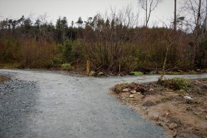
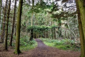
The paths were constructed quite recently and there is an amount of vegetative debris at the edges as a result of the work which, hopefully, time and nature will smooth over. Already, foxglove seedlings have claimed squatters’ rights in the disturbed edges. It was just about possible to walk round the forest before the paths were laid, but there was a severe risk of getting lost in the dense, overgrown conditions.
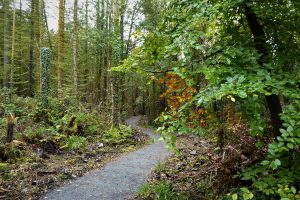
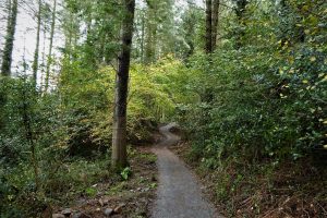
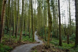
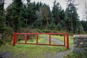
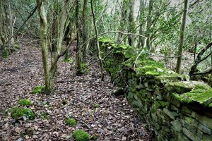
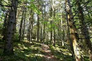
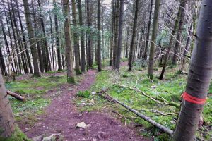
Follow the path as it zigzags its way through conifers and broadleaved forestry, frequently intersected by small streams. The path is almost flat at first and rarely rises beyond a slight incline up or down. After about a kilometre, an old moss-covered boundary walk skirts the path for a few metres. A couple of tight bends add interest to the path as the undulating terrain leads down to a junction of paths with an unfinished turnoff to the left. Carry straight on through a section of tall, straight conifers until you meet a junction. Turn right and walk the few metres to the Newcastle Road exit from the forest which is marked by a red metal gate.
Cross the busy Newcastle Road and turn right on the pedestrian path making your way downhill past some houses for a few hundred metres until meeting Tannaghmore Road on the left. Turn onto Tannaghmore Road and walk for about 500m looking out for the entrance to Bohill Wood on the right.
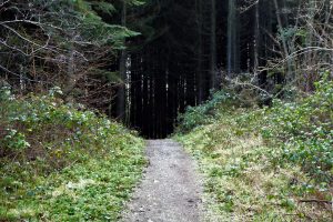
Enter Bohill Wood and take the wide forestry road for about 200m. After walking up a fairly short, steep hill section and rounding a sharp bend, look out for a track on the right which leads through the trees, just after a young holly tree.
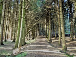
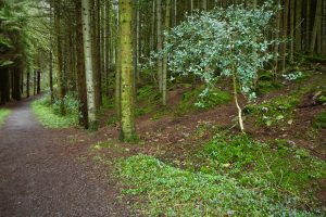
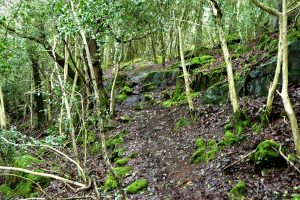
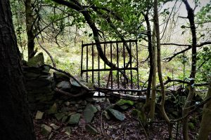
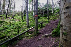
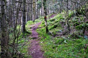
Follow the track as it makes its twisting, and often muddy, way through the trees. Ignore any offshoots to the left and continue straight ahead as the path nears an old boundary wall.
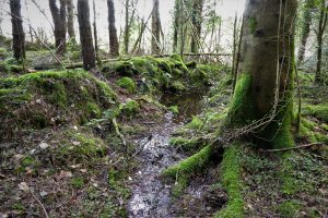
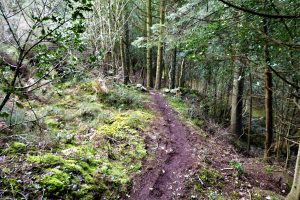
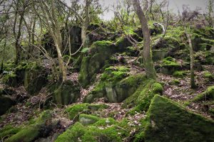
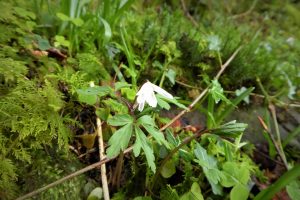
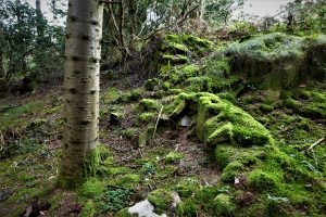
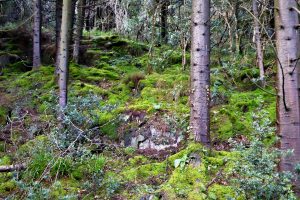
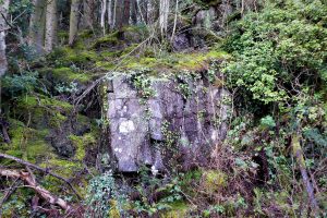
There are lots of rocky outcrops on the steep slopes with mosses and ferns thriving in the moist conditions and deep shade under the canopy of the trees. In spring, you may spot the shade-loving wood anemone.
READ: A winter walk around Roe Valley Country Park
Find Out MoreSoon, you arrive very close to the boundary wall. The path then veers left and rises steeply for about 50m. There are a few openings in the vegetation to the right which lead to the edge of the wood and offer some excellent views to the west in the general direction of the Dromara Hills. However, the target and highlight of the walk is the summit cairn which is not easy to find.
As the gradient flattens out and the path has travelled downhill for about 15 metres, look out for a tree with an orange tape – this marks the beginning of the short path to the cairn. Follow the path between sections of a fallen tree which has been sawn in two. Two or three further orange tapes direct you to the summit.
EXPLORE: Great places to stay in Northern Ireland this year
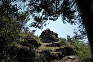
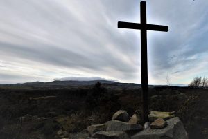
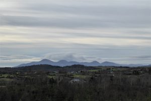
Find Out MoreThe cairn and cross sit at a mere 154m, but the views are remarkably good. Slieve Croob and Slievenisky sit to the west, while the Mournes dominate the view south. Underneath Bohill sits the disused Tannaghmore Reservoir.
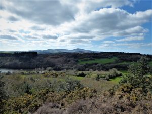
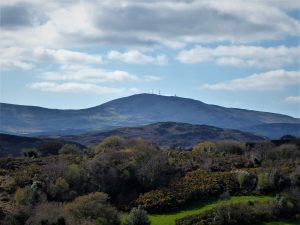
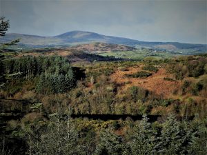
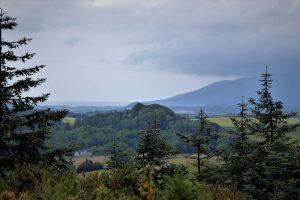
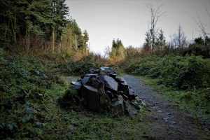
Make your way back to the turn off for the cairn and then follow the steep path downhill. There’s a small cairn just after you reach the bottom of the slope. Following the path back towards the entrance, it’s all rocks, conifers and moss on your left while, on your right, you’ll notice that the trees are mostly deciduous, mainly holly, oak, birch, rowan and hazel.
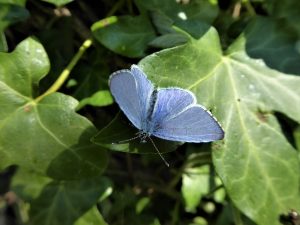
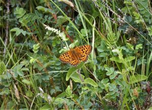
If you are walking in spring, look out for Holly Blue butterflies. The wood is designated as a nature reserve and was established to protect the Holly Blue, once considered rare in County Down but now more widespread. A colony still exists here and the butterfly favours the sunny clearings between the trees. In late summer, you may get a glimpse of a Dark Green Fritillary. Red deer often pass through the reserve, their footprints and droppings giving away their presence.
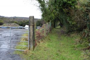
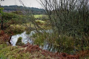
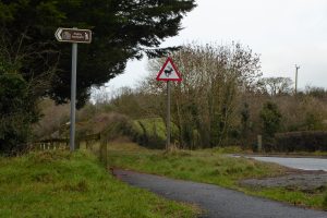
On arrival back at the entrance gate, turn right onto Tannaghmore Road and walk for about 650m. You may be lucky enough to spot a deer in the adjacent fields. Look out for a gap next to a gate on the left – this is the start of a short public footpath; it’s not marked at this end, but you’ll see the sign as you reach the end of the path as it reaches Newcastle Road. There are small wetland areas on either side of the footpath and the path can suffer flooding in very wet weather. On reaching the Newcastle Road, turn left and walk for about 400m, cross the road and enter Tievenadarragh Forest again.
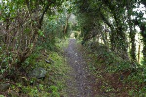
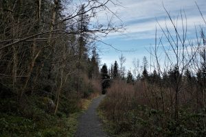
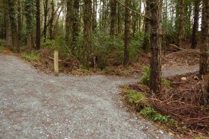
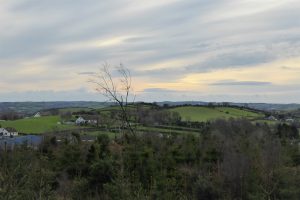
Turn right and stay on the wide forest path ignoring narrower paths to the left and right; keep going gradually uphill for about 500m until you see a post and turnoff on the right. Turn onto the path and head back to the car park, which will soon come into view. If visibility is reasonable, good views of the Mournes and the surrounding countryside should be accessible from several viewpoints.
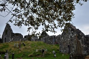
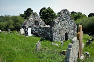
If you have an interest in history, the adjacent area has a couple of gems to offer. The Loughinisland churches were built between the 13th and 17th centuries. They are located near the village of Loughinisland on an island in the lough reached by a causeway.
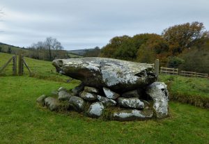
Annadorn dolmen sits in a field on the north-east shore of Loughinisland Lough. United Irishmen leader Thomas Russell used the stone as a platform to address his gatherings in Loughinisland. Russell, formerly Librarian of Belfast’s Linen Hall Library, was hanged in Downpatrick on 21 October 1803.
From Ballynahinch, take the A24 Newcastle Road for about 5½ miles and turn left just before Brennan’s garage/shop at the sign for Loughinisland/Crossgar. Don’t take the Loughinisland road; instead keep left onto Oldpark Road. Just less than a mile up the road look out for the Tievenadarragh car park on your left.
To get to the Loughinisland churches, return towards the Newcastle Road, turn left at the sign for Loughinisland and follow the signs for the Loughinisland churches. It’s probably better to travel by car as the road is reasonably busy and has no pavement or safe verges for walkers.
For Annadorn Dolmen, follow the same route, but don’t turn right at the second brown sign for the churches (Drumgooland Road). Instead carry straight on with Loughinisland Lough on your right. In less than a mile, look out for steps and railings on your right, just before a signpost for Annadorn/Tyrella. The Dolmen is reached via the steps.
7.5km (5 miles)
2½ hours
…you enjoy a forest walk with the added bonus of some excellent views. It’s likely to be a quiet walk, especially in Bohill Wood. Since the provision of the car park and new trails, Tievenadarragh has become quite popular, but there’s plenty of room to enjoy your own space if that’s your preference. For those with even a passing interest in local history, the Loughinisland churches are one of the most impressive and evocative historic sites in County Down. The graveyard is also very interesting, the oldest grave dating back to 1617.
The forest walks can be taken separately. If visiting Bohill, you can park at the entrance or at the roadside. Bohill can be quite muddy in parts and stout footwear is recommended.
 Belfast,Photography
5 scenic walks around Lisburn
 Mourne Mountains
Bearnagh: Chased the sunset, caught the rain
 Mourne Mountains
Camping in the High Mournes
 Fermanagh and Tyrone
Cuilcagh: Stairway to Heaven
 Features
Every Game of Thrones Location in Northern Ireland
 Mourne Mountains
Hen and Cock Mountains
 Mourne Mountains
Leganabrachan, Millstone and Thomas: Donard’s Seaside Bodyguards
 Mourne Mountains
Percy Bysshe and Cove Caves